The best road cycling routes around Llandrindod Wells
4.6
(35)
774
riders
19
rides
Road cycling around Llandrindod Wells offers varied terrain across Mid Wales, characterized by undulating hills, peaceful country lanes, and significant elevation changes. The region features the scenic Elan Valley Reservoirs, providing routes alongside water bodies and through valleys. Further afield, the Cambrian Mountains present challenging ascents and expansive vistas. The area's topography includes a mix of open countryside and forested sections, making it suitable for diverse road cycling experiences.
Best road cycling routes around Llandrindod Wells
- The most popular road…
Last updated: October 6, 2026
13
riders
107km
05:51
1,680m
1,680m
The Radnor Ring East — Sustrans Route 825 offers a difficult racebike challenge through the stunning Mid-Wales scenery. This route covers 66.5 miles (107.0 km) with a significant 5504 feet…
5.0
(2)
50
riders
61.2km
02:59
800m
800m
Moderate road ride. Good fitness required. Mostly well-paved surfaces and easy to ride.

5.0
(5)
20
riders
49.0km
02:26
540m
540m
Moderate road ride. Good fitness required. Mostly well-paved surfaces and easy to ride.
18
riders
140km
06:32
1,730m
1,730m
Hard road ride. Very good fitness required. Mostly well-paved surfaces and easy to ride.
9
riders
37.2km
01:53
450m
450m
Moderate road ride. Good fitness required. Mostly well-paved surfaces and easy to ride.
Get access to more routes and recommendations from other explorers.
Already have an account?
Our route recommendations are based on thousands of hikes, rides, and runs completed by other people on komoot.
Start today with a free account
Your next adventure awaits.
Tips from the Community

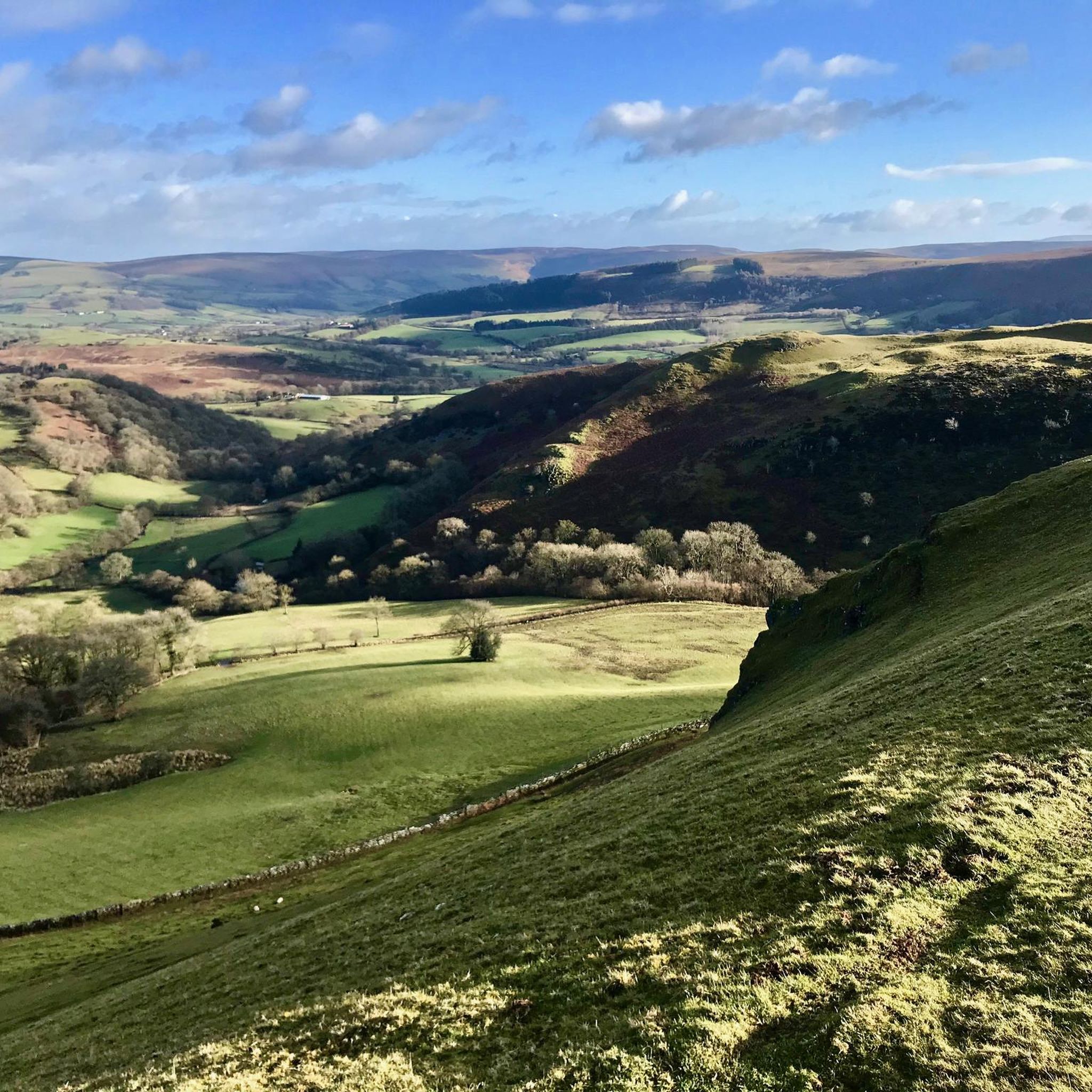
Nestled high among the Cambrian Mountains, Bwlch-y-sarnau is a picturesque little farming hamlet. The Glyndŵr’s Way long-distance trail runs through here and the local self-service cafe is named for the trail. The cafe is run by local volunteers and all proceeds go to the community centre.
1
0
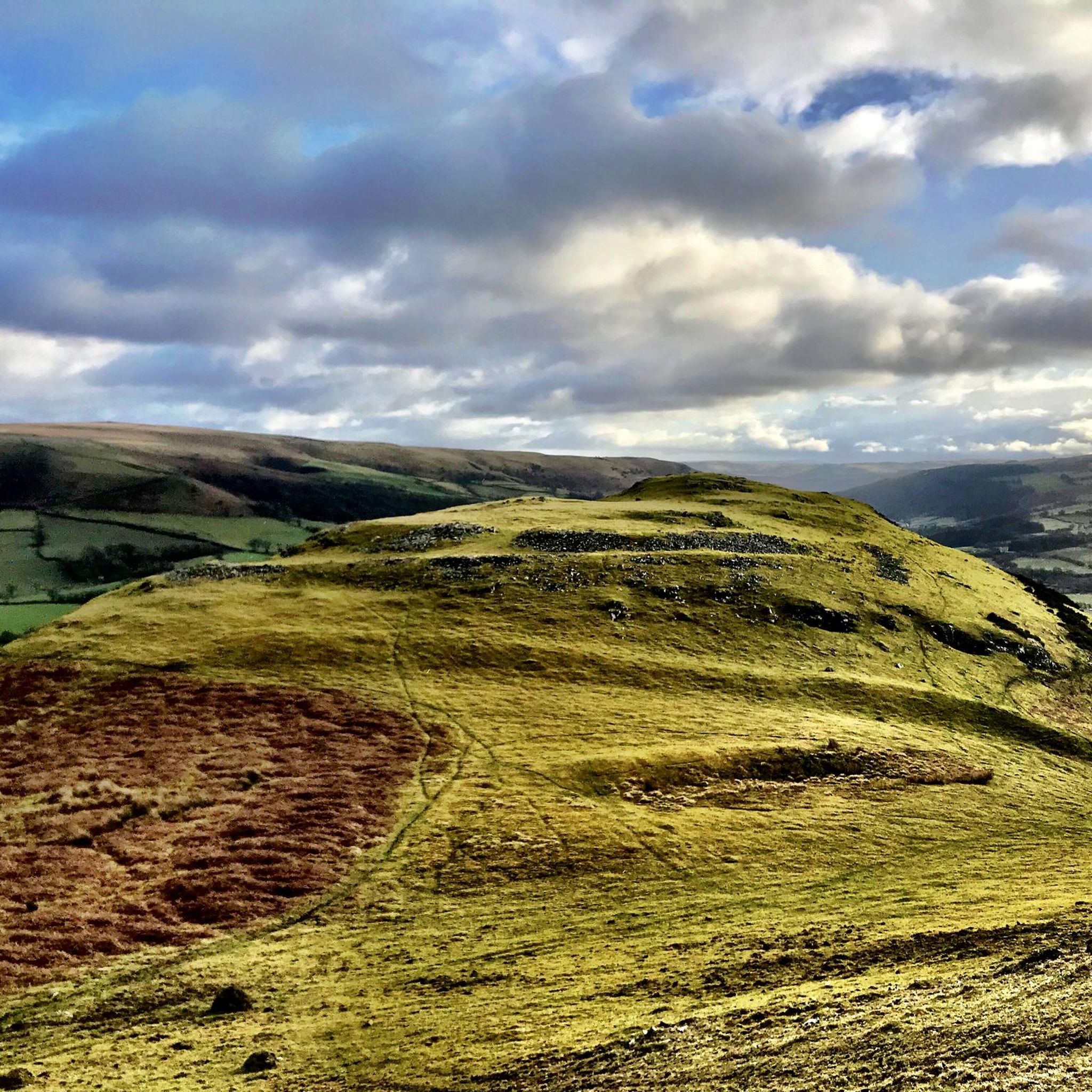
Abbeycwmhir was once home to the largest abbey in Wales, though it was never finished. In 1401, the building was burned to the ground by Owain Glyndŵr’s forces and the ruins can still be seen. Today, the village is on the Glyndŵr’s Way long-distance trail and hikers have a couple of accommodation options. The Happy Union pub has a holiday cottage and, although it doesn’t serve standard pub meals, you can arrange sandwiches or soup in advance. There’s also a B&B in the village.
1
0


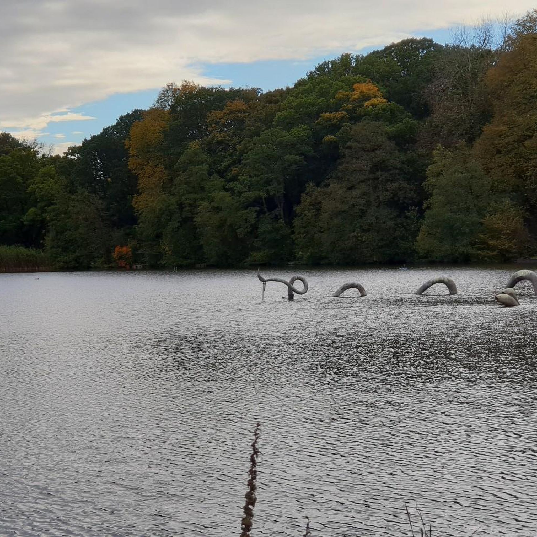
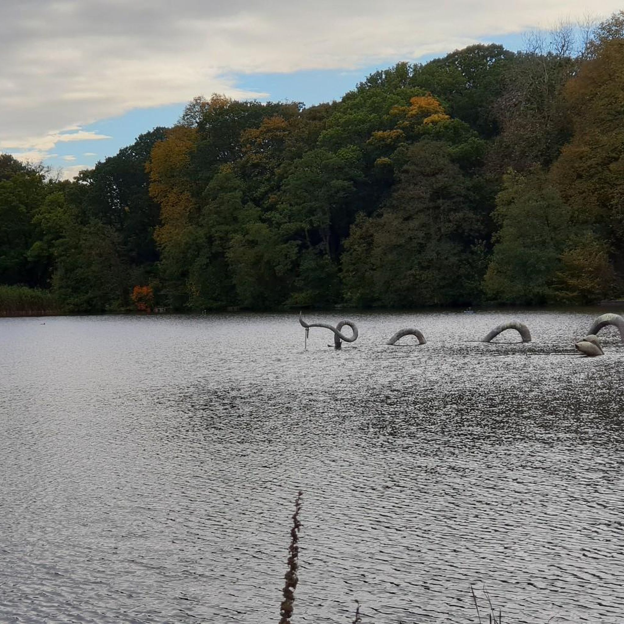
The Elan Valley (Welsh: Cwm Elan) is a river valley situated to the west of Rhayader, in Powys, Wales, sometimes known as the "Welsh Lake District". It covers 70 square miles (180 km2) of lake and countryside. Caban Coch Dam.
0
0


Great picturesque trail cutting out the road and yes gates
1
0
Frequently Asked Questions
What types of terrain can I expect on road cycling routes around Llandrindod Wells?
Road cycling around Llandrindod Wells features a diverse landscape. You'll encounter undulating hills, peaceful country lanes, and significant elevation changes, particularly as you approach the Cambrian Mountains. The region also offers scenic routes alongside the Elan Valley Reservoirs and through forested sections, providing a varied experience for cyclists.
Are there challenging road cycling routes for experienced riders?
Yes, Llandrindod Wells offers several challenging routes. The region provides access to the expansive Cambrian Mountains, known for demanding ascents and breathtaking vistas. For example, the Radnor Ring East — Sustrans Route 825 is a difficult 66.5-mile trail with over 1600 meters of elevation gain. Another challenging option is the Rhayader Town Clock – Devil's Bridge and Waterfalls loop from Llandrindod, covering nearly 140 km with significant climbing.
Are there any less challenging or moderate road cycling routes available?
Absolutely. While the area has challenging options, there are also plenty of moderate routes. For instance, the Elan Valley Reservoirs – Rhayader Town Clock loop from Llandrindod is a moderate 37.9-mile path offering scenic views without extreme difficulty. Another moderate option is the Rhayader Town Clock – Rhayader Town Centre loop from Llandrindod, a 30.6-mile trail through the Mid Wales countryside.
What natural features or landmarks can I see along the cycling routes?
The region is rich in natural beauty and landmarks. You can cycle alongside the stunning Elan Valley Reservoirs, which offer magnificent views. Routes may also take you past the Afon Elan Suspension Bridge or towards the dramatic Water-Break-Its-Neck Waterfall. The area also features various peaks and viewpoints like Aberedw Hill Summit, providing panoramic vistas.
Are there any circular road cycling routes around Llandrindod Wells?
Yes, circular routes are a highlight of the area. The well-known Radnor Ring (National Cycle Network Route 825) offers an 84-mile or alternative 73-mile circular route traversing diverse scenery. Shorter local loops like the Elan Valley Reservoirs – Rhayader Town Clock loop from Llandrindod and the Builth Wells Bridge – Builth Wells loop from Llandrindod also provide excellent circular options.
What is the best time of year to go road cycling in Llandrindod Wells?
The spring, summer, and early autumn months generally offer the best conditions for road cycling in Llandrindod Wells, with milder weather and longer daylight hours. While winter cycling is possible, conditions can be challenging due to colder temperatures, potential ice, and shorter days, especially in higher elevations like the Cambrian Mountains.
Are there any family-friendly cycling options in the area?
While many road cycling routes involve hills and longer distances, the picturesque Llandrindod Wells Lake offers a pleasant circular path suitable for leisurely cycling, which can be a good option for families. The dedicated Elan Trail cycle path in the Elan Valley also provides a safer, traffic-free environment for family rides.
Where can I find cafes or pubs along the cycling routes?
Llandrindod Wells and nearby towns like Rhayader and Builth Wells offer various cafes, pubs, and accommodations that welcome cyclists. The village of Penybont, for example, features the Thomas Shop, a museum with a welcoming tearoom. Planning your route with komoot allows you to easily identify points of interest, including places for refreshments, along your chosen path.
What do other road cyclists enjoy most about cycling in Llandrindod Wells?
The area is highly rated by the komoot community, with an average score of 5.0 stars. Reviewers often praise the stunning and varied landscapes, the peaceful country lanes, and the dramatic scenery of the Elan Valley and Cambrian Mountains. The diverse range of routes, from moderate to difficult, also receives positive feedback for catering to various ability levels.
Is public transport available to access cycling routes, or is parking recommended?
Llandrindod Wells is well-connected by train, making it accessible via public transport, and the town itself serves as an excellent starting point for many routes. For those arriving by car, parking is generally available in Llandrindod Wells and other key towns like Rhayader, allowing you to easily access the various cycling trails.
Are there any historical or cultural attractions relevant to cycling in Llandrindod Wells?
Yes, Llandrindod Wells is home to the National Cycle Museum, located in the Grade 2 listed Art Deco building known as The Automobile Palace. This museum showcases over 260 bicycles, celebrating more than two centuries of cycling evolution, offering a unique cultural and historical interlude for touring cyclists.
How many road cycling routes are available around Llandrindod Wells?
There are over 19 road cycling routes available around Llandrindod Wells on komoot, catering to various skill levels. These include 12 moderate routes and 7 difficult routes, ensuring options for both casual riders and those seeking a significant challenge.
Most popular routes around Llandrindod Wells
Most popular attractions around Llandrindod Wells

Get inspired with the komoot mobile app


Explore more
Browse the best Road cycling routes in other regions.
