The best cycling routes around Llanyre
4.6
(101)
1,703
riders
84
rides
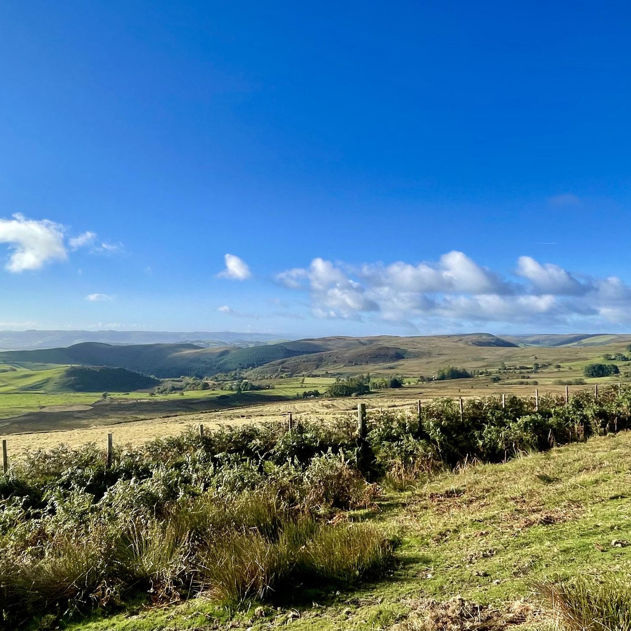
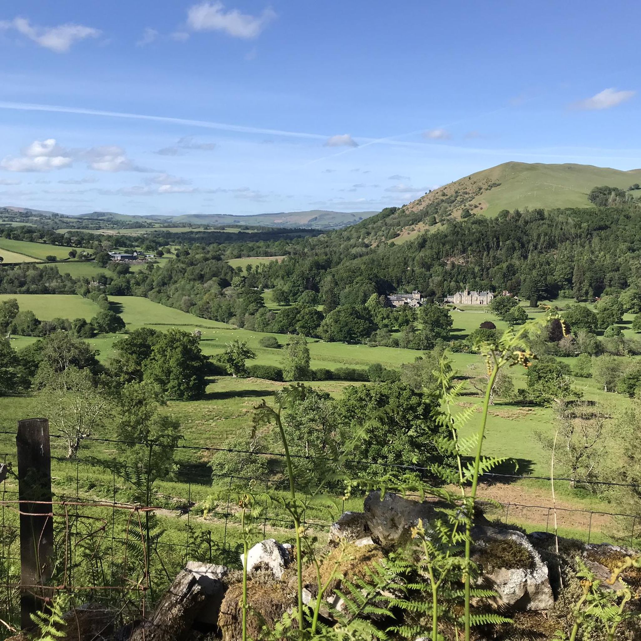
Touring cycling routes around Llanyre are situated in the upper Wye Valley, characterized by rolling hills and open moorland. The region is known for its proximity to the Elan Valley, featuring a dramatic landscape of reservoirs and dams. This area offers diverse terrain, from riverside paths along the River Wye to more challenging climbs through the Mid Wales countryside.
Best touring cycling routes around Llanyre
- The most popular touring cycling route is Radnor Ring Cycle Route, a 68.5 miles (110.2 km) trail that takes 7 hours 32 minutes to complete. This challenging route explores the scenic Radnor Forest area.
- Another top favourite among local touring cyclists is Radnor Ring West — Sustrans Route 825, a difficult 48.3 miles (77.7 km) path. This route is part of the national Sustrans network, offering extensive views of the western Radnor countryside.
- Local touring cyclists also love the Rhayader and Llanwrthwl loop from Newbridge-on-Wye, a 24.2 miles (39.0 km) trail leading through the Wye Valley, often completed in about 2 hours 39 minutes.
- Touring cycling around Llanyre is defined by the Elan Valley reservoirs, the River Wye, and extensive rolling hills. The network offers options for different ability levels, from leisure rides to challenging long-distance routes.
- The routes in Llanyre are highly rated by the komoot community with an average score of 4.8 stars from over 70 reviews. More than 1700 touring cyclists have used komoot to explore Llanyre's varied terrain.
Last updated: October 4, 2026
3.0
(1)
5
riders
110km
07:32
1,770m
1,770m
Embark on the Radnor Ring Cycle Route, a challenging touring bicycle adventure that winds through the diverse landscapes of Mid-Wales. This difficult route spans 68.5 miles (110.2 km) and features a significant elevation gain of 5817 feet (1773 metres), requiring good fitness to complete in an estimated 7 hours and 31 minutes. You will experience a mix of quiet country lanes, scenic river valleys, and demanding mountain roads, all while enjoying views of both stark uplands and lush, green terrain. Keep an eye out for the impressive viaduct at Knucklas, a notable landmark along the way. You will cycle through open moorland, varied woodlands, and deep valleys, crossing the border between Wales and England multiple times.
Given the route's difficulty and substantial climbing, many cyclists choose to spread the journey over two to three days. This allows you to fully appreciate the scenery and manage the more strenuous sections at a comfortable pace. Along the way, you will find charming towns and villages that offer opportunities for accommodation, meals, and resupplies. Consider your parking and start points carefully, as many quiet lanes provide a peaceful beginning to your ride with minimal motor traffic.
The Radnor Ring is more than just a cycle route; it is an immersive journey into the heart of Mid-Wales, showcasing its natural beauty and varied topography. The trail's blend of open moorland, dense woodlands, and deep valleys provides a constantly changing backdrop for your ride. This route is particularly notable for its spectacular views and the unique experience of traversing the border between Wales and England multiple times, offering a distinct sense of place and adventure.
5.0
(1)
12
riders
39.0km
02:39
490m
490m
Hard bike ride. Very good fitness required. Mostly paved surfaces. Suitable for all skill levels.

4.0
(1)
4
riders
77.7km
05:22
1,200m
1,200m
Hard bike ride. Very good fitness required. Mostly paved surfaces. Suitable for all skill levels.
18
riders
58.6km
03:49
740m
740m
Hard bike ride. Very good fitness required. Mostly paved surfaces. Suitable for all skill levels.
14
riders
Moderate bike ride. Good fitness required. Mostly paved surfaces. Suitable for all skill levels.
Get access to more routes and recommendations from other explorers.
Already have an account?
Our route recommendations are based on thousands of hikes, rides, and runs completed by other people on komoot.
Start today with a free account
Your next adventure awaits.
Tips from the Community

Route 8 comes into Builth Wells through a lovely park along the river. The Asda Express at the petrol station, visible from Route 8, is also a useful place to pick up supplies.
0
0


The Irfon flows from Bryn Garw in the Cambrian Mountains down to Builth Wells joining the Wye.
0
0
Excellent cafe here. Ty Penbont.
1
0

Frequently Asked Questions
How many touring cycling routes are available around Llanyre?
There are over 90 touring cycling routes around Llanyre listed on komoot, offering a wide range of options for different skill levels and preferences. These routes explore the upper Wye Valley, the Elan Valley, and the rolling hills of Mid Wales.
What kind of terrain can I expect on touring cycling routes near Llanyre?
The terrain around Llanyre is diverse, ranging from riverside paths along the River Wye to more challenging climbs through the Mid Wales countryside. You'll encounter rolling hills, open moorland, and dedicated cycle paths around the Elan Valley reservoirs. Routes like the Radnor Ring Cycle Route feature significant elevation gain, while sections of the Elan Valley Trail offer traffic-free, gentler gradients.
Are there any family-friendly touring cycling routes in the Llanyre area?
Yes, the Elan Valley is particularly well-suited for family cycling, offering traffic-free sections and scenic routes along the reservoirs. While specific family-friendly routes aren't detailed in the provided data, the general nature of the Elan Valley Trail makes it a good option for leisure cycling with children. For more challenging rides, routes like the Radnor Ring West — Sustrans Route 825 are generally for more experienced cyclists.
What are the best times of year for touring cycling around Llanyre?
Spring and autumn are generally ideal for touring cycling in Mid Wales, offering pleasant temperatures and beautiful scenery. Summer is also popular, though routes can be busier. Winter cycling is possible but be prepared for colder, potentially wet conditions, especially on exposed moorland sections. Always check local weather forecasts before heading out.
Are there any circular touring cycling routes near Llanyre?
Yes, several routes are designed as loops. For instance, the challenging Radnor Ring Cycle Route is a significant circular tour. Another option is the Rhayader and Llanwrthwl loop from Newbridge-on-Wye, which takes you through the scenic Wye Valley.
What landmarks or natural features can I see along the touring cycling routes?
The routes around Llanyre offer stunning natural beauty and notable landmarks. You can cycle past the impressive Caban-Coch Dam and Reservoir, explore the Elan Valley's other reservoirs like Garreg Ddu, and enjoy views from various viewpoints such as Aberedw Hill Summit or Picnic Area at Craig Goch Dam. The River Wye also provides beautiful riverside landscapes.
Are there places to stop for refreshments or food along the routes?
Yes, the nearby market town of Rhayader is a natural stopping point for cyclists, offering pubs and cafes for refreshment. The Elan Valley Visitor Centre, located below Caban Coch Dam, also provides facilities. Many routes, especially those in the Elan Valley, are designed with rest areas and amenities in mind.
What is the difficulty level of touring cycling routes around Llanyre?
The routes around Llanyre cater to various abilities. While there are easier, more leisurely rides, particularly in the Elan Valley, many routes are considered challenging. For example, the Radnor Ring Cycle Route and Radnor Ring West — Sustrans Route 825 are both rated as difficult due to their length and significant elevation gains. There are 48 difficult routes, 34 moderate, and 8 easy routes available.
Is parking available near the touring cycling routes?
Parking is generally available at key access points for the cycling routes, particularly in the Elan Valley and towns like Rhayader. The Elan Valley Visitor Centre is a good starting point with parking facilities. For specific routes, it's advisable to check the route details for recommended parking locations.
Can I bring my dog on the touring cycling routes?
While many outdoor areas in Wales are dog-friendly, specific rules can vary for cycling routes, especially those passing through farmland or nature reserves. The Elan Valley Trail is generally suitable for dogs on leads, but always be mindful of livestock and local signage. For other routes, it's best to check individual route descriptions or local guidelines regarding dogs.
What do other touring cyclists enjoy most about cycling in Llanyre?
The touring cycling routes around Llanyre are highly rated by the komoot community, with an average score of 4.8 stars from over 70 reviews. Cyclists often praise the stunning natural landscapes, particularly the dramatic reservoirs and dams of the Elan Valley, and the diverse terrain that offers both challenging climbs and scenic riverside paths.
Are there any long-distance touring cycling routes that pass through Llanyre?
Yes, for more ambitious touring cyclists, the area is part of or close to several long-distance routes. The Radnor Ring Cycle Route is a challenging 68.5-mile tour, and the Radnor Ring West — Sustrans Route 825 is a 48.3-mile section of the national Sustrans network, offering extensive views of the western Radnor countryside.
Most popular attractions around Llanyre

Get inspired with the komoot mobile app


Explore more
Browse the best Cycling routes in other regions.
