The best cycling routes around Tirymynach
4.4
(55)
969
riders
86
rides
Touring cycling around Tirymynach, a community north of Aberystwyth in Ceredigion, Wales, offers diverse landscapes for cyclists. The region features a coastline along Cardigan Bay to the west, transitioning inland to the Cambrian Mountains and fertile river valleys such as the Ystwyth and Rheidol. Ancient woodlands and local nature reserves contribute to varied terrain, providing a mix of coastal paths, river routes, and undulating country roads.
Best touring cycling routes around Tirymynach
- The most popular touring cycling route is Black…
Last updated: July 6, 2026
4.5
(6)
37
riders
38.5km
02:31
400m
400m
Cycle the moderate Black Covert loop via the Ystwyth Trail, a 23.9-mile route through woodlands, farmlands, and wetlands.
5.0
(3)
16
riders
60.3km
04:04
750m
750m
Hard bike ride. Very good fitness required. Mostly paved surfaces. Suitable for all skill levels.

Sign up for free
20
riders
64.9km
04:29
1,110m
1,110m
Hard bike ride. Very good fitness required. Mostly paved surfaces. Suitable for all skill levels.
3
riders
47.5km
03:18
770m
770m
Hard bike ride. Very good fitness required. Mostly paved surfaces. Suitable for all skill levels.
3.3
(3)
4
riders
33.3km
02:18
480m
480m
Hard bike ride. Very good fitness required. Mostly paved surfaces. Suitable for all skill levels.
Get access to more routes and recommendations from other explorers.
Sign up for free
Already have an account?
Our route recommendations are based on thousands of hikes, rides, and runs completed by other people on komoot.
Start today with a free account
Your next adventure awaits.
Login or Signup

Tips from the Community

Nant y Moch Reservoir is a significant water reservoir located in the Cambrian Mountains of Wales, specifically in the county of Ceredigion. It was constructed in the late 20th century and is primarily used for water supply. The reservoir is situated near the village of Llanidloes and is part of the larger infrastructure managed by Welsh Water. The area surrounding Nant y Moch Reservoir is known for its natural beauty, featuring rolling hills, moorland, and diverse wildlife. It is a popular destination for outdoor activities such as walking, birdwatching, and fishing. The reservoir itself is also used for recreational purposes, and there are walking trails around its perimeter that offer stunning views of the water and the surrounding landscape. In terms of ecology, the reservoir and its surroundings support various plant and animal species, making it an important area for conservation as well as recreation. The combination of natural beauty and recreational opportunities makes Nant y Moch a valued spot in the Welsh countryside.
0
0

Beautiful. What would it be like to go back in time and walk around here...
0
0

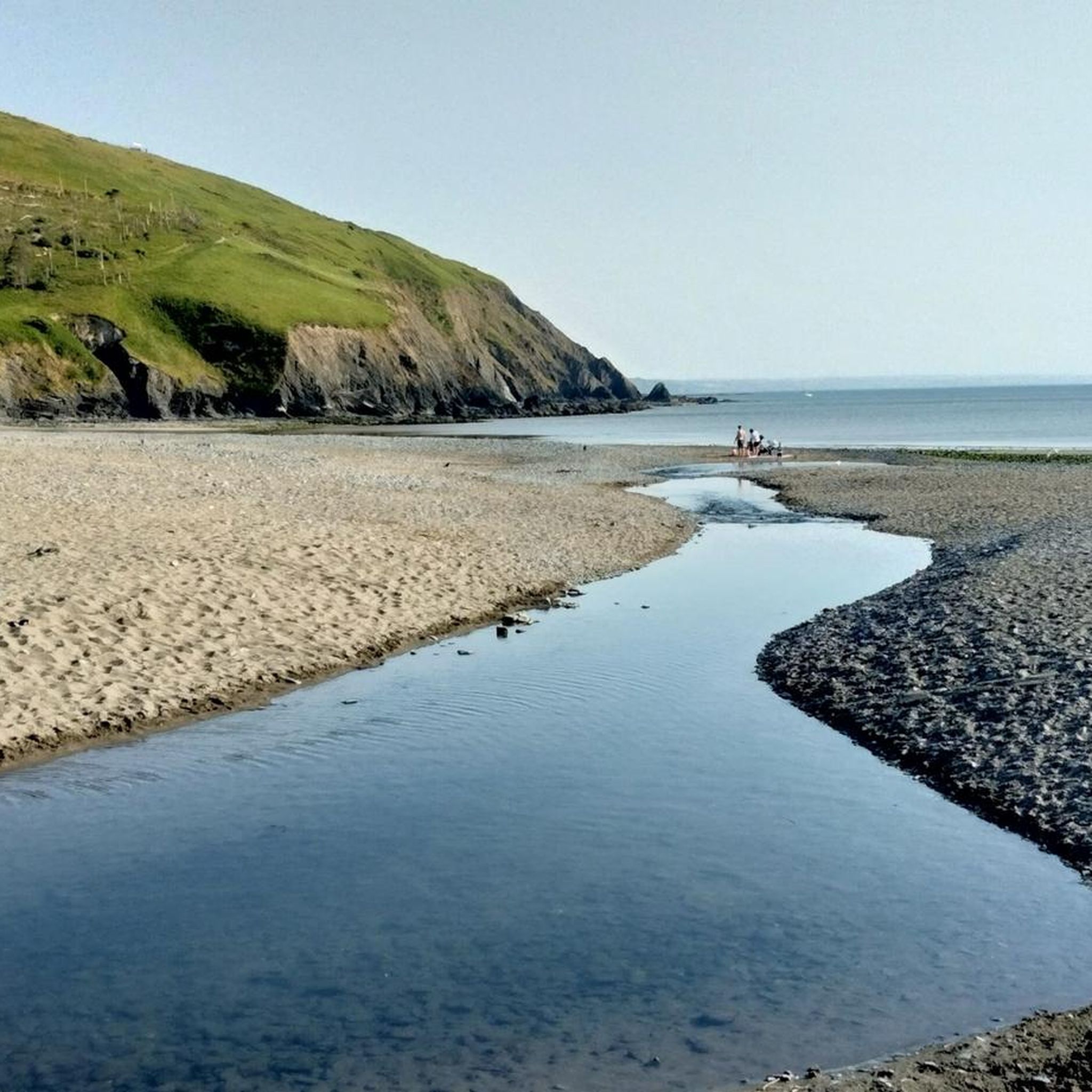
Here you'll cross over the Afon Leri river at the Dyfi estuary at Ynyslas. This area is part of the Ynyslas National Nature Reserve, a huge area where at low tide, the remains of an ancient submerged forest with stumps of petrified oak, pine, birch, willow and hazel are exposed on the beach.
1
0
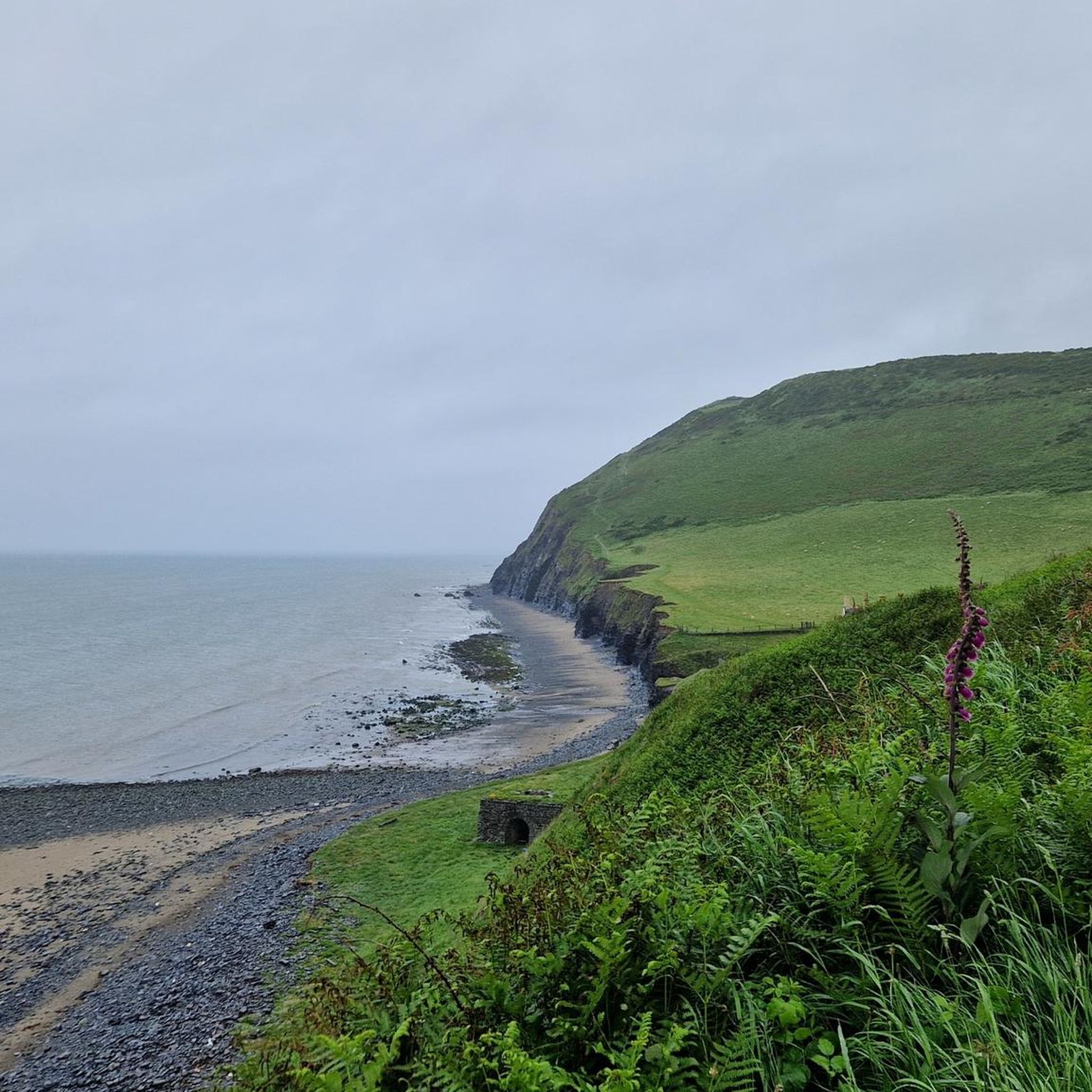
Fabulous viewpoint of Borth Beach after a gruelling climb out of Aberystwyth.
2
0

Great castle to visit - very accessible and a lot of fun!!
0
0

To view the stunning gorge and three bridges, it costs £2 per person. There's a small free car park and a café for refreshments. The path is very narrow and consists of steep stairs. Not suitable for unfit people. It only takes 10mins to complete the short loop. The three bridges show a history of crossing the gorge through the centures. The first and lowest bridge was built by monks in 11th century. Around 1754 a second bridge (middle bridge) was built on top if the first, with ornate iron railings. In 1901 the third bridge was built, again with a modern copy of the iron original railings.
3
0

The reservoir flooded part of the valley of the River Rheidol and its headwaters and is named after the Nant-y-moch stream (in English = the pigs stream), which formerly flowed into the River Rheidol at this spot. It's a great dark-sky spot if you're into astronomy / astro-photography.
2
0

Well worth stopping and admiring if enroute and depending on your love for engineering may well be worth the detour, too.
2
0
Frequently Asked Questions
How many touring cycling routes are available in Tirymynach?
There are over 90 touring cycling routes available around Tirymynach, catering to various skill levels. You'll find a mix of easy, moderate, and difficult paths to explore the region's diverse landscapes.
What do other touring cyclists enjoy most about the routes in Tirymynach?
The routes in Tirymynach are highly rated by the komoot community, with an average score of 4.4 stars from over 40 reviews. Cyclists often praise the varied terrain, which includes stunning coastal paths, scenic river valleys, and ancient woodlands, offering a truly diverse riding experience.
Are there any family-friendly touring cycling routes in Tirymynach?
Yes, Tirymynach offers several family-friendly options. The Ystwyth Trail, for instance, is a traffic-free path following a disused railway line, providing a smooth ride with minimal climbs, ideal for families or beginners. There are 13 easy routes in total in the area.
Where can I find challenging long-distance touring cycling routes?
For more challenging rides, Tirymynach has 57 difficult routes. Consider the Aberystwyth to Devils Bridge loop via Rheidol and Ystwyth Trail, which is 37.5 miles long and combines two scenic river trails. Another option is the Tal-y-Bont and Devil's Bridge loop from Aberystwyth, covering over 40 miles through varied Ceredigion landscapes. More experienced cyclists might also consider sections of the Lon Cambria (National Cycle Network Route 81) or Lon Las Cymru, which pass through the broader region.
Are there any circular touring cycling routes in the area?
Yes, many routes in Tirymynach are designed as loops. For example, the Black Covert loop via the Ystwyth Trail is a moderate 23.9-mile circular route. Other notable loops include the Penryncoch and Capel Bangor loop from Aberystwyth and the Borth and Penryncoch loop from Aberystwyth.
What natural features or landmarks can I see along the touring cycling routes?
The routes offer access to diverse natural beauty and historical sites. You can cycle past the stunning coastline of Cardigan Bay, explore ancient woodlands like Coed y Cwm, and discover Local Nature Reserves such as Pen Dinas and Tanybwlch. Highlights include the dramatic waterfalls at Devil's Bridge, the historic Wellington Monument, Pen Dinas, and the scenic Bwlch Nant yr Arian Forest, known for its red kite feeding. You can also enjoy views of Rheidol Reservoir South Side and Llyn Syfydrin.
Are there any routes that feature waterfalls?
Yes, the historic Devil's Bridge, famous for its dramatic waterfalls and triple bridges, is a key attraction accessible by bike. The Aberystwyth to Devils Bridge loop via Rheidol and Ystwyth Trail and the Tal-y-Bont and Devil's Bridge loop from Aberystwyth both lead to this impressive landmark.
What is the best time of year for touring cycling in Tirymynach?
The region is beautiful year-round, but spring and summer offer the most pleasant weather for touring cycling. Spring brings spectacular bluebell displays in woodlands like Parc Natur Penglais, while summer provides warmer temperatures for coastal rides and exploring the uplands. Always check local weather forecasts before heading out.
Are there options for public transport to access the cycling trails?
Aberystwyth, bordering Tirymynach, serves as a good base with public transport links. The Vale of Rheidol Railway offers a unique way to experience the scenic beauty, and local bus services can connect you to various starting points for trails like the Ystwyth Trail and Rheidol Cycleway. It's advisable to check specific routes and timetables for bike carriage policies.
Where can I find parking near the touring cycling routes?
Parking is generally available in and around Aberystwyth, as well as at key access points for popular trails. For example, Bwlch Nant yr Arian Forest has dedicated parking facilities for visitors accessing its trails. When planning your route, look for designated car parks near trailheads or in nearby villages.
Can I bring my dog on the touring cycling trails?
Many outdoor areas in Tirymynach and Ceredigion are dog-friendly, including some cycling trails. However, it's crucial to keep dogs under control, especially in nature reserves or near livestock. Always check specific trail regulations regarding dogs, and be prepared to clean up after your pet. The Ystwyth Trail is generally considered suitable for dogs on a lead.
Are there any coastal touring cycling routes?
Yes, Tirymynach is located along Cardigan Bay, offering stunning coastal cycling opportunities. Routes often incorporate sections along the coast, providing breathtaking sea views and access to beaches like Aberystwyth Beachfront and Borth Beach. The Borth and Penryncoch loop from Aberystwyth is one such route that takes you near the coast.
Most popular attractions around Tirymynach

Get inspired with the komoot mobile app


Explore more
Browse the best Cycling routes in other regions.
