The 12 Most Amazing Peaks around Ailertchen
Best mountain peaks around Ailertchen are found within the broader Westerwald low mountain range, as the municipality itself does not contain specific named peaks. This region features several elevated points that offer scenic views and recreational opportunities. Visitors to Ailertchen can explore these prominent natural features of the Westerwald, which are integral to the area's landscape. These locations provide significant natural value for those seeking outdoor activities.
Best mountain peaks around Ailertchen
- The most popular mountain peaks is Helleberg Observation…
Last updated: July 1, 2026
Salzburger Kopf transmission tower
Highlight • Monument
Source: Wikipedia
Translated by Google •
Tip by

Summit cross on Blasiussteig
Highlight • Monument
Translated by Google •
Tip by

Sign up now to discover places like this
Get recommendations on the best single tracks, peaks, & plenty of other exciting outdoor places.
Sign up for free
Trail to Burgberg
Highlight • Trail
Translated by Google •
Tip by

Helleberg Observation Tower
Highlight • Viewpoint
Translated by Google •
Tip by

Beilstein Basalt Summit with Gazebo
Highlight • Summit
Translated by Google •
Tip by

Sign up for free to discover even more peaks around Ailertchen.
Sign up for free
Already have an account?
Start today with a free account
Your next adventure awaits.
Login or Signup
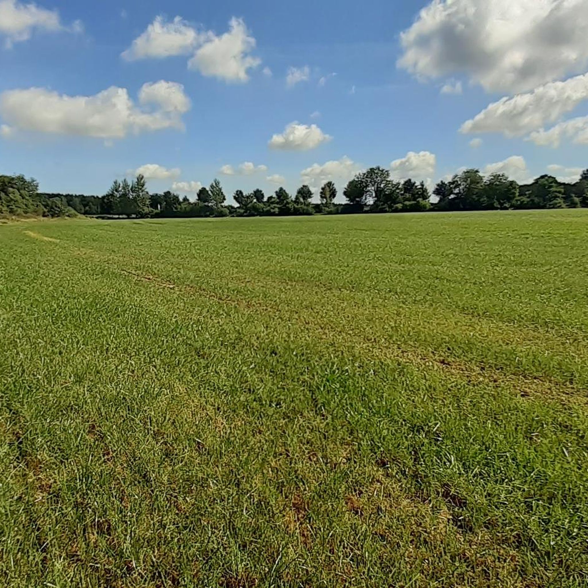
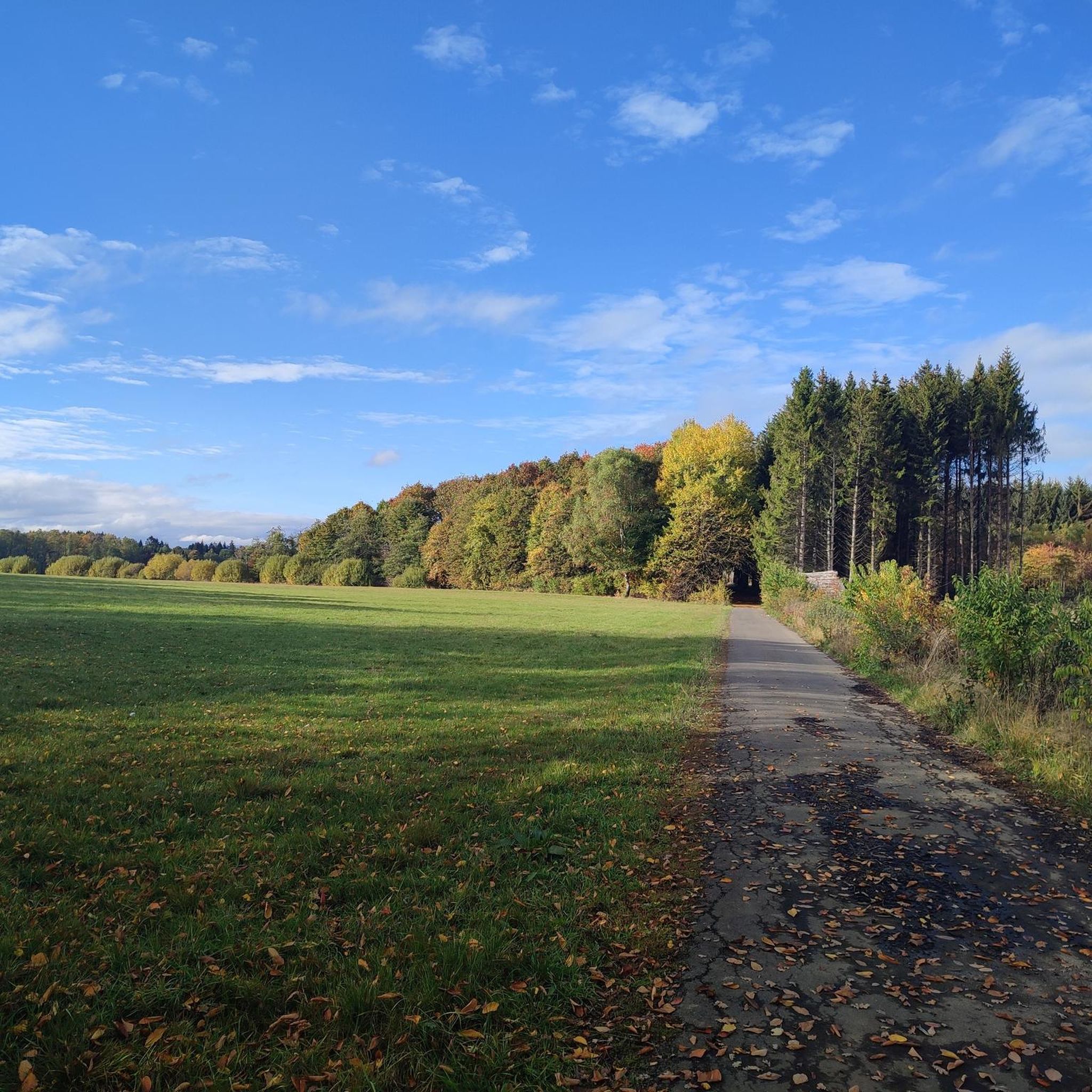
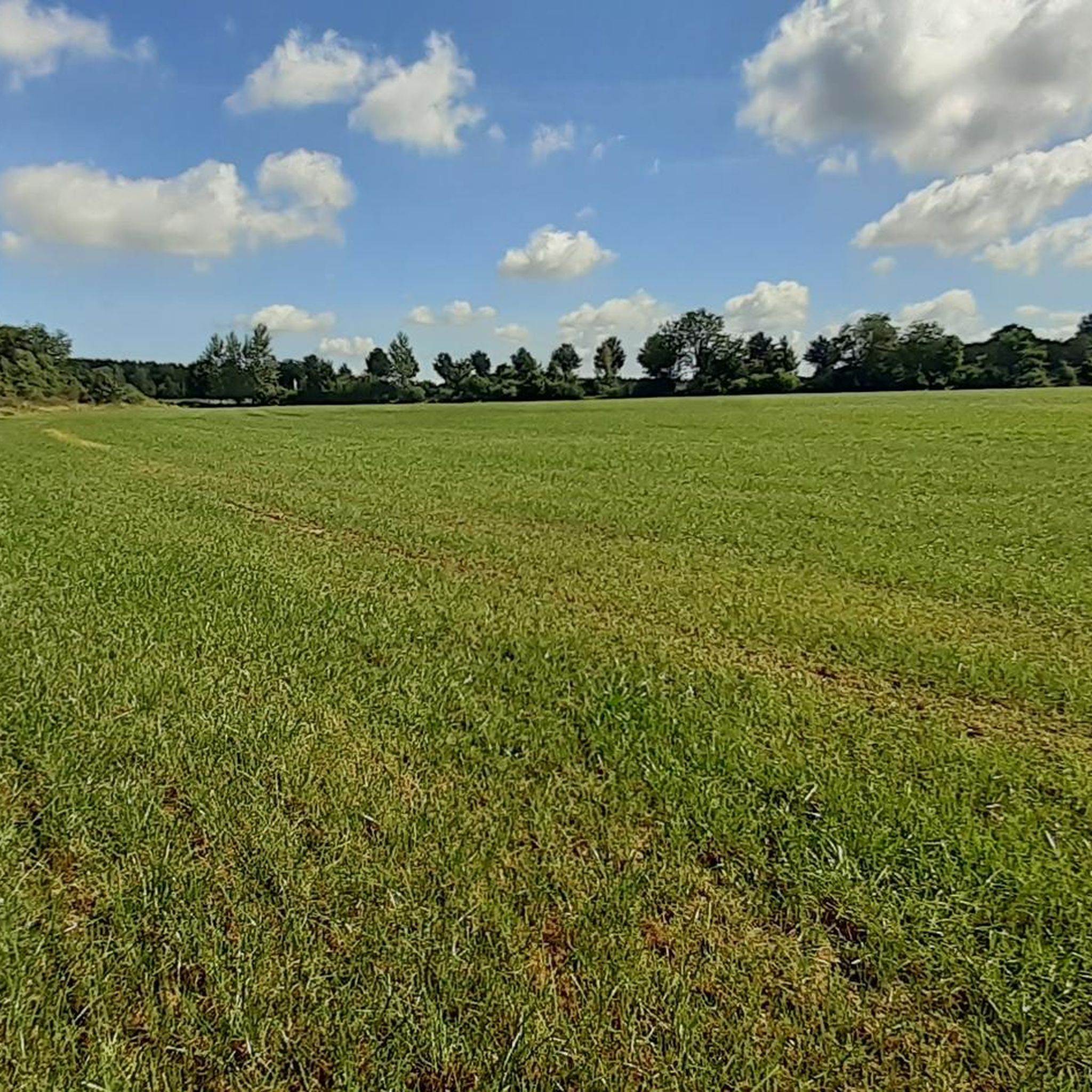
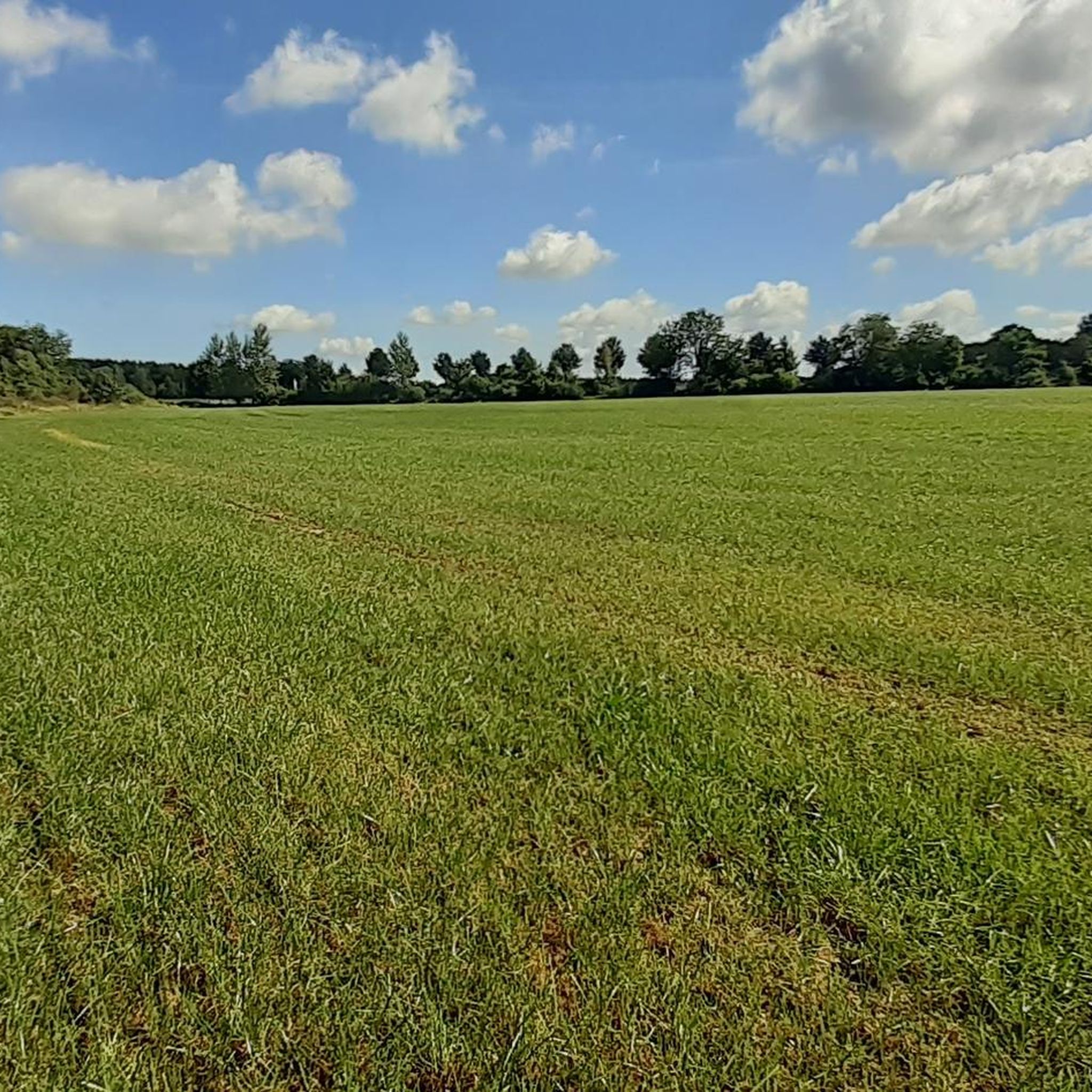
Tips from the Community

A must-do hike; if the weather is good, hikers will be treated to beautiful views stretching from the Westerwald to the Großer Feldberg in the Taunus.
0
0

Not only the transmission tower, but also the wide view is simply fun.
1
0

Great place for a little break
3
0

View from the "lounger?" at Stegskopf next to the transmission tower.
2
0

Here it goes up quite steeply again and the castle is not waiting for you. But the view is worthwhile.
0
0


Wonderful up here
1
0

This path is easy to walk and I was excited about the view and was not disappointed.
1
0
Frequently Asked Questions
What are the most prominent mountain peaks in the wider Westerwald region around Ailertchen?
The Westerwald region, which encompasses Ailertchen, features several notable elevated points. Key peaks include the Salzburger Kopf transmission tower, the Fuchskaute (the highest elevation in the Westerwald), and the Köppel, which is known for its observation tower.
Which peaks offer the best views around Ailertchen?
For expansive views, the Helleberg Observation Tower stands at 490 meters above sea level, offering a fantastic panoramic view of the entire Westerwald Lake District. The Salzburger Kopf transmission tower also provides wide-ranging views, and the Köppel is highly recommended for its indescribable views from the top on clear days.
Are there any unique man-made monuments or features on the peaks near Ailertchen?
Yes, the Salzburger Kopf transmission tower is a prominent man-made monument and the third-highest elevation in the Westerwald. Additionally, you can find the Summit cross on Blasiussteig, which includes a weather-protected summit book for visitors.
What kind of natural features can I expect to see on the peaks around Ailertchen?
The peaks in the Westerwald region, such as the Beilstein Basalt Summit with Gazebo, often feature basalt formations typical of the area. Many peaks are forested, offering natural trails and scenic landscapes.
What do visitors enjoy most about the mountain peaks in the Ailertchen area?
Visitors appreciate the extensive views from locations like the Helleberg Observation Tower and the Salzburger Kopf transmission tower. The well-maintained trails, such as the Blasiussteig, and the unique natural features like the basalt peaks are also highly valued by the komoot community.
Are there family-friendly options for exploring the peaks near Ailertchen?
Yes, the Helleberg Observation Tower is considered family-friendly, offering an accessible way to enjoy panoramic views. Many trails in the broader Westerwald region are suitable for families, though specific difficulty levels vary.
Are there dog-friendly trails around the mountain peaks near Ailertchen?
Yes, some trails, such as the Trail to Burgberg, are noted as dog-friendly. It's always advisable to keep dogs on a leash, especially in nature reserves or near wildlife.
What hiking opportunities are available near the peaks around Ailertchen?
The region offers numerous hiking opportunities. You can find various trails, including moderate routes like the Westerburg Nature Reserve – Lothar-Bleser Trail loop, or easier options such as the Gnarled Tree in Westerwald – Dreisbacher Bildstock loop. For more details, explore the Hiking around Ailertchen guide.
Can I go running or cycling near the mountain peaks of Ailertchen?
Absolutely. The area provides diverse options for outdoor activities. For running, you can find routes like the 'Friendly Dogs in Westerwald – View of Markushof loop'. Cyclists can enjoy road cycling routes such as the 'Schloss Hachenburg – View of Haidenweiher loop'. More information is available in the Running Trails around Ailertchen and Road Cycling Routes around Ailertchen guides.
Are permits required for hiking in the Westerwald region?
Generally, permits are not required for hiking on public trails in the Westerwald region. However, always respect local regulations, especially in designated nature reserves, and stay on marked paths.
What is the highest point in the Westerwald region?
The highest elevation in the Westerwald is the Fuchskaute, standing at 657 meters (2,156 ft) above sea level. While its absolute highest point is often hidden in the forest, a cross marks a prominent outdoor spot.
Is the Köppel peak suitable for mountain biking?
Yes, the Köppel is particularly appealing for mountain bikers. After reaching the summit and enjoying the views from its observation tower, a pleasant descent awaits.
Most popular routes around Ailertchen
Most popular attractions around Ailertchen

Get inspired with the komoot mobile app


Explore more
See even more amazing summits around Ailertchen with these guides:
