The best walks and hikes around Cilybebyll
4.4
(345)
2,447
hikers
107
hikes
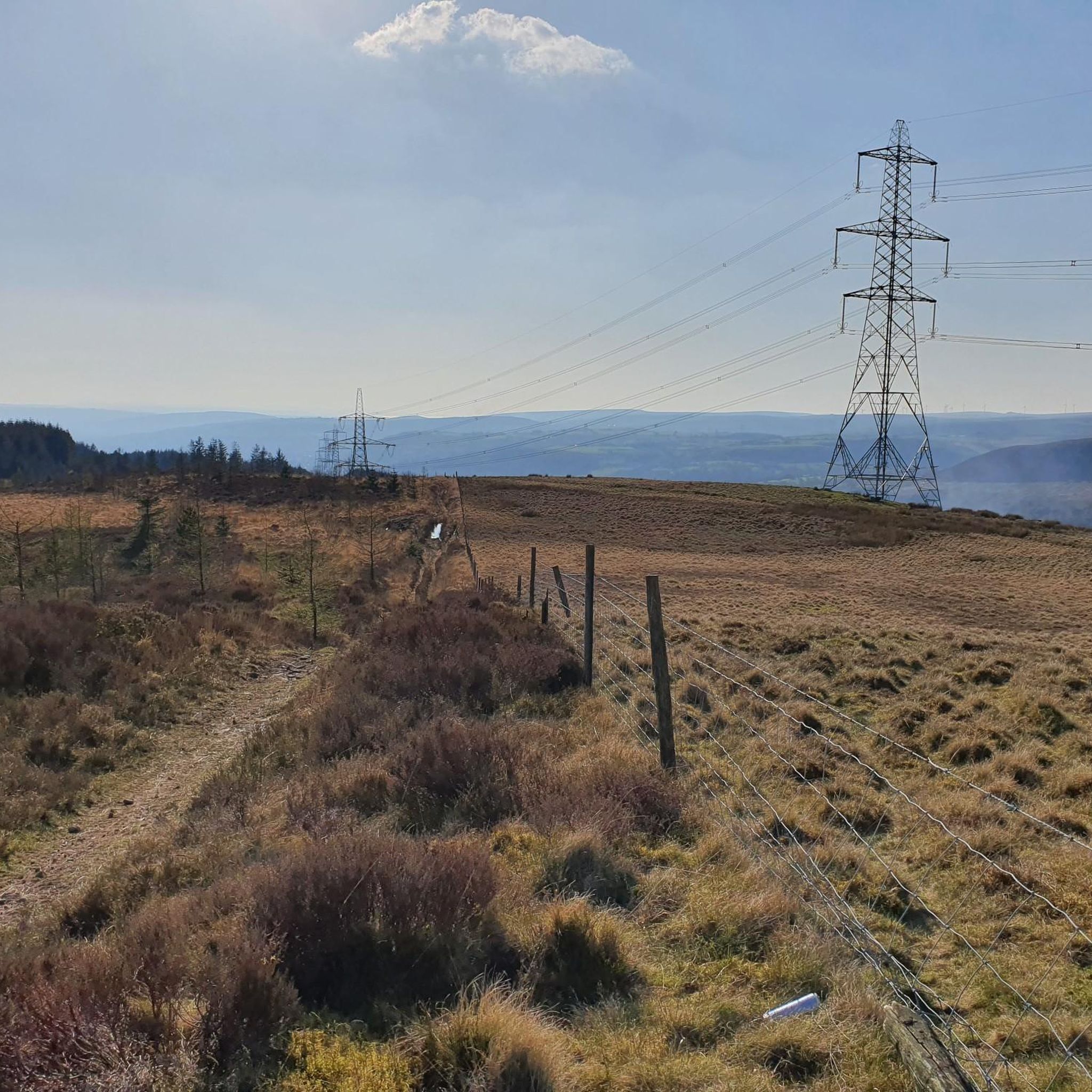
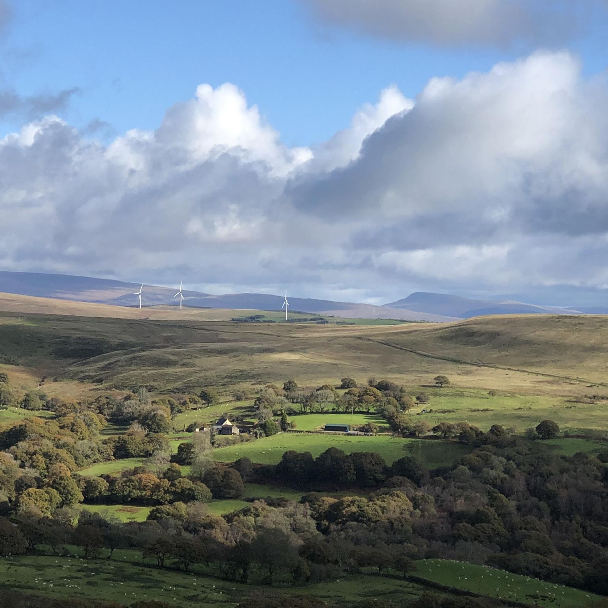
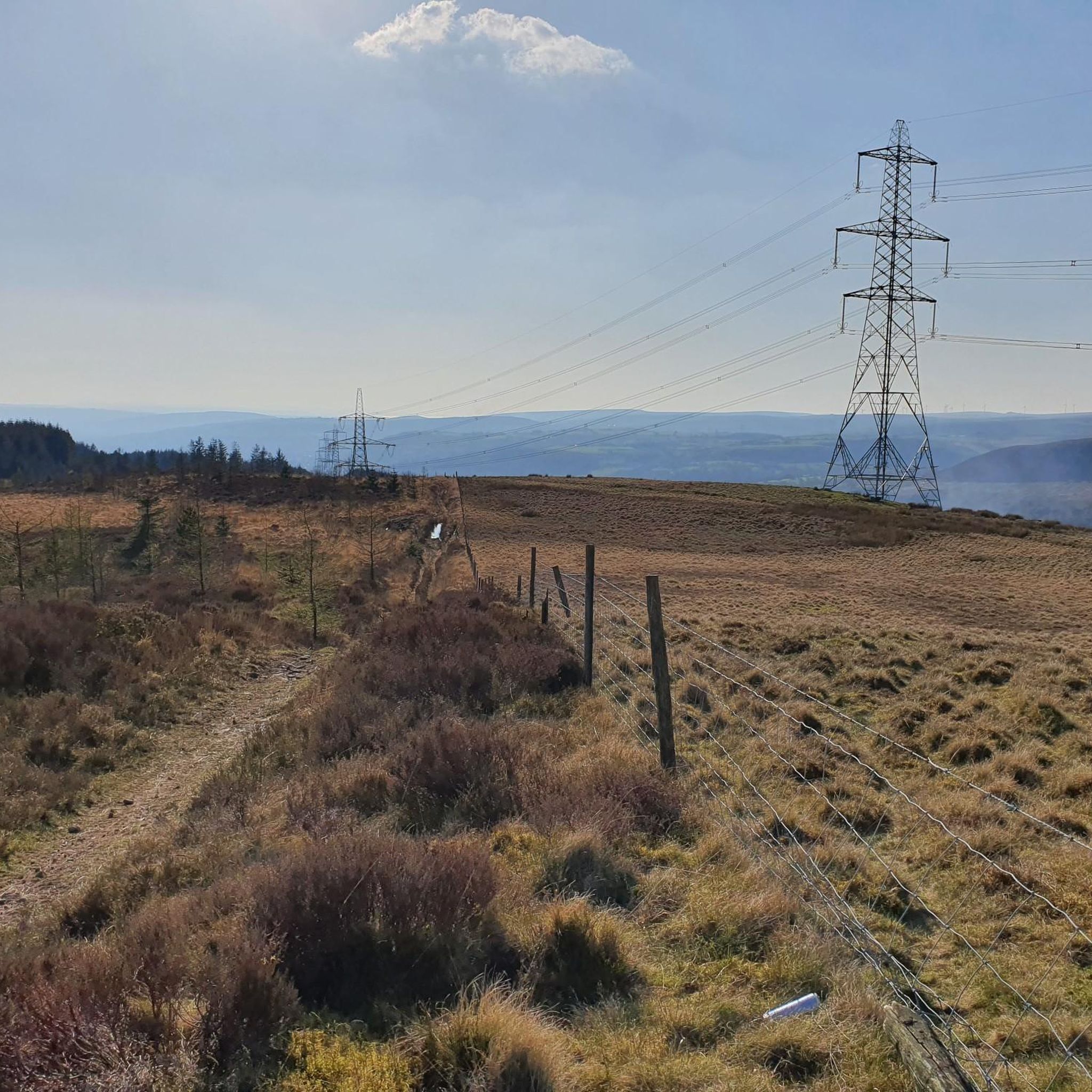
Hiking around Cilybebyll offers diverse landscapes, including woodlands, rivers, and hills, with views of the Swansea Valley. The area features natural elements such as the River Clydach and Mynydd Marchywel, a sandstone ridge providing elevated perspectives. Gorges in the region are often heavily wooded and support varied plant life. This blend of features creates varied terrain for outdoor activities.
Best hiking trails around Cilybebyll
- The most popular hiking route is Stone Arch Bridge – River Tawe loop from Pontardawe,…
Last updated: October 8, 2026
5.0
(4)
21
hikers
9.29km
02:24
50m
50m
Moderate hike. Good fitness required. Easily-accessible paths. Suitable for all skill levels.
5.0
(4)
18
hikers
7.55km
02:01
80m
80m
Moderate hike. Good fitness required. Easily-accessible paths. Suitable for all skill levels.

5.0
(1)
15
hikers
10.9km
02:51
80m
80m
Moderate hike. Good fitness required. Easily-accessible paths. Suitable for all skill levels.
4.0
(1)
13
hikers
Easy hike. Great for any fitness level. Easily-accessible paths. Suitable for all skill levels.
5.0
(1)
5
hikers
11.2km
02:55
70m
70m
Moderate hike. Good fitness required. Easily-accessible paths. Suitable for all skill levels.
Get access to more routes and recommendations from other explorers.
Already have an account?
Our route recommendations are based on thousands of hikes, rides, and runs completed by other people on komoot.
Start today with a free account
Your next adventure awaits.


Tips from the Community

be aware that after very heavy rain this area under bridge can sometimes get flooded. usually ok, but felt it wise to mention.
0
0

Low bridge - probably best to lower your saddle - or even better - walk your bike under this bridge
0
0

The towpath that runs along the Swansea Canal is a gorgeous leafy stretch that makes for great access to the city from the north avoiding the roads and traffic. You can either walk or cycle on the towpath, which occasionally switches over the river on a series of narrow bridges. Do take care if you're on a bike as there's often runners, walkers, children and dogs also using the shared path.
0
0

Here's a very low bridge along the canal, especially when on a bike. Situated along the Swansea Canal towpath (National Cycle Route 43), just before Coed Gwilym park, you might want to take it easy and sound your bell if you want to stay on!
4
0
Frequently Asked Questions
How many hiking trails are available around Cilybebyll?
There are over 100 hiking trails around Cilybebyll, offering a wide range of options for different skill levels. You'll find 48 easy routes, 54 moderate routes, and 9 more challenging trails.
Are there any easy or short walking routes suitable for beginners or families?
Yes, Cilybebyll offers many easy and short walking routes. Nearly half of the trails are rated as easy. For a pleasant, accessible option, consider the Old Canal Lock and Bridges – Swansea Canal Nature Reserve loop from Pontardawe, which is an easy 3.9-mile (6.3 km) walk. The Swansea Canal Towpath also provides generally flat and accessible sections.
What kind of views can I expect on hikes in Cilybebyll?
Hiking in Cilybebyll offers diverse and scenic views. You can expect panoramic vistas of the Swansea Valley, the distant Brecon Beacons, and the dramatic Mynydd Marchywel ridge. Many trails also lead through heavily wooded gorges, alongside the crystal-clear River Clydach, and past open meadows. For specific viewpoints, consider routes that ascend towards Cilybebyll or explore the peaks nearby, such as Cribarth Summit (The Sleeping Giant) or View from Kilvey Hill across Swansea and Swansea Bay.
Are there any circular walks in the Cilybebyll area?
Yes, many of the trails around Cilybebyll are circular, allowing you to start and end at the same point. A notable circular route is the Stone Arch Bridge – River Tawe loop from Pontardawe, a moderate 5.8-mile (9.3 km) trail. Another option is the Forest Stream – Forest Cycle Path loop from Cilybebyll, which takes you through woodlands and alongside a stream.
What are some interesting natural attractions or landmarks to see while hiking?
Cilybebyll is rich in natural beauty and historical landmarks. You can visit Afan Forest Park Visitor Centre, known for its trails and facilities. Nearby, you'll find Henrhyd Falls, the highest waterfall in South Wales, where you can even walk behind the cascade. The area also features ancient churches like the Parish church of Cilybebyll and St. John the Evangelist, along with remnants of old tramways reflecting the region's industrial heritage.
Can I find any waterfalls on the hiking trails near Cilybebyll?
Absolutely. Cilybebyll is conveniently located near "Waterfall Country," which boasts Britain's largest collection of publicly accessible waterfalls. The most prominent is Henrhyd Falls, the highest in South Wales, where you can experience walking behind the water. While not directly on every Cilybebyll trail, it's a significant nearby attraction for hikers.
What do other hikers say about the trails in Cilybebyll?
The hiking trails in Cilybebyll are highly regarded by the komoot community, with an average rating of 4.4 stars from over 270 reviews. Hikers often praise the diverse landscapes, from quiet woodlands and river paths to scenic viewpoints, and the variety of routes suitable for different fitness levels.
Are there any dog-friendly hiking options in Cilybebyll?
Many trails in Cilybebyll are suitable for dogs, especially those through woodlands and along river paths. The region's natural environment, with its extensive forests and open spaces, provides ample opportunities for walks with your canine companion. Always ensure dogs are kept under control, especially near livestock or in protected wildlife areas.
When is the best time of year to go hiking in Cilybebyll?
Cilybebyll offers enjoyable hiking throughout the year. Spring is particularly beautiful, with woodland floors often carpeted in bluebells and early foxgloves. Autumn brings vibrant colours to the extensive woodlands. Summer provides longer daylight hours for more extensive hikes, while winter walks can offer a peaceful, crisp experience, though some paths might be muddy or slippery.
Are there places to eat or drink near the hiking routes?
Yes, the region around Cilybebyll, including nearby Pontardawe, offers various pubs and eateries. "Waterfall Country," a short distance away, is also known for having pubs along its walking routes, providing convenient spots for refreshments after your hike.
What are the typical durations and difficulty levels of hikes in Cilybebyll?
Hikes in Cilybebyll vary significantly. You can find easy strolls lasting an hour or two, such as the Old Canal Lock and Bridges – Swansea Canal Nature Reserve loop (about 1 hour 38 minutes). Moderate routes, like the Swansea Canal Towpath loop from Pontardawe, can take around 2 hours 55 minutes. More challenging routes can extend beyond five hours with significant elevation gains, catering to experienced hikers.
Most popular attractions around Cilybebyll

Get inspired with the komoot mobile app


Explore more
Browse the best Hikes in other regions.
