The best walks and hikes around Sandfields East
4.4
(172)
2,339
hikers
107
hikes
Hiking around Sandfields East offers a diverse landscape, characterized by its coastal proximity and accessible hills. The region features flat, sandy beaches and promenades along the coastline, providing easy walking opportunities. Inland, the terrain rises to include hills such as Mynydd Dinas and Foel Fynyddau, offering more challenging routes with greater elevation gain. This mix of coastal and upland environments provides varied hiking experiences.
Best hiking trails around Sandfields East
- The most popular hiking route is Aberavon Beach loop from Baglan Moors, a 4.4 miles (7.2 km) trail that takes 1 hour 49 minutes to complete. This easy route follows the flat coastal path.
- Another top favourite among local hikers is Aberavon Beach Promenade – Aberavon Beach loop from Aberavon, an easy 4.2 miles (6.8 km) path. This route offers views along the promenade and beach.
- Local hikers also love the Mynydd Dinas Trig Point – Foel Fynyddau Summit loop from Port Talbot Parkway, an 11.1 miles (17.8 km) trail leading through hilly terrain, often completed in about 5 hours 19 minutes.
- Hiking around Sandfields East is defined by coastal paths, sandy beaches, and accessible hills. The network offers options for different ability levels, from easy strolls to more difficult ascents.
- The routes in Sandfields East are highly rated by the komoot community with an average score of 4.4 stars from over 150 reviews. More than 2,300 hikers have used komoot to explore Sandfields East's varied terrain.
Last updated: October 8, 2026
50
hikers
6.66km
01:42
20m
20m
Easy hike. Great for any fitness level. Easily-accessible paths. Suitable for all skill levels.
4.5
(2)
27
hikers
6.81km
01:44
20m
20m
Easy hike. Great for any fitness level. Easily-accessible paths. Suitable for all skill levels.

5.0
(1)
7
hikers
Hard hike. Very good fitness required. Easily-accessible paths. Suitable for all skill levels.
9
hikers
9.61km
02:27
30m
30m
Moderate hike. Good fitness required. Easily-accessible paths. Suitable for all skill levels.
5.0
(2)
7
hikers
6.60km
02:03
250m
250m
Moderate hike. Good fitness required. Easily-accessible paths. Suitable for all skill levels.
Get access to more routes and recommendations from other explorers.
Already have an account?
Our route recommendations are based on thousands of hikes, rides, and runs completed by other people on komoot.
Start today with a free account
Your next adventure awaits.
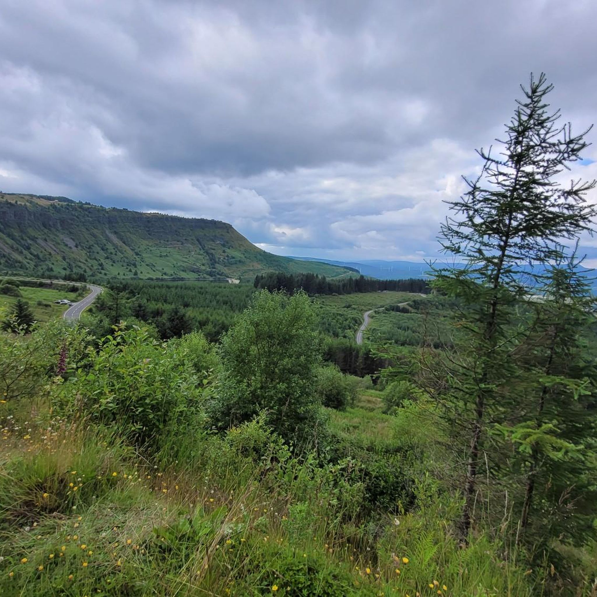
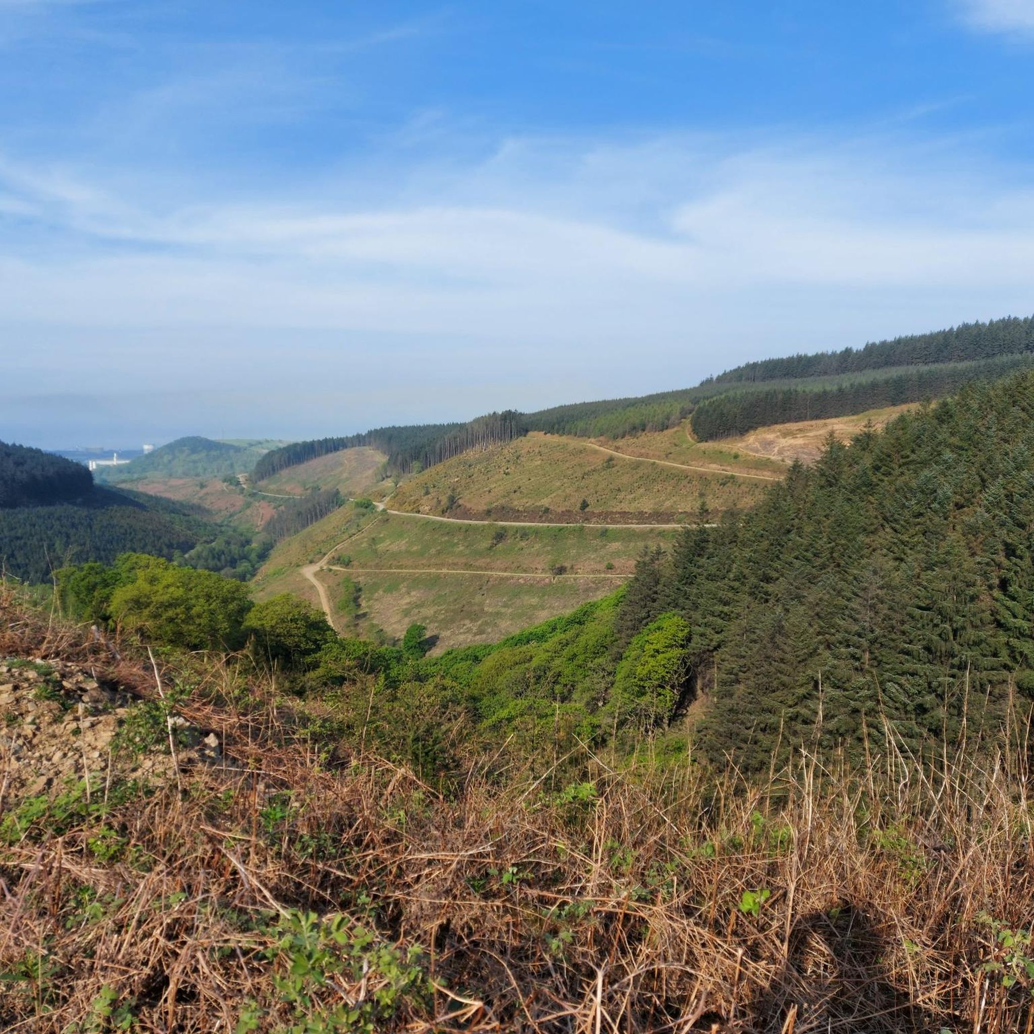
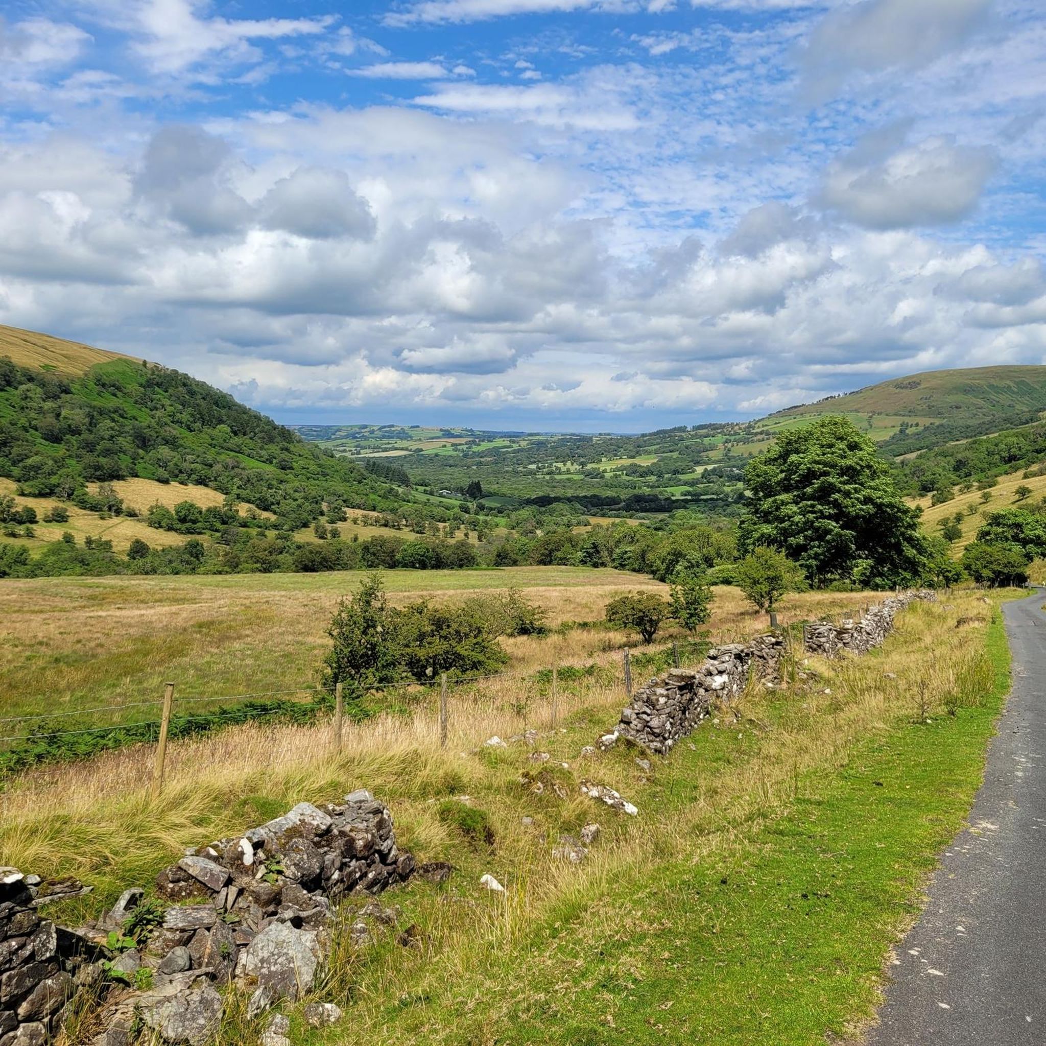
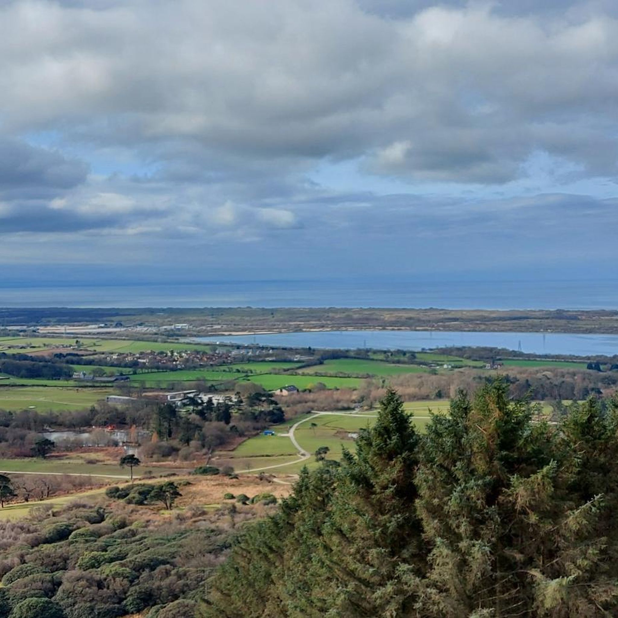

Tips from the Community

Food is great but a little on the pricey side, although it was probably the best bacon roll I've ever eaten so......
1
0
Incredible views all year round. Nice safe walking and riding path along the promenade which is great for runners, cyclists and families.
1
0


Fantastic Cafe, ideal stop-off for Mountain-bikers, cyclists, hikers and runners. Open weekends only
0
0


Here lies a huge unexpected sandy beach between the industrial edges of Swansea and Port Talbot. Known as Aberavon Sands, it's one of the longest beaches in Wales. You can cycle on the long promenade and and enjoy a vibrant atmosphere.
1
0

surfing weather, crosswind makes for interesting steering!
0
0
Frequently Asked Questions
How many hiking trails are available in Sandfields East?
Sandfields East offers a wide variety of hiking experiences with over 100 routes documented on komoot. These range from easy coastal strolls to more challenging hill climbs, catering to all fitness levels.
Are there easy hiking trails suitable for beginners or casual walkers in Sandfields East?
Yes, Sandfields East has plenty of easy options, with over 40 routes classified as easy. A great choice is the Aberavon Beach Promenade – Aberavon Beach loop from Aberavon, which offers a flat, accessible path with scenic coastal views.
What kind of terrain can I expect on hikes in Sandfields East?
The region is characterized by a diverse landscape. You'll find flat, sandy beaches and promenades along the coastline, perfect for easy walks. Inland, the terrain rises to include hills like Mynydd Dinas and Foel Fynyddau, offering more challenging routes with significant elevation gain.
Are there any challenging or advanced hiking routes in Sandfields East?
For experienced hikers seeking a challenge, Sandfields East offers 10 difficult routes. One notable option is the Mynydd Dinas Trig Point – Foel Fynyddau Summit loop from Port Talbot Parkway, an 11.1-mile trail leading through hilly terrain with considerable elevation changes.
Are there any circular walks in Sandfields East?
Many of the trails in Sandfields East are designed as circular routes, allowing you to start and end at the same point. For example, the Aberavon Beach – Aberavon Beach Promenade loop from Port Talbot provides a moderate circular walk along the coast.
What are some interesting landmarks or attractions I can see near the hiking trails?
Near the hiking trails, you can explore various points of interest. Consider visiting Margam Castle for its historical significance, or the tranquil Brombil Reservoir. The area also features natural sites like Kenfig Pool.
Is Sandfields East a good place for family-friendly hikes?
Yes, the coastal paths and promenades, particularly around Aberavon Beach, are ideal for families. These routes are generally flat and offer easy walking, making them suitable for children and those looking for a gentle stroll.
What do other hikers enjoy most about hiking in Sandfields East?
The area is highly rated by the komoot community, with an average score of 4.4 stars from over 150 reviews. Hikers often praise the diverse landscape, offering both accessible coastal walks and more challenging hill routes, as well as the scenic views.
Are there any specific viewpoints or scenic spots along the trails?
Many trails offer excellent viewpoints, especially those ascending the local hills. The Mynydd Dinas Trig Point, for instance, provides panoramic views of the surrounding landscape and coastline. Coastal walks along Aberavon Beach also offer expansive sea views.
Is it possible to hike in Sandfields East during winter?
Hiking is possible in winter, but conditions can vary. Coastal paths may be exposed to wind and rain, while higher ground can be colder. Always check local weather forecasts and trail conditions, and wear appropriate waterproof and warm clothing.
Are there any cafes or places to get refreshments near the hiking routes?
Along the Aberavon Beach promenade, you'll find various cafes and eateries where you can stop for refreshments. For routes further inland, it's advisable to carry your own snacks and drinks, as options may be limited.
Where can I find parking for hiking trails in Sandfields East?
Parking is generally available at popular starting points, especially along the Aberavon coastline. For inland routes, look for designated car parks near trailheads or consider public transport options to access the starting points.
Are there any trails that are particularly long in Sandfields East?
While many routes are shorter, there are longer options for those looking for extended hikes. The Mynydd Dinas Trig Point – Foel Fynyddau Summit loop from Port Talbot Parkway, at 11.1 miles (17.8 km), is one of the longer and more demanding trails in the area.
Most popular attractions around Sandfields East

Get inspired with the komoot mobile app


Explore more
Browse the best Hikes in other regions.
