The best walks and hikes around Grossaffoltern
4.5
(1098)
6,473
hikers
476
hikes
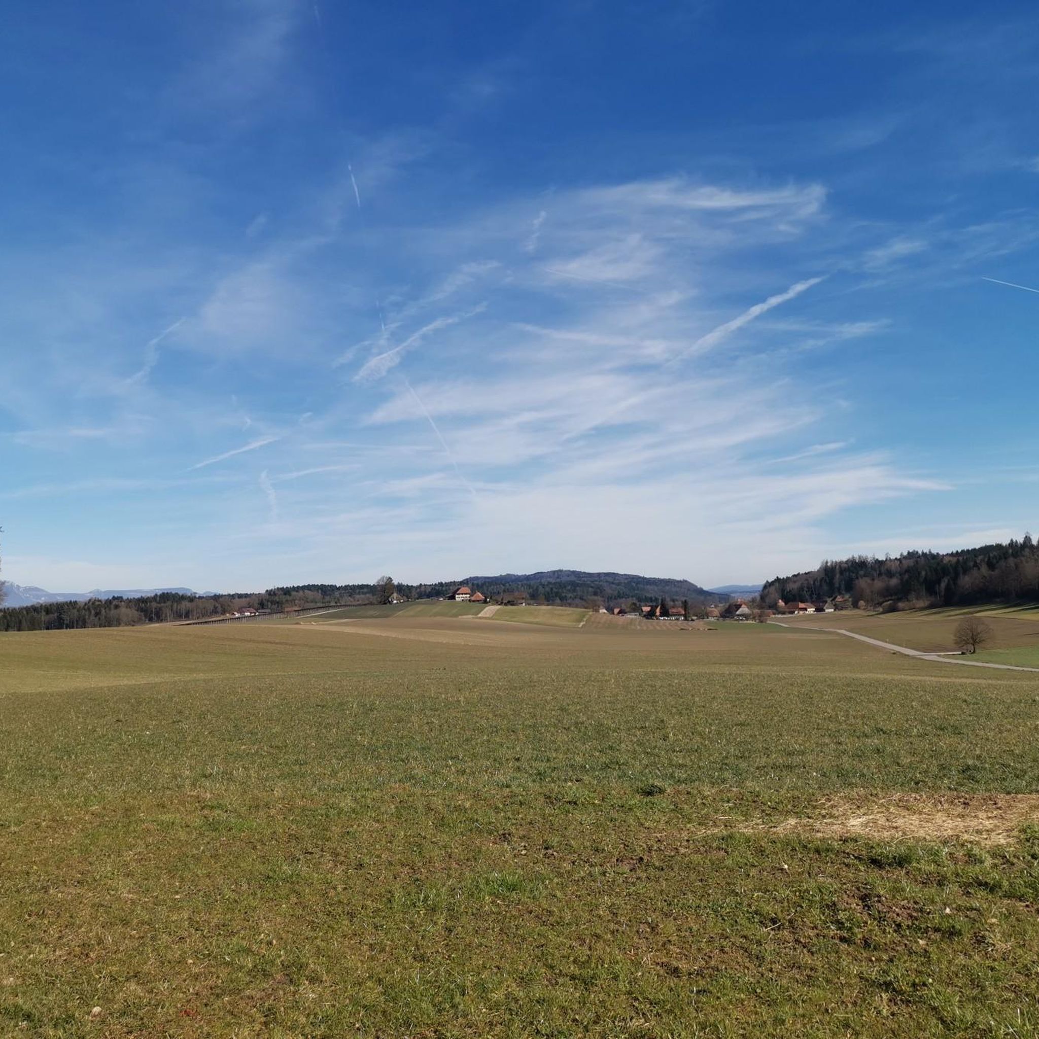
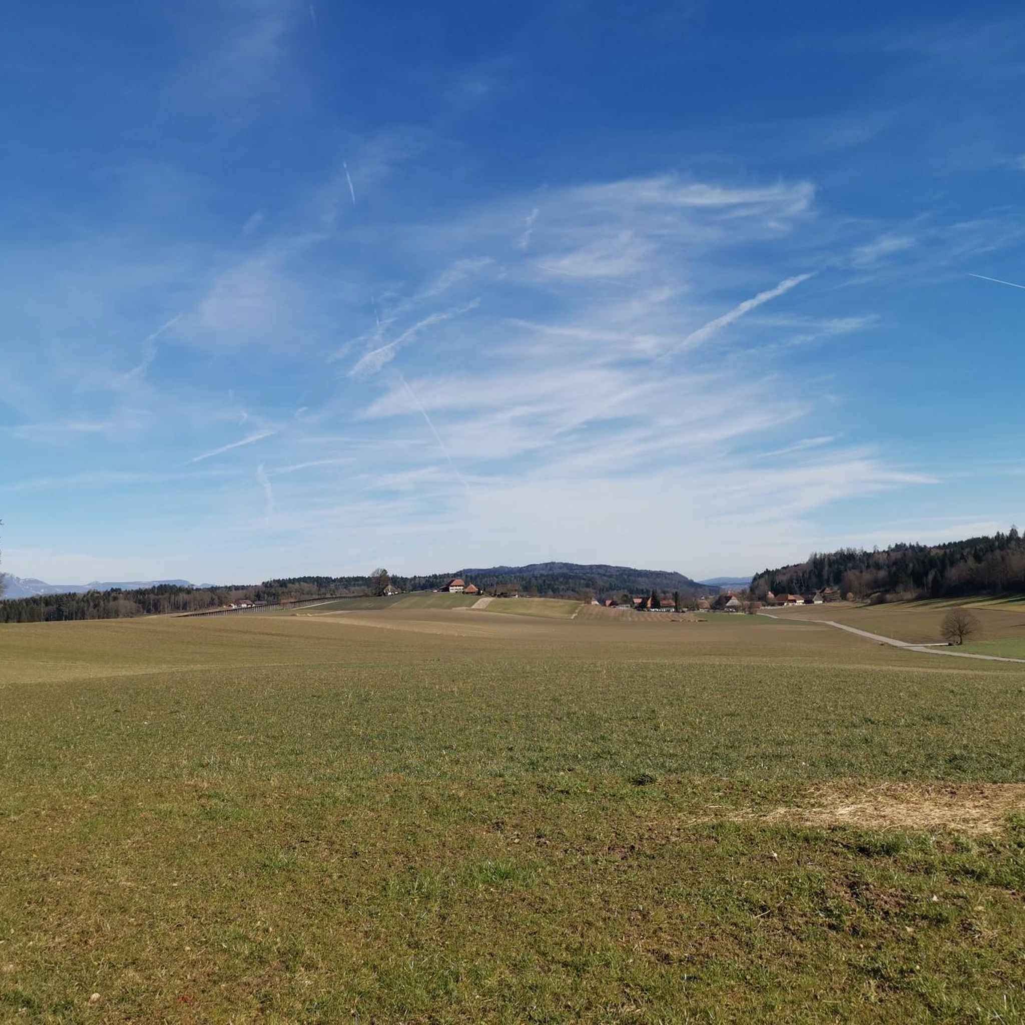
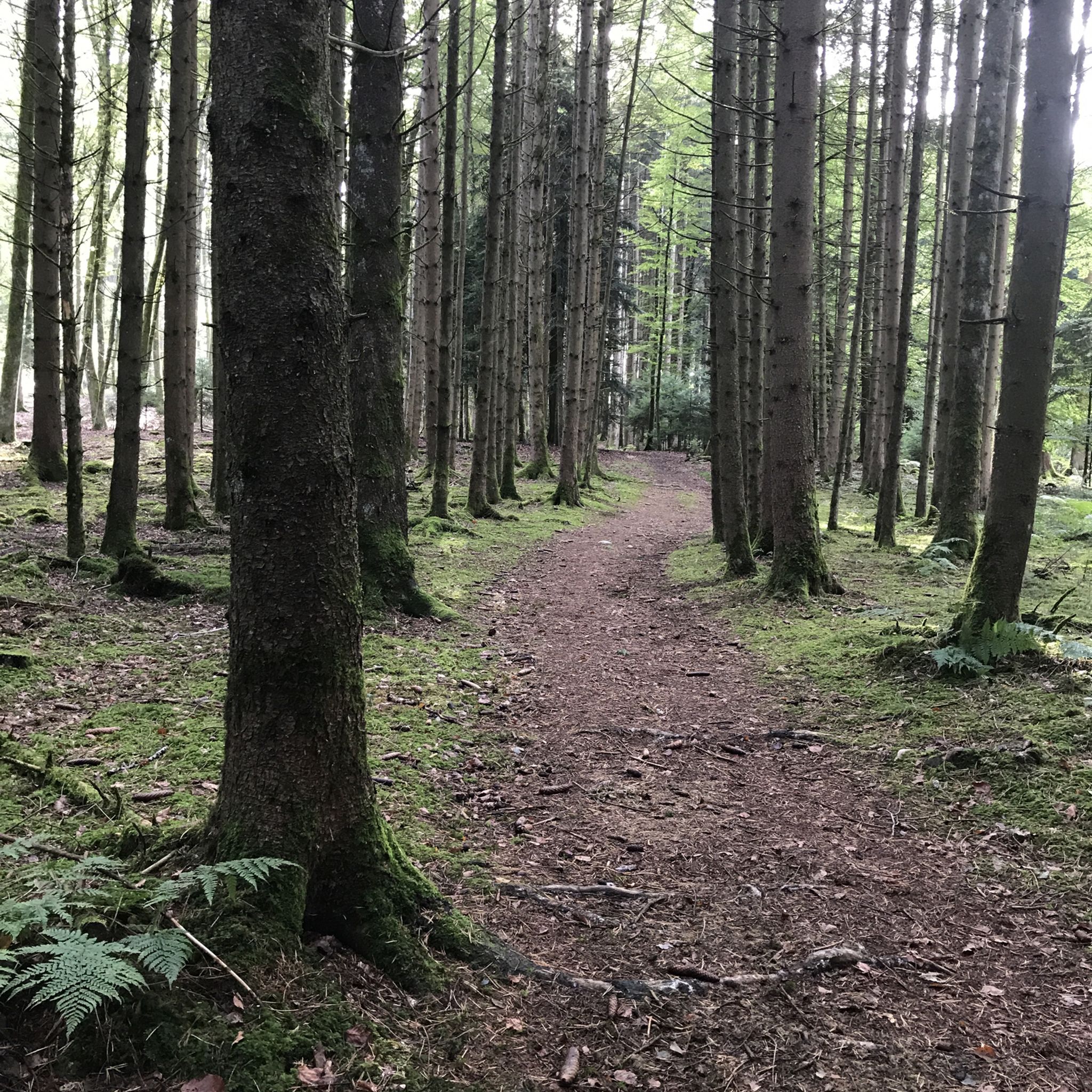
Hiking around Grossaffoltern offers diverse experiences within a tranquil rural municipality in the canton of Bern, Switzerland. The region is characterized by extensive agricultural land, dense forests, and the varied topography of the Rapperswil Plateau and Lyssbach valley. Hikers can explore three designated nature reserves and paths alongside flowing water, providing a serene environment for outdoor activities.
Best hiking trails around Grossaffoltern
- The most popular hiking route is Waldhaus Lyss – Schürmatt Pond loop from Lyss, a 5.3 miles (8.6 km) moderate trail that takes 2 hours 20 minutes to complete, offering varied scenery around a pond.
- Another top favourite among local hikers is Wadenbeisser Steps – Waldhaus Lyss loop from Lyss, an easy 3.2 miles (5.2 km) path. This route features a mix of wooded sections and open areas near Lyss.
- Local hikers also love the Alte Aare Nature Reserve – Fenchneren-Seeli loop from Lyss, a 4.4 miles (7.1 km) trail leading through a nature reserve, often completed in about 1 hour 48 minutes.
- Hiking around Grossaffoltern is defined by its extensive agricultural land, dense forests, and designated nature reserves. The network offers options for easy, moderate, and more challenging routes, catering to various ability levels.
- The routes in Grossaffoltern are highly rated by the komoot community with an average score of 4.5 stars from over 900 reviews. More than 6,000 hikers have used komoot to explore Grossaffoltern's varied terrain.
Last updated: October 13, 2026
4.4
(5)
52
hikers
8.57km
02:21
130m
130m
Moderate hike. Good fitness required. Easily-accessible paths. Suitable for all skill levels.
5.0
(1)
14
hikers
5.22km
01:24
70m
70m
Easy hike. Great for any fitness level. Easily-accessible paths. Suitable for all skill levels.

10
hikers
5.58km
01:27
30m
30m
Easy hike. Great for any fitness level. Easily-accessible paths. Suitable for all skill levels.
4.5
(2)
7
hikers
15.8km
04:24
300m
300m
Moderate hike. Good fitness required. Easily-accessible paths. Suitable for all skill levels.
5.0
(1)
6
hikers
15.3km
04:05
160m
160m
Moderate hike. Good fitness required. Easily-accessible paths. Suitable for all skill levels.
Get access to more routes and recommendations from other explorers.
Already have an account?
Our route recommendations are based on thousands of hikes, rides, and runs completed by other people on komoot.
Start today with a free account
Your next adventure awaits.

Tips from the Community

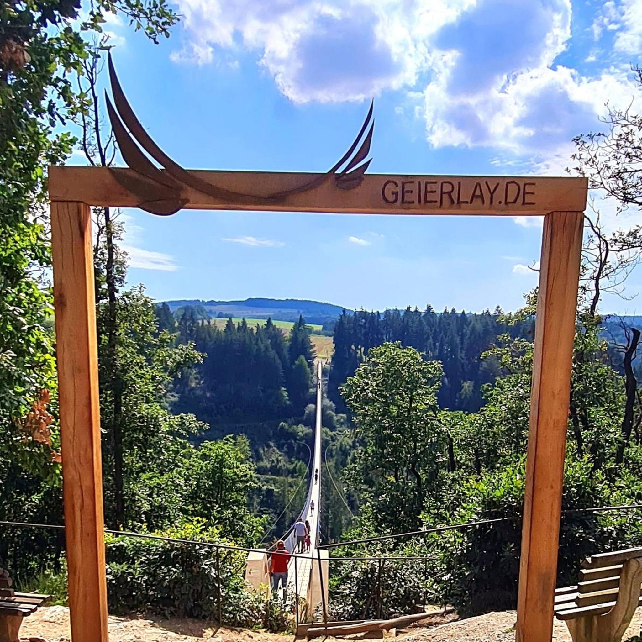
Small viewing platform.
0
0

From Frienisberg via this short trail to the Chutzenturm, then continue northwest to the Lobsiger sandstone caves.
0
0

From Aarberg along the canal to Hagneck (lock) and then along the lake towards Biel….
1
0


The historic old town has a wooden bridge 👌
2
0
Beautiful little town, you can relax here 👍👍💯🤪
2
0

The actual "midwife" of the Aare town was a simple bridge. This was the decisive factor in its foundation. In 1138, where Aarberg stands today, there was the Bargenbrügg monastery, which served as a resting place and inn for pilgrims. At this important Aare crossing, where two traffic routes crossed (for centuries the only river crossing between Bern and Büren an der Aare), Count Ulrich IV of Neuenburg built a stone castle to collect the bridge toll.
2
0
Picturesque facades and a historic town centre around a well-kept town square with specialty shops and restaurants create a unique urban space of high quality.
1
0
Frequently Asked Questions
How many hiking trails are available around Grossaffoltern?
There are over 500 hiking trails available around Grossaffoltern, offering a wide range of options for different skill levels and preferences. More than 300 of these are rated as easy.
Are there easy hiking trails suitable for beginners in Grossaffoltern?
Yes, Grossaffoltern offers over 300 easy hiking trails. Many routes feature gentle slopes, valley paths, and wooded sections without significant inclines, making them ideal for beginners. An example is the Wadenbeisser Steps – Waldhaus Lyss loop from Lyss, which is 3.2 miles (5.2 km) long and easy.
What kind of natural landscapes can I expect to see while hiking in Grossaffoltern?
Grossaffoltern's landscape is characterized by extensive agricultural land, dense forests, and the varied topography of the Rapperswil Plateau and Lyssbach valley. You'll find serene environments with expansive fields, woodlands, and three designated nature reserves. The presence of flowing water, including proximity to the Aare River, adds to the scenic beauty and offers opportunities to observe diverse ecosystems.
Are there any family-friendly hiking options in Grossaffoltern?
Yes, many of the easy trails are suitable for families. The region's gentle terrain and varied scenery, including forests and nature reserves, provide engaging experiences for all ages. The 'Grossa-Parcours' is a 3 km route with 15 varied stations, perfect for combining hiking with fun activities for the whole family.
Can I bring my dog on the hiking trails in Grossaffoltern?
Grossaffoltern is generally dog-friendly, with many trails passing through natural landscapes like forests and fields. It's always recommended to keep dogs on a leash, especially in nature reserves or agricultural areas, and to check specific trail regulations before you go.
Are there any circular walks available around Grossaffoltern?
Yes, many routes in Grossaffoltern are designed as circular walks, allowing you to start and end at the same point. For instance, the Waldhaus Lyss – Schürmatt Pond loop from Lyss is a moderate 5.3-mile (8.6 km) circular trail offering varied scenery.
What are some interesting landmarks or attractions to see near the hiking trails?
While hiking, you can explore several points of interest. The Dotzigen Little Castle is near some routes, and you might also encounter the Covered Wooden Bridge of Büren an der Aare. The region also features several lakes, such as Wohlensee and Lobsigesee, which offer additional scenic beauty.
What do other hikers enjoy the most about hiking in Grossaffoltern?
The komoot community highly rates hiking in Grossaffoltern, with an average score of 4.5 stars from over 900 reviews. Hikers often praise the tranquil rural setting, the diverse landscapes of forests and fields, and the well-maintained paths that make it an ideal recreational area.
Is there public transport access to the hiking areas in Grossaffoltern?
Grossaffoltern is a well-connected municipality within the canton of Bern. Public transport options, including bus services, typically serve the main villages and can provide access points to various hiking trails. It's advisable to check local transport schedules for specific starting points.
Are there any longer, more challenging hikes available?
While Grossaffoltern is known for its many easy and moderate trails, there are also options for longer hikes. For example, the Chutzenhütte – Chutzen Tower loop from Schüpfen is a moderate 10-mile (16.2 km) route with over 300 meters of elevation gain, offering a more extended experience.
What is the best time of year to go hiking in Grossaffoltern?
Grossaffoltern is suitable for hiking throughout much of the year. Spring brings blooming fields, summer offers lush green forests, and autumn provides beautiful fall colors. The region's relatively gentle terrain also makes it accessible for walks during milder winter days, though conditions can vary.
Are there any nature reserves I can explore while hiking?
Yes, Grossaffoltern is home to three designated nature reserves, providing opportunities for tranquil walks amidst protected environments. The Alte Aare Nature Reserve – Fenchneren-Seeli loop from Lyss is a 4.4-mile (7.1 km) trail that takes you directly through one of these beautiful areas.
Most popular routes around Grossaffoltern
Most popular attractions around Grossaffoltern

Get inspired with the komoot mobile app


Explore more
Browse the best Hikes in other regions.
