The best MTB trails around Großenaspe
4.6
(297)
697
riders
218
rides
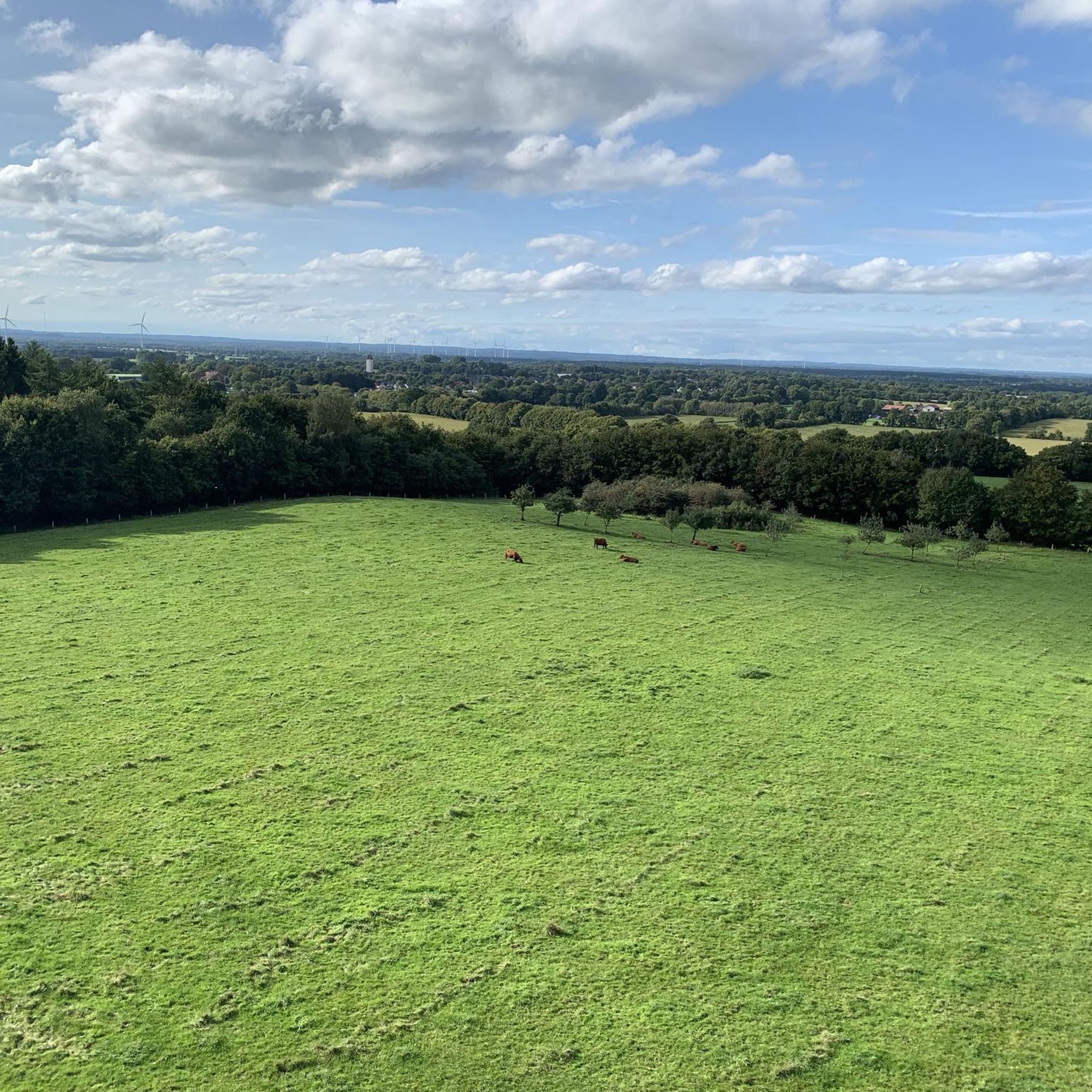
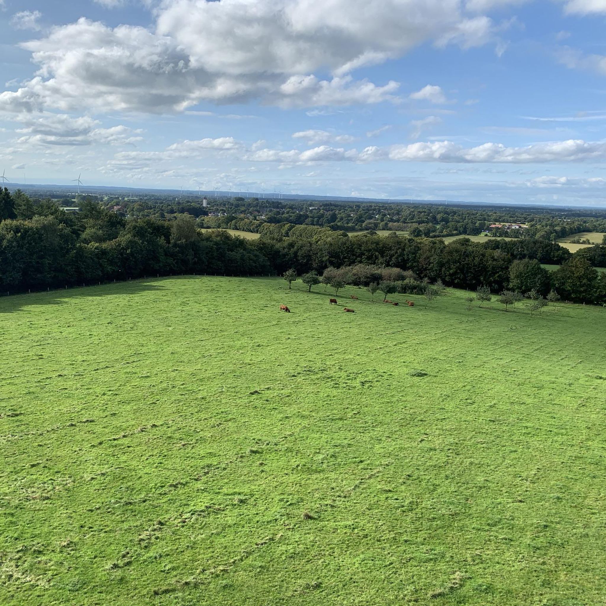
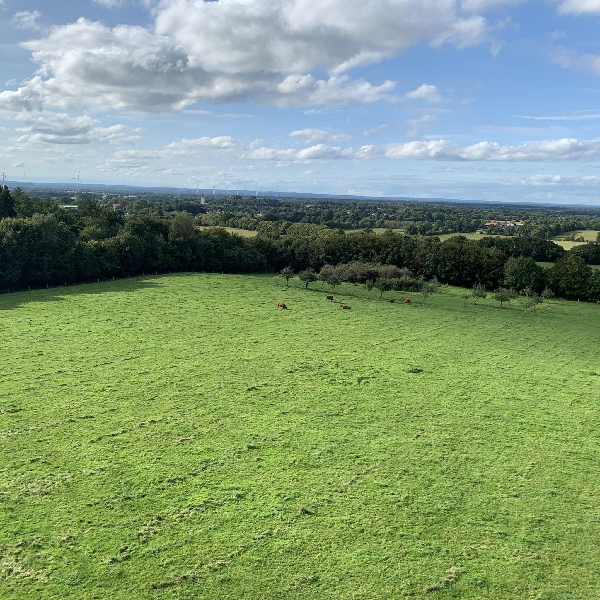
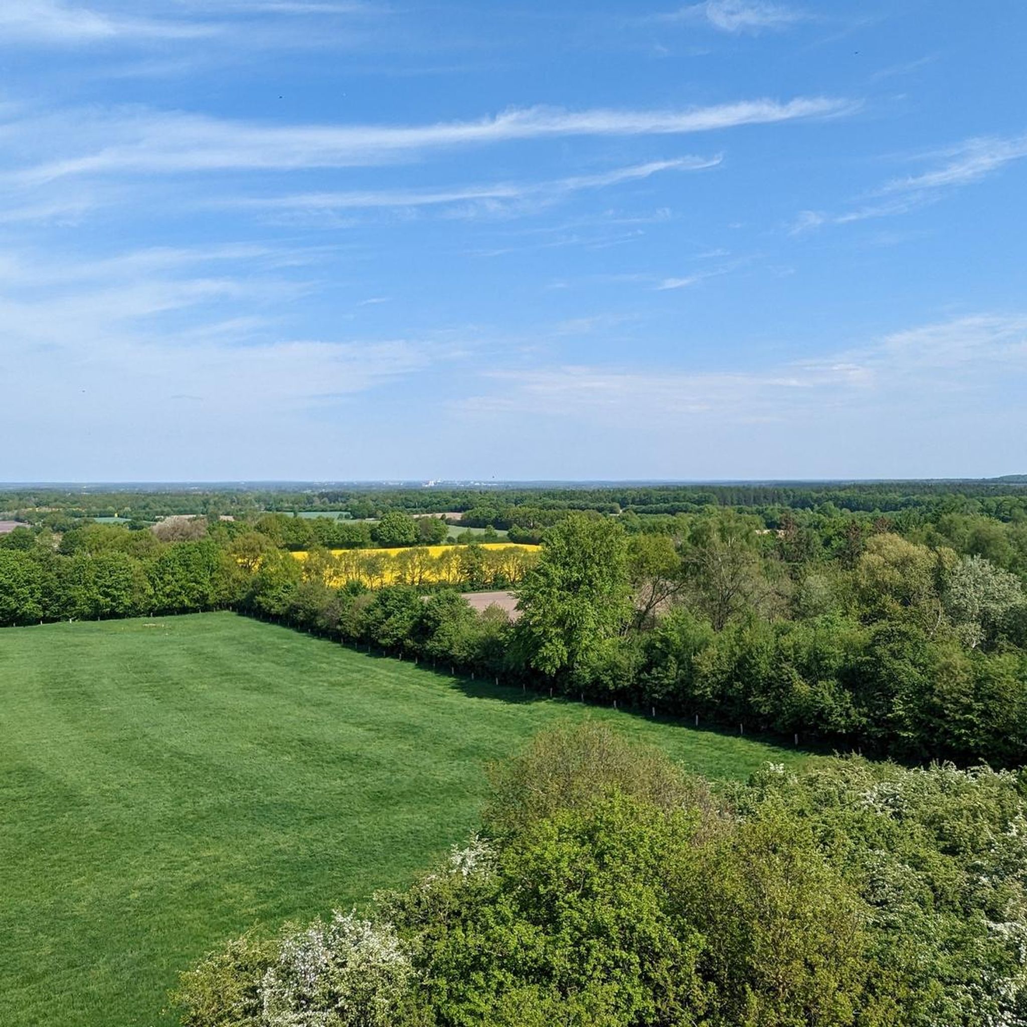
Mountain biking around Großenaspe offers diverse natural landscapes, characterized by abundant forests, fields, moorlands, and streams. The region features varied terrain, including heathland and sparse deciduous forests, providing a range of natural trails. Notable features include the 73-meter Ketelvierth hill with its observation tower, offering panoramic views over the Holsteiner Auenland. The area's mix of environments creates a varied backdrop for mountain biking.
Best mountain bike trails around Großenaspe
- The most popular mountain bike trail is Ketelvierth Observation Tower –…
Last updated: July 10, 2026
5.0
(1)
7
riders
Easy mountain bike ride. Great for any fitness level. Suitable for all skill levels.
4.0
(1)
4
riders
Moderate mountain bike ride. Good fitness required. Suitable for all skill levels.

Sign up for free
5.0
(1)
6
riders
Easy mountain bike ride. Great for any fitness level. Suitable for all skill levels.
5.0
(1)
7
riders
26.3km
02:01
140m
140m
Moderate mountain bike ride. Good fitness required. Suitable for all skill levels.
6
riders
32.6km
02:25
150m
150m
Moderate mountain bike ride. Good fitness required. Suitable for all skill levels.
Get access to more routes and recommendations from other explorers.
Sign up for free
Already have an account?
Our route recommendations are based on thousands of hikes, rides, and runs completed by other people on komoot.
Start today with a free account
Your next adventure awaits.
Login or Signup

Tips from the Community

Unfortunately only open on weekends from 13:30. https://www.landcafe-mühlenholz.de/
0
0

🦌 What is Eekholt Wildlife Park? • The park is located in Großenaspe near Bad Bramstedt and was founded in 1970. • Over 700 animals live in natural enclosures on approximately 67 hectares – including wolves, otters, eagle owls, wild cats, deer, birds of prey, and lots of wild boars with cute piglets. • The focus is on native species and environmental education – more like a forest than a safari, but with a truly clear conscience.
1
0
Eekholt Wildlife Park is a true natural highlight in the heart of Schleswig-Holstein – charming, educational, and surprisingly lively. You won't find elephants here, but you'll find wolves, wild boars, and plenty of "local stars" who would otherwise be seen in the forest rather than in the spotlight.
1
0
Here in Großenaspe, the Osterau becomes particularly picturesque: clear banks, wooden bridges, birdsong – the perfect place for photos, a picnic or a break in nature.
1
0
The Osterau is a tributary of the Stör and originates south of Bad Bramstedt. It winds its way for about 25 km through meadows, fields, and small forests—a true northern German natural idyll.
1
0

Beautiful spot on the Osterau. A narrow bridge takes you across the river. Pure idyll all around. You can also read all about the flora and fauna on the Osterau on information boards.
1
0


There are delicious cakes and pies here. You can sit inside or outside. It is well attended on holidays and Sundays.
0
0
Frequently Asked Questions
How many mountain bike trails are available around Großenaspe?
There are over 230 mountain bike trails around Großenaspe, offering a wide variety of options for different skill levels and preferences. You can find routes ranging from easy loops to more challenging paths through diverse landscapes.
What kind of terrain can I expect on mountain bike trails in Großenaspe?
The region around Großenaspe offers diverse natural landscapes, including abundant forests, fields, moorlands, and streams. You'll encounter varied terrain such as heathland, moors, and sparse deciduous forests, providing a mix of natural trails.
Are there mountain bike trails suitable for beginners in Großenaspe?
Yes, Großenaspe has many easy mountain bike trails perfect for beginners. Over 90 routes are classified as easy. For example, the Ketelvierth Observation Tower – Bridge over the Osterau loop from Heidmühlen is an easy 15.2-mile trail that explores the area around the Osterau river.
Are there challenging mountain bike trails for experienced riders in Großenaspe?
While most trails are easy to moderate, there are 13 difficult routes for experienced riders seeking more technical challenges. Additionally, the nearby Freeride Park North e.V. offers purpose-built trails with features like doubles, drops, and steep turns for advanced mountain bikers.
What natural sights can I see while mountain biking in Großenaspe?
You can enjoy diverse natural features such as forests, fields, moors, streams, and ponds. A notable highlight is the 12-meter-high Ketelvierth Observation Tower, offering panoramic views over the Holsteiner Auenland. You might also encounter areas like the Wittenborn Heath Nature Reserve or the serene Krattkoppelsee.
Are there any specific viewpoints along the mountain bike trails?
Yes, the Ketelvierth Observation Tower is a prominent viewpoint situated on a 73-meter hill. It provides extensive panoramic views over the Holsteiner Auenland. Several routes, such as the Mühlenholz Country Café – Ketelvierth Observation Tower loop from Großenaspe, pass by this tower.
Are there family-friendly mountain bike trails in Großenaspe?
Großenaspe offers many easy and moderate trails that are suitable for families. The varied natural landscapes, with abundant forests and fields, provide a pleasant backdrop for family outings. Look for routes marked as 'easy' for the most family-friendly options.
Can I bring my dog on the mountain bike trails in Großenaspe?
Many trails in Großenaspe's natural environment are suitable for mountain biking with dogs, especially those through forests and fields. However, it's always advisable to keep your dog on a leash and be mindful of other trail users and local wildlife. Check specific trail regulations if available.
Are there circular mountain bike routes in Großenaspe?
Yes, many mountain bike routes in Großenaspe are designed as circular loops. This allows you to start and end your ride at the same point. Examples include the Gesundbrunnen Bad Bramstedt – Old Forest Bath loop from Großenaspe, which is a 26.0-mile circular trail.
What do other mountain bikers say about the trails in Großenaspe?
The mountain bike trails in Großenaspe are highly rated by the komoot community, with an average score of 4.6 stars from over 270 reviews. Users often praise the varied natural trails, the scenic views, and the options available for different ability levels.
Where can I park my car when visiting the mountain bike trails in Großenaspe?
Parking is generally available at various trailheads and points of interest around Großenaspe. Look for designated parking areas near popular starting points or attractions like the Ketelvierth Observation Tower. Specific parking information can often be found on individual route pages.
Is it possible to reach the mountain bike trails in Großenaspe by public transport?
Großenaspe is integrated into a broader network, and while direct public transport access to every trailhead might vary, it is generally possible to reach the region by public transport. From there, you might need to cycle a short distance to reach specific trail starting points. Check local bus or train schedules for the best options.
Most popular routes around Großenaspe
Most popular attractions around Großenaspe

Get inspired with the komoot mobile app


Explore more
Browse the best MTB trails in other regions.
