The best walks and hikes around Großerlach
4.6
(14797)
55,191
hikers
90
hikes
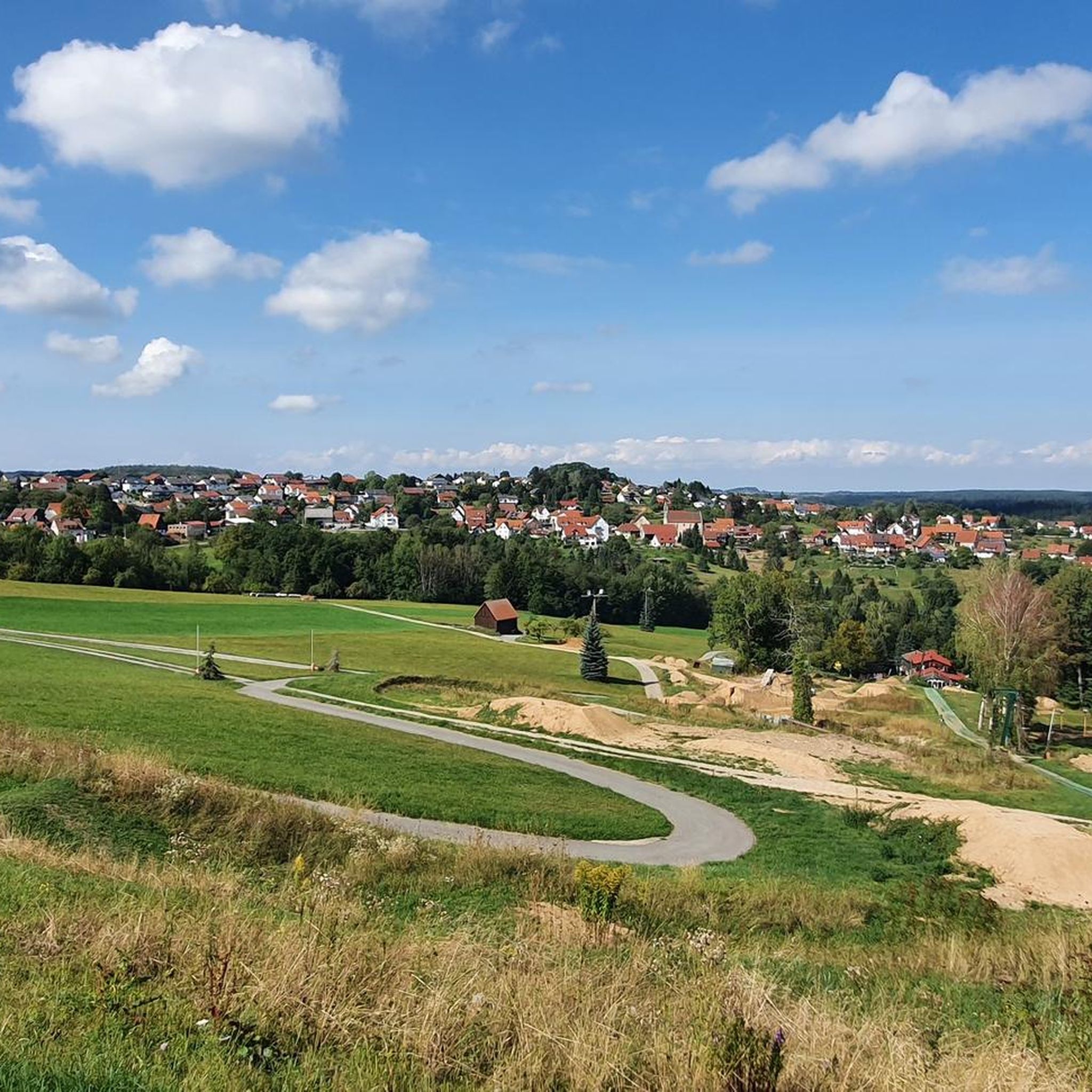
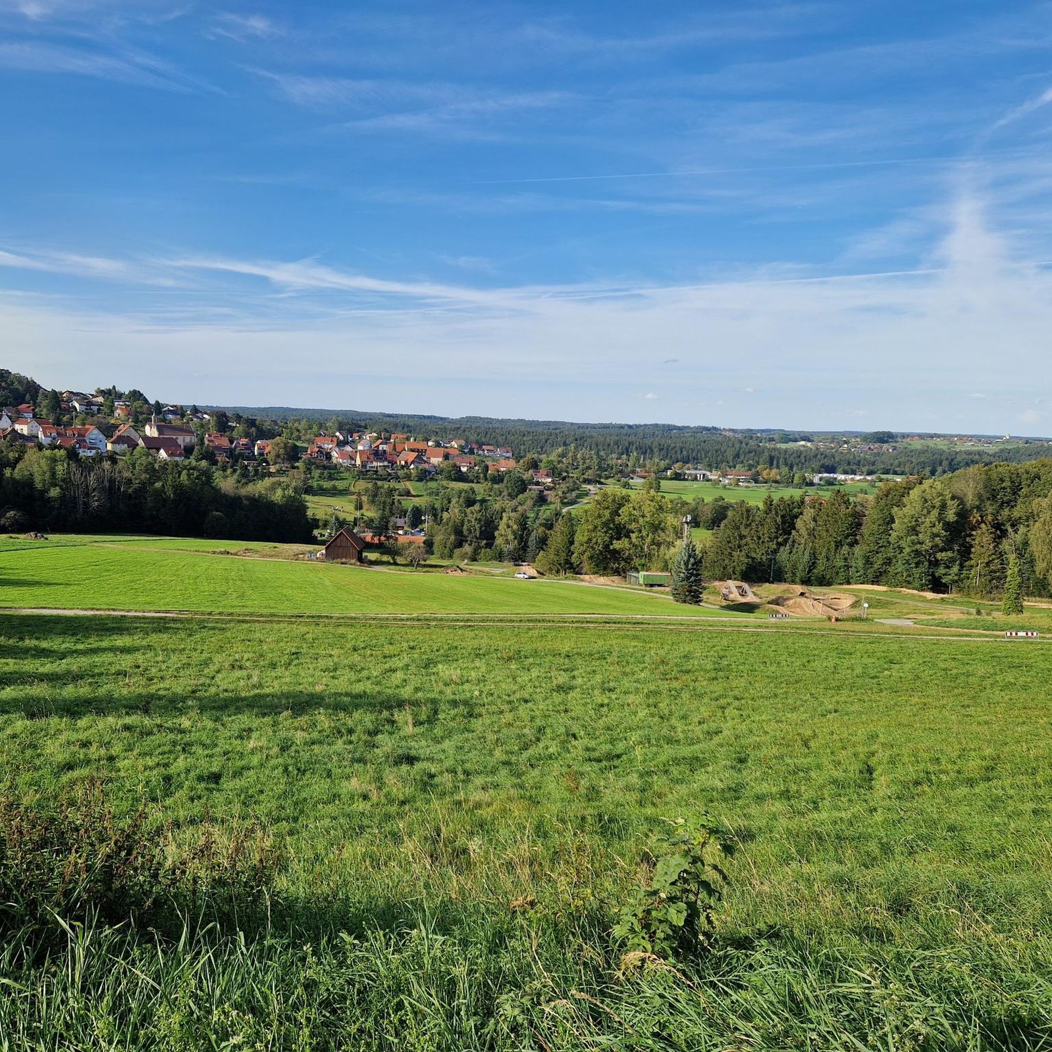
Hiking around Großerlach offers diverse landscapes within the Schwäbische Wald, characterized by a low mountain range with elevations between 500 and 586 meters. The region features heavily divided valleys, dense forests, and numerous water features including gorges and waterfalls. This terrain provides varied conditions for exploration, from gentle paths to more challenging routes.
Best hiking trails around Großerlach
- The most popular hiking route is Weir on the Rot – Path Along the Rot Valley loop from Grab, a 7.0…
Last updated: July 8, 2026
4.7
(41)
173
hikers
11.4km
03:08
180m
180m
Moderate hike. Good fitness required. Easily-accessible paths. Suitable for all skill levels.
4.6
(47)
171
hikers
16.1km
04:37
380m
390m
Moderate hike. Good fitness required. Mostly accessible paths. Sure-footedness required.

Sign up for free
4.7
(19)
55
hikers
11.3km
03:03
140m
140m
Moderate hike. Good fitness required. Easily-accessible paths. Suitable for all skill levels.
4.6
(11)
32
hikers
6.92km
01:57
150m
140m
Easy hike. Great for any fitness level. Easily-accessible paths. Suitable for all skill levels.
4.8
(33)
103
hikers
13.2km
03:46
280m
280m
Hard hike. Good fitness required. Sure-footedness, sturdy shoes and alpine experience required.
Get access to more routes and recommendations from other explorers.
Sign up for free
Already have an account?
Our route recommendations are based on thousands of hikes, rides, and runs completed by other people on komoot.
Start today with a free account
Your next adventure awaits.
Login or Signup
Popular around Großerlach


Tips from the Community

Wonderful valley and great trail through the mostly shady Rottal
0
0

Very nice forest and meadow experience
0
0
Very original and in almost untouched nature.
0
0
The weir is right next to the Rösersmühle mill. It's interesting to see how the view changes throughout the year.
0
0

Very interesting
0
0
Frequently Asked Questions
How many hiking trails are there in Großerlach?
Großerlach offers a wide selection of routes, with over 80 hiking trails available for exploration. These range from easy strolls to more challenging ascents, catering to various fitness levels.
What kind of terrain can I expect on hikes around Großerlach?
The landscape around Großerlach is characterized by its diverse terrain within the Schwäbische Wald. You'll find heavily divided valleys, dense forests, and grassland-dominated heights. Some paths can be muddy and rocky, especially near gorges, while others offer gentler forest paths.
Are there any waterfalls or gorges to explore in Großerlach?
Yes, Großerlach is known for its picturesque water features. You can discover the beautiful Front Hörschbach Waterfall and explore the dramatic Hörschbach Gorge or the Hüttlenwald Gorge, which features rope-secured paths and distinctive sandstone structures.
Are there any family-friendly hiking routes in Großerlach?
Yes, Großerlach offers trails suitable for families. The Fuxi trail, for instance, is specifically designed for children, featuring information and learning boards about the forest. Many of the easier routes are also suitable for families looking for a pleasant outdoor experience.
Can I bring my dog on the hiking trails in Großerlach?
Most hiking trails in Großerlach are dog-friendly, allowing you to enjoy the natural beauty with your canine companion. However, it's always recommended to keep dogs on a leash, especially in nature reserves or areas with wildlife, and to be mindful of other hikers.
Are there any circular hiking routes available?
Yes, many of the trails in Großerlach are circular, offering convenient starting and ending points. An example is the Weir on the Rot – Path Along the Rot Valley loop from Grab, which takes you through scenic landscapes and returns to your starting point.
What historical landmarks can I see while hiking in Großerlach?
Großerlach is rich in Roman history, featuring remnants of the Upper German Limes. You can hike along the Limes Nature Trail, which includes a replica of a Roman watchtower and well-preserved ramparts and moats. The Trauzenbach Trail – Limes Watchtower on Heidenbuckel loop from Hohe Brach is a great option to explore these historical sites.
What is the best time of year to go hiking in Großerlach?
Großerlach is enjoyable for hiking throughout much of the year. Spring and autumn offer pleasant temperatures and beautiful scenery with blooming flowers or vibrant fall foliage. Summer is also popular, though some trails might be busier. Winter hiking is possible, but be prepared for potentially muddy or icy conditions, especially in gorges.
Are there places to stop for refreshments or a meal along the trails?
Yes, some routes in Großerlach offer opportunities for refreshments. For example, the Mönchsberg Beer Garden – Entrance to Olga Gorge loop from Großerlach passes by a beer garden. Additionally, the region has a 'waterfall restaurant' near the Front Hörschbach Waterfall, providing a convenient stop.
What do other hikers enjoy most about hiking in Großerlach?
The hiking trails in Großerlach are highly rated by the komoot community, with an average score of 4.7 stars. Reviewers often praise the diverse landscapes, the well-marked paths, and the combination of natural beauty with historical Roman Limes features. The variety of routes, from easy to difficult, is also frequently highlighted.
Are there any easy hiking trails suitable for beginners?
Yes, Großerlach offers several easy trails perfect for beginners or those looking for a relaxed walk. An example is the Ruins of Hankert Mill – View of Hohe Brach loop from Grab, which is a shorter route with manageable elevation changes, ideal for a leisurely outing.
How long do hikes in Großerlach typically take?
Hike durations in Großerlach vary significantly depending on the route's length and difficulty. Shorter, easy trails might take around 2-3 hours, while moderate routes like the Weir on the Rot – Path Along the Rot Valley loop from Grab typically take about 3 hours. Longer or more challenging hikes can extend to 4-5 hours or more.
Most popular routes around Großerlach
Most popular attractions around Großerlach

Get inspired with the komoot mobile app


Explore more
Browse the best Hikes in other regions.
