The best walks and hikes around Großobringen
4.6
(2692)
13,919
hikers
754
hikes
Hiking around Großobringen features a landscape characterized by gentle rolling hills, dense woodlands, and historic parklands. The region offers a network of trails that often lead past cultural landmarks such as palaces and castles. Elevation changes are generally moderate, making the area accessible for various hiking abilities. Paths frequently traverse forested areas and open fields, with some routes incorporating water features like reservoirs.
Best hiking trails around Großobringen
- The most popular hiking route is View of Schloss Ettersberg – View…
Last updated: July 8, 2026
4.6
(15)
54
hikers
Moderate hike. Good fitness required. Easily-accessible paths. Suitable for all skill levels.
4.9
(9)
33
hikers
9.45km
02:33
130m
130m
Moderate hike. Good fitness required. Easily-accessible paths. Suitable for all skill levels.

Sign up for free
4.4
(9)
39
hikers
Easy hike. Great for any fitness level. Easily-accessible paths. Suitable for all skill levels.
4.3
(4)
14
hikers
3.29km
00:51
10m
10m
Easy hike. Great for any fitness level. Easily-accessible paths. Suitable for all skill levels.
4.7
(6)
10
hikers
Moderate hike. Good fitness required. Easily-accessible paths. Suitable for all skill levels.
Get access to more routes and recommendations from other explorers.
Sign up for free
Already have an account?
Our route recommendations are based on thousands of hikes, rides, and runs completed by other people on komoot.
Start today with a free account
Your next adventure awaits.
Login or Signup

Tips from the Community


Duke Wilhelm Ernst of Saxe-Weimar, who enjoyed hunting in the Ettersberg forests, had the hunting lodge built between 1706 and 1712. In 1999, a trail cut through the park 250 years earlier was uncovered. This "trail of time" leads from the castle to the present-day memorial on the grounds of the Buchenwald concentration camp. At this point, a pleasant rest area with a view of the castle is arranged in a star shape, from which hunting trails branched off in all directions even then.
0
0
This memorial, which commemorates the 55,000 dead in Buchenwald, stands at the beginning of the Blood Road leading to the camp
0
0

A beautiful park. A great place to enjoy a stroll. There are many beautiful motifs to admire.
0
0
Here you can see the obelisk at the beginning of the Blood Road.
1
0

A truly beautiful place to linger and enjoy a small or large picnic with a magnificent view of Ettersburg Castle. 🤗🌞
2
0

Tiefurt Castle Duchess Anna Amalia's summer residence The current design reflects the taste of the time around 1800. Originally it was the estate tenant's house, until Duchess Anna Amalia took over the modest castle building after Ettersburg Castle as a summer residence and turned it into a place for literary and social meetings. The Duchess made a conscious decision not to change the exterior architecture, as she particularly liked the rural ambience. Anna Amalia also gathered scholars and friends around her in Tiefurt. The heyday of Tiefurt's sociability, which was reflected in Tiefurt's journal, is associated with the first four years of her summer stays. Performances by the Weimar amateur theater were among the special events. Tour Several works of art commemorate Anna Amalia's trip to Italy from 1788 to 1790, including a watercolor by Johann Georg Schütz showing the Duchess and her traveling party surrounded by Roman artists in the garden of the Villa d'Este. Sculptures and busts by the court sculptor Gottlieb Martin Klauer in the stairwell as well as porcelain from China, Meissen, Copenhagen, Fürstenberg and Vienna are among the artistic highlights of the furnishings. From the courtyard, it is possible to look into the cold kitchen with a variety of utensils. The historical display dishes made of porcelain, wax and papier-mâché on display there come from the ducal property and imitate the dishes in a deceptively realistic way. Text / Source: Weimar GmbH, Tourist Information Weimar, Markt 4, Weimar https://www.weimar.de/kultur/sehenswuerdigkeiten/schloesser/schloss-tiefurt/#:~:text=Schloss%20Tiefurt.%20Herzogin%20Anna%20Amalias%20Sommersitz.%20Die
15
2
Tiefurt Castle Park The Tiefurt Castle Park extends over an area of 21 hectares on both sides of the Ilm. Gently sloping meadows with beautiful groups of trees extend to the river bank. Beyond this, a steep slope covered with dense trees rises. Numerous monuments and park architecture such as the tea pavilion invite you to explore. The Ilmtal cycle path runs directly along the river. Text / Source: Weimar GmbH, Tourist Information Weimar, Markt 4, Weimar https://www.weimar.de/kultur/sehenswuerdigkeiten/parks-und-gaerten/schlosspark-tiefurt/#:~:text=Der%20Schlosspark%20Tiefurt%20erstreckt%20sich%20auf%20einer%20Fl%C3%A4che%20von
14
1
Frequently Asked Questions
How many hiking trails are available in Großobringen?
Großobringen offers a wide selection of hiking opportunities, with over 760 trails recorded on komoot. This includes a diverse range of routes suitable for various fitness levels.
What kind of terrain can I expect on hikes around Großobringen?
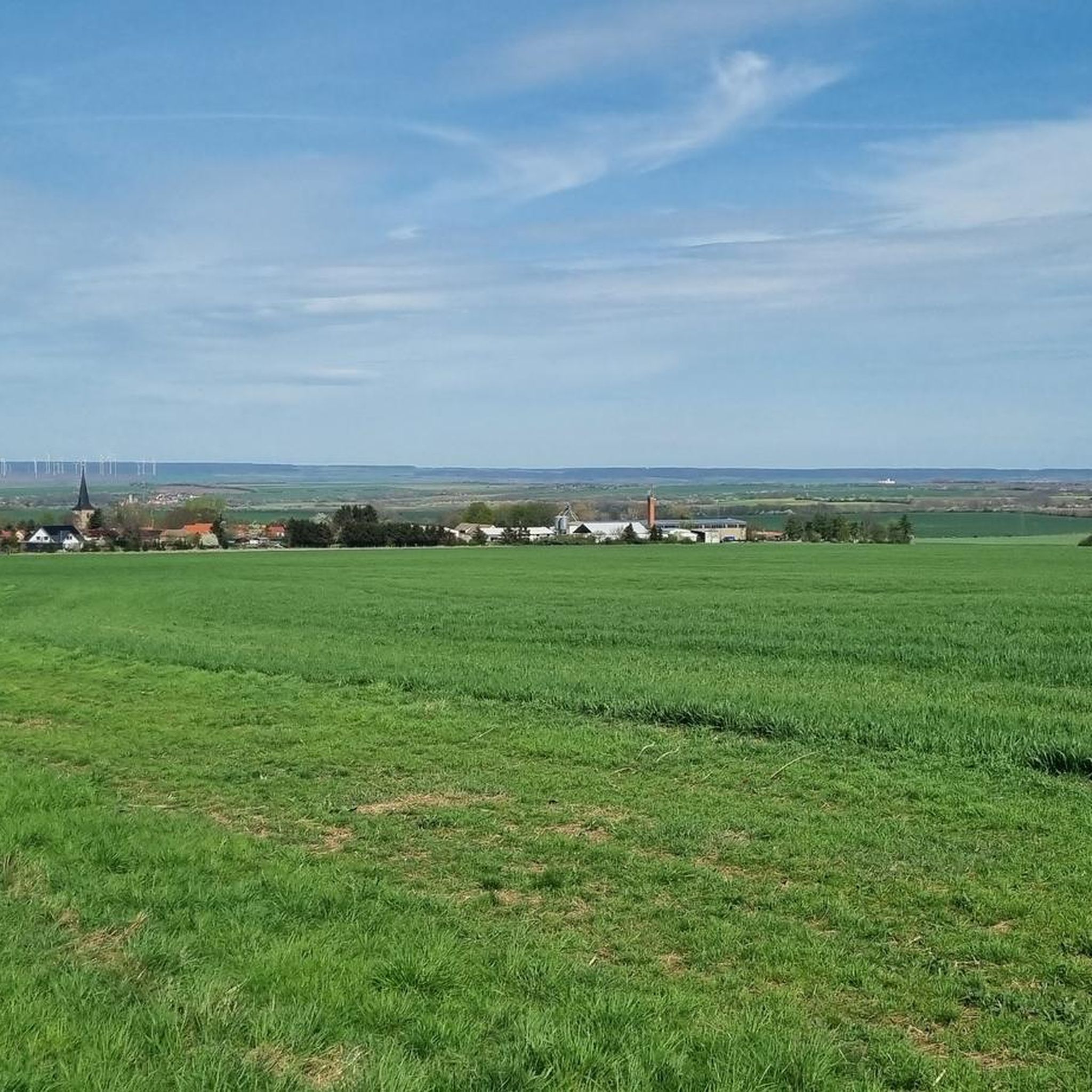
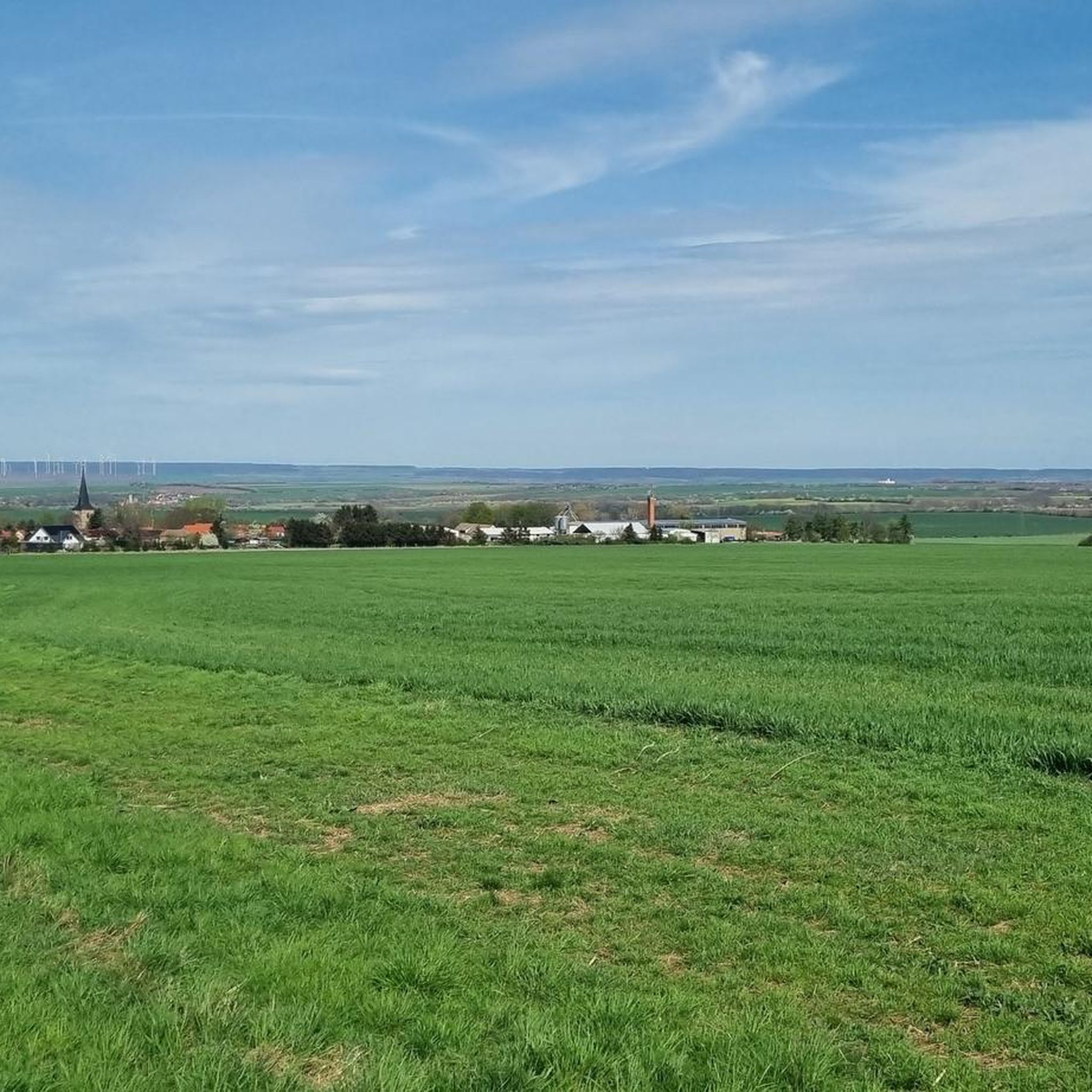
The region around Großobringen is characterized by gentle rolling hills, dense woodlands, and historic parklands. You'll find paths traversing forested areas and open fields, with some routes incorporating water features like reservoirs. Elevation changes are generally moderate, making the area accessible for many.
Are there easy hiking trails suitable for beginners or families in Großobringen?
Yes, Großobringen is very welcoming for beginners and families, with over 440 easy routes available. A great option is the Youth Hostel in the Forest – Princes' Clearing loop from Prinzenschneise, which is an easy 3.7-mile (5.9 km) trail through forested areas.
Are there any challenging hikes for experienced hikers in Großobringen?
While the region is known for its moderate terrain, there are 32 more challenging routes available for those seeking a greater workout. These trails often feature longer distances or more significant elevation gains, providing a good test for experienced hikers.
What historical sites or landmarks can I see while hiking in Großobringen?
Many trails in Großobringen lead past significant cultural landmarks. You can explore historic parklands and see impressive castles such as Belvedere Palace Weimar, Schloss Tiefurt, and Ettersburg Castle. The Tiefurt Palace and Park loop from Prinzenschneise is a good example of a route that explores such historic grounds.
Are there circular hikes available in Großobringen?
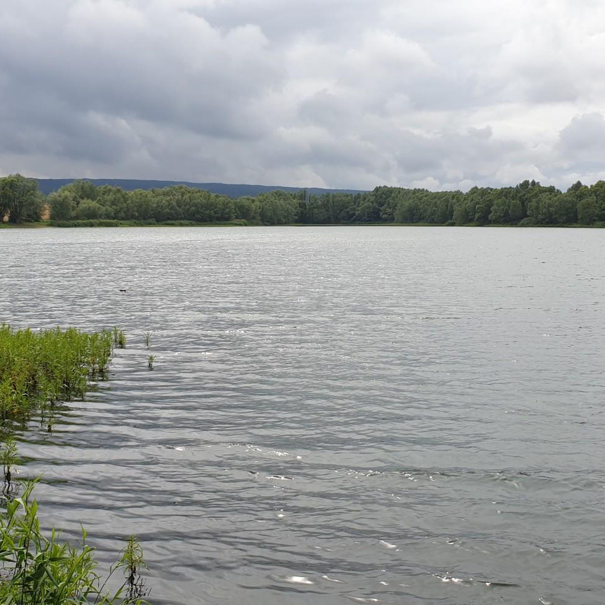
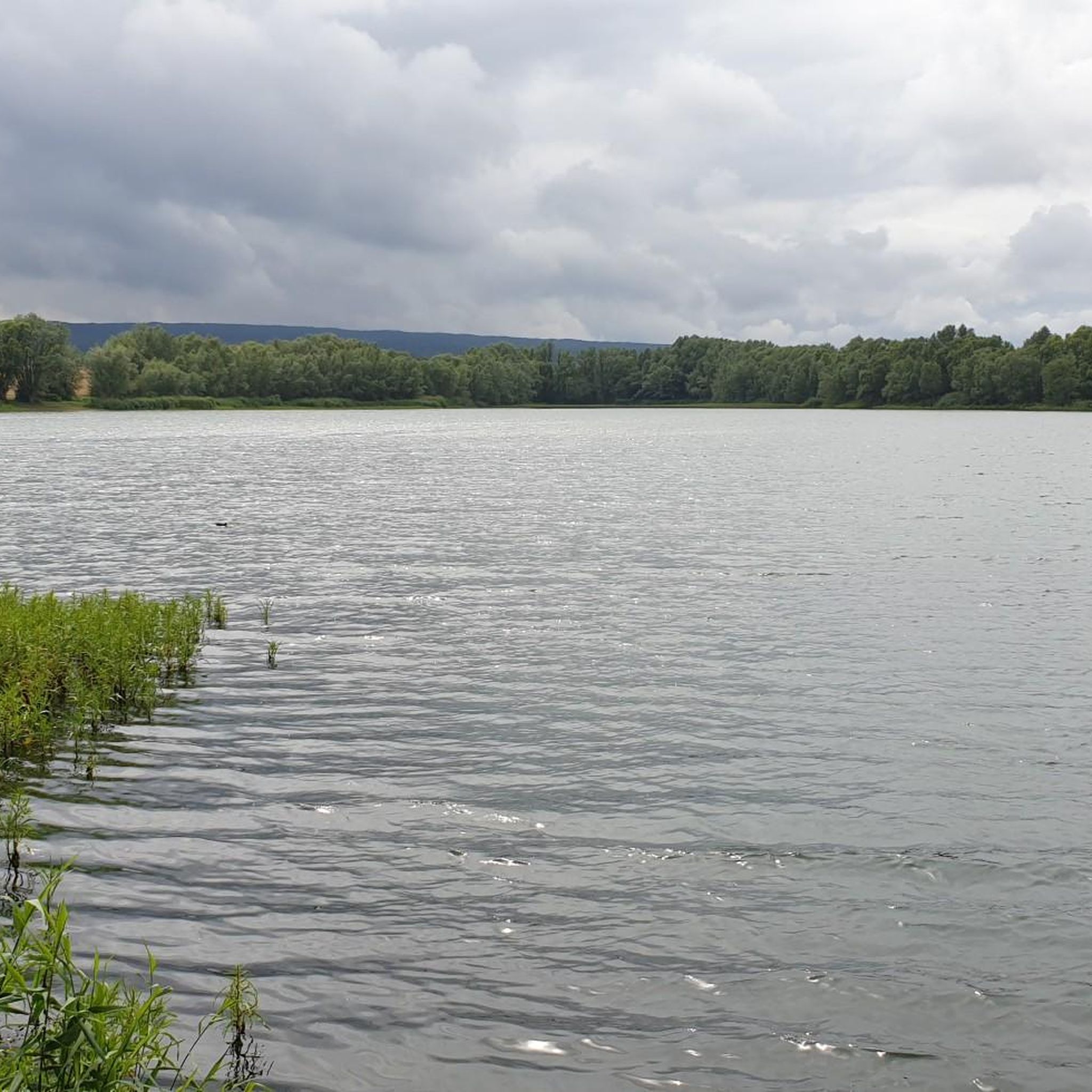
Yes, many of the routes in Großobringen are designed as circular hikes, allowing you to start and end at the same point. For instance, the Heichelheim Reservoir loop from Heichelheim is an easy circular trail that offers pleasant views.
Can I bring my dog on the hiking trails in Großobringen?
Generally, dogs are welcome on hiking trails in Großobringen. It's always recommended to keep your dog on a leash, especially in nature reserves, near wildlife, or when passing through agricultural areas, to ensure the safety and enjoyment of all trail users and local fauna.
Are there hikes that pass by water features or reservoirs?
Yes, some routes in Großobringen incorporate water features. The Heichelheim Reservoir loop from Heichelheim is a specific example of a trail that takes you around a local reservoir, offering peaceful waterside views.
What do other hikers enjoy most about hiking in Großobringen?
The hiking trails in Großobringen are highly rated by the komoot community, with an average score of 4.6 stars from over 2,400 reviews. Hikers often praise the region's mix of woodlands, historic parklands, and gentle hills, as well as the well-maintained paths that offer options for different ability levels.
What is the best time of year to go hiking in Großobringen?
The best time for hiking in Großobringen is typically during spring (April to June) and autumn (September to October) when the weather is mild and the landscapes are particularly beautiful with blooming flowers or vibrant fall foliage. Summer also offers pleasant hiking, especially in the shaded woodlands, while winter can provide unique snowy scenery.
Is there parking available for hikers near the trails in Großobringen?
Yes, parking is generally available in and around Großobringen, often near trailheads or in the villages. Specific parking information can usually be found on individual route pages on komoot, or by checking local signage upon arrival.
Can I reach hiking trails in Großobringen using public transport?
While some areas might be accessible by local bus services, reaching specific trailheads in Großobringen often requires planning. It's advisable to check local public transport schedules and routes in advance to see if they align with your desired starting points.
Most popular routes around Großobringen
Most popular attractions around Großobringen

Get inspired with the komoot mobile app


Explore more
Browse the best Hikes in other regions.
