The 15 Most Amazing Peaks around Renningen
Best mountain peaks around Renningen are characterized by rolling hills and elevated areas within Germany's Böblingen district. The region offers a picturesque landscape with various elevated points, rather than prominent mountain peaks in the traditional sense. Renningen itself has an average elevation of 441 meters, with the maximum elevation in the broader area reaching approximately 521 meters above sea level. These elevated points contribute to pleasant hiking and walking trails, allowing visitors to experience the local topography.
Best mountain peaks…
Last updated: August 24, 2026
Venusberg–Wolfsäcker–Besental/Halde Nature Reserve
Highlight • Natural Monument
Strictly speaking, …
Translated by Google •
Tip by

Engelberg Tower, Leonberg
Highlight • Monument
Translated by Google •
Tip by

Sign up now to discover places like this
Get recommendations on the best single tracks, peaks, & plenty of other exciting outdoor places.
Sign up for free
Venus mountain
Highlight • Natural
Translated by Google •
Tip by

Bernhartshöhe – Highest Point in Stuttgart
Highlight • Summit
Translated by Google •
Tip by

Gerlinger Kopf
Highlight • Summit
Translated by Google •
Tip by

Sign up for free to discover even more peaks around Renningen.
Sign up for free
Already have an account?
Start today with a free account
Your next adventure awaits.
Login or Signup
Tips from the Community

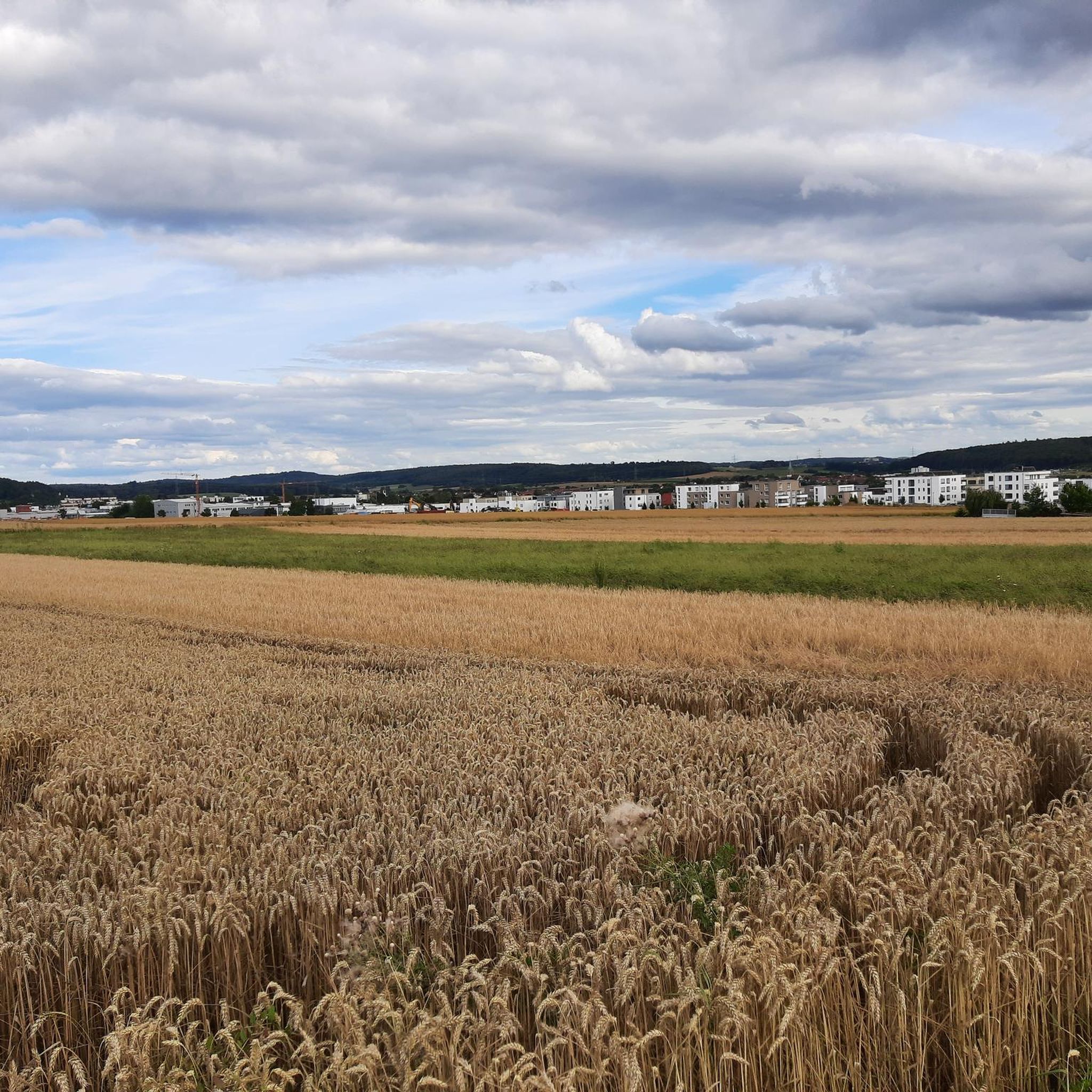
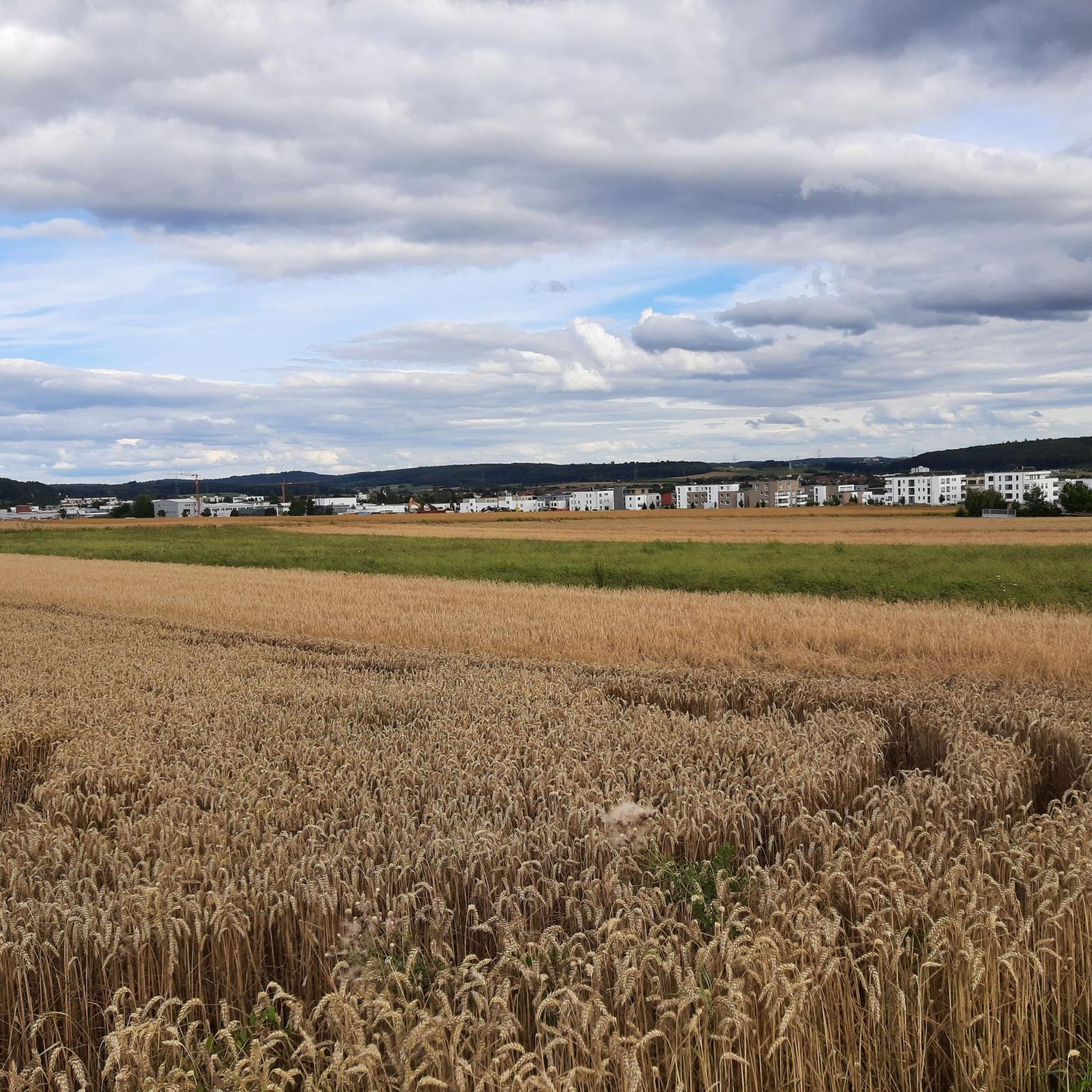
from here you have a wonderful view
0
0

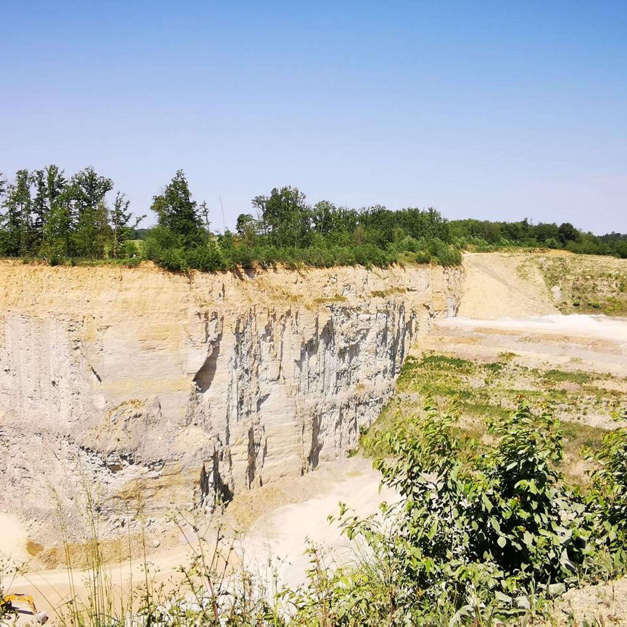
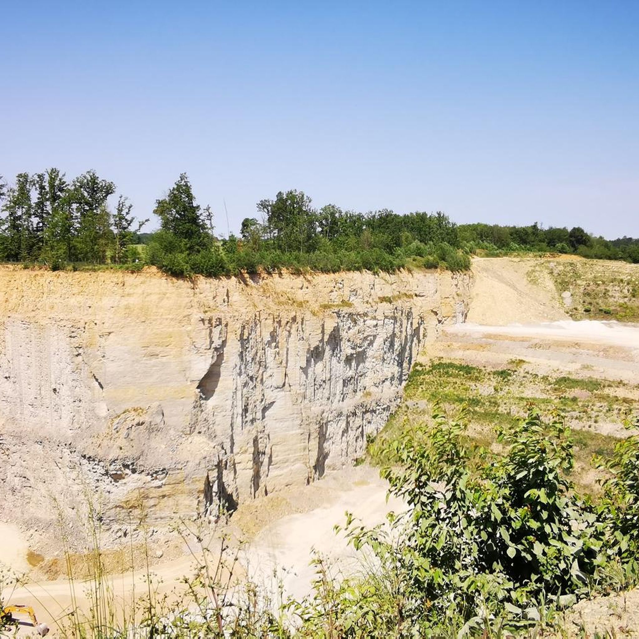
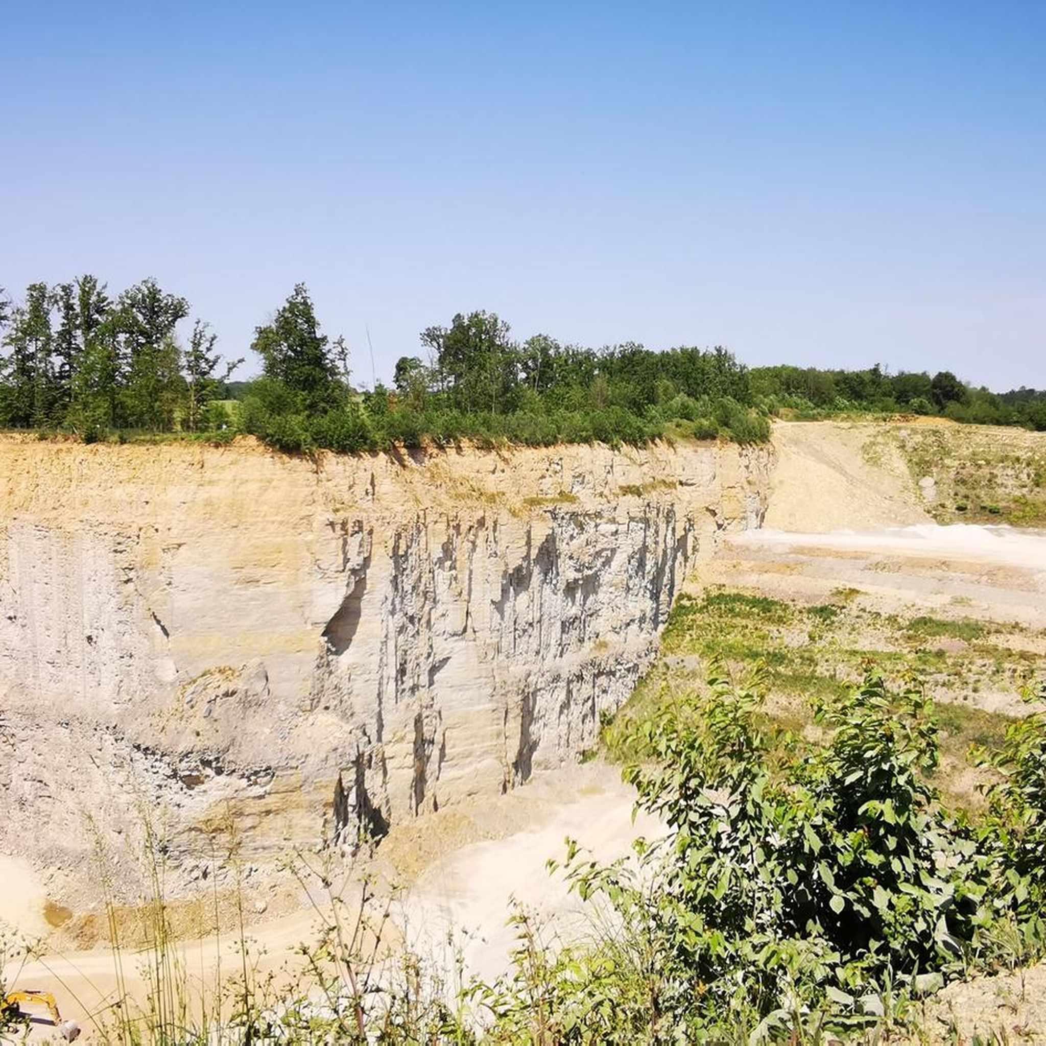
The path down to the quarry is very steep and can be challenging, especially in wet weather.
0
0

Looks like the little brother of the big Engelberg tower
7
1
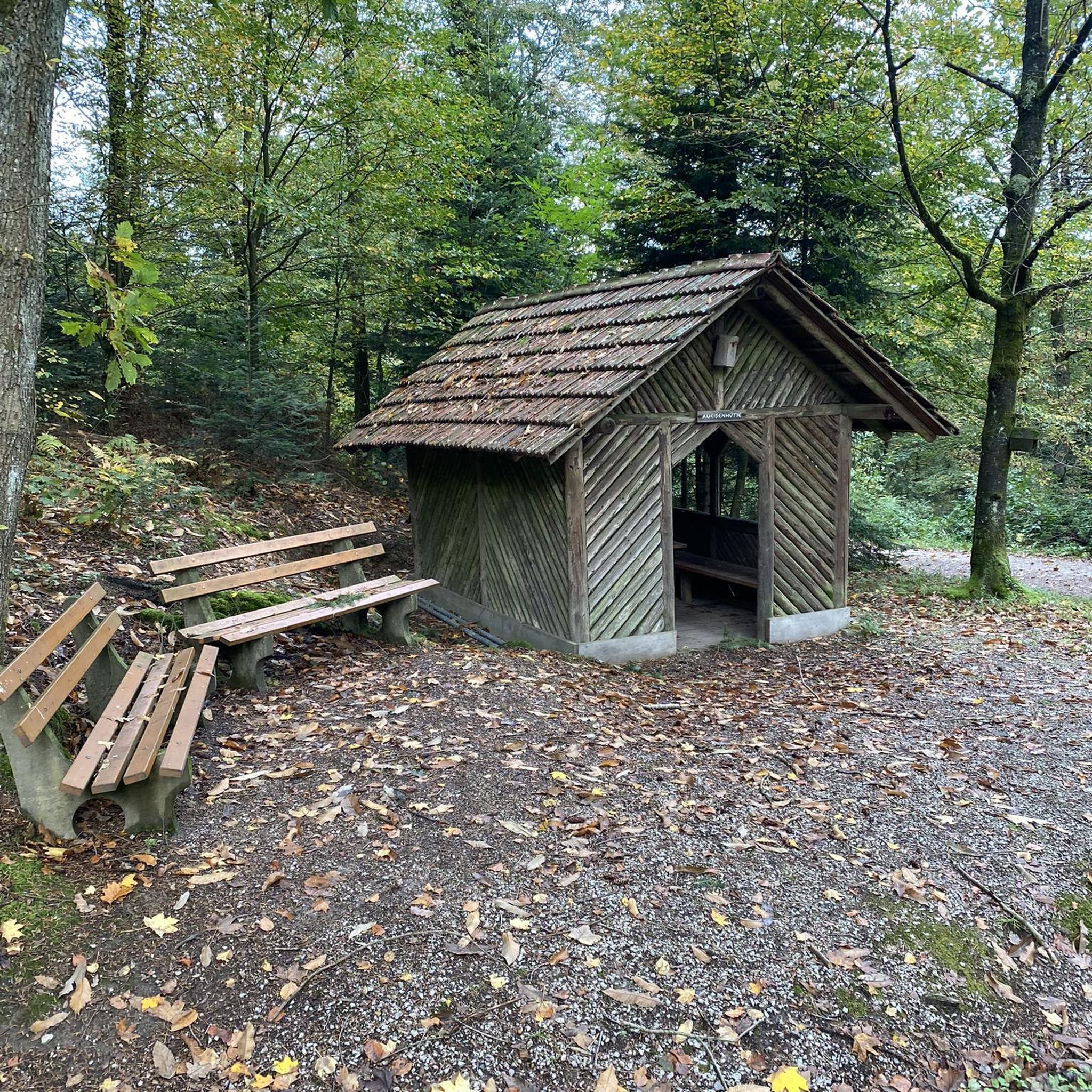
Unfortunately, Leonberg's landmark is only open on Sundays and public holidays from May 1st to October 31st, from 9:00 a.m. to 5:00 p.m., which is a real shame! ☹️ You can also visit outside of these hours. If you know in advance, you should call the number provided in the photo.
7
1

We're particularly fond of the juniper heath. Even the best sauerkraut doesn't taste good without juniper berries. Here, the berries are plentiful.
13
2

First and foremost a place of statistical value, as it is home to the highest elevation in Stuttgart at 549m. Unfortunately, apart from a large marker stone that stands on a large meadow, there is no view here. From the benches that stand here, you only see dense bushes, and even in autumn and winter there is no view at all. Instead, there is a monotonous background noise from the nearby motorway junction.
9
0
Since it does not rise above the treetops, it cannot be seen from the city
12
1
The large Engelberg Tower is one of Leonberg’s landmarks
11
2
Frequently Asked Questions
What kind of mountain peaks can I expect to find around Renningen?
The Renningen area is characterized by rolling hills and elevated areas rather than towering alpine peaks. You'll find picturesque landscapes with popular spots for hiking and scenic views. These include natural reserves, elevated viewpoints, and even some artificial hills that offer unique perspectives of the region.
Are there any significant nature reserves or natural monuments to explore?
Yes, the region boasts the significant Venusberg–Wolfsäcker–Besental/Halde Nature Reserve, which is the largest in the Böblingen district. This 115-hectare reserve features heath and forest landscapes on shell limestone soils, known for its juniper heathlands and preserved cultural landscapes maintained by sheep grazing. Another notable spot is Venus mountain, offering beautiful views from its plateau and a diverse ecosystem.
What are some of the highest points or summits near Renningen?
While not alpine, the area has several elevated points. The maximum elevation in the broader Renningen area is approximately 521 meters. One notable summit is the Bernhartshöhe – Highest Point in Stuttgart, which reaches 549 meters above sea level. It's primarily known for its statistical value as Stuttgart's highest point, though views can be limited by trees. The Gerlinger Kopf, an artificial hill, also reaches 502 meters above sea level.
Are there family-friendly elevated areas or trails around Renningen?
Many of the elevated areas and nature reserves around Renningen are suitable for families. Both the Venusberg–Wolfsäcker–Besental/Halde Nature Reserve and Venus mountain are categorized as family-friendly. The Kaiserstein Hemmingen, a historical site with panoramic views, is also considered family-friendly.
What kind of hiking trails can I find near these elevated areas?
The region offers numerous hiking opportunities through diverse landscapes including orchards, forests, and meadows. You can find trails like the "Viewpoint Berg – Mountain recreation area loop from Renningen Süd," which is a moderate 7.56 km route. For more options, explore the Hiking around Renningen guide.
Are there opportunities for cycling or mountain biking near the peaks?
Absolutely. The rolling hills and varied terrain around Renningen are great for cycling and mountain biking. You can find routes like the "Upper Hölzertal – Hölzersee loop from Renningen" for easy cycling, or more challenging MTB trails such as the "Glemstrail (Leonberg) – Sindelfingen Trail 1 loop from Renningen." Check out the Cycling around Renningen guide and the MTB Trails around Renningen guide for detailed routes.
What do visitors enjoy most about the elevated areas around Renningen?
Visitors particularly appreciate the unique natural landscapes, such as the juniper heath in the Venusberg nature reserve, and the scenic views over the surrounding hilly countryside. The peaceful atmosphere and opportunities for outdoor activities like hiking and cycling are also highly valued. The community has shared over 272 photos and given more than 690 upvotes to these spots.
Are there any historical sites or monuments on these elevated points?
Yes, the Kaiserstein Hemmingen is a notable historical site. It's a man-made monument where Kaiser Wilhelm I is said to have observed military exercises in 1885. It also offers a great panoramic view, especially in the evening.
What is the best time of year to visit the elevated areas near Renningen?
The region is enjoyable throughout much of the year. Spring and autumn offer pleasant temperatures for hiking and cycling, with vibrant foliage in autumn. Summer is also popular for outdoor activities. Even in winter, if conditions allow, the landscape can be beautiful, though some trails might be more challenging.
What is the Gerlinger Kopf and what makes it unique?
The Gerlinger Kopf is an interesting example of an artificial hill, created between 1961 and 1972 from a former garbage dump. It rises 75 meters high, with its summit reaching 502 meters above sea level, making it Gerlingen's second-highest point. Despite its unconventional origins, it offers an elevated perspective over the surrounding area, though views from the very top can be limited.
Can I find viewpoints with panoramic scenery?
Many elevated spots offer scenic views. The plateau of Venus mountain provides a beautiful view of the surrounding area. The "Mountain recreation area" near Renningen-Malmsheim is also highlighted for its scenic views over the hilly landscape. The Kaiserstein Hemmingen is known for its great panoramic views.
What is the general elevation of Renningen itself?
The town of Renningen is situated at an elevation of 409 meters (1,342 ft) above sea level. The surrounding elevated areas and hills contribute to the picturesque, rolling landscape of the region.
Most popular routes around Renningen
Most popular attractions around Renningen

Get inspired with the komoot mobile app


Explore more
See even more amazing summits around Renningen with these guides:
