The best road cycling routes around Butzbach
4.5
(190)
2,993
riders
118
rides
Road cycling routes around Butzbach are situated between the Taunus low mountain range and the Wetterau region. The area features a diverse topography, including rolling hills, green fields, and extensive forests. Cyclists encounter varied elevations, ranging from gentler paths in the Wetterau to more challenging climbs towards the Taunus. The landscape is characterized by its mix of open countryside and wooded sections.
Best road cycling routes around Butzbach
- The most popular road cycling route is View of Münzenberg Castle –…
Last updated: October 4, 2026
4.5
(17)
162
riders
60.8km
02:33
330m
330m
Moderate road ride. Good fitness required. Mostly well-paved surfaces and easy to ride.
4.8
(8)
109
riders
70.1km
03:06
480m
480m
Moderate road ride. Good fitness required. Some segments of this route may be unpaved and difficult to ride.

5.0
(3)
101
riders
79.6km
03:27
590m
590m
Moderate road ride. Good fitness required. Some segments of this route may be unpaved and difficult to ride.
4.6
(11)
95
riders
70.4km
03:10
660m
660m
Moderate road ride. Good fitness required. Some segments of this route may be unpaved and difficult to ride.
5.0
(8)
96
riders
Moderate road ride. Good fitness required. Mostly well-paved surfaces and easy to ride.
Get access to more routes and recommendations from other explorers.
Already have an account?
Our route recommendations are based on thousands of hikes, rides, and runs completed by other people on komoot.
Start today with a free account
Your next adventure awaits.



Tips from the Community

The cycle path runs parallel to the district road from Garbenteich to Lich, or vice versa. Due to the direct proximity to the road, it is relatively loud on this path.
2
0

Laterally under the bridge, a rail is still visible on which the telegraph lines were once attached.
1
0
The only bridge over the route between Hungen and Laubach. The bridge is loadable with 12t, according to the sign on top. The route underneath is nicely asphalted and it is wonderful to cycle or skate on it.
1
0
The marked point is not in the old town of Lich, but at most on the edge of it.
0
0
The marked point is not in the old town of Lich, but at most on its edge.
1
0

This is the habitat of various animals and plants.
1
0

a beautiful place :-)
0
2
I wouldn't have seen it without Komoot
0
2
Frequently Asked Questions
How many road cycling routes are available around Butzbach?
There are over 130 road cycling routes in the Butzbach area. These include 15 easy routes, 97 moderate routes, and 18 challenging routes, catering to various fitness levels.
What is the best time of year for road cycling in Butzbach?
The months of May and June are particularly popular for road cycling around Butzbach, offering pleasant weather to enjoy the green fields and rolling hills of the Wetterau region and the Taunus.
Are there challenging road cycling routes with significant elevation gain?
Yes, for those seeking a challenge, the region offers routes with significant elevation gain, especially towards the Taunus mountains. The Hausberg and Schrenzer hills also provide opportunities for demanding climbs with rewarding views. An example is the 74.8 km route with 892 m of elevation mentioned in the region research.
Are there any easy or beginner-friendly road cycling routes?
Absolutely. The Wetterau region, with its rolling hills and green fields, offers a gentler topography ideal for more relaxed rides. An easy option is the Ascent to Donnerskopf – Eau Rouge of the Hintertaunus loop from Maibach, which is 16.6 km long.
What scenic viewpoints can I discover along the road cycling routes?
Many routes offer breathtaking panoramic views. You can cycle to the Hausberg tower for expansive views over the Wetterau and Taunus Mountains, or the Winterstein tower which provides vistas of Frankfurt, the Wetterau, and the Taunus. The Eschbacher Klippen also offer a scenic stop.
Can I combine road cycling with historical sightseeing in Butzbach?
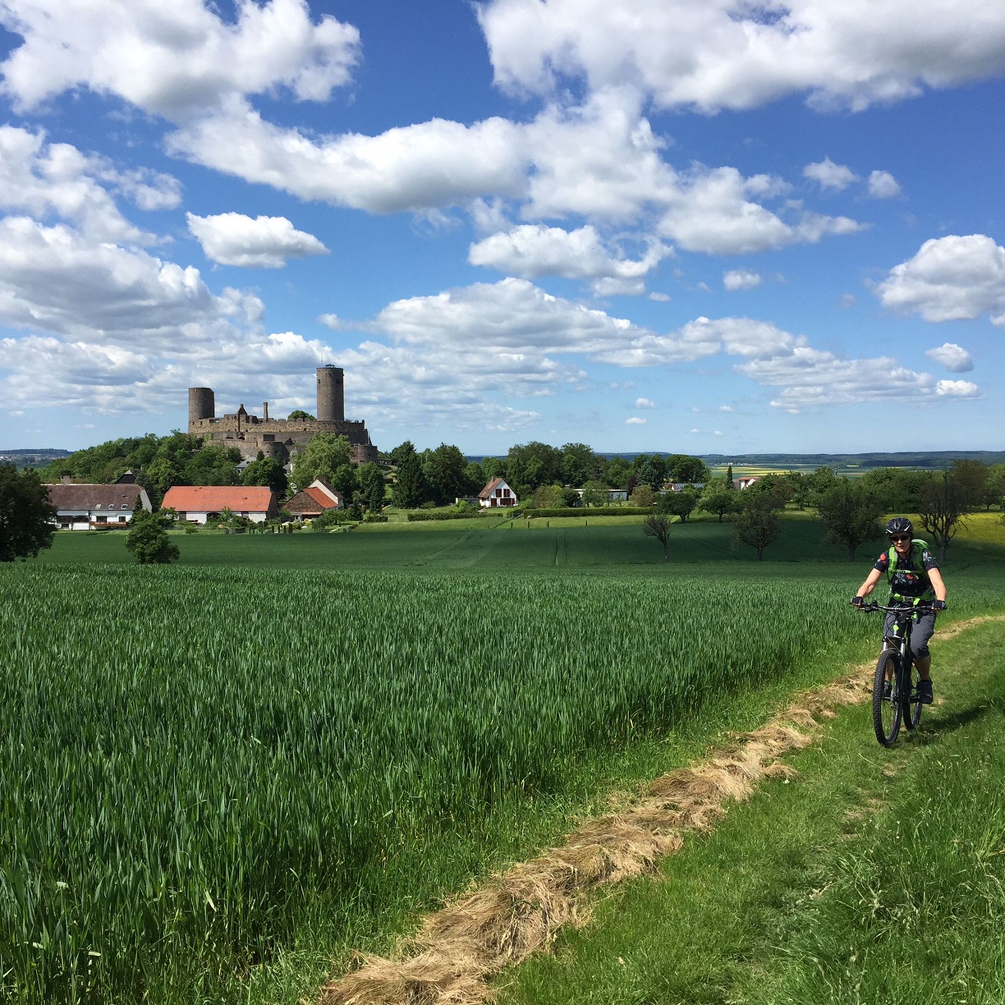
Yes, many routes pass by or lead to historical attractions. You can explore Butzbach's historic old town with its castle and medieval walls, or cycle along sections of the Roman Limes, a UNESCO World Heritage Site. The ruins of Münzenberg Castle are also accessible via cycling routes, such as the View of Münzenberg Castle – View of Münzenberg Castle loop from Butzbach.
Are there circular road cycling routes around Butzbach?
Yes, many routes are designed as loops, allowing you to start and end in the same location. For example, the View of Münzenberg Castle – Münzenberg Castle loop from Butzbach is a 79.6 km circular trail that takes you through the Wetterau region and past historical sites.
What do other road cyclists say about the routes in Butzbach?
The road cycling routes in Butzbach are highly rated by the komoot community, with an average score of 4.6 stars from over 140 reviews. Cyclists often praise the varied terrain, from gentle paths in the Wetterau to challenging climbs in the Taunus, and the well-maintained, mostly paved surfaces.
How long do road cycling routes around Butzbach typically take?
Route durations vary significantly based on distance and elevation. For instance, an easy route like the Ascent to Donnerskopf – Eau Rouge of the Hintertaunus loop from Maibach (16.6 km) can take about 1 hour, while longer routes such as the Alte Traiser Mühle – Lich Old Town loop from Ostheim (bei Butzbach) (71.7 km) might take around 3 hours 12 minutes.
Where are good starting points for road cycling in Butzbach?
Butzbach itself is an excellent starting point, offering access to various routes and amenities. Other towns and villages in the surrounding Wetterau and Taunus regions also serve as convenient starting points, often with parking available. Many routes, like the Lich Old Town – Lich Old Town loop from Ostheim (bei Butzbach), begin from specific locations like Ostheim.
Are there any natural features to explore besides the mountains?
Beyond the Taunus, the tranquil Wetter River winds through the landscape, contributing to the scenic beauty. The region also features extensive forests and quiet brook valleys, particularly in the eastern Hintertaunus, providing shaded routes and a sense of immersion in nature.
Most popular routes around Butzbach
Most popular attractions around Butzbach

Get inspired with the komoot mobile app


Explore more
Browse the best Road cycling routes in other regions.
