The best walks and hikes around Grosswangen
4.3
(575)
3,575
hikers
29
hikes
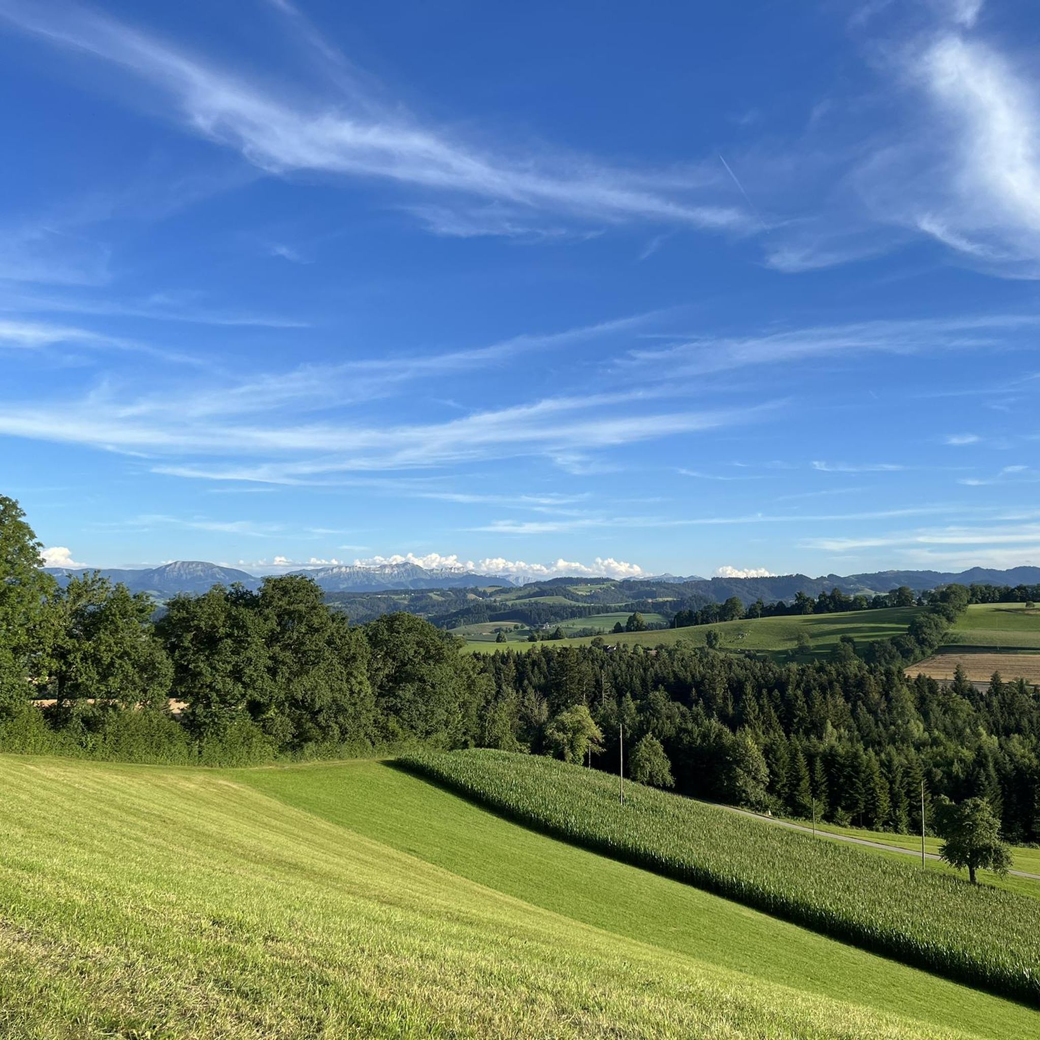
Hiking around Grosswangen offers diverse landscapes and accessible trails in Central Switzerland. The region is characterized by a mix of natural features, including lakes, natural monuments, and mountain peaks. Many paths are easily walkable, with some routes extending up to 20 kilometers and elevation gains reaching up to 300 meters. The area provides a variety of environments suitable for different fitness levels.
Best hiking trails in Grosswangen
- The most popular hiking route is Wellberg Viewpoint Cross – Wyher Castle loop…
Last updated: September 30, 2026
5.0
(4)
27
hikers
Moderate hike. Good fitness required. Easily-accessible paths. Suitable for all skill levels.
4.5
(2)
15
hikers
Easy hike. Great for any fitness level. Easily-accessible paths. Suitable for all skill levels.

5.0
(2)
8
hikers
Moderate hike. Good fitness required. Easily-accessible paths. Suitable for all skill levels.
10
hikers
6.40km
01:51
160m
160m
Easy hike. Great for any fitness level. Easily-accessible paths. Suitable for all skill levels.
3
hikers
16.4km
04:36
290m
300m
Moderate hike. Good fitness required. Easily-accessible paths. Suitable for all skill levels.
Get access to more routes and recommendations from other explorers.
Already have an account?
Our route recommendations are based on thousands of hikes, rides, and runs completed by other people on komoot.
Start today with a free account
Your next adventure awaits.
Tips from the Community

Always a pleasure. Don't forget to visit the castle chapel.
0
0
Always a value, every summer evening there is a frog concert, quack
0
0
The Wyher Castle Chapel is an integral part of the historic Wyher moated castle in Ettiswil, whose history dates back to the Middle Ages. The chapel can accommodate 40 to 50 people and is used for religious services, weddings, and other events.
0
0
Public restroom at the rear of the main building
0
0
Signpost to the Buchwald Nature Trail (Bicycle racks nearby)
0
0
Two nice barbecue areas, wood provided
0
0
It's always wonderful to walk through here, in every season.
0
0
Frequently Asked Questions
How many hiking trails are available in Grosswangen?
Grosswangen offers over 30 hiking routes, with a good mix of easy, moderate, and a few more challenging options. You'll find paths suitable for various preferences and fitness levels.
Are there easy hiking options for beginners or casual walkers?
Yes, approximately half of the hiking routes in Grosswangen are rated as easy. Many paths are easily walkable and can be completed within a couple of hours, often with elevation gains of up to 300 meters. For example, the Wyher Castle – Wyher Castle Chapel loop from Grosswangen is an easy 7.5 km path exploring the castle grounds.
What kind of landscapes can I expect to see while hiking in Grosswangen?
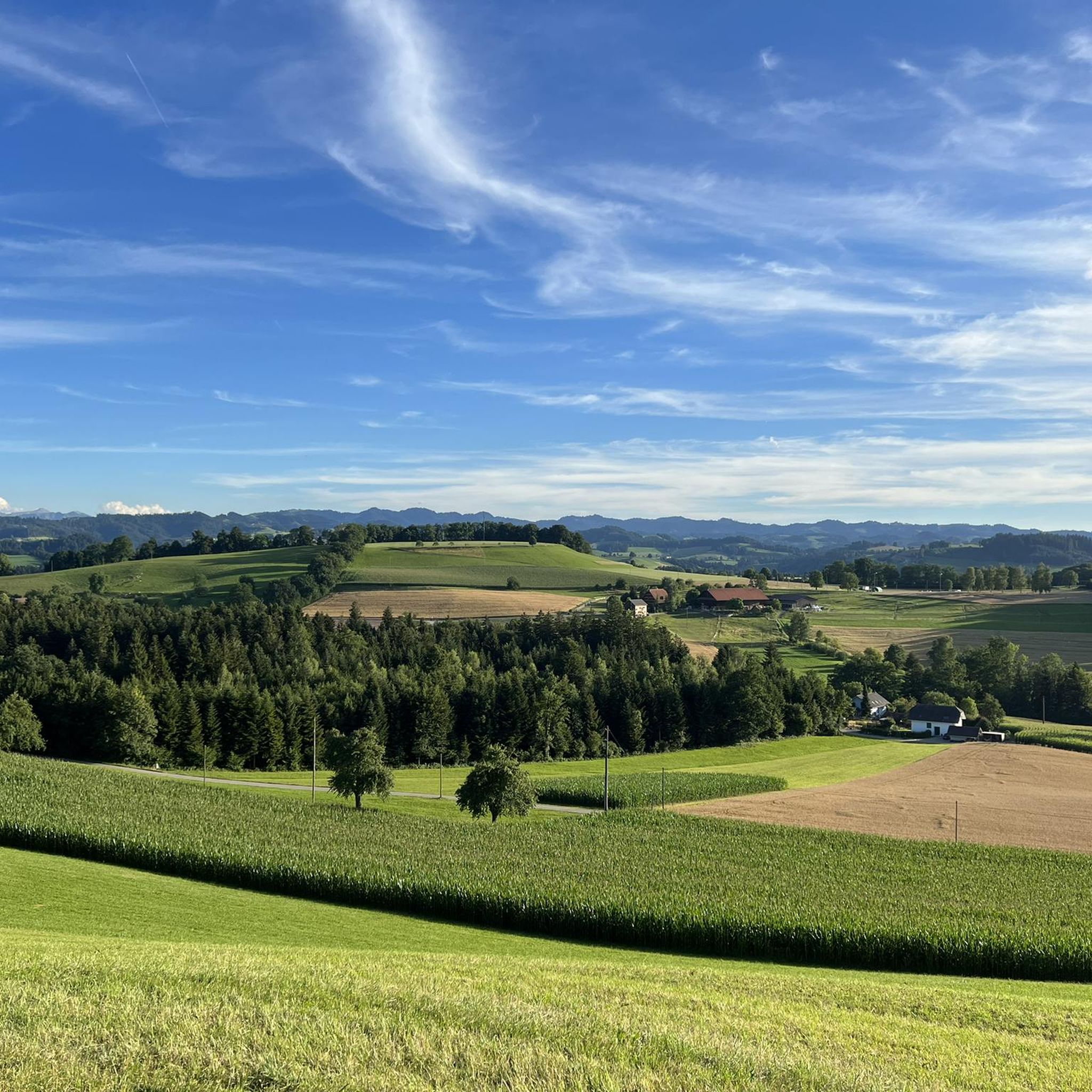
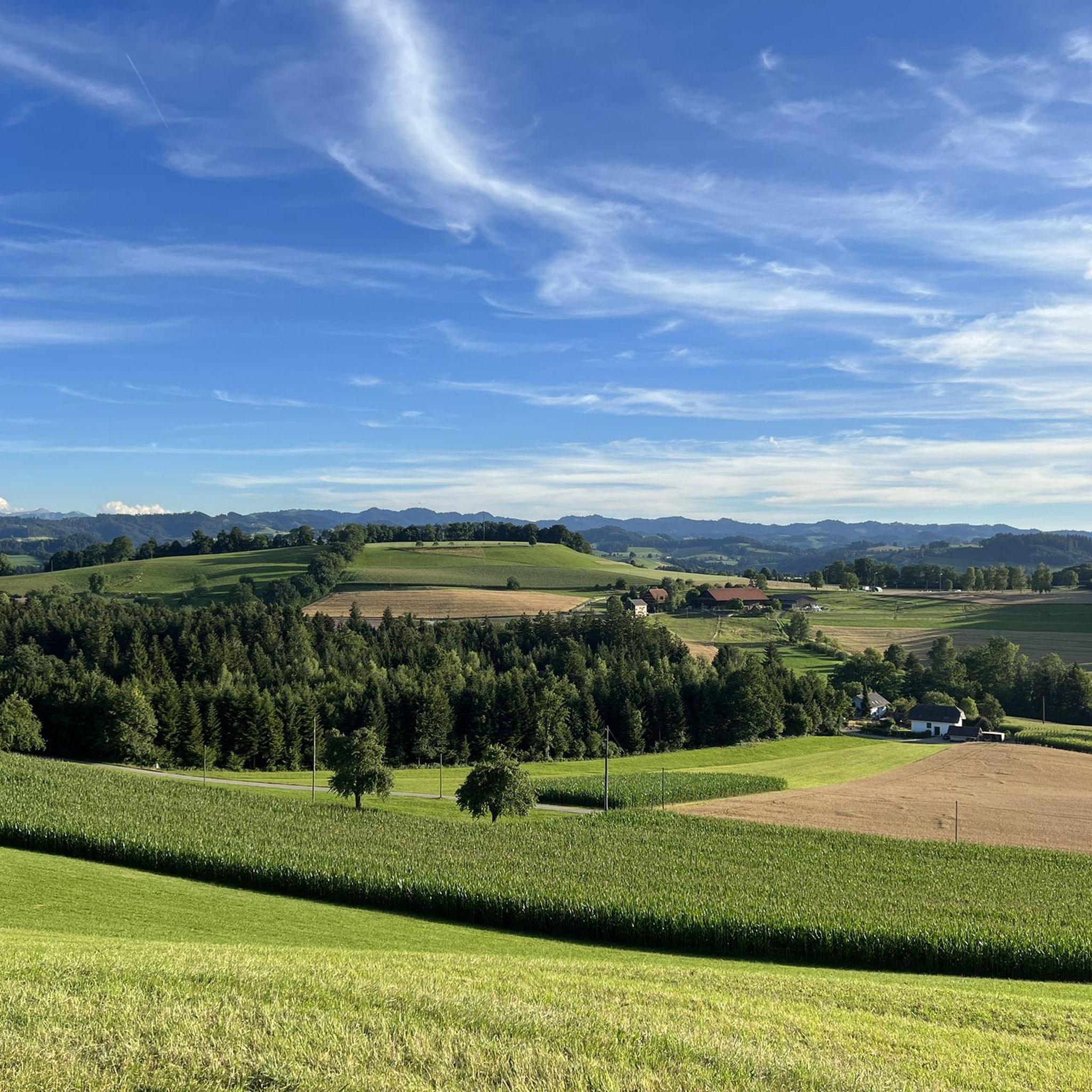
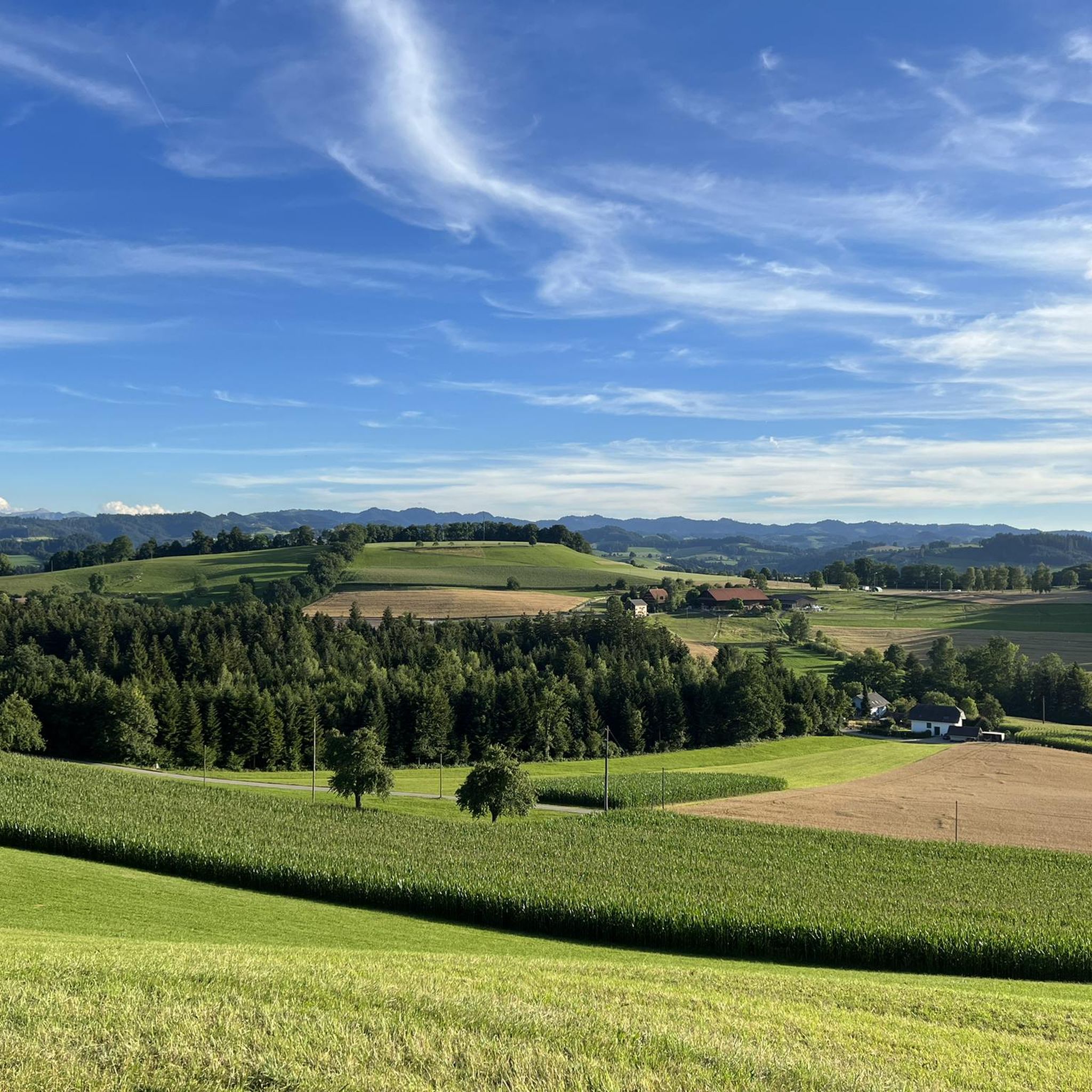
The Grosswangen region is characterized by diverse landscapes, including picturesque lakes, natural monuments, and gentle mountain peaks. You'll encounter varied terrain, from open fields with views of the Ostergau Moorland to forested sections and paths around historic sites like Wyher Castle.
Are there any family-friendly hiking trails in Grosswangen?
Yes, Grosswangen has several routes suitable for families. Many of the easy trails are perfect for walks with children, offering accessible terrain and manageable distances. The area's natural beauty and points of interest like Wyher Castle provide engaging experiences for all ages.
Can I bring my dog on the hiking trails in Grosswangen?
Generally, dogs are welcome on hiking trails in Grosswangen. It's always recommended to keep your dog on a leash, especially in nature reserves, agricultural areas, or near livestock, and to carry bags for waste. Always check local signage for specific regulations.
What are some notable landmarks or points of interest along the hiking routes?
Hikers can explore several interesting landmarks. The historic Wyher Castle is a prominent feature, with routes like the Wellberg Viewpoint Cross – Wyher Castle loop from Grosswangen passing directly by it. You can also find viewpoints like Wellberg Cross offering panoramic vistas, and the region is close to natural attractions such as Lake Sempach.
Are there circular hiking routes available in Grosswangen?
Yes, many of the hiking trails in Grosswangen are designed as circular routes, allowing you to start and end at the same point without retracing your steps. Examples include the Wellberg Viewpoint Cross – View of the Ostergau Moorland loop from Grosswangen and the Krafthöhe Cross – Wellberg Viewpoint Cross loop from Grosswangen.
What do other hikers enjoy most about hiking in Grosswangen?
The komoot community highly rates the hiking experience in Grosswangen, with an average score of 4.4 stars from over 400 reviews. Hikers often praise the diverse landscapes, the accessibility of the trails, and the beautiful views, particularly those encompassing lakes and historic sites like Wyher Castle.
Is public transport available to reach hiking trailheads in Grosswangen?
Grosswangen is well-connected within Central Switzerland, making it accessible by public transport. While specific trailhead access may vary, local bus services often connect to the village center, from where many trails are within walking distance. It's advisable to check local transport schedules for the most convenient options.
Are there places to eat or drink near the hiking trails in Grosswangen?
Yes, Grosswangen and its surrounding areas offer options for refreshments. You can find local cafes and restaurants in the village. Additionally, some routes might pass by or be close to traditional Swiss huts or guesthouses where you can enjoy a meal or a drink after your hike.
What is the best time of year to go hiking in Grosswangen?
Grosswangen is suitable for hiking throughout much of the year. Spring and autumn offer pleasant temperatures and beautiful scenery with blooming flowers or vibrant fall foliage. Summer is also popular, though it can be warmer. Winter hiking is possible on cleared paths, offering a different, serene experience, but always check conditions.
Are there any permits required for hiking in Grosswangen?
No, permits are generally not required for hiking on public trails in Grosswangen or the surrounding region of Central Switzerland. You are free to explore the well-maintained network of paths at your leisure.
Most popular routes around Grosswangen
Most popular attractions around Grosswangen

Get inspired with the komoot mobile app


Explore more
Browse the best Hikes in other regions.
