The 4 Most Amazing Peaks around Krailling
Best mountain peaks around Krailling are found in the Würm Valley, a region in Upper Bavaria, Germany. Krailling is characterized by its surrounding hills and valleys, which are suitable for hiking and cycling. While the municipality itself does not feature significant mountain peaks, it serves as a gateway to the broader Bavarian landscape, including areas with more prominent mountainous terrain. The region around Krailling, particularly towards the Bavarian Alps, offers various elevated points and hiking opportunities.
Best mountain peaks around…
Last updated: August 24, 2026
Baldehöhe – Munich's Highest Geographical Point
Highlight • Summit
Translated by Google •
Tip by

Aubinger Lohe (Teufelsberg)
Highlight • Forest
Translated by Google •
Tip by

Sign up now to discover places like this
Get recommendations on the best single tracks, peaks, & plenty of other exciting outdoor places.
Sign up for free
Parsberg Summit and Geological Trail
Highlight • Summit
de.m.wikipedia.org/wiki/Parsberg_(Berg)
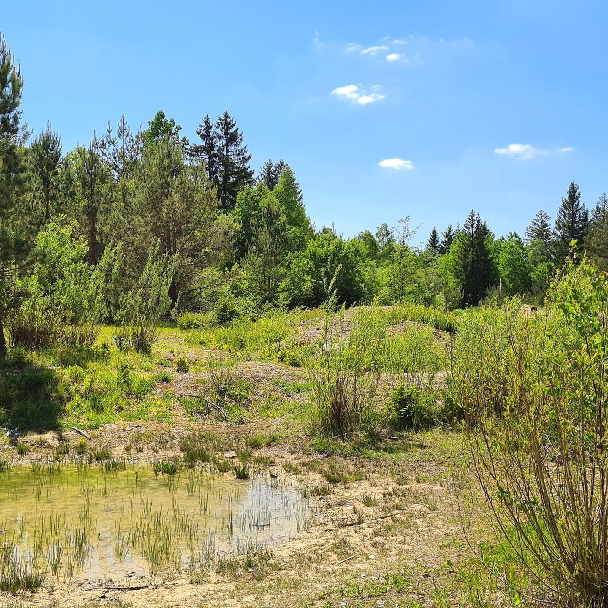
According to the map, somewhere here, in the middle of the forest, is the rather unspectacular highest point of the Parsberg.
Translated by Google •
Tip by

Höhenberg summit
Highlight • Summit
Tip by

Baldehöhe
Highlight • Summit
Translated by Google •
Tip by

Sign up for free to discover even more peaks around Krailling.
Sign up for free
Already have an account?
Start today with a free account
Your next adventure awaits.
Login or Signup
Tips from the Community

Definitely worth a walk. Quite steep. 🤭
0
0

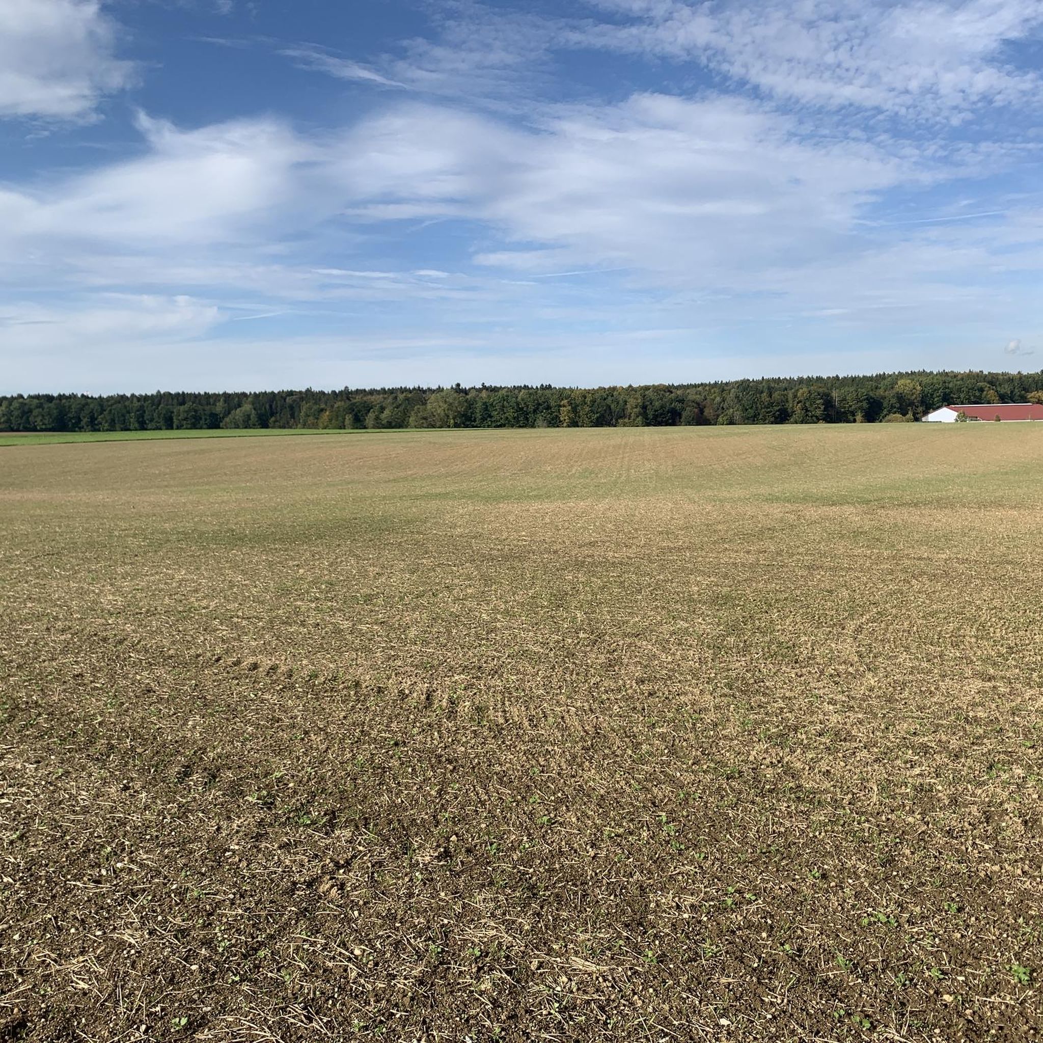
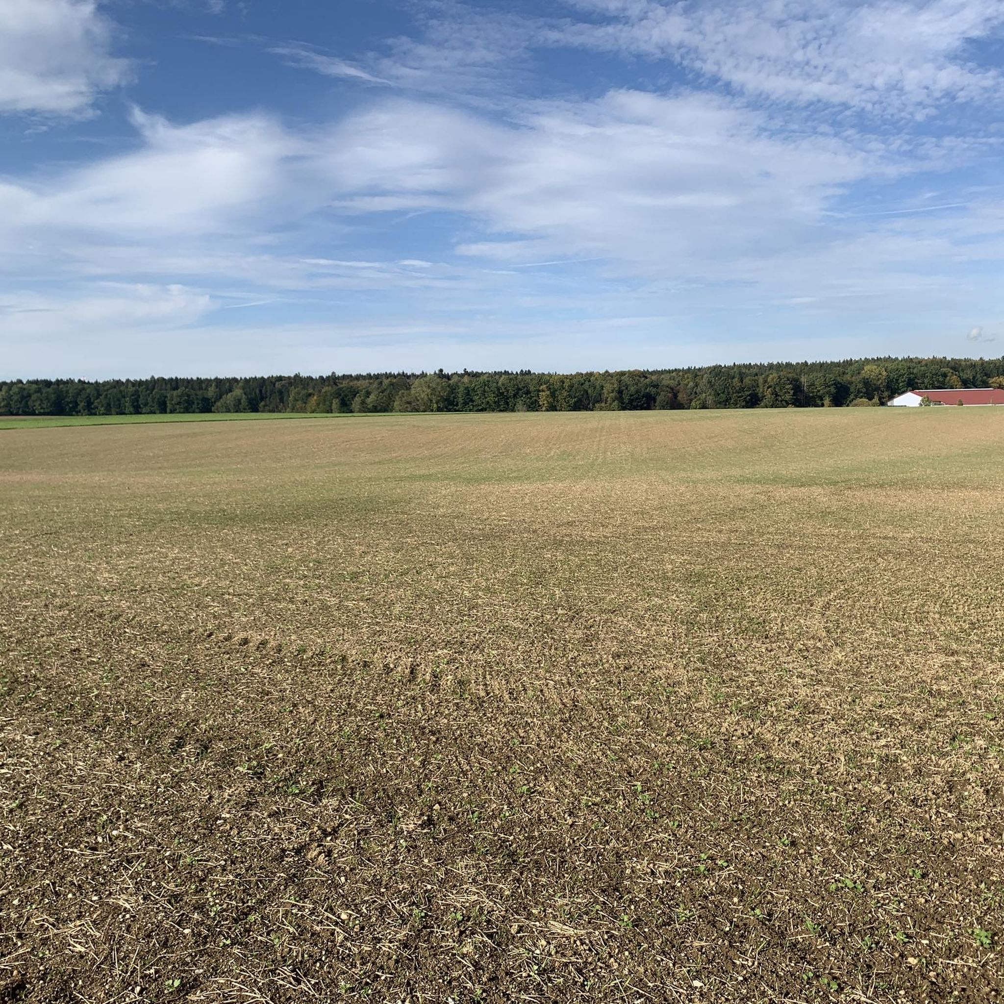
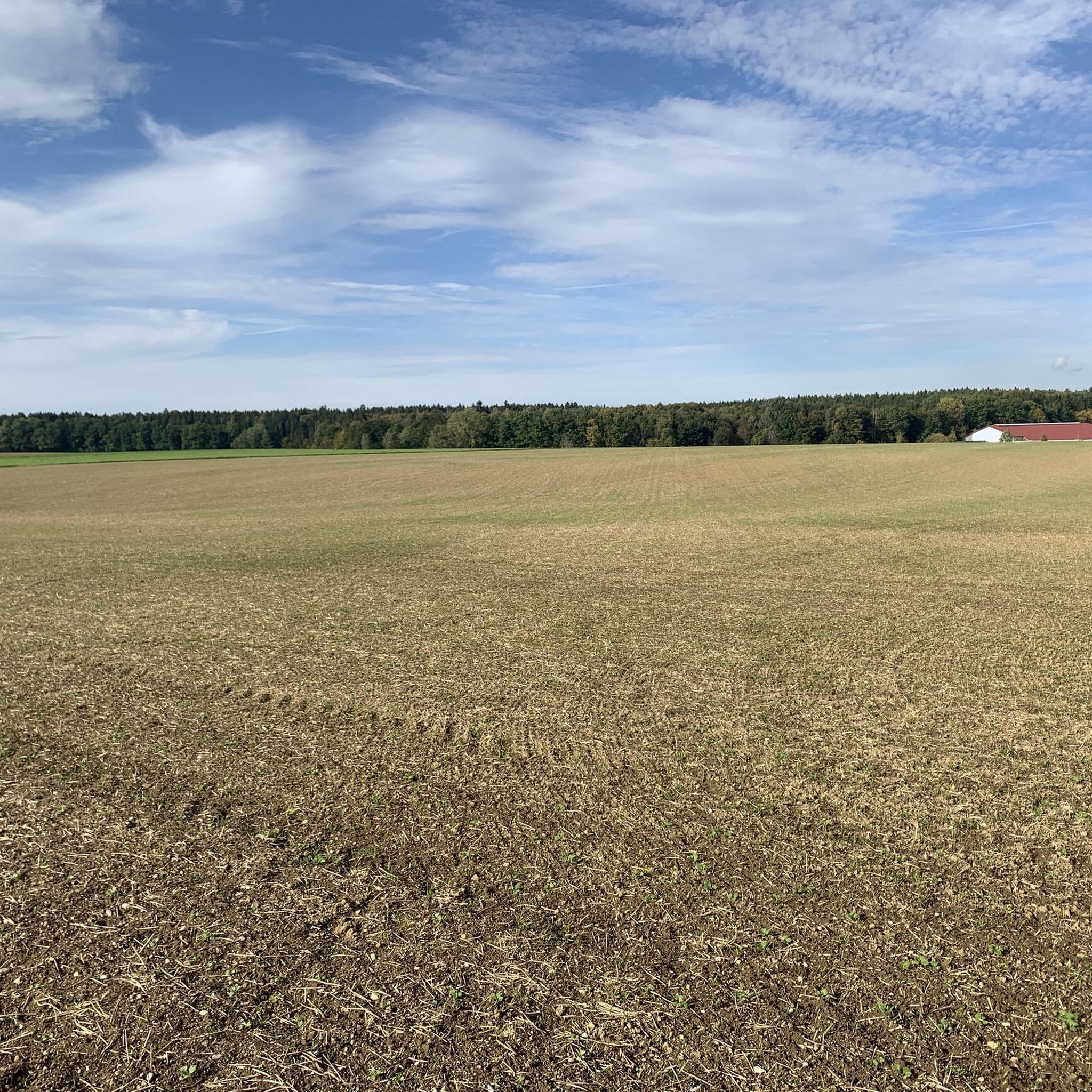
Apart from fields, the small Warnberg pond and views of the Warnberg estate, there is actually nothing to see here. The geographically highest natural point in Munich's urban area is on the estate's private property and is not accessible. On the path around the farm you can at least walk around the grounds.
5
0

A spilled mountain is the highest point in Munich
1
0

You wouldn't think that there is a steep, high mountain in the middle of the forest; it is the highest point in the municipality of Wesling
1
0

Wikipedia (Parsberg (Mountain), 2023-10-31): https://de.m.wikipedia.org/wiki/Parsberg_(Berg) According to the map, somewhere here, in the middle of the forest, is the rather unspectacular highest point of the Parsberg.
2
0
Apart from fields, the small Warnberg pond and views of the Warnberg estate, there is actually nothing to see here. The geographically highest natural point of the Munich city area is on the private property of the estate and is not accessible. On the way around the farm you can walk around the site at least once.
2
0

If you search - it won't take long - you'll have an amazing window in-between tree branches with a view of Zugspitze. Definitely worth a walk. Both ascend and descend are easier from the eastern side.
1
0

when you have left Solln, you have a beautiful view over the fields and the Forstenrieder Park
1
0
Frequently Asked Questions
What are the most notable elevated points or 'peaks' around Krailling?
While Krailling itself is characterized by hills and valleys rather than towering peaks, the surrounding region offers several elevated points. Among the most popular are View of Lake Wörth from Burgselberg, which offers panoramic views over Lake Wörth, and Baldehöhe – Munich's Highest Geographical Point, known for its historical significance and views of the Warnberg estate. Another charming spot is Höhenberg Drößling Summit Cross, a small hill with a summit cross offering views of surrounding villages and distant mountains.
Are there any family-friendly elevated points or hikes near Krailling?
Yes, several spots are suitable for families. Both View of Lake Wörth from Burgselberg and Baldehöhe – Munich's Highest Geographical Point are categorized as family-friendly. These locations offer accessible paths and pleasant surroundings for a day out with children.
What kind of natural features can I expect to see when exploring the elevated points near Krailling?
The region around Krailling offers diverse natural features. At View of Lake Wörth from Burgselberg, you can enjoy stunning views of Lake Wörth and surrounding forests. Baldehöhe provides views of fields and the small Warnberg pond. Generally, you'll find a landscape of rolling hills, forests, and valleys, characteristic of the Würm Valley and the broader Upper Bavarian region.
Are there historical sites associated with the elevated points around Krailling?
Yes, View of Lake Wörth from Burgselberg is also a historical site. It refers to an abandoned high medieval castle, with only earthworks remaining today, making it a registered archaeological monument. Baldehöhe is named after the Jesuit Jacob Balde and was historically used as a sentry post in the Middle Ages.
What are the hiking opportunities near Krailling's elevated points?
The area around Krailling, including the Würm Valley and the Starnberg district, offers numerous hiking trails. For more detailed hiking routes, you can explore the Hiking around Krailling guide. Some popular trails include the 'Entrance to the Nature Reserve – Pentenrieder Pond loop from Pentenried' and the 'Fußberg Castle Park – Würm River Trail loop from Landkreis München'.
What other outdoor activities can I do near the elevated points around Krailling?
Beyond hiking, the region is excellent for cycling. You can find various routes in the Cycling around Krailling guide, such as the 'Würmtal Riverbank – Recreation area on the Würm loop from Stockdorf'. For gravel biking enthusiasts, the Gravel biking around Krailling guide offers challenging routes like 'Wörthsee and Ammersee via Lake Starnberg - loop from Planegg'.
What is the highest point in the immediate vicinity of Krailling or within Munich's city limits?
The highest geographical point within Munich's city limits is Baldehöhe, reaching 580.5 meters above sea level. While the very peak is on private property, the surrounding paths offer views and a sense of its elevation.
What do visitors particularly enjoy about the elevated points around Krailling?
Visitors appreciate the fantastic views offered by these elevated spots. For instance, the View of Lake Wörth from Burgselberg is praised for its amazing height and inviting benches to linger and enjoy the scenery. The small but mighty Höhenberg Drößling Summit Cross is recommended for its dream views of surrounding villages and distant mountains.
Are there any viewpoints that offer panoramic vistas of the surrounding landscape?
Yes, several points are excellent for panoramic views. View of Lake Wörth from Burgselberg provides a fantastic perspective over Lake Wörth. Höhenberg Drößling Summit Cross also offers a wide view of the surrounding villages and distant mountains, making it a rewarding stop for scenic appreciation.
How accessible are these elevated points by public transport or car?
While specific public transport details for each peak are not provided, Krailling is well-connected within the Munich metropolitan area. Many of these elevated points are typically reached via local roads, with parking often available nearby, especially for popular hiking starting points. For detailed travel planning, it's advisable to check local transport schedules or mapping services for the specific highlight you plan to visit.
What is the general difficulty level for exploring these elevated points?
The elevated points around Krailling, such as Burgselberg, Baldehöhe, and Höhenberg Drößling, are generally considered to offer intermediate difficulty. This means they are suitable for most visitors with a reasonable level of fitness, often involving moderate ascents and well-maintained paths.
Can I find cafes or places to eat near the hiking areas around Krailling?
While specific cafes directly at the 'peaks' are not listed, the municipality of Krailling and nearby towns in the Würm Valley offer various dining options. Many hiking and cycling routes, such as those in the Hiking around Krailling guide, pass through or near villages where you can find cafes, pubs, and restaurants to refuel.
Most popular routes around Krailling
Most popular attractions around Krailling

Get inspired with the komoot mobile app


Explore more
See even more amazing summits around Krailling with these guides:
