The best walks and hikes around Grove
4.6
(1858)
7,297
hikers
474
hikes
Hiking around Grove features a landscape characterized by gentle terrain, open fields, and tranquil water bodies. The region's trails often meander past village ponds and through rural areas, offering accessible outdoor experiences. Elevations are generally low, making for mostly flat or gently undulating paths. This environment provides opportunities for relaxed walks amidst natural and agricultural settings.
Best hiking trails around Grove
- The most popular hiking route is Water Lily Pond Schwarzenbek – Forsthaus Radekamp loop from Schwarzenbek, a 6.0…
Last updated: July 6, 2026
4.6
(5)
33
hikers
Easy hike. Great for any fitness level. Easily-accessible paths. Suitable for all skill levels.
4.8
(19)
93
hikers
6.66km
01:41
10m
10m
Easy hike. Great for any fitness level. Easily-accessible paths. Suitable for all skill levels.

Sign up for free
5.0
(4)
22
hikers
Moderate hike. Good fitness required. Easily-accessible paths. Suitable for all skill levels.
5.0
(9)
31
hikers
3.22km
00:49
10m
10m
Easy hike. Great for any fitness level. Easily-accessible paths. Suitable for all skill levels.
3.8
(12)
24
hikers
Easy hike. Great for any fitness level. Easily-accessible paths. Suitable for all skill levels.
Get access to more routes and recommendations from other explorers.
Sign up for free
Already have an account?
Our route recommendations are based on thousands of hikes, rides, and runs completed by other people on komoot.
Start today with a free account
Your next adventure awaits.
Login or Signup

Tips from the Community

The new bridge for pedestrians and cyclists over the new B 209 bypass was opened in September 2022. It connects the "Strange" with the Veilchenweg. This new overpass serves as a replacement for the paths between Schwarzenbek and Grove that were interrupted by the new road. The new cycle and hiking path runs 2.50 meters wide in the middle of the new "bat bridge". Bat bridges are structural constructions over highly frequented traffic routes - such as highways or railway lines - that are intended to enable low-flying bats to cross safely. The bridges, which vary greatly in their shape, are intended to serve as flight corridors for the bats, which they use to orient themselves when flying over them using ultrasound. Similar to green bridges, bat bridges connect the animals' habitats that have been cut up in order to counteract the consequences of the fragmentation of open space by traffic routes. Public opinion about bat bridges is divided, as their usefulness is extremely controversial - even scientifically. https://de.wikipedia.org/wiki/Fledermausbr%C3%BCcke
3
1

The German federal highway 404 (abbreviation: B 404) leads from Kiel to Lüneburg. The B 404, also known as the "North-South Road" and "Kieler Schnellweg", has been rebuilt since the 1950s as a completely new route from Kiel to the south, with the exception of the areas between Stolpe and Bornhöved (in the 1970s as A 21 completed) and between Grande and Geesthacht. It was planned as a fast connection between Kiel and the A 1 and thus as a relief route for the B 4, which at that time, before the A 7 was built, was the main connection between Kiel and Hamburg. In the 1960s, construction continued south of the A 1. The B 404 was already built there without crossing. The four-lane expansion between Neversdorf and Bad Oldesloe took place in the mid-1980s. In 1992 the four-lane expansion of the subsequent route between Negernbötel and Neversdorf, and in 1998 the route between Bad Oldesloe and Hammoor was completed. In that year, the entire four-lane section between Negernbötel and Hammoor was upgraded to a motorway. (Source: Wikipedia)
2
0

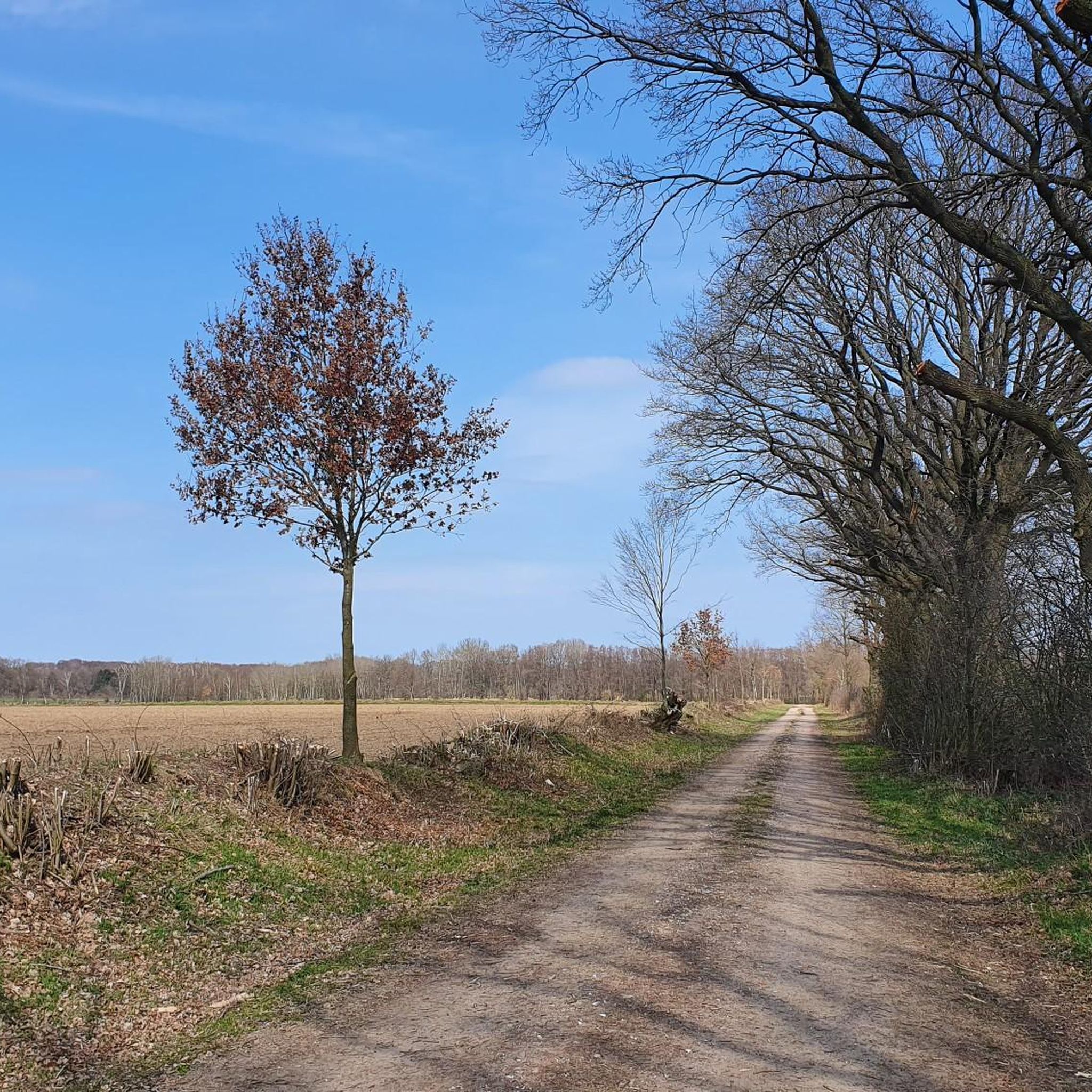
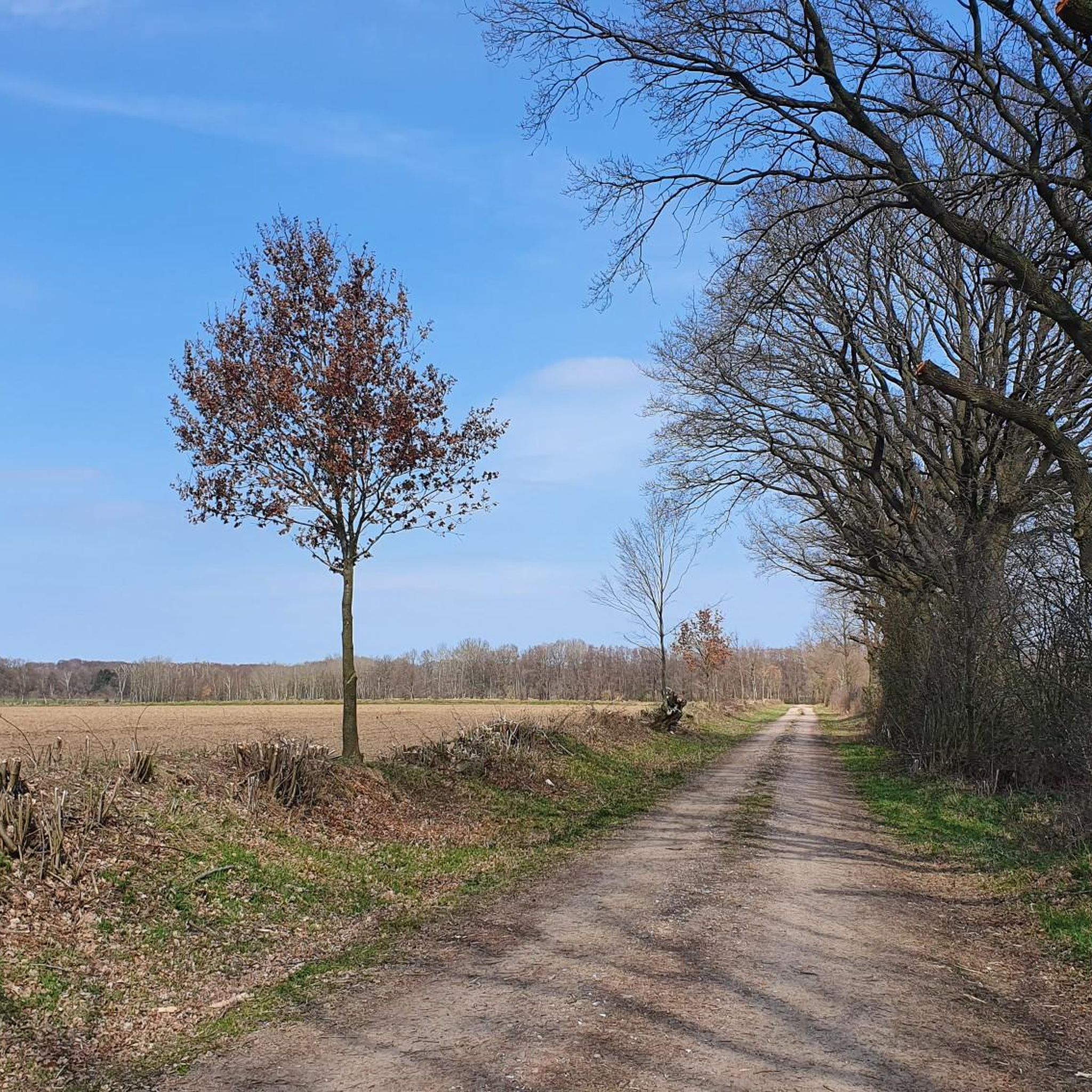
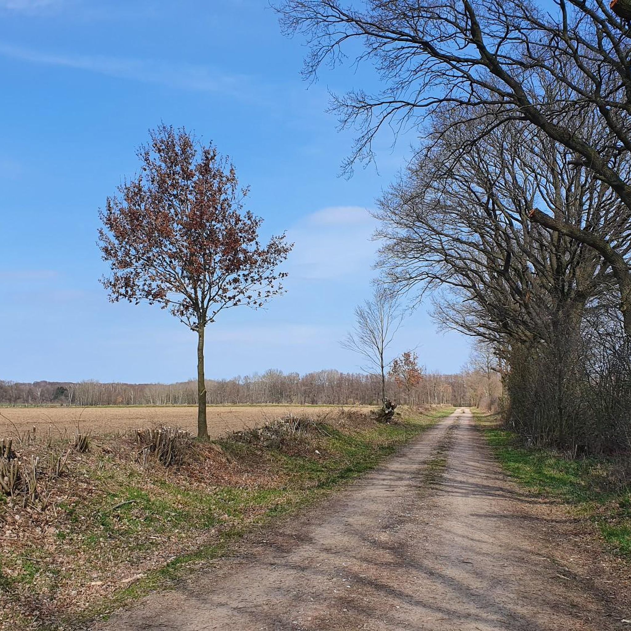
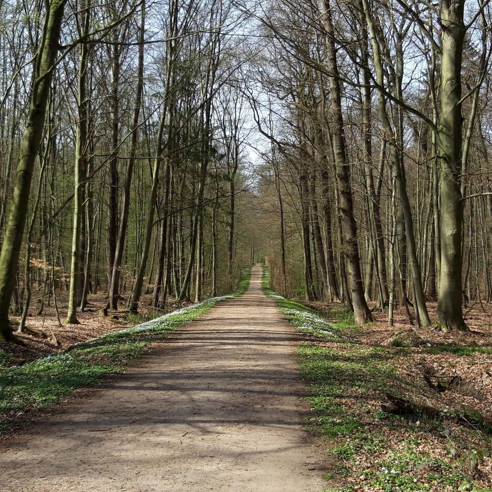
Always worth a hike
0
0
Great to sit and linger
2
0

For everyone who is traveling with children ;)
0
0
In this small memorial, an upright boulder stands on a natural stone base, bearing inscriptions with the names of the eight soldiers who died in the First World War. Atop the boulder rests a steel helmet, and on a plaque in front of it are the names of the six soldiers who died in the Second World War. The inscription on the stone reads: "To the honor of the warriors, for the instruction of posterity. To our local residents who fell in the World War 1914-18, in gratitude. "Dedicated by the community." I find it very important to remember these terrible events so that they are not forgotten and hopefully become a thing of the past. www.denkmalprojekt.org/2022/grove_krs-hzgt-lauenburg_wk1_wk2_sh.html
8
7
In a small complex there is an erect erratic boulder with inscriptions on a natural stone base, on which are the 8 names of the war dead of the First World War. On the top of the erratic boulder is a steel helmet and on a plaque in front of it are the names of the 6 war dead of the Second World War. The inscription on the stone reads: To honor warriors, to teach posterity. Ours in the world wars 1914-18 fallen locals in gratitude. Dedicated by the community http://www.denkmalprojekt.org/2022/grove_krs-hzgt-lauenburg_wk1_wk2_sh.html
5
5

Thus still a direct connection between Schwarzenbek and Grove
4
0
Frequently Asked Questions
How many hiking trails are available around Grove?
Grove offers a wide selection of hiking opportunities, with over 480 routes to explore. These trails range from easy strolls through open fields to more moderate paths around tranquil water bodies.
Are there many easy hiking trails suitable for beginners or casual walkers?
Yes, Grove is particularly well-suited for easy hikes. Over 280 of the available routes are classified as easy, featuring gentle terrain and low elevation changes, perfect for a relaxed outdoor experience.
What kind of scenery can I expect on hikes around Grove?
Hiking around Grove is characterized by gentle terrain, open fields, and tranquil water bodies. You'll often find trails meandering past village ponds and through rural landscapes, offering peaceful views of natural and agricultural settings.
Are there any circular walks around Grove?
Many trails in Grove are designed as circular routes, allowing you to start and end at the same point. For example, the Rosenrotweg Through the Fields – Village Pond Grove loop from Grove is a popular circular option that takes you through open fields and past a village pond.
What do other hikers say about the trails in Grove?
The hiking routes in Grove are highly rated by the komoot community, with an average score of 4.6 stars from over 1700 reviews. Hikers often praise the accessible nature of the trails and the peaceful, rural scenery.
Are there any family-friendly hiking options in Grove?
Absolutely. Many trails in Grove are ideal for families due to their gentle gradients and low difficulty. The Rosenrotweg Through the Fields – Village Pond Grove loop from Grove is a short, easy walk perfect for families with children, offering a pleasant stroll past a village pond.
Can I find any challenging hikes in the Grove area?
While Grove is known for its gentle terrain, there are a few options for those seeking a bit more challenge. There are 11 routes classified as difficult, and 183 moderate trails, such as the Water Lily Pond Schwarzenbek – Forsthaus Radekamp loop from Schwarzenbek, which offers varied landscapes over a longer distance.
What interesting landmarks or attractions can I see near the hiking trails?
Near the hiking trails, you can explore various points of interest. Consider visiting the Trittau Water Mill or the tranquil Brunstorf Village Pond. For panoramic views, the Langer Otto Observation Tower in the Hahnheide Conservation Area is a notable natural monument.
Are there opportunities for wildlife spotting while hiking in Grove?
Given the region's rural character, with open fields and tranquil water bodies, you may encounter various local wildlife. Keep an eye out for birds around the village ponds and small mammals in the fields and wooded areas.
Are there any trails accessible by public transport in Grove?
While specific public transport details for each trailhead are best checked locally, many trails in Grove are located near villages and towns, potentially offering access points within walking distance of public transport stops. It's advisable to check local bus schedules for routes connecting to trail starting points.
What is the best time of year to go hiking in Grove?
The gentle terrain and varied landscapes of Grove make it suitable for hiking throughout much of the year. Spring and autumn offer pleasant temperatures and beautiful scenery with blooming flowers or colorful foliage. Summer is also enjoyable, especially around the water bodies, while winter can provide a unique, quiet experience, though some paths might be muddy or require appropriate footwear.
Are there any hidden gem walks around Grove that are less crowded?
To discover less crowded paths, consider exploring some of the numerous shorter, local loops that might not be as widely known as the main routes. Trails like the Rosenrotweg Through the Fields loop from Schwarzenbek offer a peaceful experience through open landscapes, often with fewer hikers.
Most popular attractions around Grove

Get inspired with the komoot mobile app


Explore more
Browse the best Hikes in other regions.
