The best MTB trails around Grünebach
4.6
(6349)
15,605
riders
595
rides
Mountain bike trails around Grünebach offer varied landscapes with diverse trail options, catering to different skill levels. The region features challenging climbs and fast descents through forests and open countryside. Riders can expect routes with notable viewpoints and varied topography. The area provides a range of mountain biking experiences, from moderate trails to more demanding paths.
Best mountain bike trails around Grünebach
- The most popular mountain bike trail is Otto Tower – View of Siegerland and Siegen loop from Grünebacherhütte…
Last updated: October 9, 2026
4.6
(93)
198
riders
Moderate mountain bike ride. Good fitness required. Suitable for all skill levels.
4.8
(40)
87
riders
Moderate mountain bike ride. Good fitness required. Advanced riding skills necessary.

4.8
(53)
99
riders
39.3km
03:41
990m
990m
Hard mountain bike ride. Very good fitness required. Advanced riding skills necessary. Some portions of the route may require you to push your bike.
4.6
(22)
62
riders
Moderate mountain bike ride. Good fitness required. Suitable for all skill levels.
4.7
(48)
94
riders
36.7km
02:54
630m
630m
Moderate mountain bike ride. Good fitness required. Suitable for all skill levels.
Get access to more routes and recommendations from other explorers.
Already have an account?
Our route recommendations are based on thousands of hikes, rides, and runs completed by other people on komoot.
Start today with a free account
Your next adventure awaits.
Tips from the Community

Very beautifully located fishing water and very well-maintained by the bike path.
0
0

Esswerk Weitfeld, good food, fair prices, great location
0
0


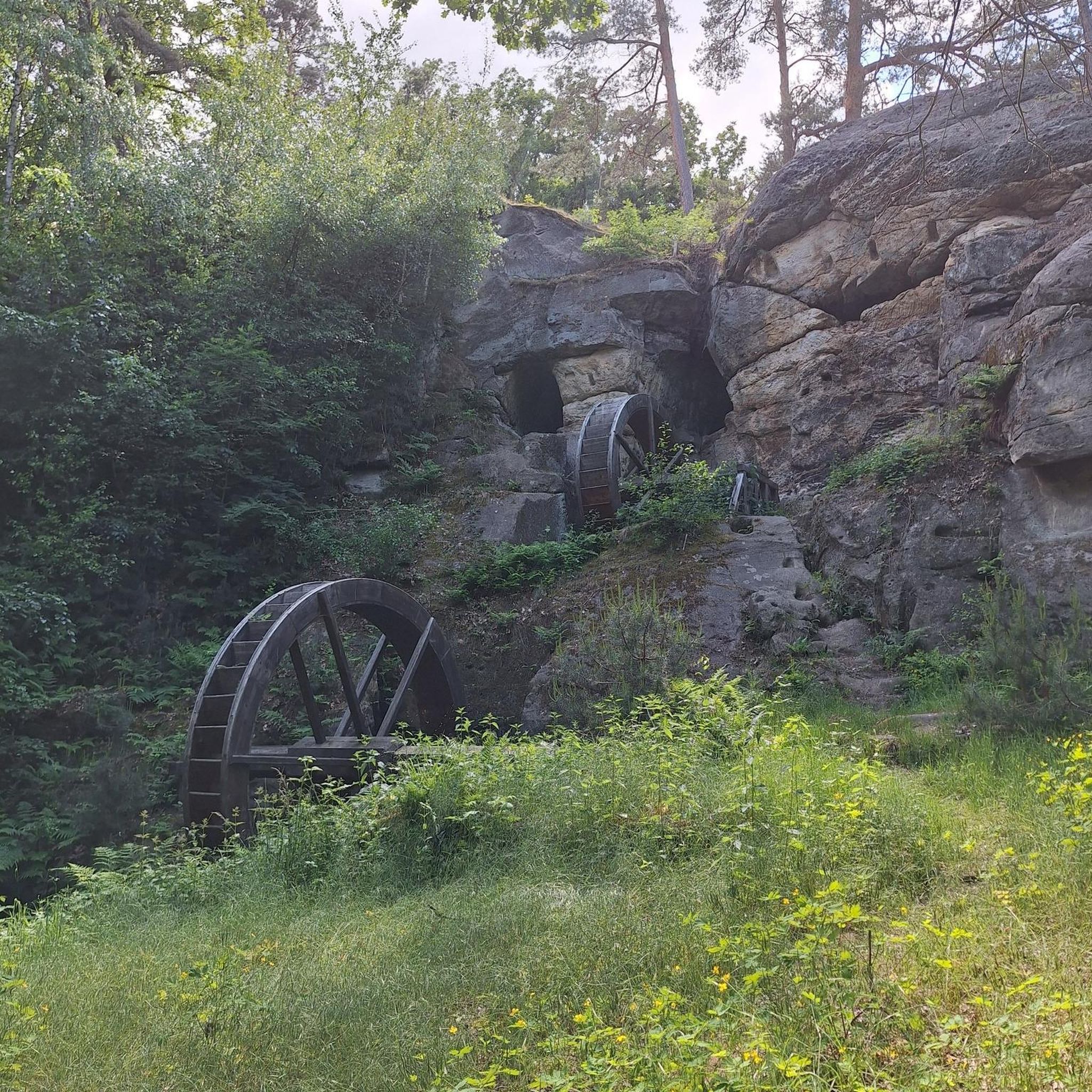
The Speckberg / Schlirrerweg rest area is a popular junction and resting place for hikers in the Westerwald / Siegerland region. It is located in the municipality of Brachbach (Rhineland-Palatinate), directly on the border with Herdorf, on the so-called "called" "Speckberg" "spiderweb" of paths. Interesting facts about the rest area + Historic hollow way: Access is via the historic Schlirrerweg. In this steep hollow way, miners used to transport iron ore with carts into the valley. To this day, the deep tracks of the braking devices (iron shoes) ground into the rock can be seen in the ground. + Amenities: Several benches invite visitors to linger. In addition, the Brachbach local history association has erected a replica of a historic ore cart there under a protective shelter. + Path junction: The rest area marks the highest point of the main path, where five paths converge in a star shape.
0
0

A beautiful path and resting places are also available at regular intervals.
0
0

Great break spot 😉 are here again and gladly recommend it
0
0

However, you also need the right weather for it.. it is often overcast
4
0

Great panoramic view of Siegen, the Siegtal Bridge of the A45 and beyond.
0
0
Frequently Asked Questions
What types of mountain bike trails can I find around Grünebach?
Grünebach offers a diverse range of mountain bike trails, from gentle paths to challenging steep single trails. You'll find routes with varied topography, including challenging climbs and fast descents through forests and open countryside. The region caters to all skill levels, with options for easy, moderate, and difficult rides.
How many mountain bike trails are available in the Grünebach area?
There are over 580 mountain bike trails around Grünebach listed on komoot. This includes more than 110 easy routes, over 370 moderate trails, and around 90 difficult paths, ensuring options for every rider.
Are there any family-friendly mountain bike trails in Grünebach?
Yes, Grünebach offers over 110 easy mountain bike trails that are suitable for families or beginners. These routes typically feature less challenging terrain and elevation, allowing for a more relaxed riding experience. While specific 'family-friendly' routes aren't explicitly named, the easy trails provide a good starting point.
What are some challenging mountain bike routes for experienced riders?
For experienced riders seeking a challenge, Grünebach offers around 90 difficult mountain bike trails. These routes feature more demanding terrain, significant elevation changes, and technical sections. An example of a moderate route that provides a good workout is Otto Tower – View of Siegerland and Siegen loop from Grünebacherhütte, which covers 34.8 km with over 720 meters of elevation gain.
Are there circular mountain bike routes in the Grünebach region?
Yes, many of the mountain bike trails around Grünebach are designed as circular routes, allowing you to start and end at the same point. Examples include the popular Almpädchen Section 3 – View of Westerwald Countryside loop from Alsdorf (Westerwald) and the View of the Siebengebirge – Elkenrother Weiher loop from Schutzbach, both offering scenic loops through the landscape.
What natural attractions or viewpoints can I find along the trails?
The Grünebach area is rich in natural attractions and offers numerous viewpoints. You can ride past beautiful lakes like Elkenrother Weiher or the Rosenheimer Lay Basalt Lake. Notable natural monuments include the impressive Druid's Stone. Many routes, such as the Otto Tower loop, offer expansive views of the Siegerland region and the Westerwald countryside.
What is the best time of year for mountain biking in Grünebach?
The spring, summer, and autumn seasons are particularly recommended for mountain biking in Grünebach. During these months, you'll experience mild temperatures and vibrant natural scenery, which greatly enhances the riding experience. While winter mountain biking is possible, conditions can be more challenging due to weather.
Can I bring my dog on the mountain bike trails in Grünebach?
While many trails in the region are generally accessible, it's always best to check local regulations and trail signage regarding dogs. Some trails might require dogs to be on a leash, especially in nature reserves or near wildlife. Always ensure your dog is well-behaved and doesn't disturb other trail users or wildlife.
Are there places to eat or refuel near the mountain bike trails?
Yes, the Grünebach region has various amenities. You can often find cafes, pubs, and restaurants in the villages and towns along or near the trails. For example, the Forest restaurant at Hohenseelbachskopf is a notable spot that could be a good stop during a ride.
What do other mountain bikers say about the trails in Grünebach?
The mountain bike trails around Grünebach are highly rated by the komoot community, with an average score of 4.7 stars from over 5,600 reviews. Riders often praise the varied landscapes, challenging climbs, and fast descents through forests and open countryside, highlighting the diverse and engaging experience the region offers.
Is there parking available at the trailheads?
While specific parking details for every trailhead are not provided, it is generally common to find designated parking areas in or near the starting points of popular mountain bike routes in regions like Grünebach. Look for signs indicating 'Wanderparkplatz' or 'Parkplatz' in villages or at key access points.
How can I get to the mountain bike trails using public transport?
Public transport options, such as train stations in nearby towns like Betzdorf or Kirchen, can provide access to the Grünebach region. From these points, you might be able to cycle to the trailheads. It's advisable to check local bus routes and train services for their bike transport policies and schedules to plan your journey effectively.
Most popular routes around Grünebach
Most popular attractions around Grünebach

Get inspired with the komoot mobile app


Explore more
Browse the best MTB trails in other regions.
