The best walks and hikes in Araucanía
4.8
(299)
2,038
hikers
18
hikes
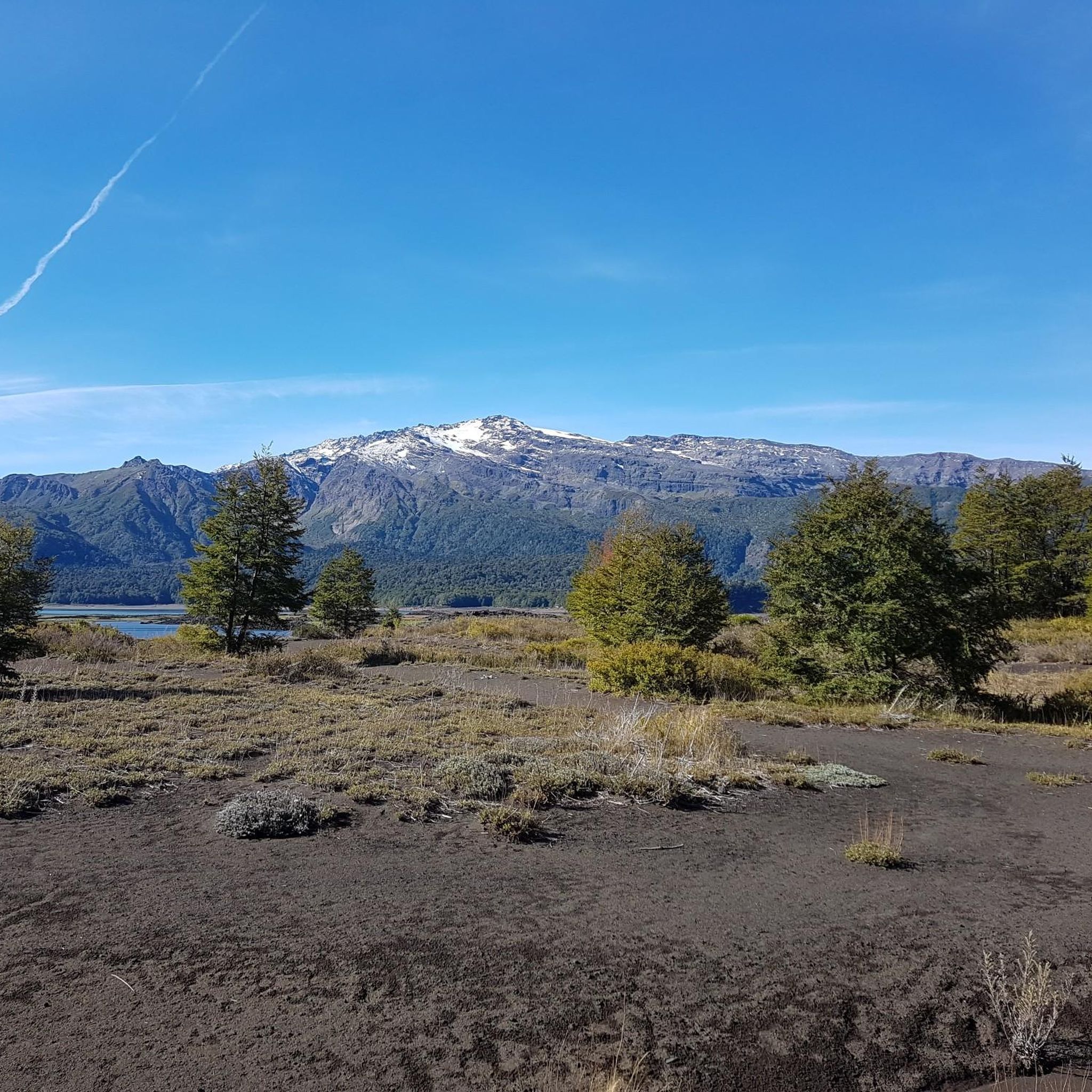
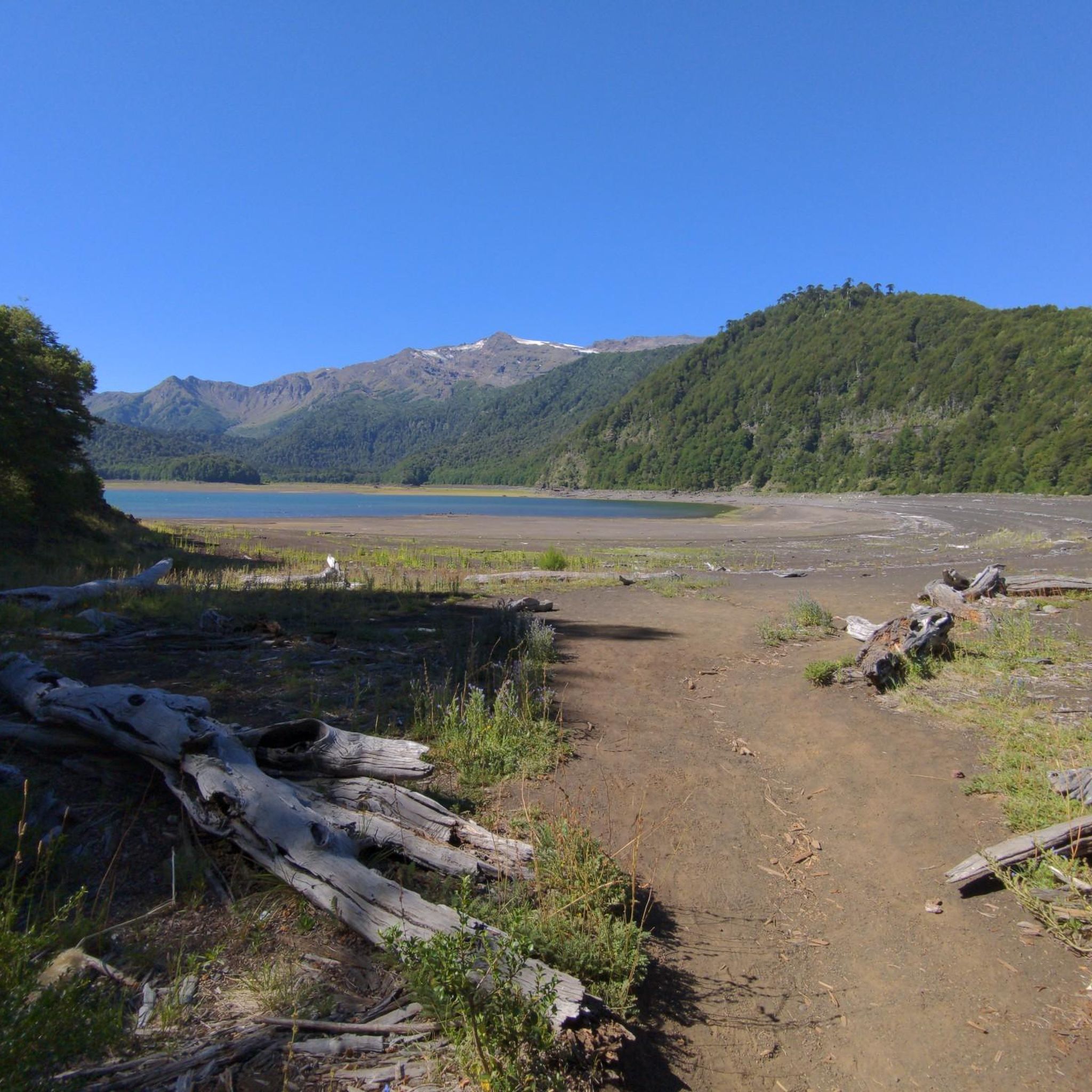
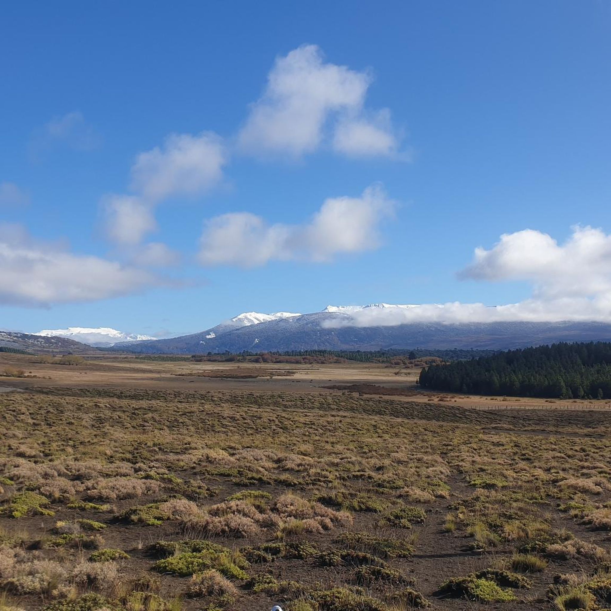
Hiking in Araucanía offers diverse terrain characterized by dramatic volcanic landscapes, ancient araucaria forests, and pristine lakes. The region is home to several national parks, including Conguillío, Huerquehue, and Villarrica, which protect unique ecosystems. Hikers can explore trails ranging from gentle lakeside paths to challenging ascents of active volcanoes, providing varied experiences across its natural features.
Best hiking trails in Araucanía
- The most popular hiking route is Sendero los lagos de Huerquehue — Parque Nacional Huerquehue, a 7.8 miles (12.6 km) trail that takes 4 hours 24 minutes to complete. This route winds through native forests and past several beautiful lakes within Huerquehue National Park.
- Another top favourite among local hikers is Los Lagos Trail, a moderate 6.7 miles (10.8 km) path. It features scenic views of mountain lakes and ancient araucaria trees.
- Local hikers also love the Sendero San Sebastián — Parque Nacional Huerquehue, a 8.8 miles (14.2 km) trail leading through the varied landscapes of Huerquehue National Park, often completed in about 5 hours 54 minutes.
- Hiking in Araucanía is defined by volcanic peaks, ancient araucaria forests, and numerous lakes. The network offers options for easy strolls, moderate day hikes, and challenging multi-day treks, catering to different ability levels.
- The routes in Araucanía are highly rated by the komoot community with an average score of 4.8 stars from over 250 reviews. More than 1800 hikers have used komoot to explore Araucanía's varied terrain.
Last updated: July 21, 2026
4.7
(78)
542
hikers
12.6km
04:25
640m
640m
Moderate hike. Good fitness required. Easily-accessible paths. Suitable for all skill levels.
4.6
(60)
315
hikers
10.8km
03:50
560m
560m
Moderate hike. Good fitness required. Easily-accessible paths. Suitable for all skill levels.

Sign up for free
4.9
(21)
156
hikers
14.2km
05:55
1,170m
1,170m
Hard hike. Very good fitness required. Easily-accessible paths. Suitable for all skill levels.
5.0
(15)
169
hikers
9.23km
05:28
1,390m
1,390m
Hard hike. Very good fitness required. Easily-accessible paths. Suitable for all skill levels.
4.8
(18)
99
hikers
6.26km
01:58
270m
270m
Easy hike. Great for any fitness level. Easily-accessible paths. Suitable for all skill levels.
5.0
(15)
71
hikers
19.4km
05:50
580m
580m
Hard hike. Very good fitness required. Easily-accessible paths. Suitable for all skill levels.
5.0
(5)
51
hikers
13.7km
07:05
1,230m
1,230m
Hard hike. Very good fitness required. Sure-footedness, sturdy shoes and alpine experience required.
5.0
(2)
21
hikers
10.0km
04:14
870m
870m
Moderate hike. Good fitness required. Easily-accessible paths. Suitable for all skill levels.
4.3
(3)
4
hikers
5.87km
01:49
230m
230m
Easy hike. Great for any fitness level. Easily-accessible paths. Suitable for all skill levels.
4.8
(37)
360
hikers
16.3km
06:24
1,150m
1,150m
Hard hike. Very good fitness required. Easily-accessible paths. Suitable for all skill levels.
Get access to more routes and recommendations from other explorers.
Sign up for free
Already have an account?
Our route recommendations are based on thousands of hikes, rides, and runs completed by other people on komoot.
Start today with a free account
Your next adventure awaits.
Login or Signup


Other adventures in Araucanía

Tips from the Community


The Los Cráteres viewpoint offers a direct view of a row of parasitic craters, between 5 and 10 meters in diameter, where lava flowed in both directions, leaving folds and hollows that are now interspersed with invasive vegetation. Some craters are heavily eroded, while others retain clear shapes, creating a striking geological landscape. It is essential to obtain tickets from pasesparques.cl before arriving, as the area is not always well-connected.
1
0
The Fillkungüe Lookout features a wooden platform offering panoramic views of the Zanjón Seco and Correntoso Valleys, as well as Lakes Caburgua and Huilipilún. From here, you can also see the Llaima Volcano and the Sollipulli snow-capped peaks, creating a sweeping and highly photogenic landscape. It's the perfect spot for a relaxing break; bring a light jacket as it can be a bit windy.
0
0
The view of the Villarrica volcano allows you to appreciate its perfectly symmetrical cone and, on clear days, the contrast between the snow-capped summit and the surrounding forests. It's a very photogenic spot and easy to spot along the route. It's advisable to bring sun protection and a light jacket, as the weather can change quickly in this area.
0
0

Throughout the entire trail, the views of the Villarrica volcano will never cease to impress you, with its snowy peak and mineral surroundings.
0
0
Around the Villarrica volcano, we can observe this type of terrain shaped by lava from ancient eruptions.
0
0
From here you have unbeatable views of the Voipir Glacier and the summit of the Villarrica volcano. The path is tough, but it's definitely worth it.
0
0
You've reached the summit of San Sebastián Hill, from where you can clearly see the Villarrica volcano in the distance. The spot definitely deserves a good photo.
0
0
Frequently Asked Questions
How many hiking trails are available in Araucanía?
Araucanía offers a diverse range of hiking experiences with over 18 routes documented on komoot. These trails cater to various skill levels, from easy strolls to challenging multi-day treks, allowing you to explore the region's dramatic volcanic landscapes, ancient araucaria forests, and pristine lakes.
What do other hikers enjoy most about the trails in Araucanía?
The hiking trails in Araucanía are highly rated by the komoot community, with an average score of 4.8 stars from over 250 reviews. Hikers frequently praise the breathtaking volcanic scenery, the unique ancient araucaria forests, and the serene beauty of the region's many lakes and waterfalls.
Are there easy hiking trails suitable for beginners or families in Araucanía?
Yes, Araucanía has several easy trails perfect for beginners or families. For example, the Mirador Los Cráteres Trail offers an accessible path through volcanic landscapes. Another great option is the Estero El Carmelito en el Parque Nacional Villarrica – circular, which is an easy circular route within Villarrica National Park.
Which trails offer the best views of Araucanía's volcanoes?
For iconic volcanic views, consider challenging trails like the Subida al Volcán Villarrica — Ida y vuelta, which provides panoramic vistas from one of Chile's most active volcanoes. The Quetrupillán Volcano Trail also offers challenging ascents with rewarding views of its glacier-filled caldera and surrounding peaks.
Where can I find ancient araucaria forests on a hike?
Ancient araucaria (monkey puzzle) forests are a distinctive feature of Araucanía. You can experience them on trails within Conguillío National Park and Huerquehue National Park. The Los Lagos Trail in Huerquehue National Park is an excellent choice, winding through these unique trees and past pristine mountain lakes.
Are there any circular hiking routes in Araucanía?
Yes, there are circular routes available. The Estero El Carmelito en el Parque Nacional Villarrica – circular is an easy circular option. For a more challenging loop with stunning viewpoints, consider the View from Mirador del Cañi – Between Two Lagoons loop from Huife-Pucon.
What are some notable natural landmarks or attractions to see along the trails?
Araucanía's trails often lead to spectacular natural landmarks. You can encounter beautiful lakes like Chico Lake and Toro Lagoon. The region is also home to impressive waterfalls, such as Salto del Río Salto, and the dramatic Villarrica Crater.
What is the best time of year for hiking in Araucanía?
The best time for hiking in Araucanía is generally during the warmer months, from late spring to early autumn (roughly November to April). During this period, trails are more accessible, and the weather is more favorable for exploring the national parks, volcanoes, and lakes. Some areas, like Malalcahuello National Reserve, also offer winter trekking and skiing opportunities.
Are there any long-distance or challenging multi-day hikes in the region?
Yes, Araucanía offers challenging multi-day treks for experienced hikers. Trails like the Sendero Lagos Andinos — Parque Nacional Villarrica provide a longer, more demanding experience through diverse landscapes. The ascent of Villarrica Volcano also presents a significant challenge, typically requiring local guides.
Which national parks are best for hiking in Araucanía?
Araucanía boasts several excellent national parks for hiking. Huerquehue National Park is renowned for its lakes, waterfalls, and ancient araucaria forests, with trails like Sendero los lagos de Huerquehue. Conguillío National Park offers 'story-like' landscapes with araucaria forests and lava valleys. Villarrica National Park provides trails with views of snow-capped peaks and access to hot springs.
Are there opportunities to relax in hot springs after a hike?
Absolutely! Araucanía is rich in natural hot springs, providing a perfect way to relax after a day on the trails. Popular options include the Geometric Hot Springs, Huife, Quimey-Co, and San Luis. Many are located conveniently near national parks like Villarrica, making them easily accessible for post-hike rejuvenation.
What kind of wildlife might I encounter while hiking?
While hiking in Araucanía's national parks, you might encounter diverse native fauna. Conguillío National Park, for instance, protects species such as pumas and black woodpeckers. Keep an eye out for various bird species and other native animals, especially in the more secluded forest areas.
Most popular attractions in Araucanía

Get inspired with the komoot mobile app


Didn’t find what you were looking for?
Check out more Hikes throughout Araucanía below and find the perfect route in your destination.
Explore more
Browse the best Hikes in other regions.
