The best walks and hikes in Cundinamarca
4.7
(203)
2,438
hikers
50
hikes
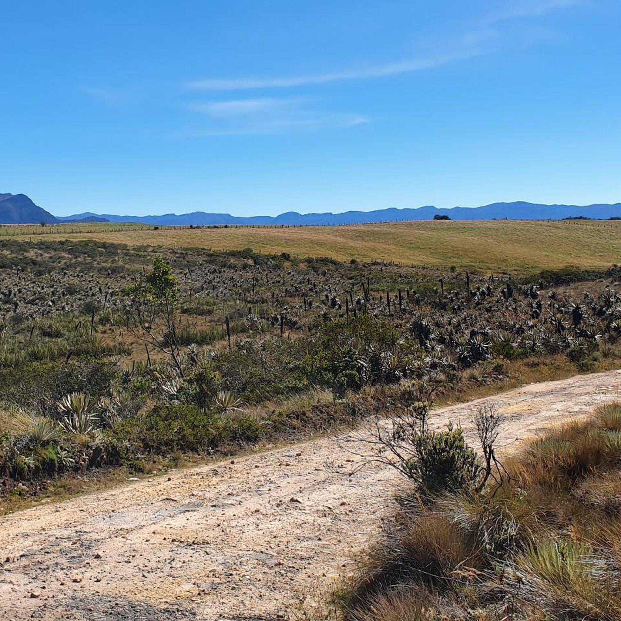
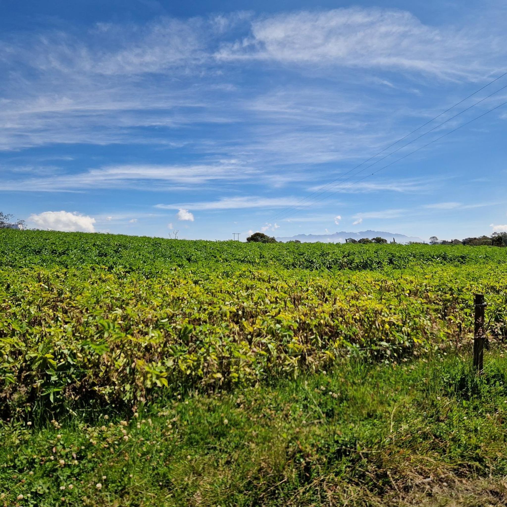
Hiking in Cundinamarca offers diverse terrain within Colombia's Andean region, characterized by the Eastern Cordillera. The landscape features high-altitude páramo ecosystems, lush Andean forests, and sub-páramo environments. This department is defined by its mountains, hills, and numerous waterfalls, providing varied natural settings for outdoor activities.
Best hiking trails in Cundinamarca
- The most popular hiking route is Alto de Patios and Mirador Aguadora Loop, a 6.1 miles (9.9 km) trail that takes about 2 hours 56 minutes to complete. This…
Last updated: October 24, 2026
4.5
(2)
7
hikers
9.90km
02:57
310m
310m
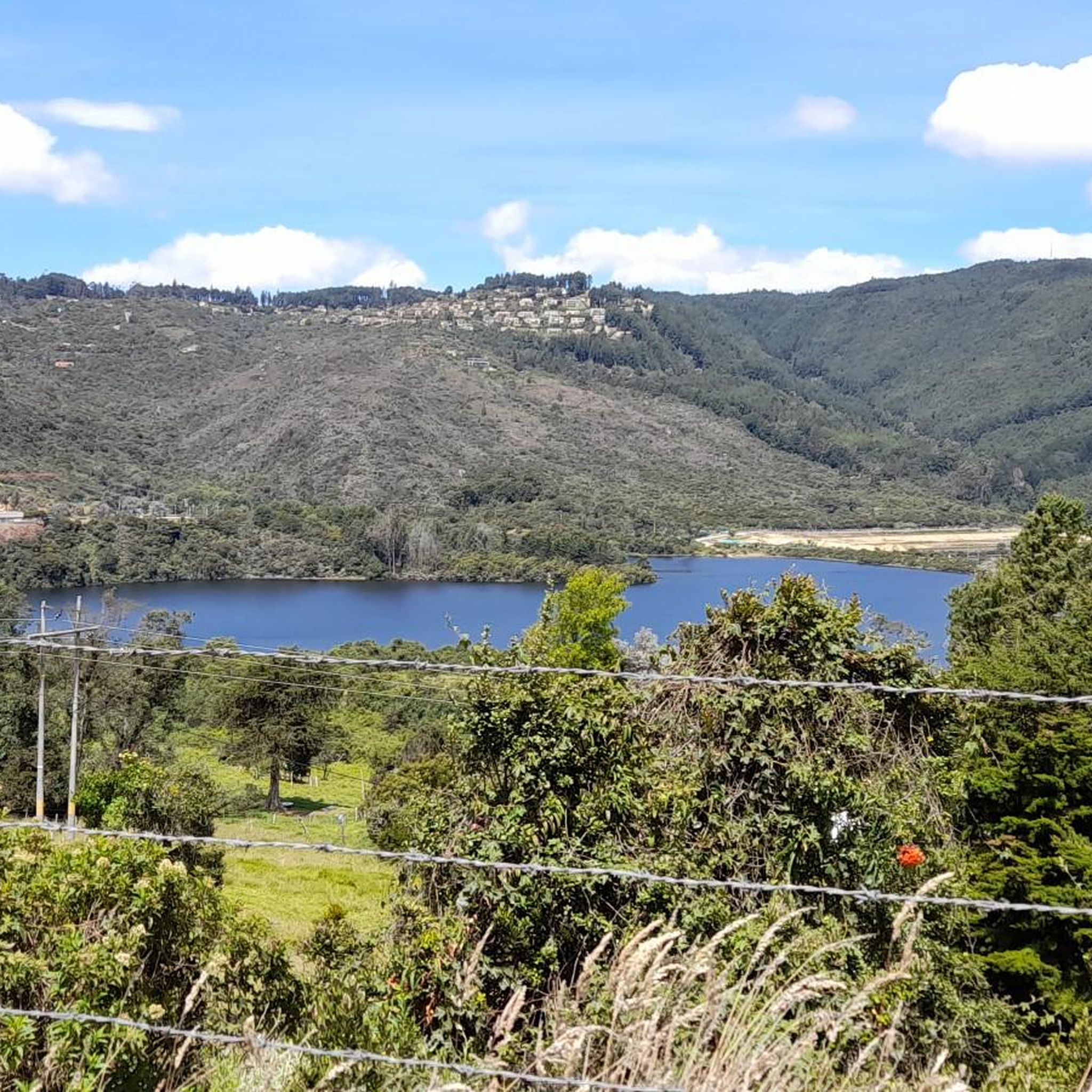
Hike a moderate 6.2-mile loop from Alto de Los Patios to scenic views of the San Rafael Reservoir, gaining 1020 feet in 2h 56m.
5.0
(4)
95
hikers
5.52km
01:34
130m
130m
Easy hike. Easily walkable paths.

4.6
(8)
76
hikers
9.01km
03:29
630m
630m
Moderate hike. Good fitness required. Easily walkable paths.
5.0
(14)
43
hikers
Moderate hike. Good fitness required. Mostly walkable paths. Sure-footedness required.
50
hikers
4.98km
01:29
160m
160m
Easy hike. Easily walkable paths.
4.8
(8)
26
hikers
9.39km
02:53
300m
300m
Moderate hike. Good fitness required. Easily walkable paths.
4.8
(4)
29
hikers
12.2km
03:39
350m
350m
Moderate hike. Good fitness required. Easily walkable paths.
5.0
(2)
10
hikers
8.91km
03:28
460m
460m
Moderate hike. Good fitness required. Mostly walkable paths. Sure-footedness required.
8
hikers
15.9km
04:56
600m
590m
Moderate hike. Good fitness required. Easily walkable paths.
4.0
(1)
11
hikers
9.69km
02:58
280m
280m
Moderate hike. Good fitness required. Easily walkable paths.
Get access to more routes and recommendations from other explorers.
Already have an account?
Our route recommendations are based on thousands of hikes, rides, and runs completed by other people on komoot.
Start today with a free account
Your next adventure awaits.
Other adventures in Cundinamarca


Tips from the Community

"Guatavita La Nueva" was rebuilt in 1964-67 on the slope above the lake - completely in white colonial style with red bricks, wooden balconies. The town is located 75 km northeast of Bogotá at an altitude of 2668m and has approx. 7000 inhabitants (2010 in the town center). The ruins of the old village in the lake can still be glimpsed during low water. Sights today: Pueblo: White colonial architecture, narrow streets - pure show village but very well maintained. Main square, Nuestra Señora de los Dolores church, town hall. Embalse de Tominé: Sailing, surfing, fishing (trout), boat tours, horseback riding, paragliding, glamping around. Plaza de Toros / Plaza de Colombia: Small bullring, today handicrafts + view but no more corridas. Crafts & Food: Weekend market, ceramics, wool ruanas. Specialty: trout from the reservoir, mazamorra, postres. Please do not confuse the reservoir with Laguna de Guatavita (sacred El Dorado lake), which is 10km further away,
0
0
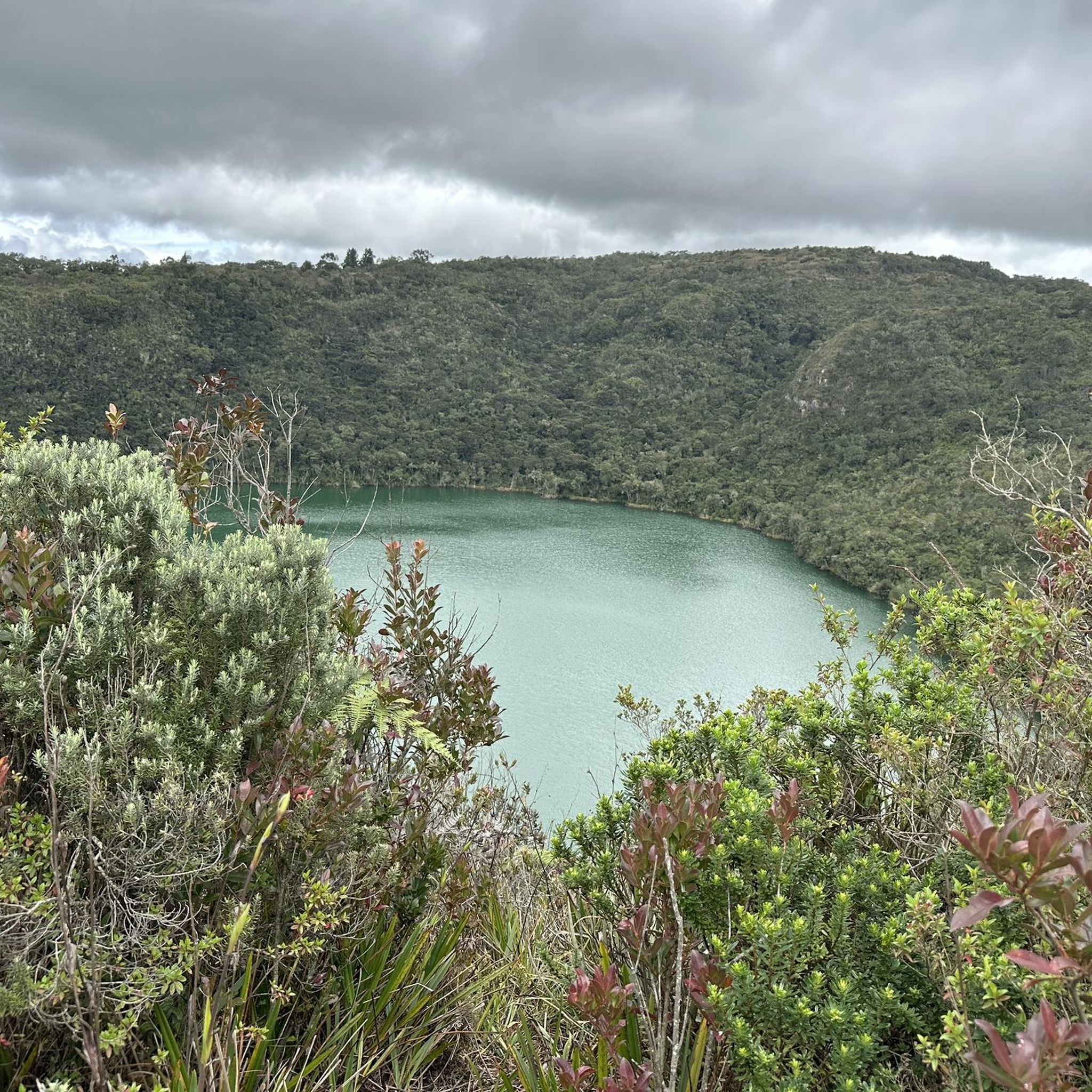
The lagoon is framed by slopes whose inclination varies between 32 and 38 degrees, It is mainly fed by underground water currents shaped by the subpáramo vegetation. Approximate diameter: 400 x 300m Volume: 2,000,000 m3 Average depth: 25 to 30m Flora: Several species of algae that determine its color. Fauna: Fish known as "Guapucha" Water quality: Slightly alkaline
0
0
From Meta AI *Plaza de Toros de Guatavita* - also called Plaza de Colombia. Located right in the new colonial village (the old Guatavita is in the reservoir). - Small, round arena in colonial style, with souvenir shops upstairs - Previously, *Festival taurino* was regularly held - e.g. on November 6, 2011, with figures like Jairo Antonio "El Elegido del Arte", Leonidas Manrique, Cristóbal Pardo - announced at the time as "Guatavita resumes bullfighting shows after several years" - Locals say today: "they don't hold corridas in it, according to the locals" - so no real corridas for a long time, the arena is open to tourists, with handicrafts on the 2nd floor. Anyway, the topic is over since the national ban in 2024/2027. The arena can be viewed for free, it's more worth it for the architecture and view than for bullfighting history.
0
0

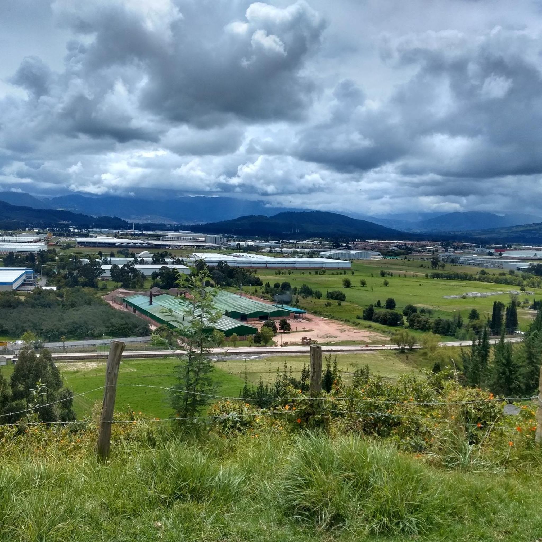
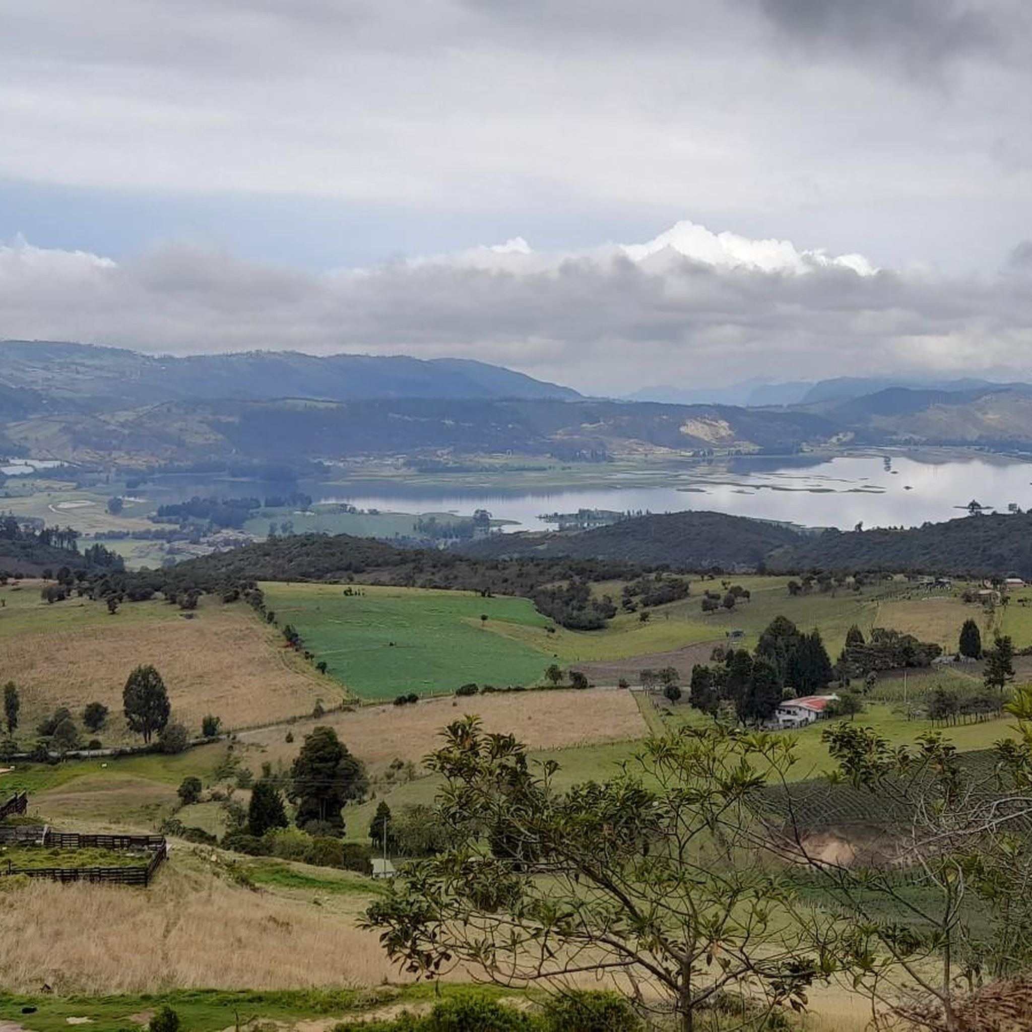
It's worth going up to the Aguadora viewpoint; the views of the city from here are breathtaking.
0
0
From here you can see the San Rafael reservoir and the beautiful natural surroundings. The green of the forest contrasts with the blue of the sky and the water.
0
0
Alto de los Patios offers countless dining options to enjoy Bogotá's sporting atmosphere. The area is usually very busy.
1
0


It is a road with a lot of vehicular flow, be careful!!! up there many places to have breakfast
1
0
Frequently Asked Questions
How many hiking trails can I find in Cundinamarca?
Cundinamarca offers over 50 hiking routes, catering to various skill levels. You'll find everything from easy strolls to more challenging ascents through diverse landscapes, including high-altitude páramos and lush Andean forests.
Are there hiking trails that feature waterfalls in Cundinamarca?
Yes, Cundinamarca is known for its impressive waterfalls. You can explore trails leading to natural wonders like Tequendama Falls, El Chiflón Waterfall, and La Virginia Waterfall. The region also boasts La Chorrera, Colombia's tallest waterfall, accessible via a trail through Andean forest.
What kind of terrain and natural features can I expect on Cundinamarca's hiking routes?
The region's trails traverse a rich variety of landscapes, from high-altitude páramo ecosystems and high Andean forests to sub-páramo environments. You'll encounter mountains, hills, and numerous lakes and reservoirs like Neusa Reservoir and Lake Guatavita, offering diverse scenery and rich biodiversity.
Are there any easy hiking trails suitable for beginners or families in Cundinamarca?
Yes, Cundinamarca has several easy routes perfect for beginners or families. An excellent option is the Laguna del Verjón loop from Parque Materredonda, an easy 3.4-mile (5.5 km) path that leads through natural landscapes, including a lake.
What is the best time of year to go hiking in Cundinamarca?
Cundinamarca's climate is generally mild due to its elevation. While hiking is possible year-round, the drier seasons, typically from December to March and July to August, offer more pleasant conditions with less rain, making trails more accessible and views clearer. However, always be prepared for changing mountain weather.
Are there any circular hiking routes in Cundinamarca?
Yes, many routes in Cundinamarca are designed as loops, offering varied scenery without retracing your steps. Examples include the Alto de Patios and Mirador Aguadora Loop, the Parque ecológico Chicaque loop from Cascajal, and the Laguna de Peña Azul – Cerro de Bocatorta loop.
What do other hikers enjoy most about hiking in Cundinamarca?
The hiking routes in Cundinamarca are highly rated by the komoot community, with an average score of 4.7 stars. Hikers often praise the diverse natural beauty, from high Andean forests to stunning viewpoints, and the variety of trails suitable for different fitness levels.
Are there any trails that offer panoramic viewpoints?
Absolutely. Many trails in Cundinamarca provide breathtaking panoramic views. For instance, the Alto de Patios and Mirador Aguadora Loop offers views of the surrounding hills, and Pionono Ecological Park is known for its stunning vistas from high elevations.
Can I find trails that lead to lakes or reservoirs?
Yes, Cundinamarca features several beautiful lakes and reservoirs that are popular hiking destinations. You can hike around Lake Guatavita, explore the area around Neusa Reservoir, or discover the Laguna de Peña Azul on a scenic loop trail.
Are there any trails in Cundinamarca that are considered more challenging or advanced?
Yes, for experienced hikers seeking a challenge, Cundinamarca offers several difficult routes. These often involve significant elevation gain and longer distances, such as the The Gate of Heaven – View of Embalse de Tominé loop from Guatavita, which covers over 15 km with substantial ascent.
Are there any specific parks or protected areas I should explore for hiking?
Cundinamarca is home to several significant protected areas ideal for hiking. Chingaza National Natural Park offers diverse trails and rich biodiversity, while Sumapaz National Park, the world's largest páramo, provides a unique high-altitude ecosystem experience. Pionono Ecological Park is another excellent choice for ecological hikes and panoramic views.
What kind of wildlife might I encounter on the trails?
Due to its diverse ecosystems, Cundinamarca's trails offer opportunities to observe a variety of wildlife. In the páramo and Andean forests, you might spot unique flora like frailejones, various bird species (especially in areas like Chingaza National Natural Park), and potentially amphibians and reptiles in wetter areas like Quebrada La Vieja.
Most popular routes in Cundinamarca
Most popular attractions in Cundinamarca

Get inspired with the komoot mobile app


Didn’t find what you were looking for?
Check out more Hikes throughout Cundinamarca below and find the perfect route in your destination.
Explore more
Browse the best Hikes in other regions.
