The best MTB trails around Gutsbezirk Kaufunger Wald
4.6
(2962)
7,136
riders
646
rides
Mountain biking around Gutsbezirk Kaufunger Wald offers a diverse landscape characterized by dense forests, rolling hills, and river valleys. The region, part of a natural park in Werra-Meißner-Kreis, features varied terrain suitable for different skill levels. Mountain bike trails here often wind through wooded areas, past scenic viewpoints, and along waterways. The elevation changes provide engaging climbs and descents for mountain bikers.
Best mountain bike trails around Gutsbezirk Kaufunger Wald
- The most popular mountain bike trail is Sonnenbank Rossbach – Chez Nadine Café on the Werra loop from Kleinalmerode, a 17.4 miles (27.9 km) trail that takes 1 hour 59 minutes to complete, following the Werra river through varied landscapes.
- Another top favourite among local mountain bikers is Helsa–Kassel Cycle Path – Gelstertal Viaduct Uengsterode loop from Hohekopf bei Großalmerode, a moderate 21.7 miles (34.9 km) path. This route includes sections of the Helsa–Kassel Cycle Path and passes the Gelstertal Viaduct.
- Local mountain bikers also love the View from Ringkopf – Hydrangea Park Erbsmühle loop from Hohekopf bei Großalmerode, a 19.9 miles (32.1 km) trail leading through forested hills and past the Hydrangea Park, often completed in about 2 hours 3 minutes.
- Mountain biking around Gutsbezirk Kaufunger Wald is defined by dense forests, rolling hills, and scenic river valleys. The network offers options for easy, moderate, and difficult ability levels.
- The routes in Gutsbezirk Kaufunger Wald are highly rated by the komoot community with an average score of 4.6 stars from over 2,700 reviews. More than 7,200 mountain bikers have used komoot to explore Gutsbezirk Kaufunger Wald's varied terrain.
Last updated: July 6, 2026
4.8
(19)
58
riders
28.4km
02:01
440m
440m
Moderate mountain bike ride. Good fitness required. Advanced riding skills necessary.
5.0
(20)
41
riders
31.4km
02:42
570m
570m
Moderate mountain bike ride. Good fitness required. Advanced riding skills necessary.

Sign up for free
4.4
(12)
38
riders
Moderate mountain bike ride. Good fitness required. Suitable for all skill levels.
5.0
(9)
22
riders
Moderate mountain bike ride. Good fitness required. Suitable for all skill levels.
4.7
(36)
122
riders
46.1km
04:25
1,110m
1,110m
Hard mountain bike ride. Very good fitness required. Advanced riding skills necessary.
Get access to more routes and recommendations from other explorers.
Sign up for free
Already have an account?
Our route recommendations are based on thousands of hikes, rides, and runs completed by other people on komoot.
Start today with a free account
Your next adventure awaits.
Login or Signup
Popular around Gutsbezirk Kaufunger Wald

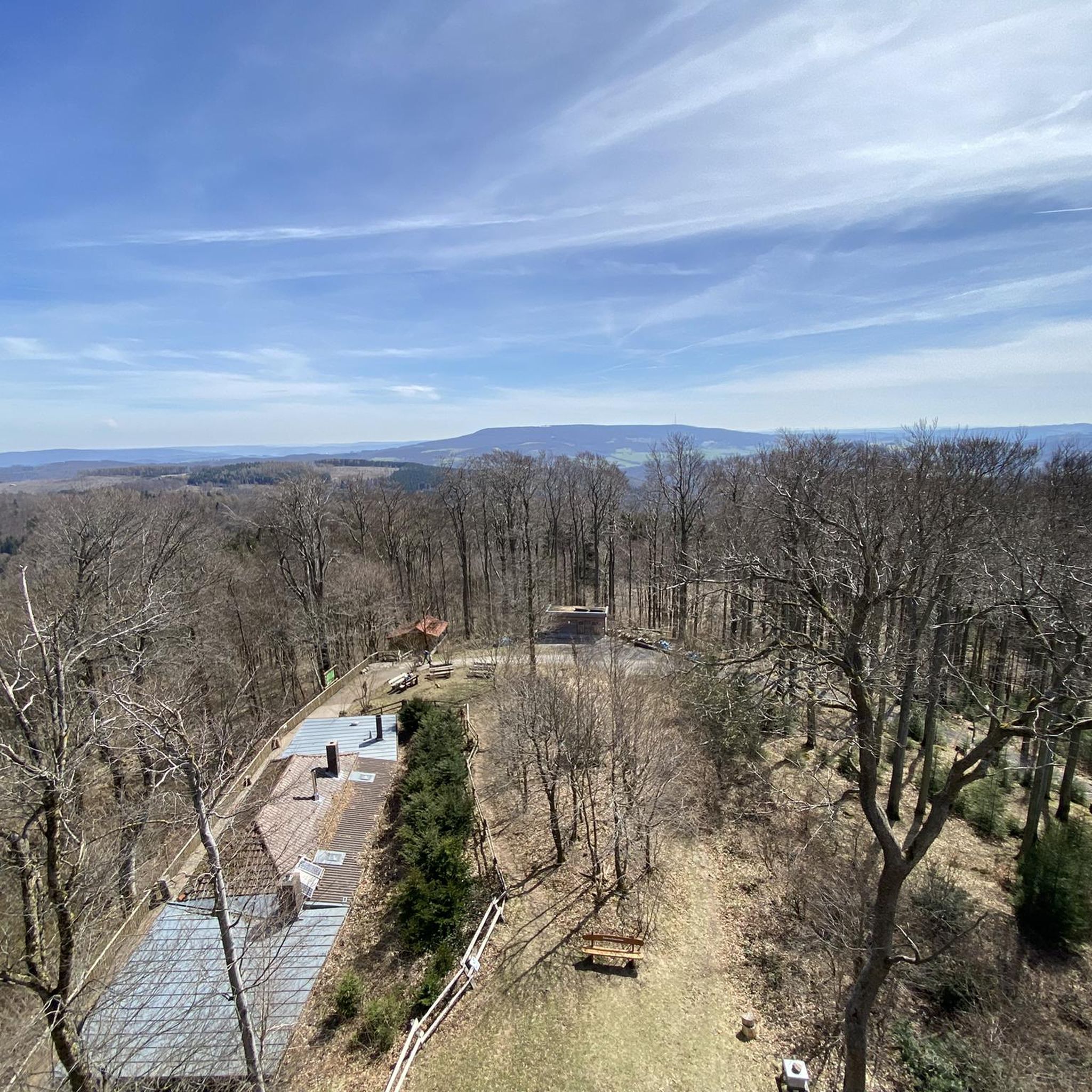
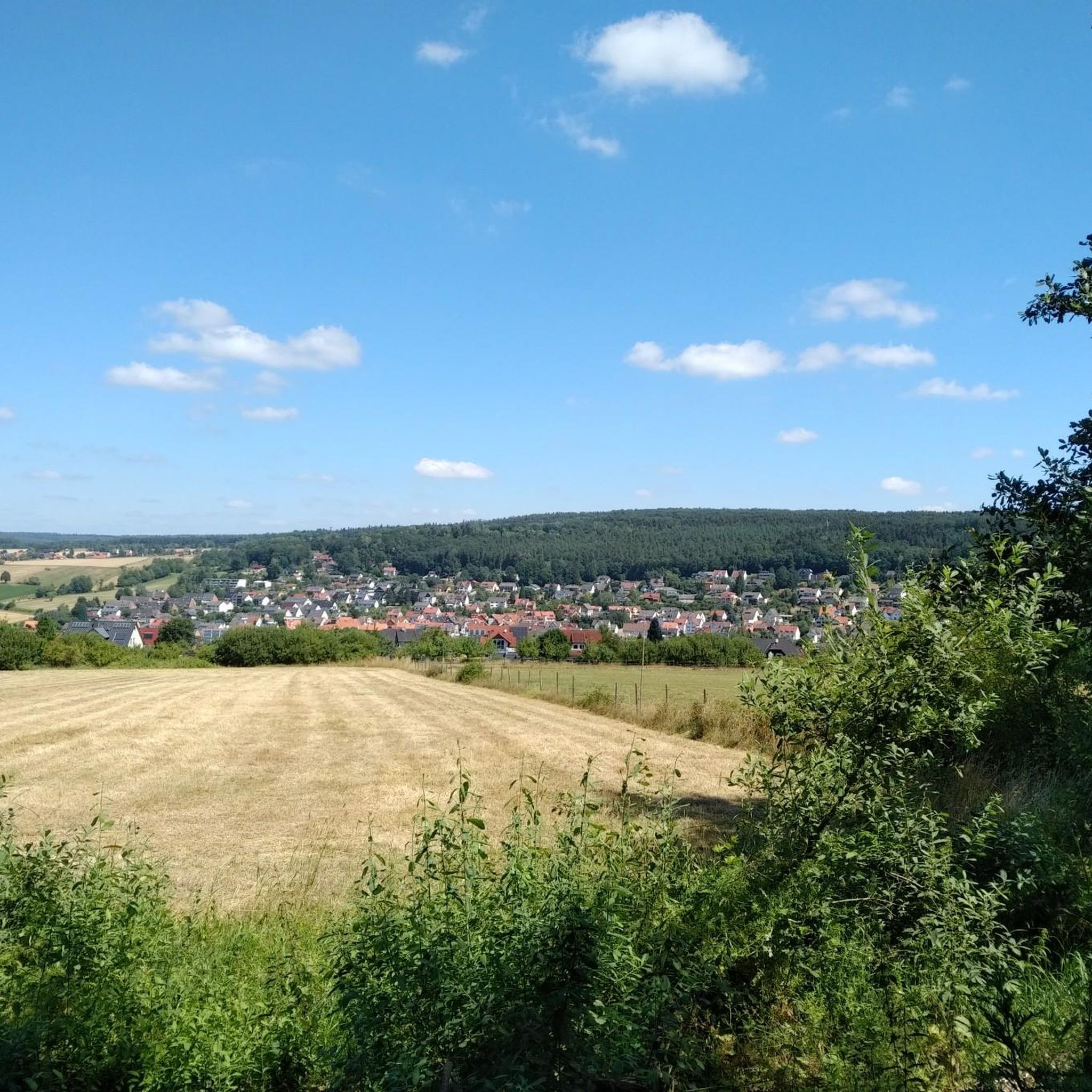
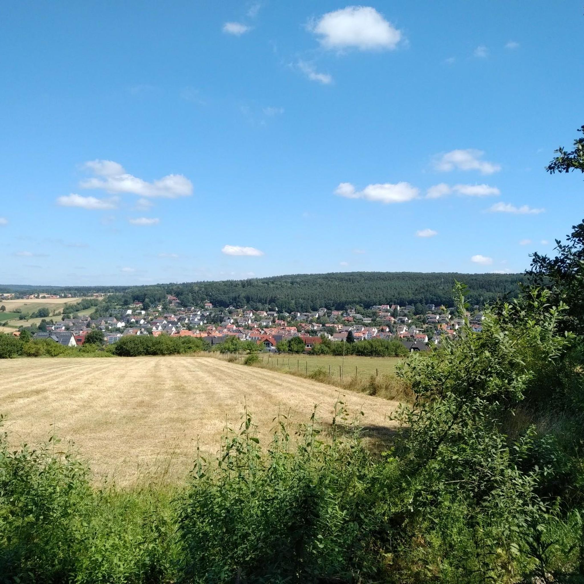
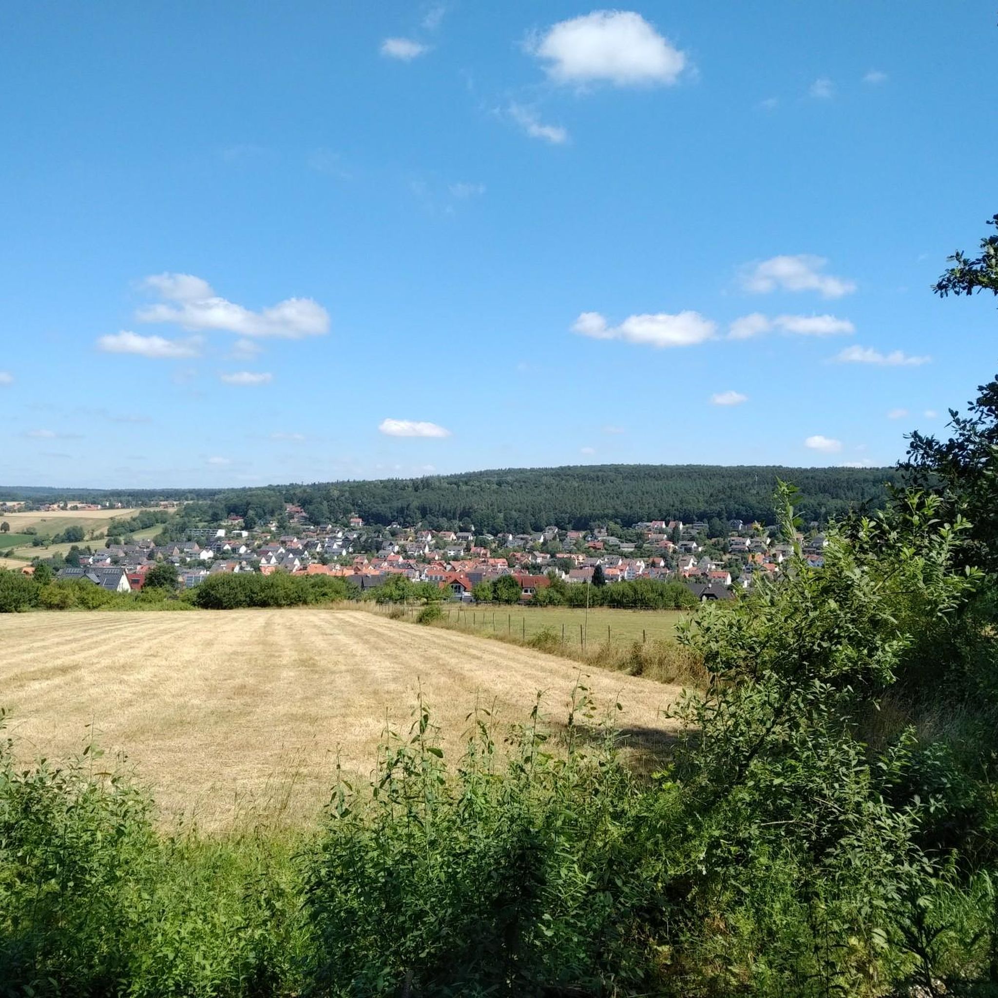
Other adventures around Gutsbezirk Kaufunger Wald

Tips from the Community

The market square, the central square of the old town of Witzenhausen, is dominated by the beautiful historic town hall.
7
1

A well-preserved viaduct of the Gelster Valley Railway, located directly on the cycle path. Here's some more information: The Gelster Valley Railway was opened in 1915, during World War II, and used for passenger and freight transport until 1973. Freight service was discontinued in 1983.
1
1

Beautiful old viaduct directly on the cycle path
1
0

You are in the Frau-Holle-Land Geo-Nature Park, the legendary home of Frau Holle. Here, you can expect extraordinary nature, surprising culture, and diverse geology. Large parts of the park are part of one of Germany's most important biodiversity hotspots and the second-largest FFH area in the country. Between the Kaufunger Forest, the Hoher Meißner, and the Werra Valley, you'll experience a truly spectacular landscape. Over 120 geosites ensure the region's diversity. Frau Holle, the well-known fairytale figure, gives the park its name – numerous legends and myths surround the Hoher Meißner. The choice is yours: Explore the geological, natural, and cultural highlights on 25 certified premium hiking trails, the Werra-Burgen-Steig Hessen, the Werra Valley Cycle Path, or numerous cycling tours. Discover the legendary sites of Mother Holle, the Green Belt, valuable nature reserves, the famous opium poppy blossom, the Witzenhausen cherry country, castles, palaces, and mining history. Over 35 percent of the area in the Werra-Meißner district is designated as a nature reserve. Whether you prefer hiking, cycling, canoeing, or exploring nature and adventure with your family – you'll find your perfect vacation week here. Be inspired and tailor your stay to your wishes.
4
0

Here, too, the line has changed. 😒
1
0
It was easy to cut down, but in the meantime the harvester was working in the lower area 😡
0
0

You need some imagination and the information from the board to imagine its former splendor.
0
1

The Gelstertalbahn crosses the valley on the 80 m long viaduct. The viaduct consists of four round arches. The cycle path offers a very good photo opportunity.
0
1
Frequently Asked Questions
How many mountain bike trails are available in Gutsbezirk Kaufunger Wald?
There are nearly 700 mountain bike trails recorded in Gutsbezirk Kaufunger Wald on komoot. This includes a wide range of options for various skill levels.
What are the difficulty levels of mountain bike trails in the region?
The trails in Gutsbezirk Kaufunger Wald cater to all abilities. You'll find 144 easy routes, 510 moderate routes, and 44 challenging routes designed for experienced riders.
Are there easy mountain bike trails suitable for beginners or families?
Yes, there are 144 easy mountain bike routes in Gutsbezirk Kaufunger Wald, many of which are suitable for beginners or families looking for a less strenuous ride. These often follow gentler terrain through the forests and river valleys.
Where can I find challenging mountain bike trails in Gutsbezirk Kaufunger Wald?
For experienced mountain bikers seeking a challenge, there are 44 difficult routes. One such demanding trail is the Red Lake – Bäckerhölzchen Trail loop from Hohekopf bei Großalmerode, which covers 28.7 miles (46.2 km) with over 3,600 feet (1,100 meters) of elevation gain.
Are there circular mountain bike routes in Gutsbezirk Kaufunger Wald?
Most mountain bike routes in Gutsbezirk Kaufunger Wald are designed as circular loops, allowing you to start and finish at the same point. An example is the View from Ringkopf – Hydrangea Park Erbsmühle loop from Hohekopf bei Großalmerode, which offers a scenic 19.9 miles (32.1 km) ride.
What do other mountain bikers say about the trails in Gutsbezirk Kaufunger Wald?
The mountain bike trails in Gutsbezirk Kaufunger Wald are highly regarded by the komoot community, with an average rating of 4.6 out of 5 stars from over 2,700 reviews. More than 7,200 mountain bikers have explored the region, often praising the diverse landscapes and well-maintained paths.
What natural attractions can I see along the mountain bike trails?
While mountain biking, you can encounter several natural attractions. Highlights include the Red Lake, the Red Nieste Spring, and unique geological formations like the Eulenbäume Natural Monument. The region is part of a natural park, offering rich biodiversity.
Are there any interesting landmarks or viewpoints along the routes?
Yes, you can find several notable landmarks and viewpoints. The Bilstein Tower and Zum Bilstein Lodge offers panoramic views, and the Folding Ruler Sculpture is a unique man-made monument. Many routes also pass through charming villages and historical sites.
Are there places to eat or drink near the mountain bike trails?
Yes, you'll find options for refreshments. The Königsalm, Nieste is a restaurant, and the Bilstein Mountain Inn provides a place to rest and refuel. Some routes, like the Sonnenbank Rossbach – Chez Nadine Café on the Werra loop from Kleinalmerode, even pass by specific cafes.
When is the best time of year for mountain biking in Gutsbezirk Kaufunger Wald?
The spring, summer, and autumn months generally offer the best conditions for mountain biking in Gutsbezirk Kaufunger Wald. The dense forests provide shade in summer, and the autumn foliage is particularly scenic. Always check local weather forecasts before heading out.
What is the longest mountain bike route available in the area?
One of the longer mountain bike routes is the Red Lake – Trail to Bilstein loop from Großalmerode, spanning 30.5 miles (49 km) with significant elevation changes, making it a full-day adventure for many riders.
Most popular routes around Gutsbezirk Kaufunger Wald
Most popular attractions around Gutsbezirk Kaufunger Wald

Get inspired with the komoot mobile app


Explore more
Browse the best MTB trails in other regions.
