The best walks and hikes around Gutweiler
4.5
(10306)
45,177
hikers
18
hikes
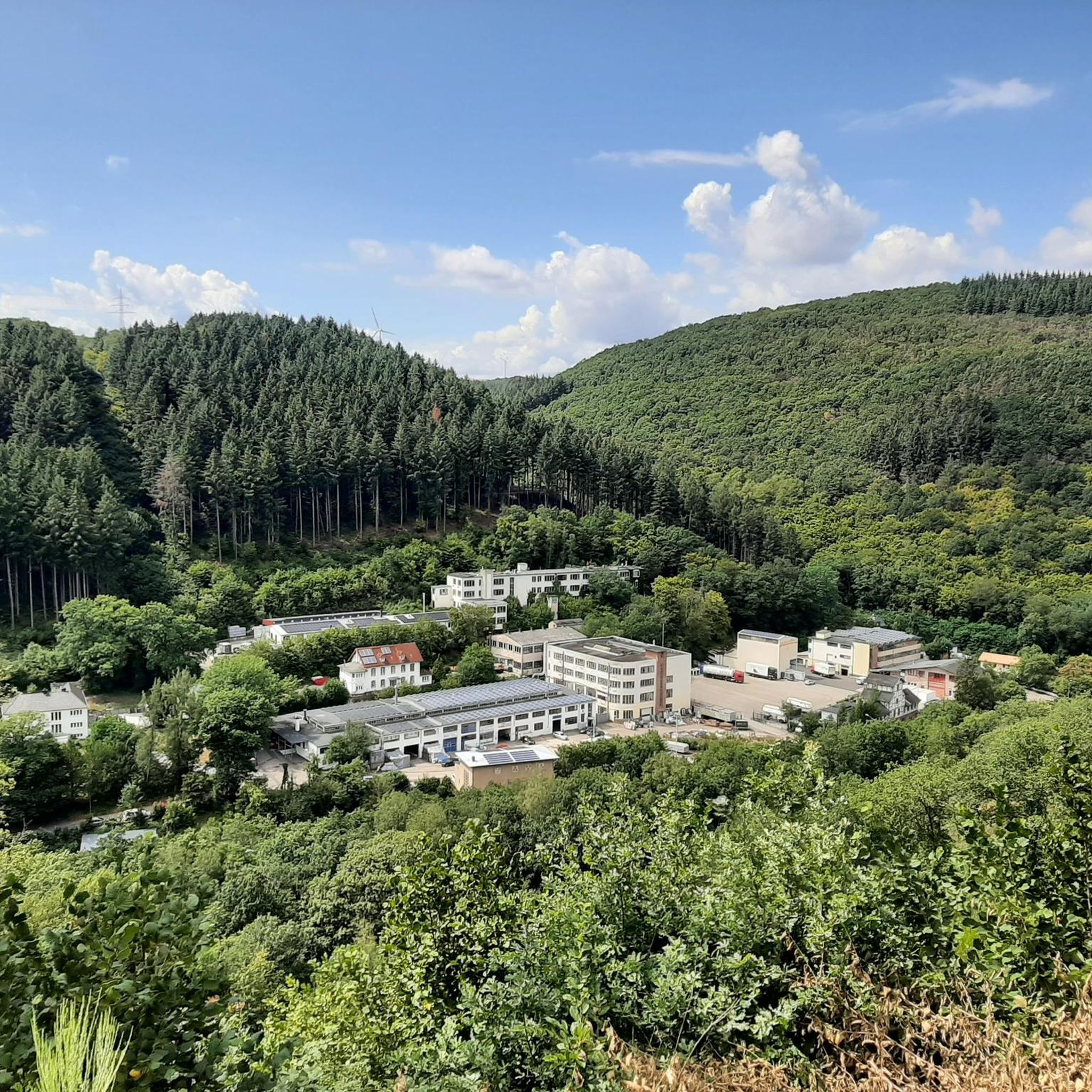
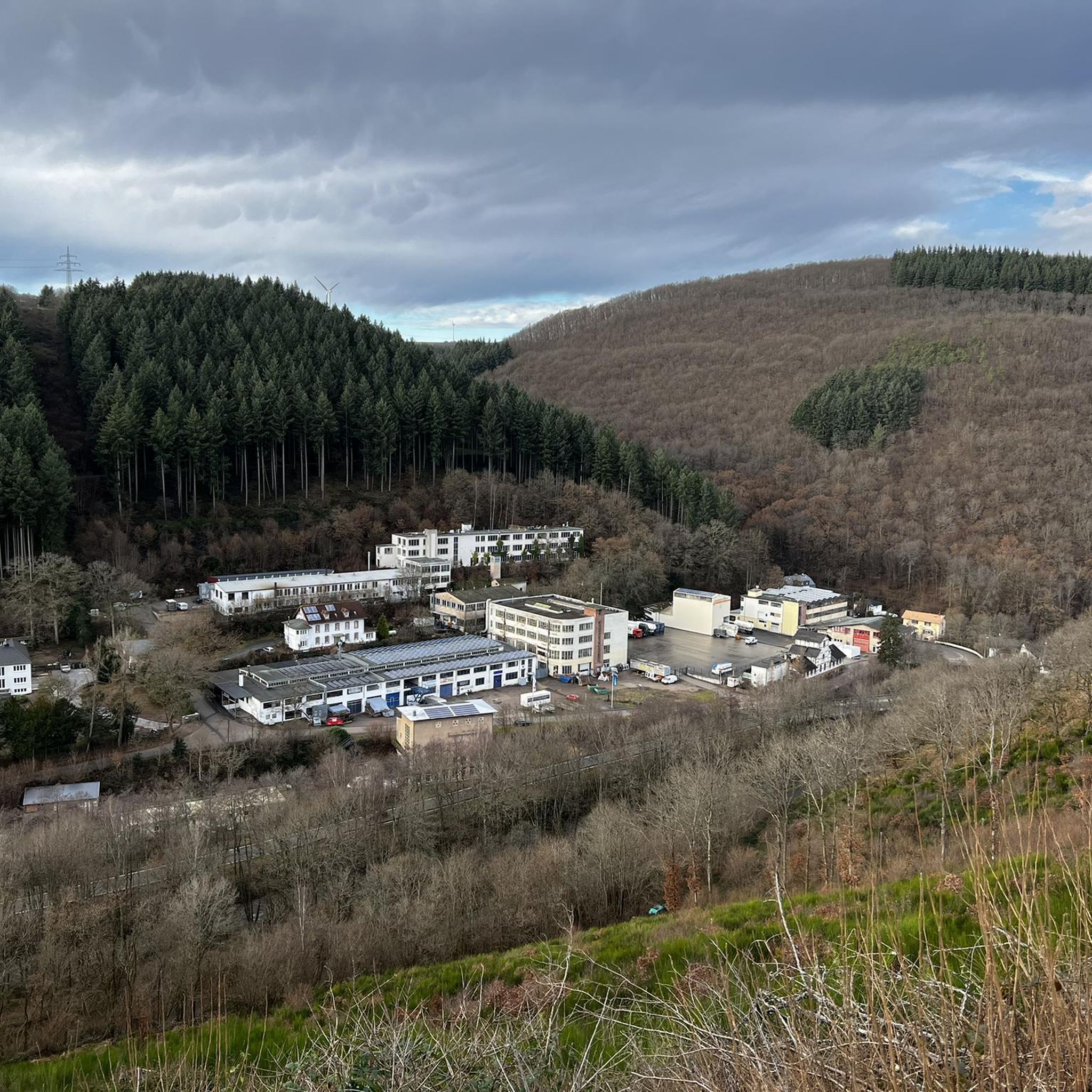
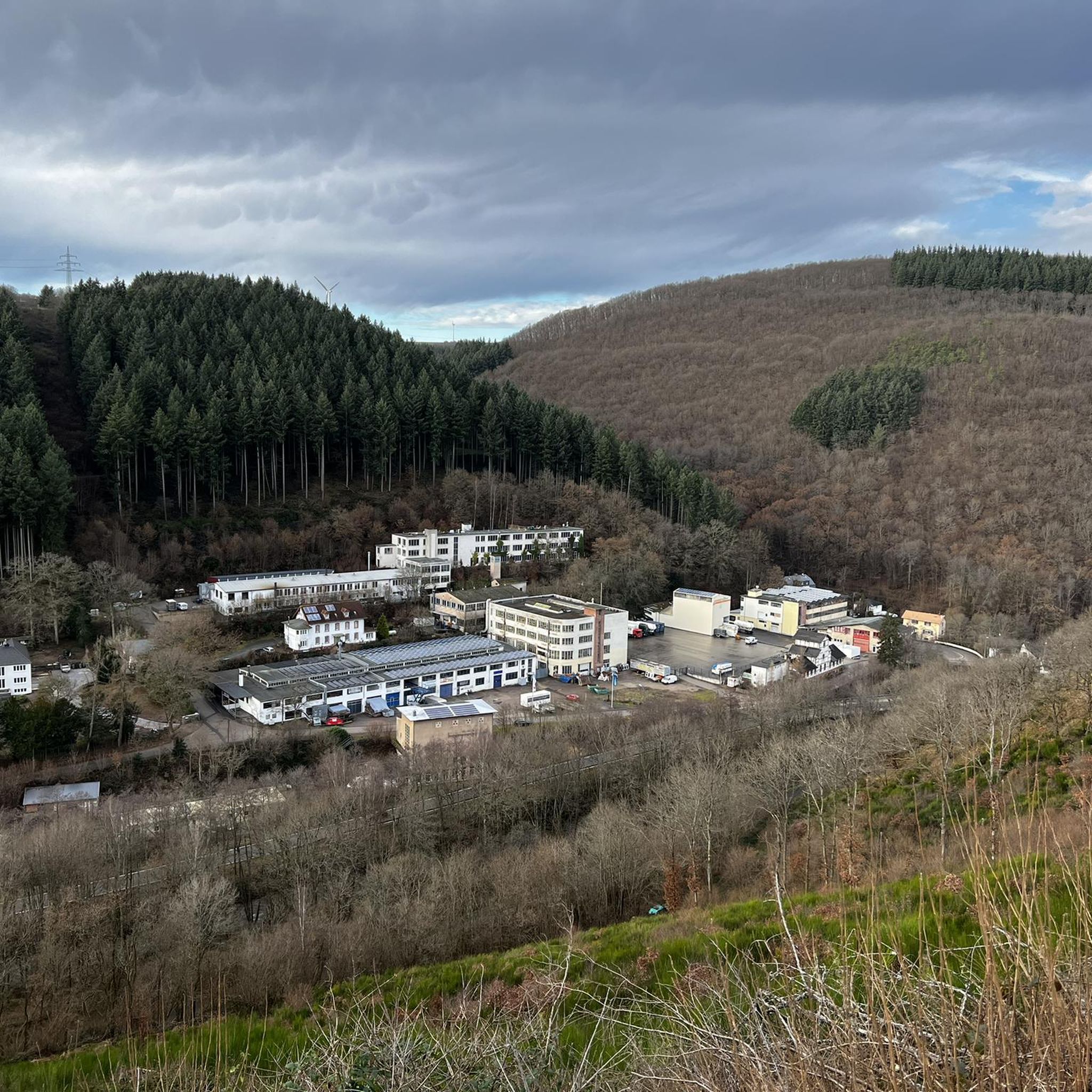
Hiking around Gutweiler offers diverse natural features within the Trier-Saarburg district of Rhineland-Palatinate. The region is characterized by the "astonishingly wild" Ruwer Valley, providing pleasant walking paths alongside historical worker trails. Hikers can experience varied terrain, ranging from easily accessible routes to those with significant elevation changes, and enjoy scenic views of the Eifel landscape. Several historical sites, such as the Sommerau Castle Ruins, are integrated into the local trail network.
Best hiking trails around Gutweiler
- The most popular hiking…
Last updated: October 3, 2026
4.7
(145)
539
hikers
11.7km
03:23
300m
310m
Moderate hike. Good fitness required. Easily-accessible paths. Suitable for all skill levels.
4.3
(3)
14
hikers
Easy hike. Great for any fitness level. Easily-accessible paths. Suitable for all skill levels.

4.7
(3)
16
hikers
9.26km
02:33
160m
150m
Moderate hike. Good fitness required. Easily-accessible paths. Suitable for all skill levels.
10
hikers
Easy hike. Great for any fitness level. Easily-accessible paths. Suitable for all skill levels.
3.0
(1)
11
hikers
Easy hike. Great for any fitness level. Easily-accessible paths. Suitable for all skill levels.
Get access to more routes and recommendations from other explorers.
Already have an account?
Our route recommendations are based on thousands of hikes, rides, and runs completed by other people on komoot.
Start today with a free account
Your next adventure awaits.
Tips from the Community

Beautiful paths right by the gurgling stream 🥰
0
0
Great paths on the Karl May hiking trail
0
0

The Ruwer is always amazingly wild - the path is a nice walk, even if it is a bit too well developed in places (including the cycle path).
4
0

In the mill shop in Sommerau you can find everything a baker's heart desires and delicious muesli!
0
0

Dam on the Ruwer near Sommerau.
1
0

A really nice place. You can stay here a little longer. Despite the fact that some of it looks like it's falling apart, it's very interesting.
0
0

A stay in the pizzeria is always worthwhile. Delicious food and cool blondes
1
0

And Winnetou could stop by at any moment
0
1
Frequently Asked Questions
What kind of terrain can I expect on hikes around Gutweiler?
The Gutweiler area offers diverse terrain, from easily accessible paths suitable for all fitness levels to more challenging routes with significant elevation changes. You'll find pleasant walking paths in the 'astonishingly wild' Ruwer Valley, as well as forested trails and scenic viewpoints overlooking the Eifel landscape.
Are there any easy hiking trails suitable for families or casual walkers?
Yes, Gutweiler has several easy trails. For instance, the Sommerau Castle Ruins – View of Sommerau Castle loop from Gutweiler is an easy 1.9-mile path offering views of the historic ruins. Overall, there are 11 easy routes available, making it suitable for various ability levels.
What do other hikers enjoy most about the trails in Gutweiler?
The hiking trails around Gutweiler are highly rated by the komoot community, with an average score of 4.5 stars from over 4000 reviews. Hikers often praise the diverse natural features, the scenic views of the Eifel landscape, and the well-maintained paths through the Ruwer Valley.
Are there any circular hiking routes in Gutweiler?
Yes, many of the trails around Gutweiler are designed as loops. For example, the popular Ruwer River – Karl May Open-Air Stage Pluwig loop from Gutweiler is a moderate 7.2-mile circular route exploring the Ruwer Valley. Another option is the Memorial cross at Galgenkopf – Galgenkopf loop from Gutweiler, which is a 5.8-mile loop through forested paths.
What historical sites or landmarks can I see along the hiking trails?
Several routes integrate historical sites. The Sommerau Castle Ruins – View of Sommerau Castle loop from Gutweiler offers views of the historic Sommerau Castle Ruins. Additionally, the RuT6 themed trail in Sommerau focuses on the history of usage in the Ruwer valley, combining nature with local heritage.
Are there any caves or lakes to explore near Gutweiler?
Yes, the region around Gutweiler features interesting natural attractions. You can explore various caves and former mines, such as the Friedrichstollen Thomm or the Barbara-Hoffnung Slate Mine in Thomm. For lakes, the Keller Reservoir and Riveris Reservoir are notable nearby options.
What is the best time of year to go hiking in Gutweiler?
Gutweiler offers pleasant hiking experiences throughout much of the year. Spring and autumn provide comfortable temperatures and beautiful scenery with blooming flowers or vibrant fall foliage. Summer is also suitable, especially for shaded routes in the Ruwer Valley. Winter hiking is possible, but conditions may vary, so checking local weather is advisable.
Are there any challenging hikes for experienced trekkers?
While Gutweiler offers many easy and moderate routes, some trails feature significant elevation changes, providing a good challenge. For a longer and more strenuous option, the 'Kuesselt Loop via MTB Beaufort-Berdorf' is a substantial 24.3-mile loop mentioned in regional research, though it's primarily a mountain biking route, sections might appeal to experienced hikers.
Is Gutweiler well-connected by public transport for hikers?
Gutweiler is a municipality in the Trier-Saarburg district, and public transport options, including bus routes, connect it to surrounding areas. For specific routes and schedules to reach trailheads, it's recommended to check local public transport information for the Trier-Saarburg district.
Are there places to eat or drink near the hiking trails in Gutweiler?
As a charming municipality, Gutweiler and its surrounding villages offer local cafes and restaurants where hikers can refuel. While specific establishments directly on every trailhead are not guaranteed, you'll find options within the villages to enjoy a meal or a drink after your hike.
Can I bring my dog on the hiking trails in Gutweiler?
Generally, dogs are welcome on hiking trails in Germany, including those around Gutweiler. However, it's always recommended to keep your dog on a leash, especially in nature reserves, near livestock, or in crowded areas, and to clean up after them. There are no specific restrictions mentioned for the Gutweiler trails.
Where can I find parking for hiking trails in Gutweiler?
Parking is typically available near trailheads or in the village centers of Gutweiler and neighboring communities. Look for designated hiking parking areas or public parking lots. Specific parking information for individual routes can often be found on detailed trail descriptions or local tourism websites.
Most popular routes around Gutweiler
Most popular attractions around Gutweiler

Get inspired with the komoot mobile app


Explore more
Browse the best Hikes in other regions.
