The best running trails in Amatitlán
4.2
(11)
329
runners
5
runs
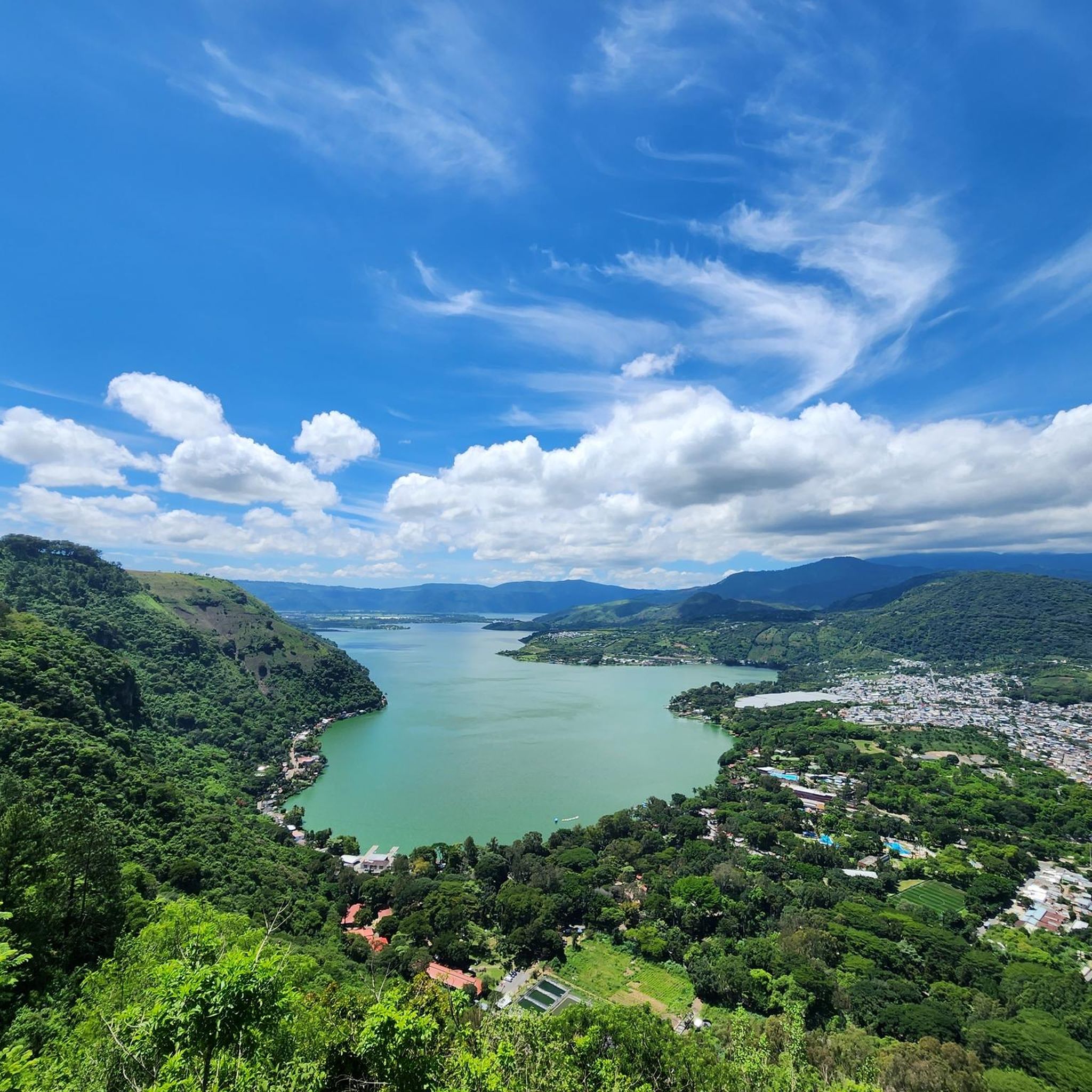
Jogging in Amatitlán offers diverse routes through the Central Highlands of Guatemala, characterized by its natural landscapes. The region features the volcanic crater Lake Amatitlán, surrounded by hills and offering views of volcanoes like Pacaya, Agua, and Fuego. The Parque Nacional Naciones Unidas provides extensive green spaces with trails suitable for running. These natural features contribute to varied terrain and scenic backdrops for outdoor activities.
Best jogging routes in Amatitlán
- The most popular jogging route is IGSS Descent loop from…
Last updated: July 5, 2026
4.0
(1)
43
runners
14.3km
01:45
440m
440m
Hard run. Very good fitness required. Mostly paved surfaces. Suitable for all skill levels.
20
runners
15.0km
01:34
140m
140m
Hard run. Very good fitness required. Mostly paved surfaces. Suitable for all skill levels.

Sign up for free
14
runners
15.6km
02:33
910m
910m
Hard run. Very good fitness required. Mostly paved surfaces. Suitable for all skill levels.
19
runners
10.8km
01:07
70m
70m
Moderate run. Good fitness required. Mostly paved surfaces. Suitable for all skill levels.
3
runners
7.45km
01:09
450m
460m
Hard run. Very good fitness required. Mostly paved surfaces. Suitable for all skill levels.
Our route recommendations are based on thousands of hikes, rides, and runs completed by other people on komoot.
Start today with a free account
Your next adventure awaits.
Login or Signup
Popular around Amatitlán

Frequently Asked Questions
What kind of terrain can I expect on running routes in Amatitlán?
Running routes in Amatitlán are characterized by volcanic landscapes and varied terrain. You'll encounter trails with significant elevation changes, offering a challenging experience. The region's natural features, including hills and views of volcanoes, contribute to the diverse running environment.
Are there scenic views or natural landmarks along the running trails in Amatitlán?
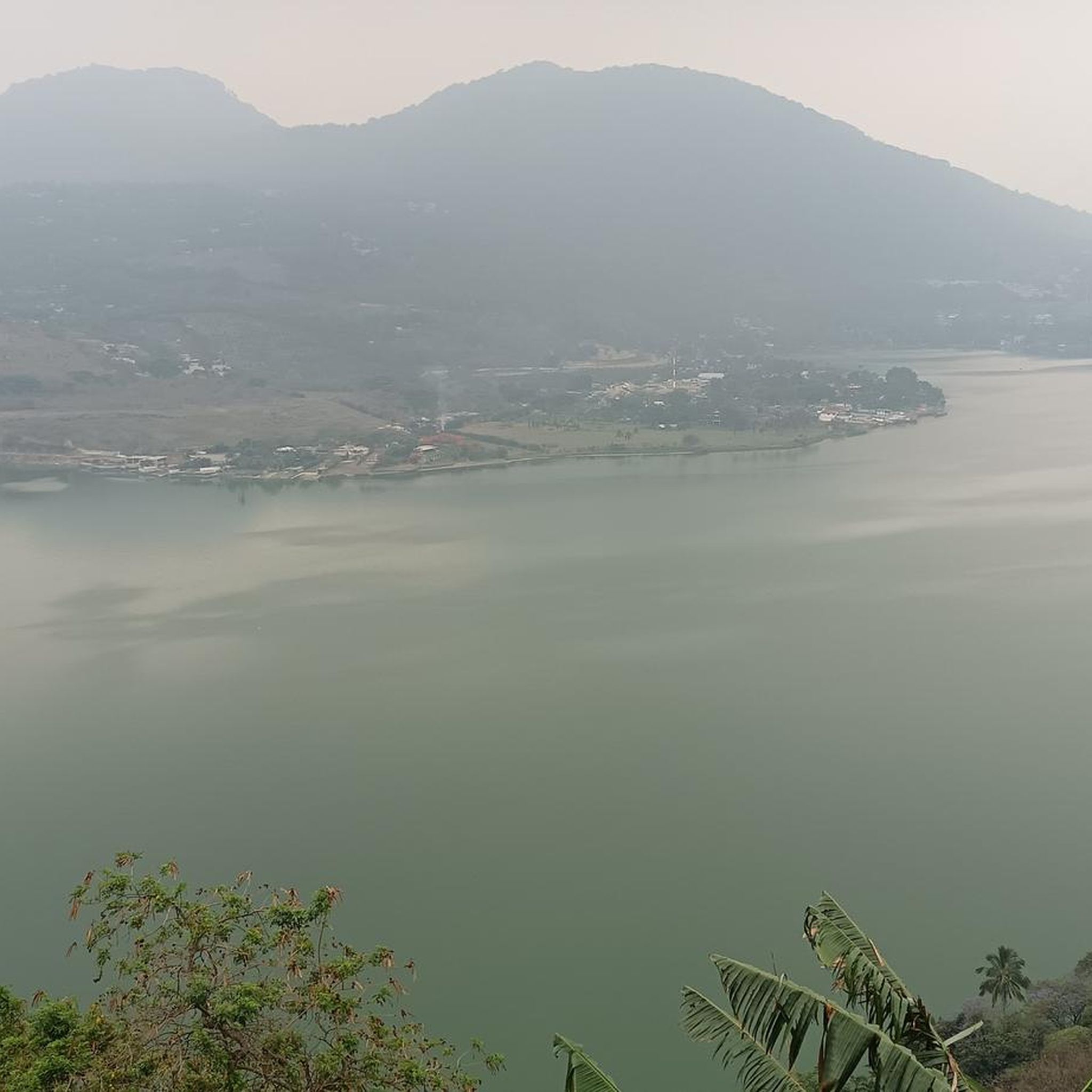
Yes, Amatitlán's running routes offer breathtaking scenic views. You can expect panoramic vistas of Lake Amatitlán, a volcanic crater lake, and the majestic Pacaya Volcano dominating the southern skyline. Glimpses of the Agua and Fuego volcanoes are also common. The Parque Nacional Naciones Unidas, a significant green space, features several lookout points that provide spectacular views of the lake and surrounding volcanoes.
How many running routes are available in Amatitlán?
There are several running routes available in Amatitlán, with komoot featuring 5 distinct trails. These range in difficulty from moderate to difficult, catering to different fitness levels.
Are there any easy or moderate running routes in Amatitlán suitable for beginners?
While many routes in Amatitlán are considered difficult due to significant elevation changes, there are some moderate options available. For example, the Running loop from Antigua Guatemala is a moderate 3.4-mile (5.4 km) path, and the Cerro de la Cruz loop from Antigua Guatemala is a 4.2-mile (6.7 km) moderate trail with scenic viewpoints.
What do other runners enjoy most about jogging in Amatitlán?
The running routes in Amatitlán are highly rated by the komoot community, with an average score of 4.2 stars from more than 10 reviews. Runners often praise the challenging volcanic landscapes, the stunning views of Lake Amatitlán and surrounding volcanoes, and the diverse terrain that makes for an engaging outdoor experience.
Are there any family-friendly running options in Amatitlán?
The Parque Nacional Naciones Unidas offers a good environment for families. While some trails can be challenging, the park also features picnic areas, barbecue pits, and other recreational facilities, making it a suitable destination for a family outing where some members might jog while others enjoy the park's amenities.
Can I find circular running routes in Amatitlán?
Yes, many of the running routes in Amatitlán are designed as loops, allowing for a continuous and varied experience without retracing your steps. Examples include the Running loop from Antigua Guatemala and the Cerro de la Cruz loop from Antigua Guatemala.
Are there any permits required to access running trails in Amatitlán?
Access to the Parque Nacional Naciones Unidas, a popular area for running, typically requires an entrance fee. It's advisable to check the park's official website or local information for current entry requirements and fees before your visit.
What are the typical lengths of running trails in Amatitlán?
The running trails in Amatitlán vary in length, catering to different preferences. You can find shorter, moderate loops like the Running loop from Antigua Guatemala at 3.4 miles (5.4 km), up to longer, more challenging routes such as the IGSS Descent loop from Antigua Guatemala, which is 8.9 miles (14.3 km).
Are there any specific considerations for running in Amatitlán regarding the weather or best time of year?
Amatitlán is located in the Central Highlands, which generally experiences a pleasant climate. However, it's always recommended to check the local weather forecast before heading out. The region's volcanic activity can also lead to unique phenomena like sulfurous hot springs, which might influence air quality in certain areas. Early mornings or late afternoons are often ideal for running to avoid the midday sun.
Are there any places to relax or recover after a run in Amatitlán?
Yes, after an active day of running, you can find options for relaxation. The region is known for its thermal waters and hot springs, with places like Kawilal Hotel & Spa at Baños Termales Santa Teresita offering various outdoor pools for recovery. Additionally, the Parque Nacional Naciones Unidas has picnic areas where you can unwind.

Get inspired with the komoot mobile app


Explore more
Browse the best Running Trails & Routes in other regions.
