The best walks and hikes around Häg-Ehrsberg
4.6
(20958)
76,850
hikers
1,181
hikes
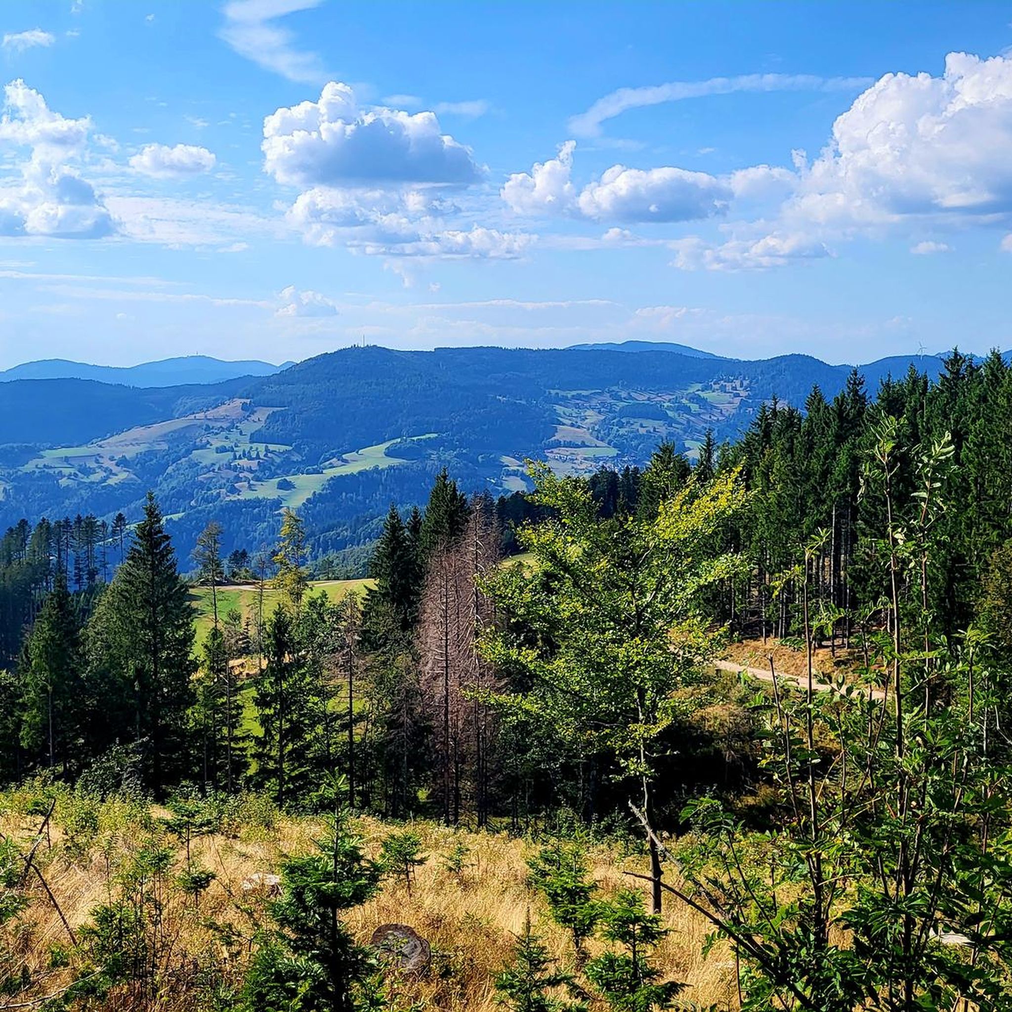
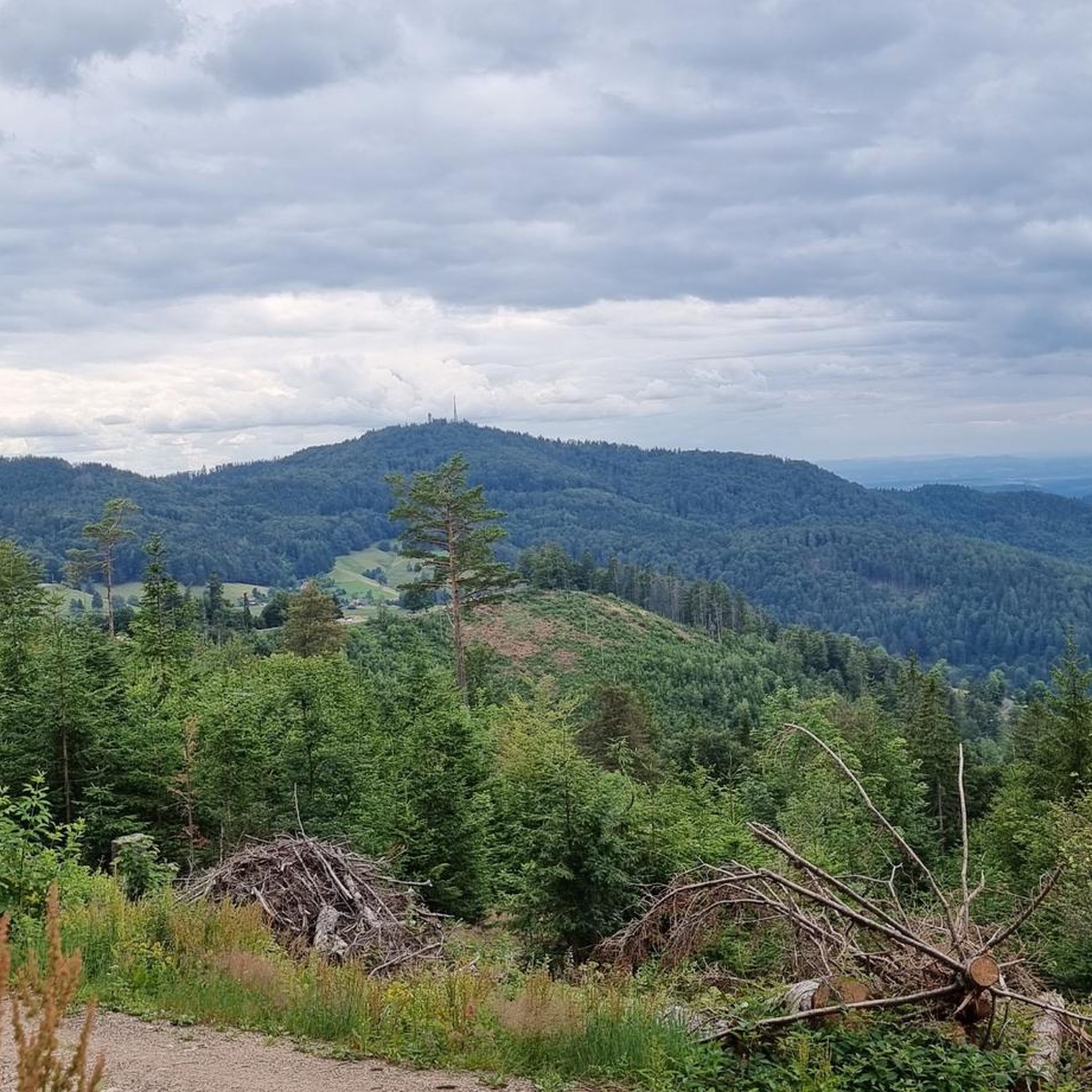
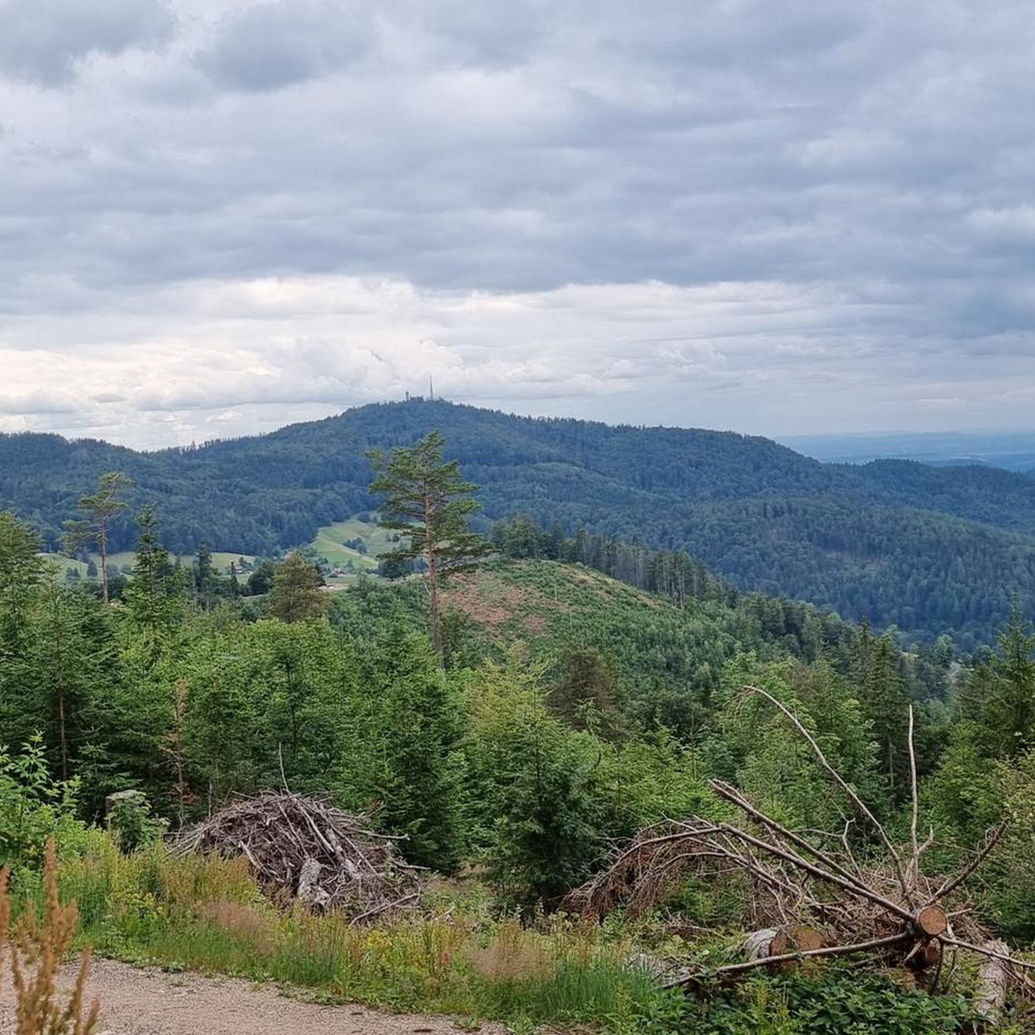
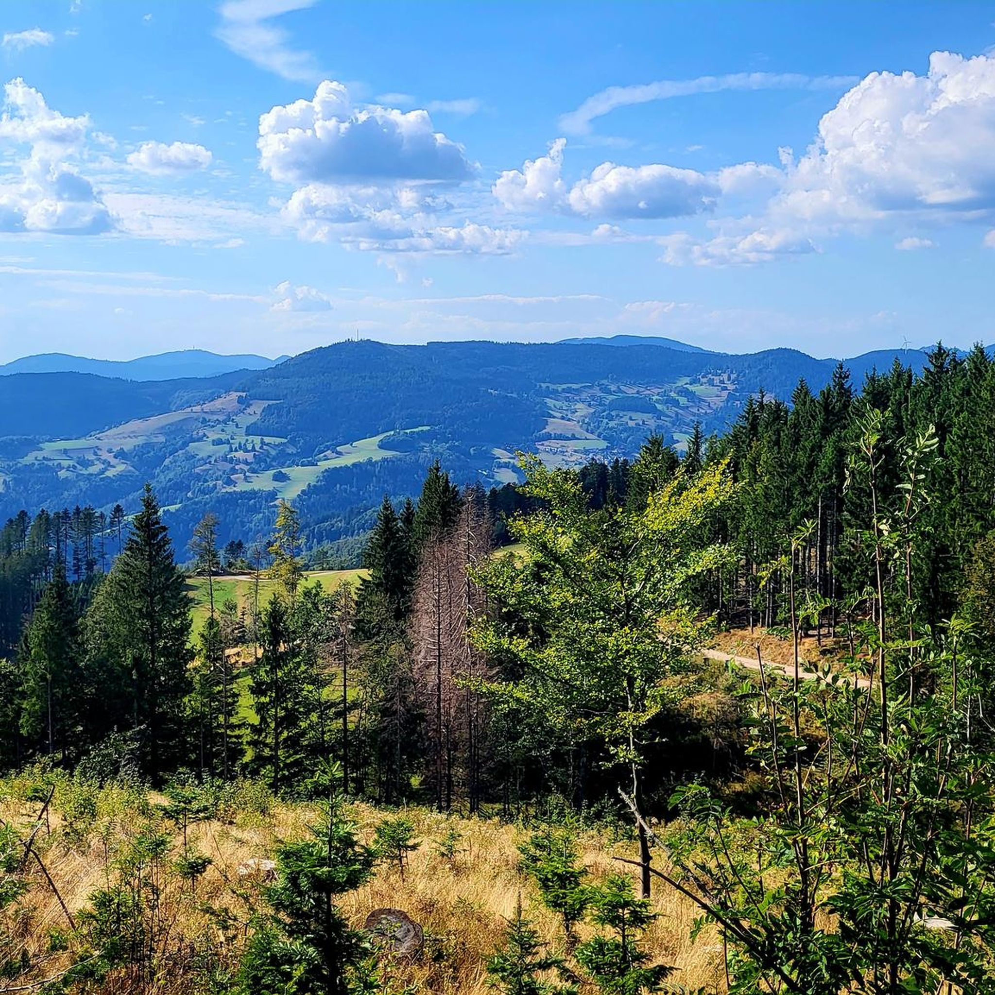
Hiking around Häg-Ehrsberg offers diverse landscapes within the Black Forest, characterized by expansive mountain meadows and dense forests. The region features varied topography, including the Wiesental valley and scenic forest edges. Notable natural features include the Nonnenmatt Pond, a moor lake, and the Weiherfelsen rock, which provides views over the pond. This area presents a mix of terrain suitable for various hiking experiences.
Best hiking trails around Häg-Ehrsberg
- The most popular hiking route is View of Herrenschwand – View of…
Last updated: October 5, 2026
4.8
(199)
712
hikers
Moderate hike. Good fitness required. Easily-accessible paths. Suitable for all skill levels.
4.8
(194)
691
hikers
12.0km
03:24
270m
270m
Moderate hike. Good fitness required. Easily-accessible paths. Suitable for all skill levels.

4.4
(60)
198
hikers
10.0km
03:00
320m
320m
Moderate hike. Good fitness required. Easily-accessible paths. Suitable for all skill levels.
4.8
(67)
170
hikers
4.72km
01:30
190m
200m
Easy hike. Great for any fitness level. Easily-accessible paths. Suitable for all skill levels.
4.8
(37)
108
hikers
15.2km
04:41
540m
540m
Moderate hike. Good fitness required. Easily-accessible paths. Suitable for all skill levels.
Get access to more routes and recommendations from other explorers.
Already have an account?
Our route recommendations are based on thousands of hikes, rides, and runs completed by other people on komoot.
Start today with a free account
Your next adventure awaits.

Tips from the Community

Secluded and quiet. There is also a barbecue area here, as well as several seating areas outside the shelter. The view from up here towards Belchen and Großes Wiesental is brilliant.
1
0

Super path, not for nothing it is called Panoramaweg ⛰️🌞📷
0
0
A great view, you think you are in Austria or Switzerland with the cross as a motif ⛰️🌞👍🇨🇭🇦🇹
0
0

Part of the primeval forest trail in the Black Forest Biosphere Reserve.
1
0

Untouched by humans, the jungle trail is an impressive piece of the forest. Numerous moss-covered rocks and fallen trees. Simply beautiful.
2
0

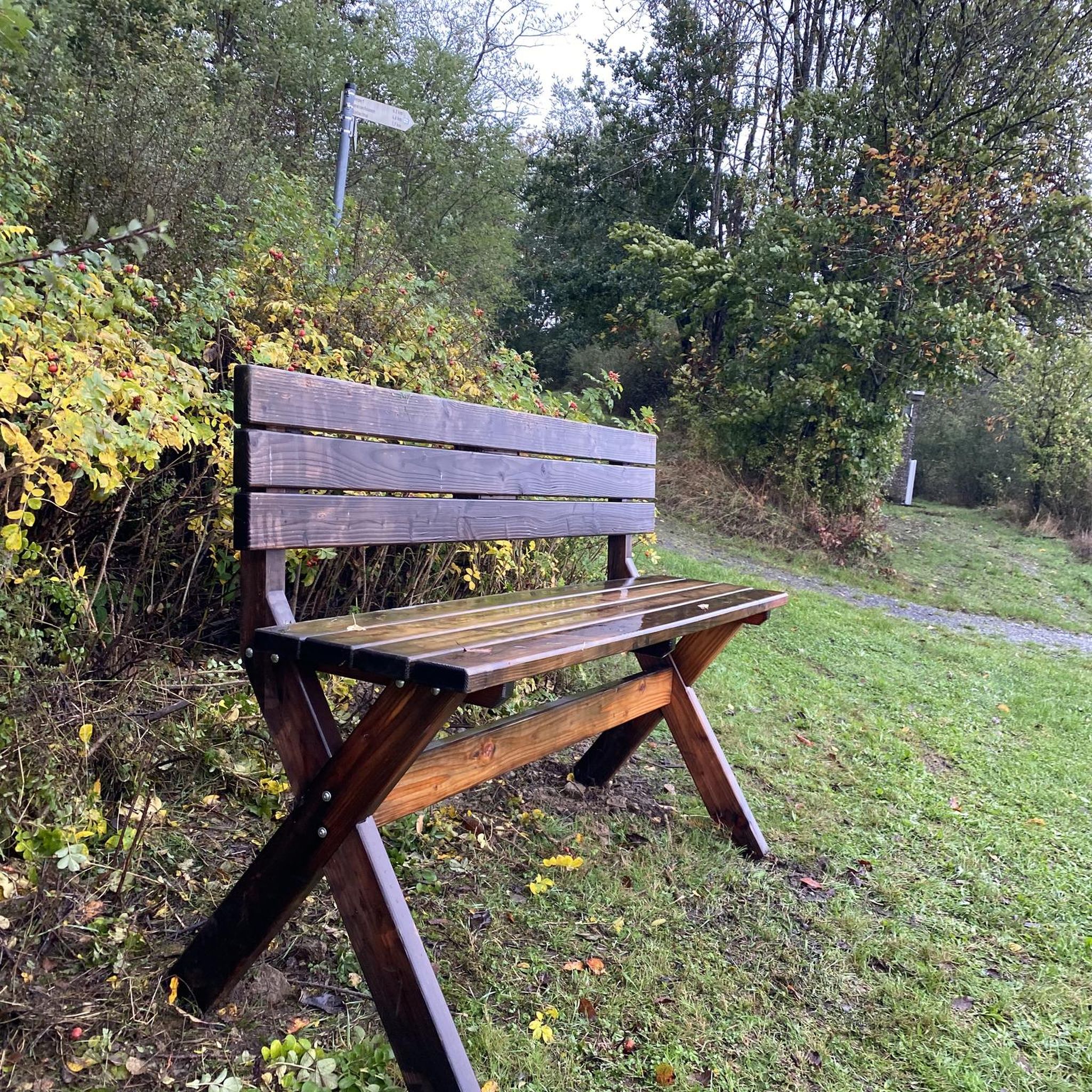
Easily accessible and signposted rock bench with a beautiful view.
1
0

The climb is worth it! Beautiful hike on the Hochkopf
0
0

The most beautiful section from Herrenschwand to Holzer Kreuz on the upper path.
2
1
Frequently Asked Questions
How many hiking trails are available in Häg-Ehrsberg?
Häg-Ehrsberg offers a wide selection of hiking trails, with over 1200 routes recorded on komoot. These range from easy strolls to more challenging treks, ensuring options for various fitness levels.
What kind of terrain can I expect when hiking in Häg-Ehrsberg?
The region features diverse Black Forest scenery, including expansive mountain meadows, dense forests, and the scenic Wiesental valley. You'll encounter varied topography, from gentle paths to more rugged sections, often with rewarding viewpoints.
Are there any circular hiking routes in Häg-Ehrsberg?
Yes, many routes in Häg-Ehrsberg are circular. For example, the moderate View of Herrenschwand – View of the Black Forest loop offers scenic vistas, while the easier Urwaldpfad Trailhead loop takes you through varied woodlands.
What are some notable natural features or landmarks to see while hiking?
Hikers can explore several natural highlights. The Todtnau Waterfall is an impressive 97-meter cascade. The Nonnenmatt Pond, a moor lake where swimming is permitted, also features the Weiherfelsen rock, offering great views. You can also find several gorges nearby, such as the Wolfsschlucht Gorge.
Are there any viewpoints with panoramic vistas in the Häg-Ehrsberg area?
Absolutely. The Hochkopf Tower – Ledertschobenstein loop leads to the Hochkopf Tower, providing panoramic views. The Belchen Summit (1,414 m), considered one of the Black Forest's most beautiful mountains, offers stunning vistas of the Rhine Valley, Vosges, and even the Swiss Alps on clear days.
What is the best time of year to go hiking in Häg-Ehrsberg?
Häg-Ehrsberg is a year-round destination. While spring and autumn offer vibrant colors and pleasant temperatures, summer is ideal for enjoying the mountain meadows. In winter, the region also caters to outdoor enthusiasts with opportunities for cross-country skiing and snowshoe hiking.
Are there family-friendly hiking options in Häg-Ehrsberg?
Yes, Häg-Ehrsberg offers routes suitable for families. The Urwaldpfad Trailhead loop is an easy 4.7 km trail, often completed in about 1 hour 30 minutes, making it a good choice for families. The Rinderlehrpfad (Cattle Educational Trail) also provides an engaging experience for children.
Can I bring my dog on the hiking trails in Häg-Ehrsberg?
Many trails in the Häg-Ehrsberg region are dog-friendly, allowing you to explore the diverse landscapes with your canine companion. It's always advisable to keep dogs on a leash, especially in areas with wildlife or livestock, and to check specific trail regulations if available.
What do other hikers say about the trails in Häg-Ehrsberg?
The hiking routes in Häg-Ehrsberg are highly rated by the komoot community, with an average score of 4.6 stars from over 17,500 reviews. More than 70,000 hikers have used komoot to explore the varied terrain, often praising the scenic beauty and well-maintained paths.
Are there options for longer, more challenging hikes in the area?
Yes, for those seeking more challenging treks, Häg-Ehrsberg is traversed by prominent long-distance trails like the Westweg (eastern variant) and the Main-Neckar-Rhine Trail. These routes offer extended distances and require good physical condition and sure-footedness.
Where can I find food and refreshments along the trails?
The Krunkelbachhütte Mountain Lodge is a welcoming spot that serves home-cooked meals to hikers. It also features a unique outdoor hotpot for relaxation amidst mountain views. Additionally, the villages in the region offer various cafes and restaurants.
Are there any gorges or waterfalls to visit near Häg-Ehrsberg?
Yes, the area is rich in natural spectacles. Besides the impressive Todtnau Waterfall, you can explore several gorges such as the Wolfsschlucht Gorge, Howehra Gorge, and Raven Gorge, offering dramatic landscapes.
Most popular routes around Häg-Ehrsberg
Most popular attractions around Häg-Ehrsberg

Get inspired with the komoot mobile app


Explore more
Browse the best Hikes in other regions.
