The best MTB trails in Nahualá
4.0
(30)
60
riders
8
rides
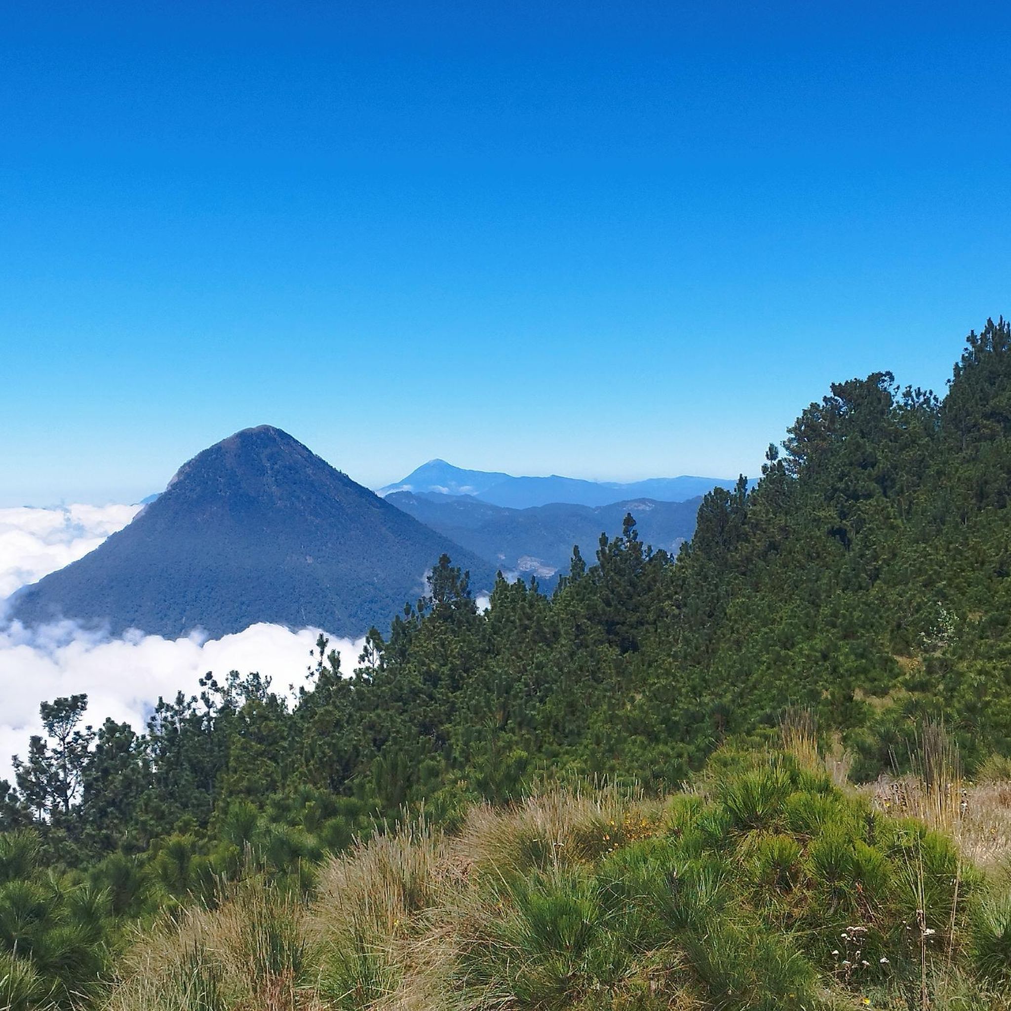
Mountain biking in Nahualá offers a diverse landscape for riders, characterized by rolling hills, forested areas, and elevated viewpoints. The region provides a mix of terrain suitable for various skill levels, from gentle paths to more challenging ascents. Mountain bike trails in Nahualá often lead through natural settings, providing opportunities to experience the local environment. The area's topography ensures varied riding experiences with both climbs and descents.
Best mountain bike trails in Nahualá
- The most popular mountain bike trail is…
Last updated: July 5, 2026
1.0
(1)
17
riders
21.1km
01:31
370m
380m
Moderate mountain bike ride. Good fitness required. Suitable for all skill levels.
4.3
(9)
7
riders
20.6km
01:49
680m
680m
Moderate mountain bike ride. Good fitness required. Suitable for all skill levels.

Sign up for free
4.7
(6)
5
riders
21.4km
01:54
600m
600m
Moderate mountain bike ride. Good fitness required. Suitable for all skill levels.
4.5
(8)
4
riders
26.2km
01:59
600m
600m
Moderate mountain bike ride. Good fitness required. Suitable for all skill levels.
5.0
(1)
5
riders
12.7km
01:06
330m
330m
Moderate mountain bike ride. Good fitness required. Suitable for all skill levels.
4.7
(3)
3
riders
16.8km
01:34
580m
580m
Moderate mountain bike ride. Good fitness required. Suitable for all skill levels.
2
riders
23.7km
01:32
310m
310m
Moderate mountain bike ride. Good fitness required. Suitable for all skill levels.
5.0
(1)
4
riders
23.6km
02:07
660m
660m
Moderate mountain bike ride. Good fitness required. Suitable for all skill levels.
4.5
(2)
2
riders
11.7km
00:52
220m
220m
Easy mountain bike ride. Great for any fitness level. Suitable for all skill levels.
Our route recommendations are based on thousands of hikes, rides, and runs completed by other people on komoot.
Start today with a free account
Your next adventure awaits.
Login or Signup
Popular around Nahualá

Frequently Asked Questions
How many mountain bike trails are available in Nahualá?
Nahualá offers a selection of 8 mountain bike trails, catering to various skill levels. These routes provide diverse riding experiences through the region's unique landscape.
Are there beginner-friendly mountain bike trails in Nahualá?
Yes, Nahualá has options for beginners. The Pila de Chimoral loop from Totonicapán is an easy 7.3-mile (11.7 km) trail, typically completed in about 51 minutes, making it suitable for those new to mountain biking.
What are the typical distances and durations for mountain bike trails in Nahualá?
The mountain bike trails in Nahualá vary in length and duration. Most routes range from approximately 7 to 16 miles (11 to 26 km), with completion times typically between 1 to 2.5 hours, depending on the trail and rider's pace.
Which trails offer the best scenic viewpoints in Nahualá?
For scenic views, consider the Mirador – Carazon de Panajachel loop from Panajachel, which is known for its elevated positions. Another great option is the Chuicaxtun Viewpoint loop from Totonicapán, offering expansive vistas.
Are there any circular mountain bike trails in Nahualá?
Yes, all the mountain bike routes listed for Nahualá are circular. This includes popular options like the Bosque Tres Coronas loop from Totonicapán and the Las Cuevas Viewpoint loop from Totonicapán, allowing you to start and finish at the same point.
What do other mountain bikers enjoy most about the trails in Nahualá?
The mountain bike trails in Nahualá are highly rated by the komoot community, with an average score of 3.9 stars from over 20 reviews. Riders often praise the diverse landscape, which includes forested paths, open viewpoints, and undulating terrain, providing a varied and engaging experience.
What is the best season for mountain biking in Nahualá?
Nahualá's climate generally offers pleasant conditions for mountain biking for much of the year. However, the dry season, typically from November to April, is often preferred for clearer trails and more stable weather. Always check local forecasts before heading out.
What should I bring for mountain biking in Nahualá?
When mountain biking in Nahualá, it's essential to bring appropriate gear. This includes a well-maintained mountain bike, a helmet, water, snacks, a basic repair kit, and navigation tools. Layered clothing is also recommended due to potential temperature changes, especially at higher elevations.
Are there challenging trails for advanced mountain bikers in Nahualá?
While most trails are moderate, there is one difficult route available for experienced riders. The region's topography ensures varied riding experiences with both climbs and descents, providing a good challenge for those seeking more demanding terrain.
Is public transport available to reach mountain bike trails in Nahualá?
While specific public transport routes directly to trailheads may vary, Nahualá is generally accessible by local buses or 'chicken buses' from larger towns like Sololá or Quetzaltenango. However, reaching specific starting points for trails might require additional local transport or a taxi.
Where can I find parking for mountain biking in Nahualá?
Parking availability near trailheads in Nahualá can be informal. When starting from towns like Panajachel or Totonicapán, you may find designated parking areas or street parking. It's advisable to check local regulations or ask locals for the best and safest places to park your vehicle.
Are there family-friendly mountain bike routes in Nahualá?
For families, the easier trails are generally more suitable. The Pila de Chimoral loop from Totonicapán, being an easy route, could be a good option for families looking for a less strenuous ride. Always consider the fitness and skill level of all family members.

Get inspired with the komoot mobile app


Explore more
Browse the best MTB trails in other regions.
