The best walks and hikes around Hahnweiler
4.5
(4513)
18,622
hikers
476
hikes
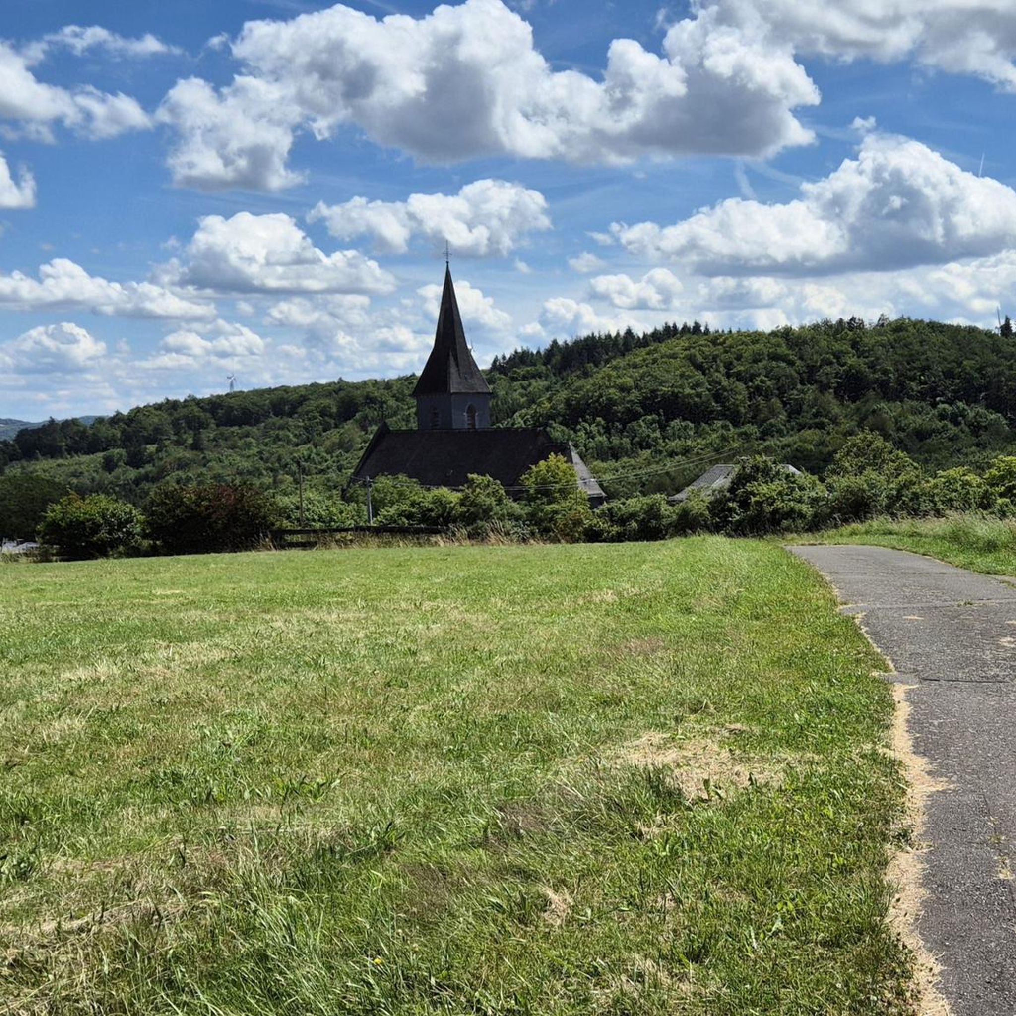
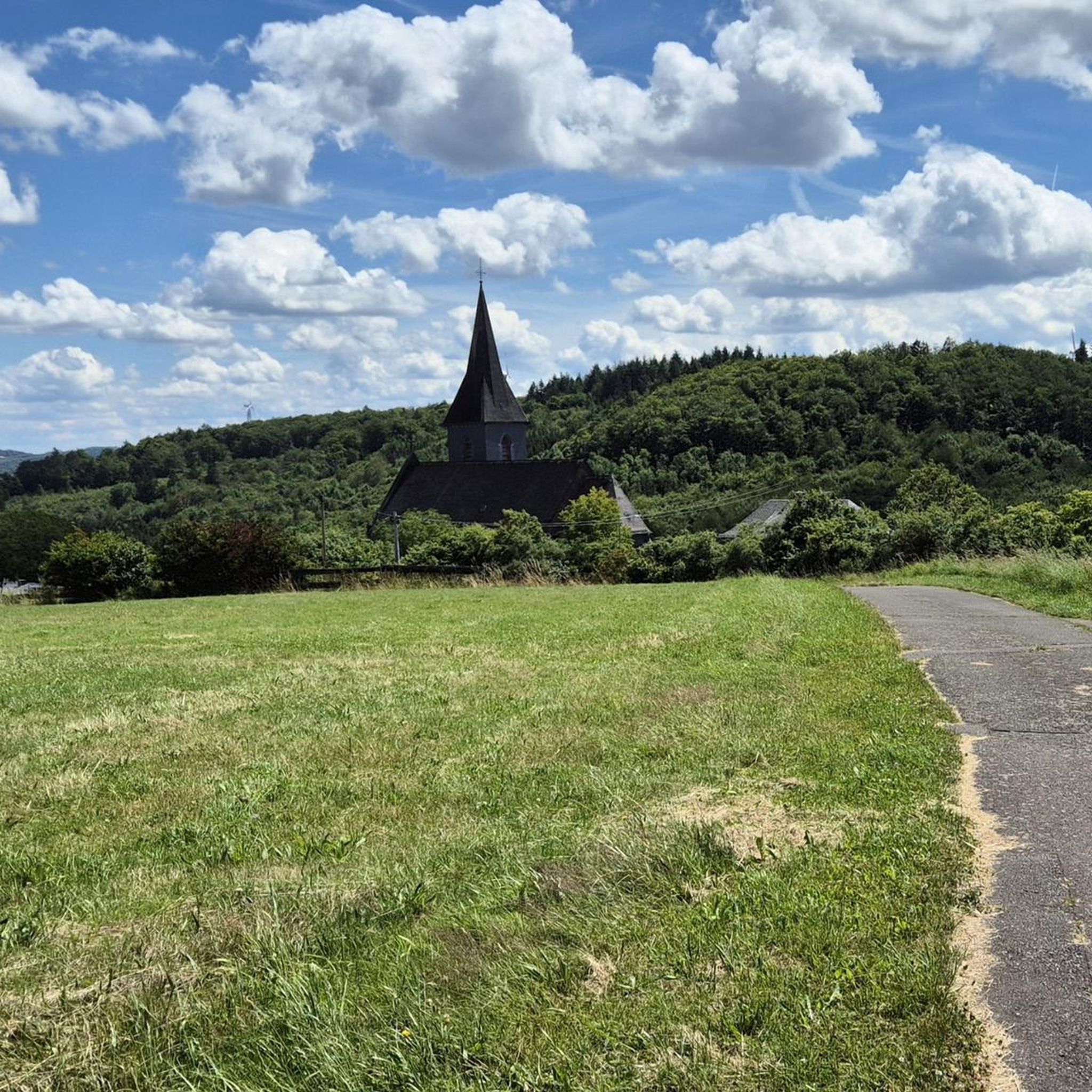
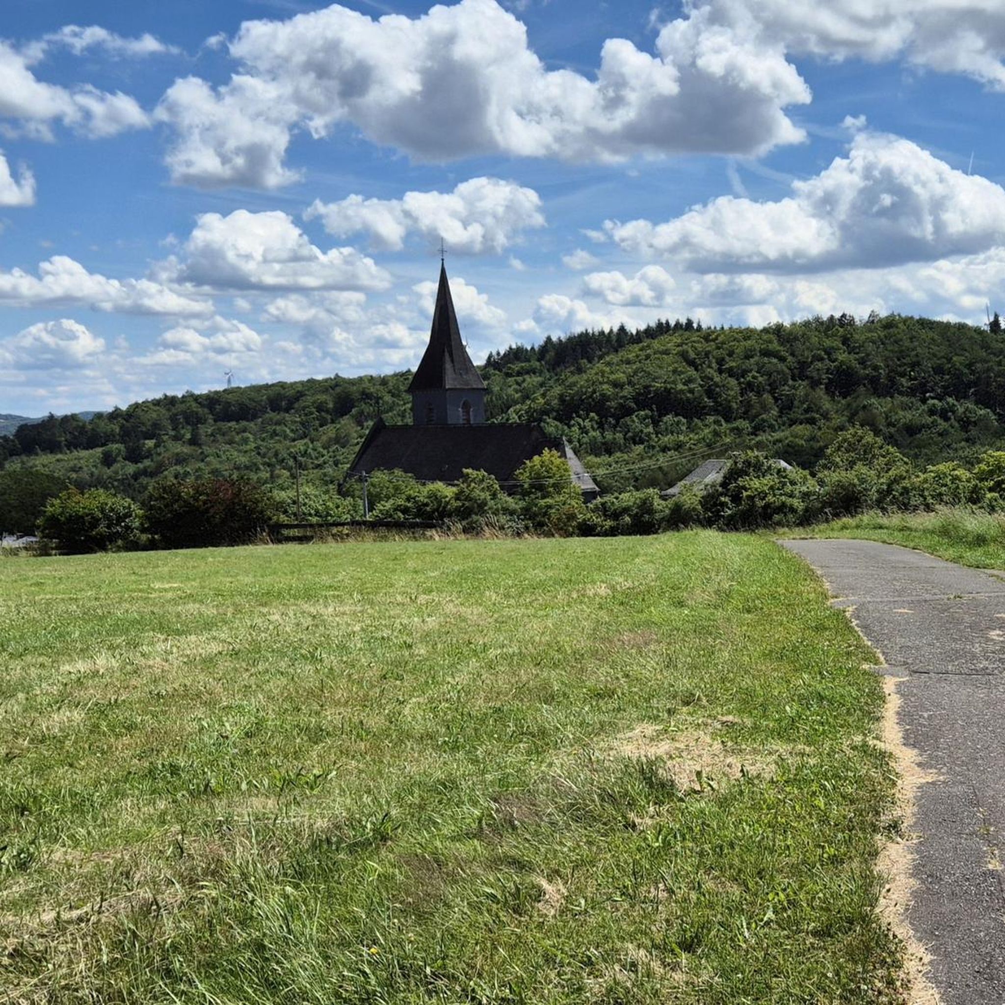
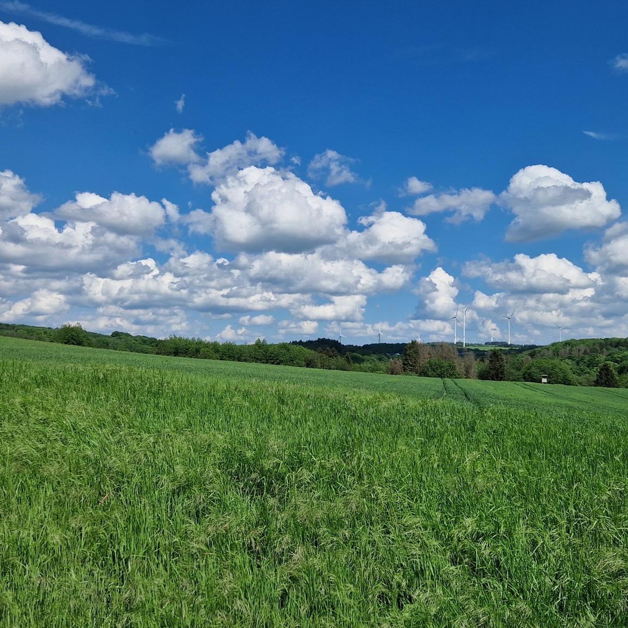
Hiking around Hahnweiler offers a diverse landscape characterized by rolling hills, dense woodlands, and unique geological formations. The region features a mix of well-maintained paths and natural trails, providing varied terrain for outdoor exploration. Hikers can expect to encounter a blend of open fields, forested sections, and elevated points offering views of the surrounding countryside.
Best hiking trails around Hahnweiler
- The most popular hiking route is Stone Sea – Weiselberg Shelter loop from Freisen, a 7.9 miles (12.7 km)…
Last updated: July 5, 2026
4.8
(15)
42
hikers
12.7km
03:37
260m
260m
Moderate hike. Good fitness required. Mostly accessible paths. Sure-footedness required.
5.0
(7)
19
hikers
15.1km
04:22
380m
380m
Moderate hike. Good fitness required. Easily-accessible paths. Suitable for all skill levels.

Sign up for free
5.0
(5)
36
hikers
2.18km
00:36
40m
40m
Easy hike. Great for any fitness level. Easily-accessible paths. Suitable for all skill levels.
4.3
(7)
18
hikers
4.31km
01:14
100m
100m
Easy hike. Great for any fitness level. Easily-accessible paths. Suitable for all skill levels.
4.4
(5)
17
hikers
7.97km
02:11
120m
120m
Moderate hike. Good fitness required. Easily-accessible paths. Suitable for all skill levels.
Get access to more routes and recommendations from other explorers.
Sign up for free
Already have an account?
Our route recommendations are based on thousands of hikes, rides, and runs completed by other people on komoot.
Start today with a free account
Your next adventure awaits.
Login or Signup

Tips from the Community

A highlight of the Weiselberg summit hike is the modern viewing platform above Oberkirchen. On clear days, it offers sweeping views as far as the Blies Valley and the Northern Palatinate – but in the fog, its tranquil, almost mystical side is revealed. The path there leads gently uphill through the deciduous forest before the platform extends over the hillside. Tip: A short stop is worthwhile early in the morning or after rain – the fog often rolls in here first, creating a special atmosphere before the valley slowly opens up again.
0
0

Rest area in the shade
0
0

Unfortunately, at least currently (09/2025) there is no cross left
0
0

Great rock formations. However, I wouldn't go too close, as rocks can still break off and fall down.
0
0
Great viewpoint with a bench for a rest. If you just walk past, it's your own fault. :-)
0
0
Great viewpoint. Highly recommended.
0
0

From the Iron Bridge, you have a wonderful view of the Oberkirchen railway viaduct. If you continue along the Saarland Cycle Path toward Oberkirchen, you should also take another look at the Iron Bridge from below.
1
0
⛲ Stone Drinking Fountain in the Forest – Preußensteig Trail Located in the shady forest, this old stone drinking fountain surprises – a quiet relic of times gone by. Covered in moss, cool, and surrounded by nature, it invites you to rest. Whether it still holds water is a matter of luck – but the sight alone is worth a short break. Tip: Ideal for a quiet photo and a short breather under beech and oak trees.
0
0
Frequently Asked Questions
How many hiking trails are there in Hahnweiler?
Hahnweiler offers a wide selection of hiking opportunities, with over 450 routes available. These range from easy strolls to more challenging moderate trails, catering to various fitness levels.
What do other hikers enjoy the most about hiking in Hahnweiler?
The hiking trails around Hahnweiler are highly rated by the komoot community, with an average score of 4.5 stars from over 3,200 reviews. Hikers frequently praise the diverse landscape, which includes rolling hills, dense woodlands, and unique geological formations like the Stone Sea.
Are there easy hiking trails suitable for beginners or families in Hahnweiler?
Yes, Hahnweiler has over 230 easy hiking routes. A great option for beginners or families is the Three Crosses Memorial loop from Freisen, which is a gentle 1.4-mile (2.2 km) trail that can be completed in under an hour.
Are there any challenging hikes around Hahnweiler?
While most routes in Hahnweiler are easy to moderate, there are 15 more difficult trails for those seeking a greater challenge. These routes often feature more significant elevation changes and longer distances.
Are there circular hiking routes available in Hahnweiler?
Many of the trails in Hahnweiler are designed as loops, allowing you to start and end at the same point. An example is the Sparrenberg loop from Freisen, an easy 2.7-mile (4.3 km) route.
What kind of natural attractions can I see along the trails?
Hahnweiler's trails offer a variety of natural sights. You can explore unique geological features like the Urweiler Quarry or the Bärenfels — Rocky Outcrop. The region also features beautiful forests, such as the Leitersweiler Beeches, and tranquil spots like the Fischwaid Birkenfeld pond complex.
Are there any good viewpoints on the trails around Hahnweiler?
Yes, many trails in Hahnweiler include elevated sections that provide scenic views of the surrounding countryside. For instance, the Stone Sea – Weiselberg Shelter loop from Freisen offers views from the Weiselberg Shelter, allowing hikers to appreciate the diverse landscape.
Can I bring my dog on the hiking trails in Hahnweiler?
Generally, dogs are welcome on most hiking trails in Hahnweiler. However, it's always advisable to keep them on a leash, especially in forested areas or near wildlife, and to check for any specific local regulations or protected areas that might have restrictions.
What is the best time of year to go hiking in Hahnweiler?
The best time for hiking in Hahnweiler is typically from spring through autumn (April to October). During these months, the weather is generally mild, and the natural scenery is at its most vibrant. Spring brings blooming wildflowers, while autumn offers beautiful fall foliage.
Is public transport available to reach hiking trailheads in Hahnweiler?
While Hahnweiler is a smaller community, some regional bus services might connect to nearby towns that serve as trailheads. For specific routes, it's recommended to check local public transport schedules, as direct access to all trailheads might be limited.
Where can I find parking for hiking trails in Hahnweiler?
Many trailheads in and around Hahnweiler, particularly near popular starting points in Freisen or other villages, offer designated parking areas. Look for signs indicating 'Wanderparkplatz' (hiking parking) or similar. It's always a good idea to plan your route in advance and check for parking options near your chosen starting point.
Can I go hiking in Hahnweiler during winter?
Winter hiking in Hahnweiler is possible, especially on well-maintained paths. The region's dense woodlands can be particularly beautiful with a dusting of snow. However, be prepared for colder temperatures, potentially icy conditions, and shorter daylight hours. Always check weather forecasts and trail conditions before heading out.
Are there any trails that pass by places to eat or drink?
While specific pub stops are not detailed for every route, many trails in Hahnweiler pass through or near villages where you can find local eateries or guesthouses. Some routes may also feature rest areas or shelters, such as the Wanderverein Güdesweiler Rest Area or the Large Shelter on the Nahesteig, where you can take a break.
Most popular routes around Hahnweiler
Most popular attractions around Hahnweiler

Get inspired with the komoot mobile app


Explore more
Browse the best Hikes in other regions.
