The 20 Most Amazing Peaks around Vorra
Best mountain peaks around Vorra are found within the Franconian Jura Mountains, offering numerous elevated points, striking rock formations, and scenic viewpoints. This region is a destination for hiking enthusiasts seeking natural beauty and rewarding experiences. The landscape features a blend of natural formations and historical sites, providing diverse exploration opportunities.
Best mountain peaks around Vorra
- The most popular mountain peaks is View of Happurger See from Hohler Fels, a viewpoint that offers magnificent views of the surrounding area,…
Last updated: July 6, 2026
View of Happurger See from Hohler Fels
Highlight • Viewpoint
Translated by Google •
Tip by

View from Glatzenstein
Highlight • Viewpoint
Translated by Google •
Tip by

Sign up now to discover places like this
Get recommendations on the best single tracks, peaks, & plenty of other exciting outdoor places.
Sign up for free
Rothenberg Fortress
Highlight • Historical Site
Guided tours are only available during the summer …
Translated by Google •
Tip by

Moss-covered rock formations on the Hochberg
Highlight • Natural Monument
Translated by Google •
Tip by

Ossinger Observation Tower and Ossinger Hut
Highlight • Viewpoint
Translated by Google •
Tip by

Sign up for free to discover even more peaks around Vorra.
Sign up for free
Already have an account?
Start today with a free account
Your next adventure awaits.
Login or Signup
Popular around Vorra
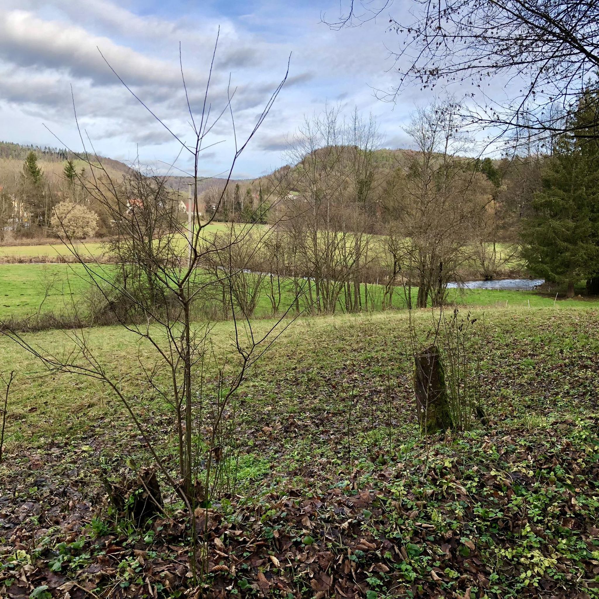
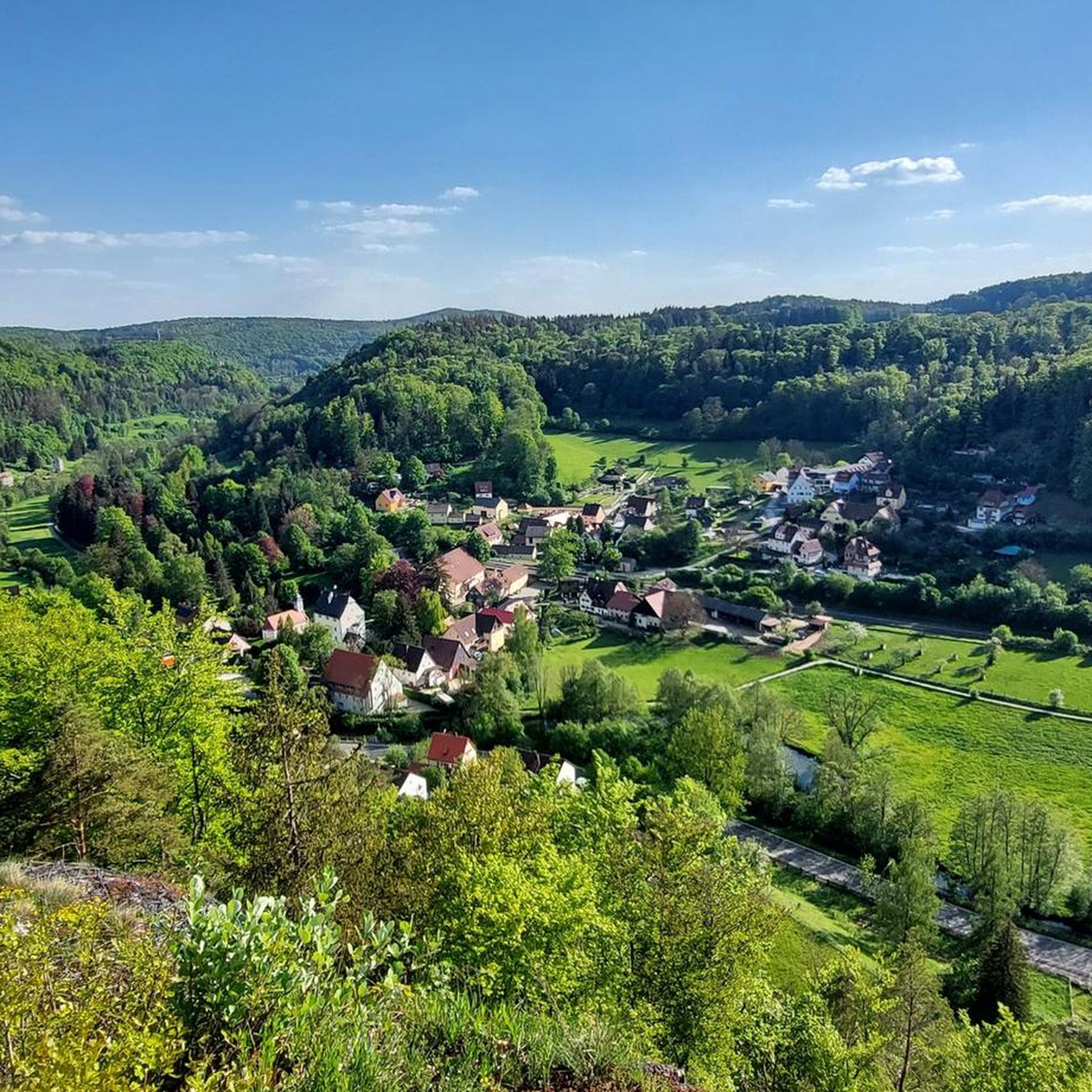
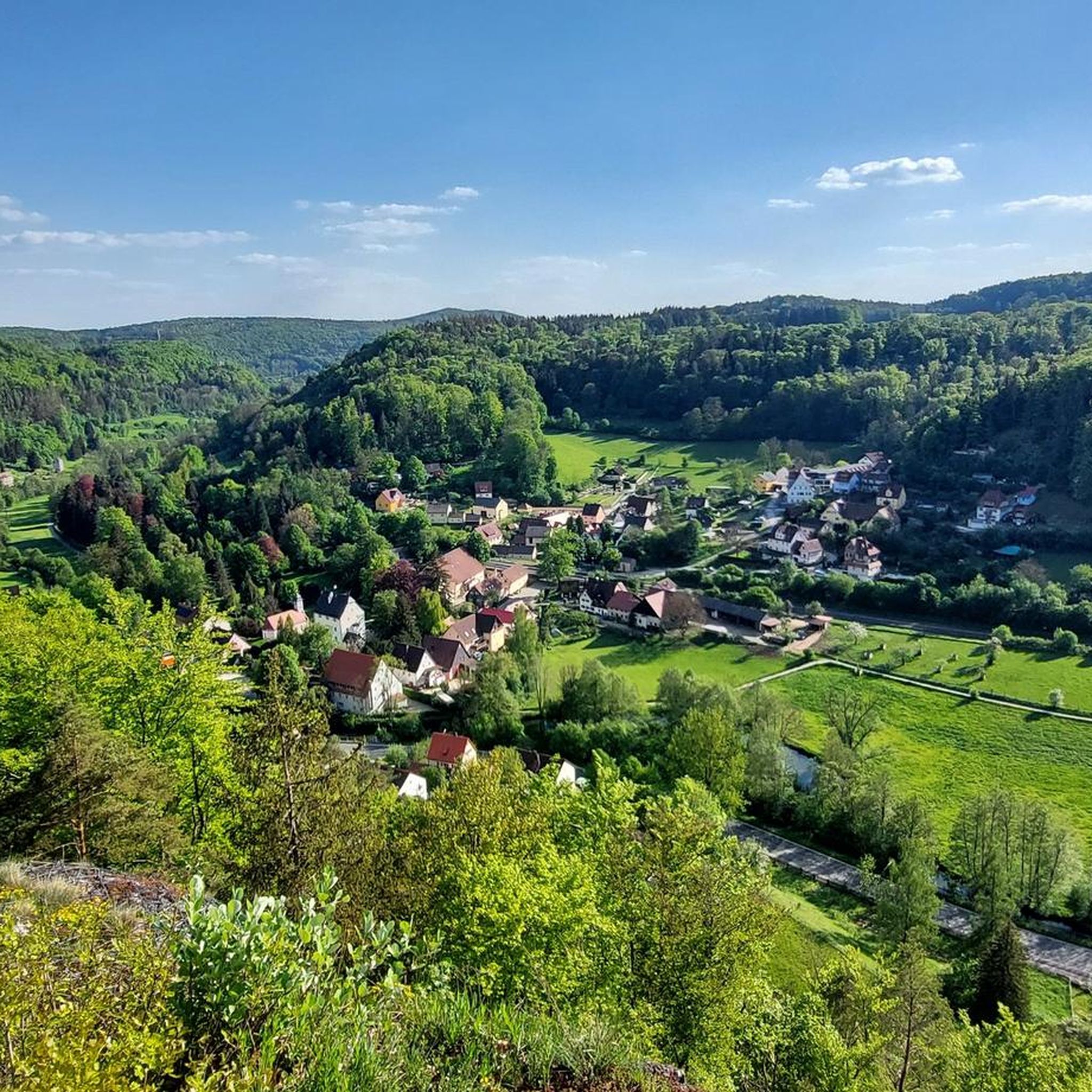

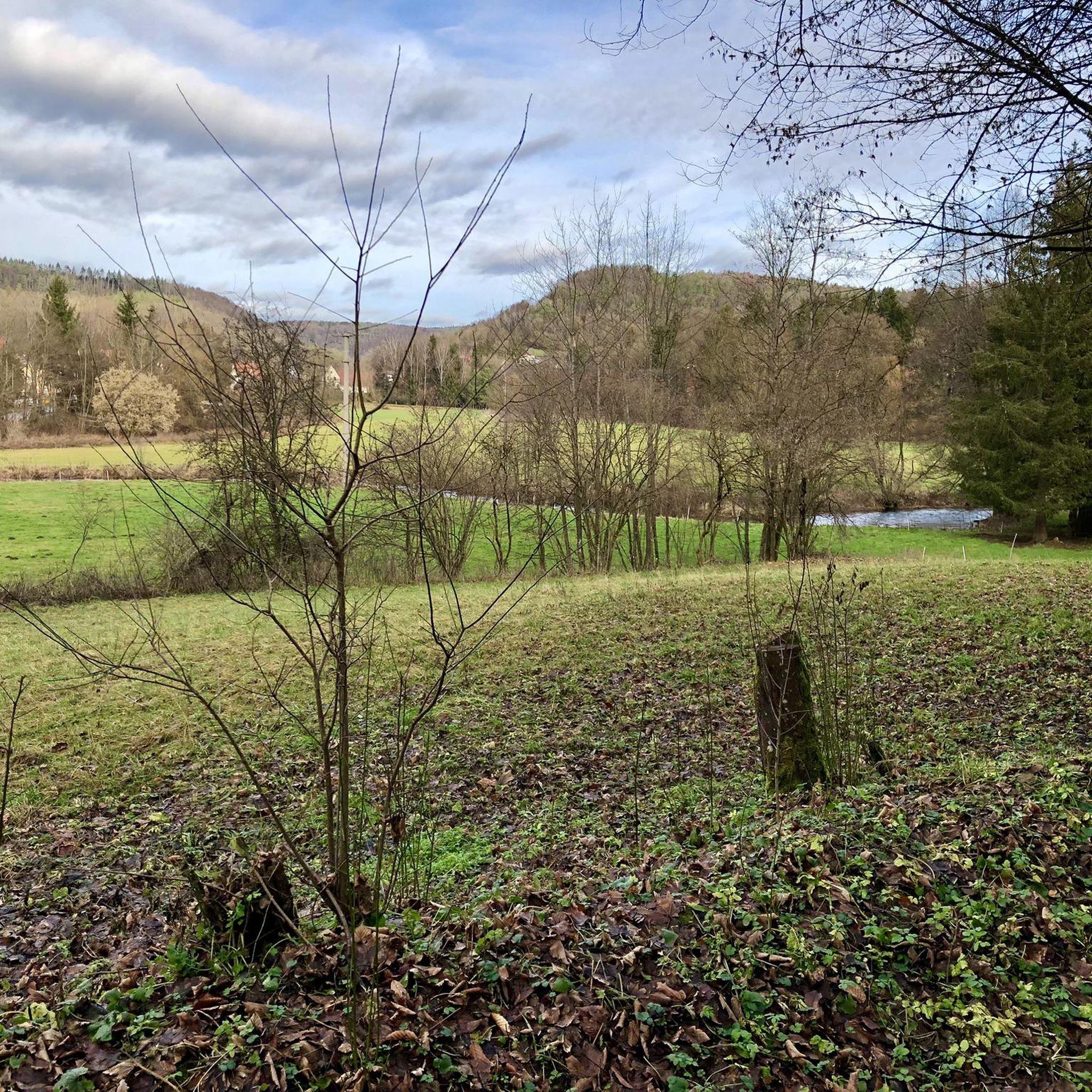

Tips from the Community

Recommended destination with refreshments. However, the hut is not always open, so clarify beforehand. The location is very nice.
10
0

Magnificent boulders overgrown with moss in the quiet forest.
3
1

There are many impressive large moss covered stones and the artwork "High Mountain Shoes", 2 red high heels carved out of wood.
3
0

The archaeological circular trail offers a varied themed trail with numerous information boards through beautiful rock formations, sure-footedness and sturdy shoes are required.
7
0
Always a worthwhile excursion destination, the "Ossinger". In addition to the 22m high wooden observation and radio tower on the ⛰ summit of the 651m high mountain, a visit to the ☕️ Waldschänke 🍺 "Ossingerhütte" is particularly worthwhile. The tower, which unfortunately does not have a viewing platform, offers a great all-round view 🌄. The climb is worth it!
16
1

Bizarre limestone reefs on the summit of the Hochberg with steep slopes are delightfully combined here. Surefootedness is a prerequisite for walking in this area.
5
0

The Ossinger is a 651.1 m above sea level. NHN high elevation of the Franconian Alb in the district of Amberg-Sulzbach, southwest of Königstein. It is the highest mountain in the Hersbrucker Alb. From a political point of view, the Ossinger is located in the Upper Palatinate, geographically in the Franconian Alb. Source: Wikipedia
9
0
Rothenberg Fortress is a former fortress on the 588 m high mountain of the same name. Access is only possible with a guided tour, but this is worthwhile and takes about 35 minutes. From the fortress you have a great view of the surrounding area and of more distant places, e.g. the wind turbines in Schweinfurt, 122km away. Unfortunately, the circular route offers hardly any views of the fortress and no view either. You can see parts of the moat and the fortress cemetery is also recommended. https://www.schnaittach.de/Festung-Rothenberg.o155.html
9
0
Frequently Asked Questions
What are some of the most popular elevated points and viewpoints around Vorra?
Visitors to the Vorra region highly recommend several elevated points for their stunning views and unique features. Among the most popular are View of Happurger See from Hohler Fels, which offers magnificent views of the Happurg reservoir, and Ossinger Observation Tower and Ossinger Hut, providing extensive panoramic views from its 22-meter-high tower. Another favorite is View from Glatzenstein, a rock massif known for its wonderful views over the Nuremberg area, especially at sunset.
Are there family-friendly mountain trails or elevated points in the Vorra region?
Yes, the Vorra region offers several options suitable for families. The View from Glatzenstein is categorized as family-friendly and offers a rewarding view after a manageable ascent. Additionally, the archaeological circular trail on the Hochberg, featuring moss-covered rock formations, is described as interesting for hikes with children due to its varied terrain, opportunities for climbing, and places to play and hide.
What kind of natural features can I expect to see on the mountain peaks around Vorra?
The mountain peaks and elevated points around Vorra are rich in natural beauty. You can expect to encounter striking rock formations, such as those at Glatzenstein and the moss-covered rocks on the Hochberg. The region also features mystical woodlands, green meadows, and small streams. Unique geological formations like the Steinerne Rinne near Düsselbach are also notable natural attractions.
What historical sites are located near the elevated points in Vorra?
The Vorra region is rich in history. The Houbirg mountain, near Happurg, features the remains of an abandoned Celtic oppidum with impressive walls and a prehistoric site. Rothenberg Fortress, built in the 18th century, offers insights into military history and provides great views. Wildenstein Castle, an 11th-century structure, also offers historical context and scenic vistas.
What are some good hiking trails in the Vorra area?
The Vorra area is a haven for hikers, offering numerous trails that explore its natural beauty. The path leading to Hohenstein is known for winding through green meadows and mystical woodlands. Circular routes often incorporate the Düsselbacher-Wand and Wengleinpark, which features viewpoints like 'Charlotten-Ruh' and 'Malerwinkel'. For more options, you can explore various running trails in the area, including the 'Harnbach Wooden Bridge loop' or 'View of Vorra loop' which are part of the Running Trails around Vorra guide.
Are there any less crowded mountain trails or hidden gems around Vorra's peaks?
While popular spots can get busy, especially on weekends, the region offers many trails where you can find tranquility. The View from Glatzenstein is noted for having 'a little less hustle and bustle than at the summit cross,' suggesting a more peaceful experience. Exploring the extensive network of trails in the Franconian Jura, beyond the most well-known highlights, can also lead to quieter paths and hidden viewpoints.
What outdoor activities, besides hiking, can I do near the mountain peaks around Vorra?
Beyond hiking, the Vorra region offers diverse outdoor activities. Cycling enthusiasts can find numerous routes, such as the 'Happurg Quarry Lake – Happurg Quarry Lake North Shore loop' or the 'Pegnitz Cycle Path – Harnbacher Mühle Water Wheel loop', detailed in the Cycling around Vorra guide. Mountain biking is also popular, with trails like the 'Happurg Quarry Lake – Prellstein Rock Formation loop' available in the MTB Trails around Vorra guide.
When is the best time to visit the mountain peaks and elevated points near Vorra?
The Vorra region is enjoyable throughout much of the year. Spring is particularly appealing, especially in areas like Wengleinpark, where you can see protected plants and salamanders. While some popular spots can be very busy in summer, especially on weekends, the views are generally excellent. Winter hiking is also an option, though some historical sites like Rothenberg Fortress may have limited access for bat protection.
Are there places to eat or rest near the mountain trails in the Vorra region?
Yes, there are options for refreshments and rest. The Ossinger Observation Tower and Ossinger Hut features a managed hut where you can enjoy hearty meals. Wengleinpark offers abundant resting spots, and dining options are available in nearby Eschenbach. Many viewpoints, like the View of Happurger See from Hohler Fels and View from Glatzenstein, also provide seating for a rest with a view.
What do visitors enjoy most about the elevated points and mountain peaks around Vorra?
Visitors consistently praise the breathtaking panoramic views offered from various points, such as Hohenstein and the View of Happurger See from Hohler Fels. The blend of natural beauty, including unique rock formations and mystical woodlands, combined with the rich historical significance of sites like the Celtic oppidum on Houbirg and Rothenberg Fortress, makes the region particularly appealing. The variety of hiking experiences, from easy strolls to more challenging routes, also contributes to its popularity.
Can I find circular walks among the mountain peaks near Vorra?
Yes, the Vorra region is well-suited for circular walks. Many trails are designed as loops, allowing you to explore various features and return to your starting point. For instance, the Düsselbacher-Wand is often included in circular routes that showcase the area's natural beauty. Wengleinpark also offers an educational and scenic circular route with notable viewpoints.
Most popular routes around Vorra
Most popular attractions around Vorra

Get inspired with the komoot mobile app


Explore more
See even more amazing summits around Vorra with these guides:
