The best running trails in Jilotzingo
150
runners
3
runs
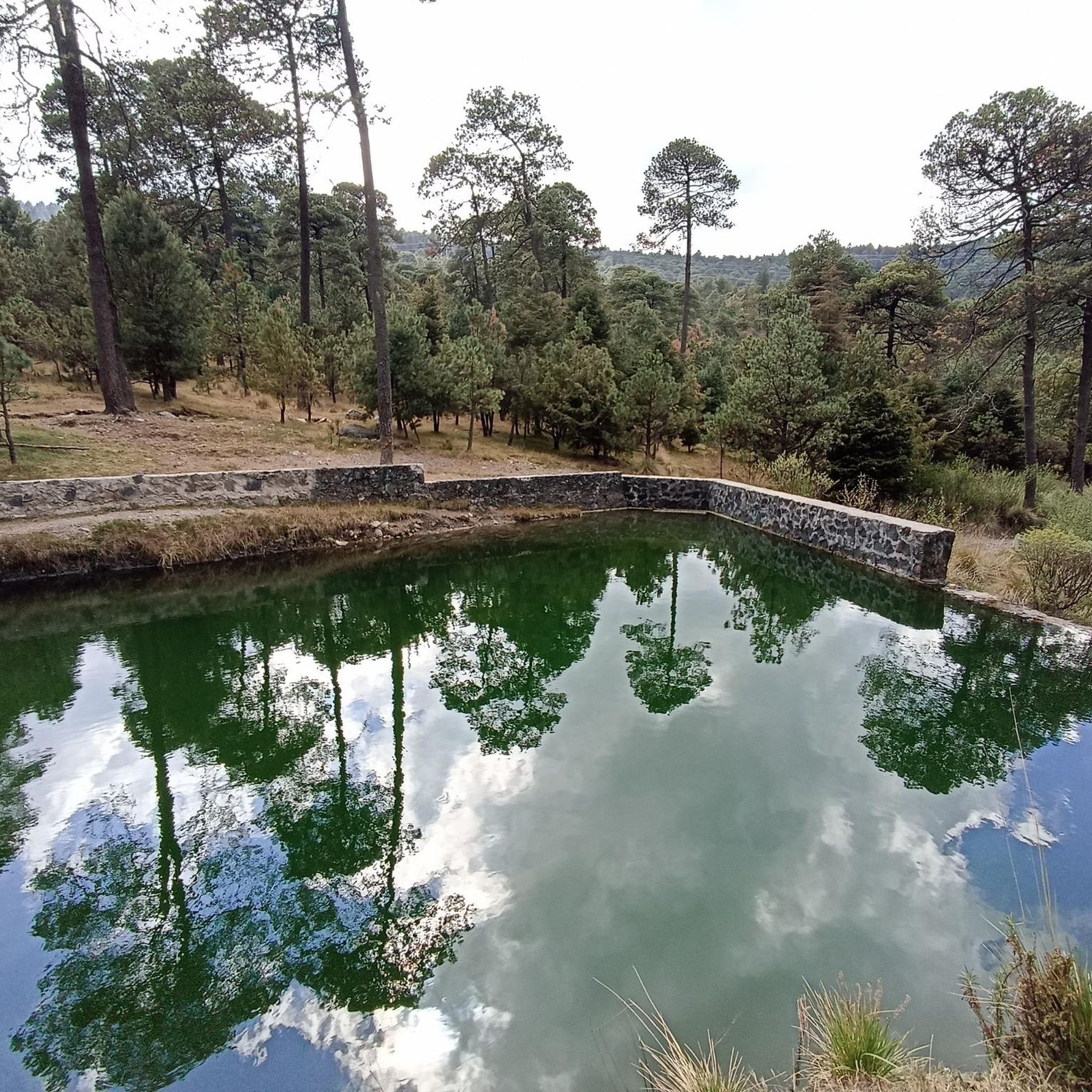
Jogging in Jilotzingo offers a diverse range of natural landscapes, making it an excellent destination for outdoor activities. The region is characterized by mountainous terrain and dense forests, providing varied elevations and scenic backdrops for runners. Trails often feature a mix of single track paths, wide dirt roads, and some asphalt stretches. These natural features create a temperate climate and rich biodiversity, ideal for exploring on foot.
Best jogging routes in Jilotzingo
- The most popular jogging route is Parque Naucalli…
Last updated: July 3, 2026
49
runners
3.09km
00:19
10m
20m
Easy run. Great for any fitness level. Mostly paved surfaces. Suitable for all skill levels.
10
runners
19.4km
02:09
480m
480m
Hard run. Very good fitness required. Mostly paved surfaces. Suitable for all skill levels.

Sign up for free
4
runners
8.62km
01:00
230m
220m
Moderate run. Good fitness required. Mostly paved surfaces. Suitable for all skill levels.
3
runners
13.7km
01:26
120m
130m
Moderate run. Good fitness required. Mostly paved surfaces. Suitable for all skill levels.
4
runners
10.6km
01:07
130m
130m
Moderate run. Good fitness required. Mostly paved surfaces. Suitable for all skill levels.
Our route recommendations are based on thousands of hikes, rides, and runs completed by other people on komoot.
Start today with a free account
Your next adventure awaits.
Login or Signup
Popular around Jilotzingo

Tips from the Community

There's a of people running so be careful and don't go too fast if there are many pedestrians.
0
0

Careful, there are many people running/walking on the bike path.
0
0
Bike path on linear park from Satelite (circuito Juristas), crossing under the highway (periferico), all the way to Gustavo Baz (about 2 km). It also connects to a bikepath along Paseo de Echegaray that goes back almost to parque Naucalli. There are many people running/walking on the bike path.
1
0
Frequently Asked Questions
What kind of terrain can I expect on Jilotzingo's running paths?
Jilotzingo offers a diverse range of terrains for runners. You'll encounter a mix of single track paths, wide dirt roads (brechas), and occasionally small stretches of asphalt. The region is characterized by mountainous landscapes and dense forests, providing varied elevations and scenic backdrops for your runs.
Are there running routes suitable for beginners in Jilotzingo?
While many routes offer a challenge, there are options for those seeking an easier run. For instance, the Parque Naucalli loop from Naucalpan de Juárez is an easy 1.9-mile (3.1 km) trail that provides a pleasant run within a park setting.
What are some challenging trails for experienced runners in Jilotzingo?
For experienced runners looking for a significant challenge, the Running loop from Centro Ceremonial Otomí is a difficult 12.0-mile (19.4 km) path. This route leads through dense forests and features substantial elevation changes, offering a demanding experience. The region is also known for the Ultra Otomí Route, which takes runners through dense forests and along streams, with elevations reaching up to 3,390 meters.
Are there running routes with scenic viewpoints in Jilotzingo?
Yes, Jilotzingo offers several running routes with rewarding views. The Capilla de Tlazala Circuit features a viewpoint that, on clear days, provides stunning vistas of the Iztaccíhuatl and Popocatépetl volcanoes. Additionally, the Cerro El Gavilán Trail offers rewarding views from its summit within La Marquesa National Park, and the Ultra Otomí Route boasts panoramic views from high elevations.
What natural features can I expect to see while running in Jilotzingo?
While running in Jilotzingo, you can expect to immerse yourself in rich biodiversity and impressive natural landscapes. The trails often pass through dense forests primarily composed of conifers and oaks, along streams, and offer views of significant peaks like the Organo and La Malinche mountains. The temperate climate and varied elevations make for a scenic outdoor experience.
Are there any circular running routes available?
Yes, many of the running routes in Jilotzingo are designed as loops, allowing you to start and finish at the same point. Examples include the Parque Naucalli loop, the Running loop from Centro Ceremonial Otomí, and the Running loop from Llano Grande, among others.
Can I find long-distance running trails in Jilotzingo?
Absolutely. For those looking for longer distances, the Running loop from Centro Ceremonial Otomí is a substantial 12.0-mile (19.4 km) route. The region is also home to the Ultra Otomí Route, known for its significant length and challenging profile, ideal for long-distance trail runners.
Are there family-friendly running options in Jilotzingo?
For families or those seeking a less strenuous outing, the Parque Naucalli loop from Naucalpan de Juárez is an excellent choice. This easy 1.9-mile (3.1 km) trail is located within a park, offering a pleasant and accessible environment for all ages.
Is parking available near the trailheads in Jilotzingo?
While specific parking details for every trailhead are not always listed, many popular outdoor areas and national parks in the region, such as Insurgente Miguel Hidalgo y Costilla National Park (La Marquesa), typically offer designated parking facilities for visitors accessing trails. It's advisable to check local information for specific starting points.
How accessible are the running routes by public transport?
Accessibility by public transport can vary depending on the specific trailhead. While some routes, especially those closer to urban centers like Naucalpan de Juárez, might be reachable by local buses, many of the more remote trail running experiences in Jilotzingo's mountainous and forested areas may require private transportation. For routes originating from Naucalpan, you might find more public transport options. For more information on the broader region, you can consult resources like Wikipedia's page on Naucalpan.
What do other runners enjoy most about jogging in Jilotzingo?
Runners frequently praise Jilotzingo for its diverse natural landscapes and varied terrain. The region's dense forests, mountainous backdrops, and the mix of single track paths and dirt roads provide a unique and engaging experience. Many appreciate the opportunity to explore the rich biodiversity and enjoy the temperate climate while running.
Most popular routes in Jilotzingo

Get inspired with the komoot mobile app


Explore more
Browse the best Running Trails & Routes in other regions.
