The best road cycling routes in Tenango Del Aire
4.9
(9)
191
riders
6
rides
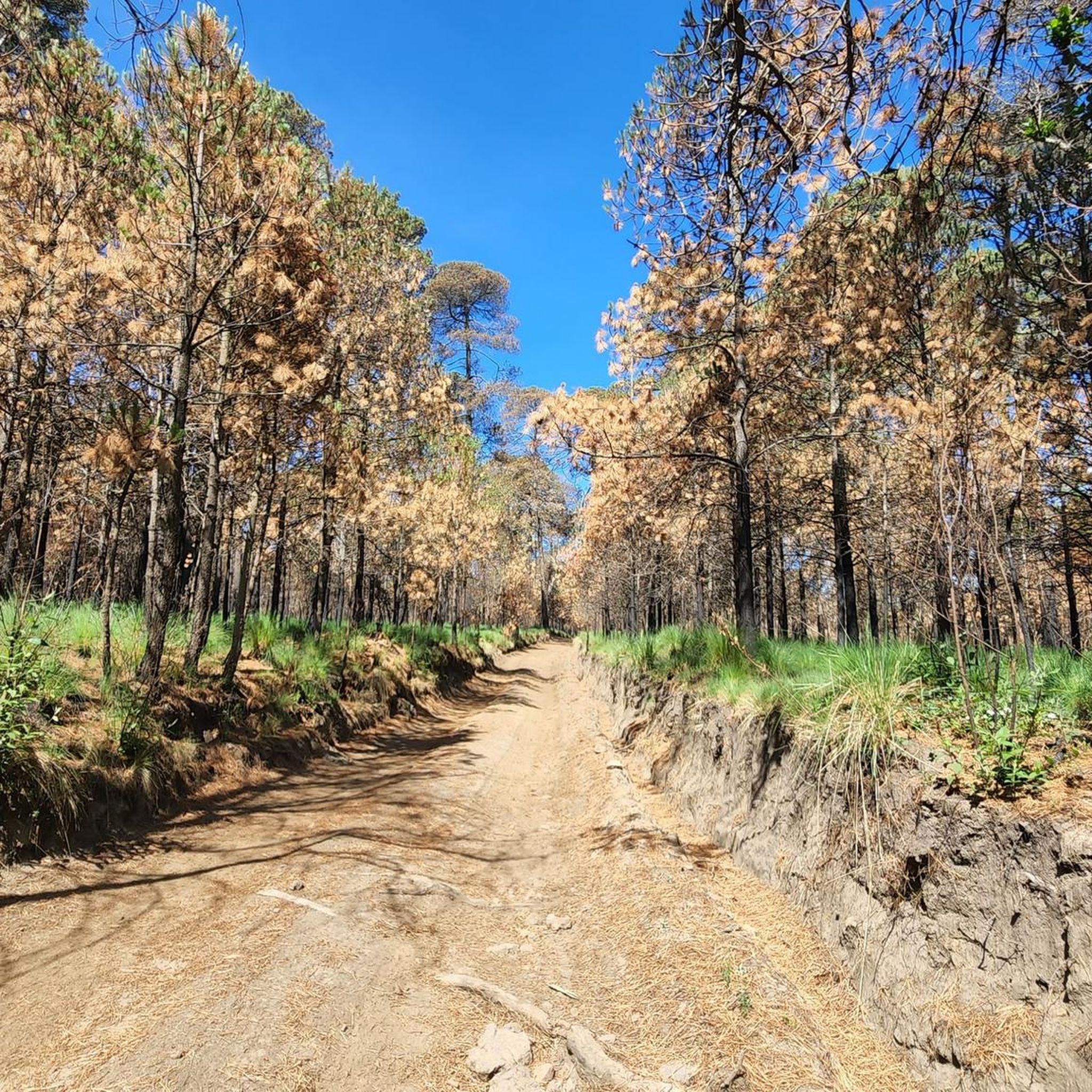
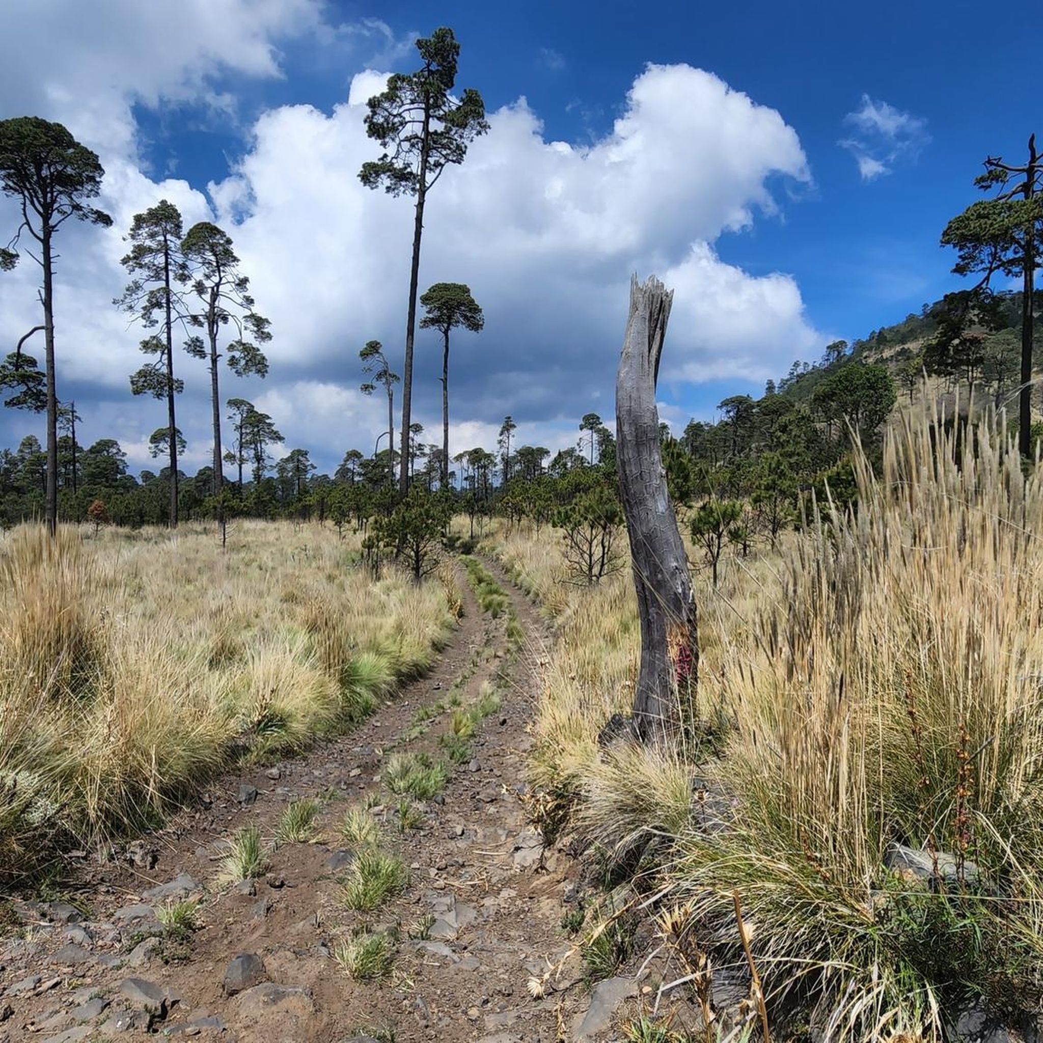
Road cycling routes in Tenango Del Aire are characterized by varied topography and significant elevation changes, situated within the Trans-Mexican Volcanic Belt. The municipality lies at altitudes ranging from 2,285 to 2,800 meters above sea level, featuring an "accidented and fertile" terrain. This includes numerous hills and mountains, such as Cerro de Tezoyuca, offering challenging climbs and scenic descents through mountainous and wooded landscapes.
Best road cycling routes in Tenango Del Aire
- The most popular road cycling route is La…
Last updated: July 16, 2026
5.0
(2)
110
riders
142km
07:28
2,380m
2,380m
Hard road ride. Very good fitness required. Mostly well-paved surfaces and easy to ride.
5.0
(2)
41
riders
50.5km
03:06
1,330m
1,330m
Hard road ride. Very good fitness required. Mostly well-paved surfaces and easy to ride.

Sign up for free
4.8
(4)
20
riders
88.0km
04:04
880m
880m
Moderate road ride. Good fitness required. Mostly well-paved surfaces and easy to ride.
16
riders
81.6km
04:02
1,260m
1,260m
Hard road ride. Very good fitness required. Mostly well-paved surfaces and easy to ride.
3
riders
42.9km
01:53
400m
400m
Moderate road ride. Good fitness required. Mostly well-paved surfaces and easy to ride.
5.0
(1)
1
riders
38.4km
01:55
300m
300m
Moderate road ride. Good fitness required. Mostly well-paved surfaces and easy to ride.
Our route recommendations are based on thousands of hikes, rides, and runs completed by other people on komoot.
Start today with a free account
Your next adventure awaits.
Login or Signup
Popular around Tenango Del Aire
Tips from the Community


Ideal for a final uphill sprint and a break or as a meeting point for the group. 🚴
0
0
Ideal for taking a break with the group and spending some quality time in the shop. 🙌🏼✨
0
0

La Loma, a classic cycling spot where the climb from San Gregorio ends (if you're coming from Xochimilco), is also the crowning glory when coming from Tlayacapan (30 km, almost all uphill, 1,200 m total climb) or Juchitepec (8 km, 350 m total climb). You can enjoy the panoramic view with quesadillas, coffee, beer, pulque, etc. Weather permitting, you'll be able to see the volcanoes in the distance. Whether you're heading elsewhere, a stop here is definitely a must. Enjoy the view and have a safe trip to your destination!
2
0
This colorful mural decorating the staircase of Junco Alley is located in the Cuautzozongo neighborhood of Juchitepec. The alley begins with a stone archway announcing the Calzada de San Felipe, which is curious because none of the nearby streets have that name, and the alley itself isn't named that either. You'll have to ask the locals why they named it that way. At the entrance is a small white chapel of San Isidro Labrador, and the street leading to this site has a striking stone wall, reminiscent of a medieval castle, demarcating a field of crops. At the entrance to the alley is a small shop, and at the end, there are sometimes tacos.
2
0
Amecameca de Juaréz is the municipal capital. It's a well-known town and a popular destination for visitors to the volcanoes, as it's located right at the foot of the volcanoes and is a national tourism area. There's almost everything here, plenty of food (the market, stalls, and shops), and there are bike repair shops if you need them. The plaza is large, with a traditional kiosk and church.
2
0
Frequently Asked Questions
What is the general terrain like for road cycling in Tenango Del Aire?
Tenango Del Aire is situated within the Trans-Mexican Volcanic Belt, offering a varied and often challenging topography. You'll encounter numerous hills and mountains, including prominent elevations like Cerro de Tezoyuca, with altitudes ranging from 2,285 to 2,800 meters above sea level. This means routes feature significant elevation changes, providing both challenging climbs and scenic descents through mountainous and wooded landscapes.
How many road cycling routes are available in Tenango Del Aire?
There are currently 6 road cycling routes detailed for Tenango Del Aire on komoot. These routes cater to various skill levels, from moderate to difficult, ensuring a rewarding experience for most road cyclists.
Are there any easy road cycling routes for beginners in Tenango Del Aire?
The road cycling routes in Tenango Del Aire are generally categorized as moderate to difficult due to the region's varied and elevated terrain. There are no routes specifically classified as 'easy' for beginners. However, routes like the Monumento de Ayapango – Reverse Plan loop from Juchitepec or the Monumento de Ayapango – Amecameca town center loop from Santa María are rated as moderate and could be a good starting point for those looking for less extreme challenges.
What are some of the more challenging road cycling routes in the area?
For experienced road cyclists seeking a challenge, routes like the La Loma Viewpoint – San Lorenzo Viewpoint loop from Tlahuac, spanning over 142 km with significant elevation gain, or the Paso de Cortés – Paso de Cortés Monument loop from Amecameca, which offers substantial climbing through volcanic landscapes, are excellent choices. Another difficult option is the San Lorenzo Viewpoint – La Loma Viewpoint loop from Colonia San Sebastián.
Are there any loop road cycling routes in Tenango Del Aire?
Yes, many of the road cycling routes in Tenango Del Aire are designed as loops, allowing you to start and finish at the same point. Examples include the La Loma Viewpoint – San Lorenzo Viewpoint loop from Tlahuac, the Paso de Cortés – Paso de Cortés Monument loop from Amecameca, and the San Lorenzo Viewpoint – La Loma Viewpoint loop from Tepepan.
What kind of scenic viewpoints can I expect on road cycling routes in Tenango Del Aire?
Given its location in the 'region of the volcanoes' and varied topography, road cycling routes in Tenango Del Aire offer impressive natural vistas. You can expect scenic views of mountainous and wooded landscapes, especially from elevated points. The region is also known for its fresh air and stunning sunsets, providing a beautiful backdrop for your rides.
What cultural or historical landmarks can be explored near the cycling routes?
Tenango Del Aire is known as the 'cultural capital of the region of the volcanoes'. While cycling, you might consider visiting the historic Templo y Exconvento Dominico de San Juan Bautista, which features a notable baptismal font from 1710. The Museo Casa de Madera, with its extensive collection, and the Chucóatl Ceremonial Center, an ecological and archaeological reserve, also offer insights into the region's rich heritage.
What do other road cyclists say about the routes in Tenango Del Aire?
The road cycling routes in Tenango Del Aire are highly rated by the komoot community, with an average score of 4.9 stars from more than 9 reviews. Cyclists often praise the varied terrain, challenging climbs, and the beautiful mountainous and wooded landscapes that define the region.
What is the best season for road biking in Tenango Del Aire?
While specific seasonal recommendations aren't detailed, the region's high altitude (2,285 to 2,800 meters) suggests that weather conditions can vary. It's generally advisable to check local weather forecasts before planning your ride, especially regarding temperature and potential rainfall, to ensure comfortable and safe cycling conditions.
Are there any family-friendly road cycling options in Tenango Del Aire?
Due to the 'accidented' and elevated terrain, most road cycling routes in Tenango Del Aire are categorized as moderate to difficult. This suggests that they might be more suitable for experienced cyclists rather than families with young children or those seeking very gentle rides. There are no routes specifically designated as 'easy' or 'family-friendly' in the current selection.
Are there options for parking near the road cycling routes?
While specific parking locations are not detailed for each route, many routes start from towns or larger areas like Tlahuac, Amecameca, Tepepan, or Juchitepec. It is generally recommended to research parking availability in these starting locations prior to your ride.
What kind of elevation gain can I expect on these routes?
Given the region's topography within the Trans-Mexican Volcanic Belt, you can expect significant elevation changes. For instance, the La Loma Viewpoint – San Lorenzo Viewpoint loop from Tlahuac features over 2,300 meters of elevation gain, while the Paso de Cortés – Paso de Cortés Monument loop from Amecameca includes over 1,300 meters of climbing. Even moderate routes like the San Lorenzo Viewpoint – La Loma Viewpoint loop from Tepepan involve over 850 meters of ascent.
Most popular routes in Tenango Del Aire

Get inspired with the komoot mobile app


Explore more
Browse the best Road cycling routes in other regions.
