The best cycling routes around Hallschlag
4.5
(1891)
8,009
riders
347
rides
Touring cycling around Hallschlag offers routes through the distinctive Vulkaneifel region, characterized by its ancient volcanic geology. The landscape features river valleys, such as the Kyll River, alongside extensive forests and meadows. Elevations in the broader Vulkaneifel county range between 150 and 700 meters above sea level, providing varied terrain for cyclists. The region also incorporates former railway lines, converted into comfortable cycle paths like the Vennquerbahn, offering mostly flat routes.
Best touring cycling routes around Hallschlag
- The most popular…
Last updated: June 30, 2026
4.5
(34)
186
riders
107km
06:27
880m
880m
Hard bike ride. Very good fitness required. Mostly paved surfaces. Suitable for all skill levels.
5.0
(7)
23
riders
41.0km
02:41
420m
420m
Moderate bike ride. Good fitness required. Mostly paved surfaces. Suitable for all skill levels.

Sign up for free
4.2
(9)
26
riders
Moderate bike ride. Good fitness required. Mostly paved surfaces. Suitable for all skill levels.
4.8
(6)
27
riders
Hard bike ride. Very good fitness required. Mostly paved surfaces. Suitable for all skill levels.
5.0
(4)
18
riders
Hard bike ride. Very good fitness required. Mostly paved surfaces. Suitable for all skill levels.
Get access to more routes and recommendations from other explorers.
Sign up for free
Already have an account?
Our route recommendations are based on thousands of hikes, rides, and runs completed by other people on komoot.
Start today with a free account
Your next adventure awaits.
Login or Signup
Tips from the Community

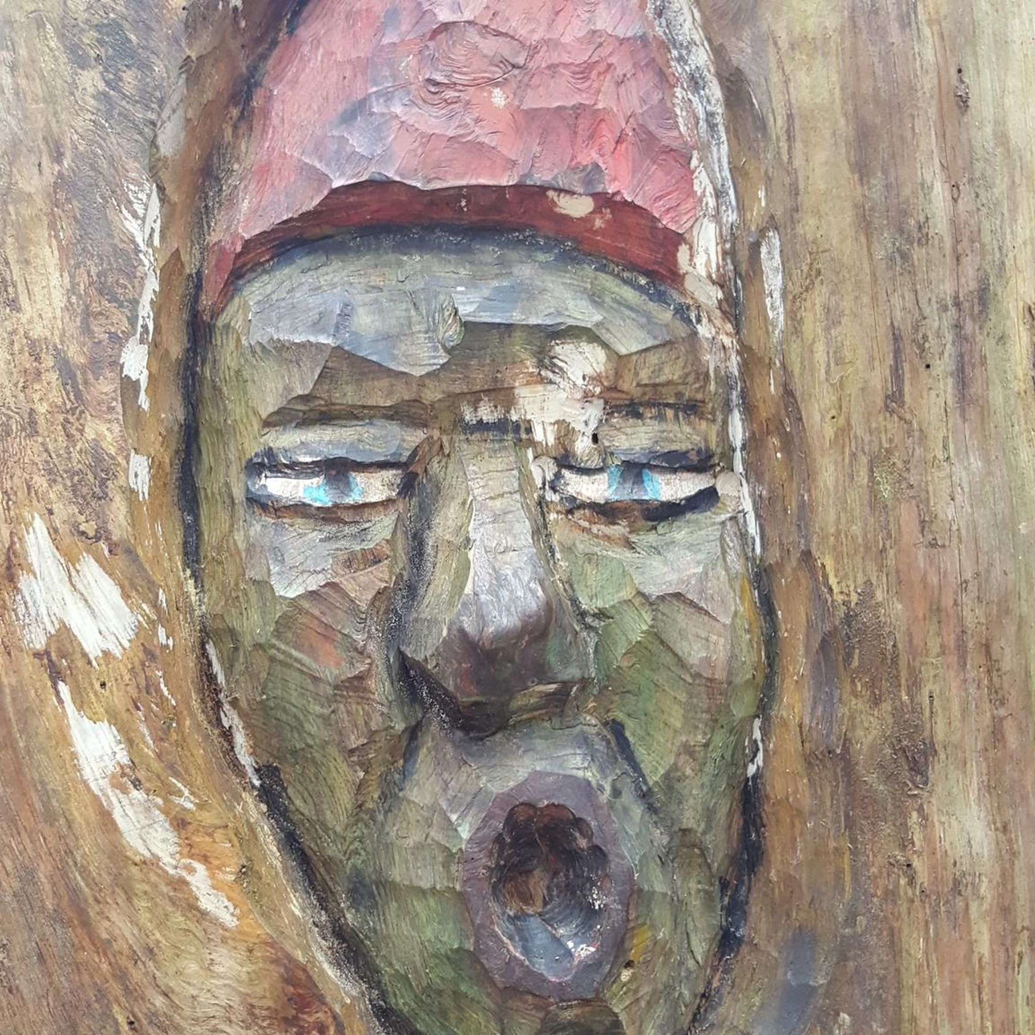
Fun wind chime fitting for the path
0
0

The Glaadtbachtal is one of the quieter and less touristy valleys in the region. The Glaadtbach flows through a narrow low mountain valley with meadows, wetlands, wooded slopes, and small villages. The area is strongly volcanic and geologically shaped – typical for the Eifel. You can find old rock formations, stream meadows, and calcareous soils. Historically, the region was primarily agricultural, later small mills, ore mining, and forestry were added. Of particular natural interest are the wetlands and near-natural stream sections. Numerous amphibians, rare insect species, and typical Eifel bird species live there.
1
0


Beautiful spacious resting place. You really have extremely much space here.
0
0
Rode today and it was very easy. Beautiful views in many places, hardly any in others, as there are hills or hedges/trees on the left and right. But a perfect path for relaxed cycling and making good progress.
0
0
Good solid cycle path. With good views in some places. But not everywhere.
0
0

The Bütgenbach dam was built between 1929 and 1932. The main function of the dam is to regulate the course of the Warche river. This created the lake of Bütgenbach. It is a starting point for beautiful, popular hiking routes: for example, a 10-kilometer walk can be made around the lake.
15
0

The Kronenburg reservoir, also known locally as Lake Kronenburg, was built between 1973 and 1979 as a flood control basin to protect against flooding from the Kyll and Taubkyll rivers and was put into operation in 1976. The reservoir is a popular local recreation area and destination for holidaymakers, offering water sports opportunities for sailing, surfing, rowing, fishing, and swimming. A large leisure complex on the southern shore of the lake provides various play, sports, and recreational activities. It includes a park with 160 bungalows, a bathing area with a large sunbathing lawn, a sailing and surfing school, a boat rental, tennis courts, a bocce court, a miniature golf course, barbecue huts, children's playgrounds, a kiosk, and a cafeteria. Since 2010, the Kronenburg Lake Rowing Club (SRV Kronenburg See), which primarily promotes youth rowing, has also been located on its eastern shore. The Lake Kronenburg holiday park also operates an indoor swimming pool. A roughly 2.7 km long circular path opens up the reservoir to walkers. In summer, a water rope course, a climbing wall, and a trampoline are available to bathers at the reservoir, not far from the shore. Source: Wikipedia
1
0
Frequently Asked Questions
How many touring cycling routes are available around Hallschlag?
Hallschlag offers a wide selection of touring cycling routes, with over 350 options recorded on komoot. These routes cater to various skill levels, from easy rides to more challenging tours through the Vulkaneifel region.
What kind of terrain can I expect on touring cycling routes near Hallschlag?
The terrain around Hallschlag is shaped by the distinctive Vulkaneifel geology, featuring a mix of river valleys, such as along the Kyll River, and extensive forests and meadows. You'll encounter varied elevations, ranging between 150 and 700 meters above sea level, providing both gentle gradients and more demanding climbs.
Are there any easy touring cycling routes suitable for beginners or families?
Yes, there are numerous easy and moderate routes. For a relatively gentle experience, consider the Trassenbogen near Hallschlag – Vennquerbahn Cycle Path loop from Kronenburg. This moderate 14.0 km path follows the Vennquerbahn Cycle Path, offering a pleasant ride without excessive elevation.
What are some longer touring cycling routes for experienced riders?
Experienced riders looking for a challenge can explore routes like the Just before the border – Vennbahn Viaduct loop from Hallschlag. This difficult route spans 106.6 km and includes sections of the historic Vennbahn railway path, featuring significant elevation gain.
Are there any circular touring cycling routes around Hallschlag?
Many routes in the area are designed as loops. A popular moderate circular route is the Kronenburger Lake – Kronenburger Lake loop from Hallschlag, which covers 40.9 km and offers scenic views around the lake.
What natural features or points of interest can I see along the touring cycling routes?
The region is rich in natural beauty and historical sites. You can cycle past the scenic Kronenburger Lake, explore the Dahlem Moor Boardwalk, or visit the Schwarzer Mann Summit for panoramic views. The Vulkaneifel's volcanic formations and river valleys also provide a unique backdrop.
Are there any historical landmarks accessible by touring bike?
Yes, several historical landmarks are within cycling distance. You can visit the Ruins of Kronenburg Castle or cross the historic Kyll Bridge in Kronenburg, both offering a glimpse into the region's past.
What do other touring cyclists enjoy most about cycling in Hallschlag?
The area is highly rated by the komoot community, with an average score of 4.5 stars from over 1700 reviews. Cyclists often praise the diverse landscapes, the well-maintained paths, and the variety of routes that cater to different fitness levels, from gentle river valley rides to challenging climbs through the Eifel hills.
Can I find routes that follow old railway lines?
Yes, the region is known for its 'rail trail' conversions. The Kronenburger Lake – Vennquerbahn Cycle Path loop from NSG Honertseifen und Heinborn is a moderate 22.8 km route that utilizes the former Vennquerbahn railway line, offering a relatively flat and enjoyable ride.
Are there routes that pass through the Glaadtbach Valley?
Indeed, the Glaadtbach Valley – Kyll Bridge, Jünkerath loop from Kronenburgerhütte is a popular difficult route covering 50.3 km. It leads through the scenic Glaadtbach Valley and crosses the Kyll River, offering beautiful natural vistas.
Most popular routes around Hallschlag
Most popular attractions around Hallschlag

Get inspired with the komoot mobile app


Explore more
Browse the best Cycling routes in other regions.
