The best walks and hikes in Santa Catarina
4.9
(87)
700
hikers
15
hikes
Hiking in Santa Catarina offers diverse landscapes, ranging from coastal trails and beaches to dramatic mountain ranges and impressive canyons. The region is characterized by lush Atlantic forests, high-altitude plateaus, and numerous rivers and waterfalls. Hikers can explore a variety of terrains, including volcanic formations, dense woodlands, and open coastal paths.
Best hiking trails in Santa Catarina
- The most popular hiking route is View of San Pedro Garza García – El Aire Pass loop from Chipinque, a 5.4 miles…
Last updated: July 16, 2026
5.0
(17)
171
hikers
Moderate hike. Good fitness required. Mostly accessible paths. Sure-footedness required.
4.8
(12)
81
hikers
12.9km
04:25
680m
680m
Moderate hike. Good fitness required. Easily-accessible paths. Suitable for all skill levels.

Sign up for free
5.0
(2)
34
hikers
4.60km
02:34
640m
640m
Moderate hike. Good fitness required. Easily-accessible paths. Suitable for all skill levels.
14
hikers
9.61km
03:36
590m
590m
Moderate hike. Good fitness required. Mostly accessible paths. Sure-footedness required.
5.0
(2)
20
hikers
10.5km
03:26
440m
440m
Moderate hike. Good fitness required. Mostly accessible paths. Sure-footedness required.
4
hikers
3.95km
01:30
260m
260m
Easy hike. Great for any fitness level. Easily-accessible paths. Suitable for all skill levels.
5.0
(1)
4
hikers
1.69km
00:41
120m
120m
Easy hike. Great for any fitness level. Easily-accessible paths. Suitable for all skill levels.
5
hikers
725m
00:26
110m
110m
Easy hike. Great for any fitness level. Easily-accessible paths. Suitable for all skill levels.
Get access to more routes and recommendations from other explorers.
Sign up for free
Already have an account?
Our route recommendations are based on thousands of hikes, rides, and runs completed by other people on komoot.
Start today with a free account
Your next adventure awaits.
Login or Signup
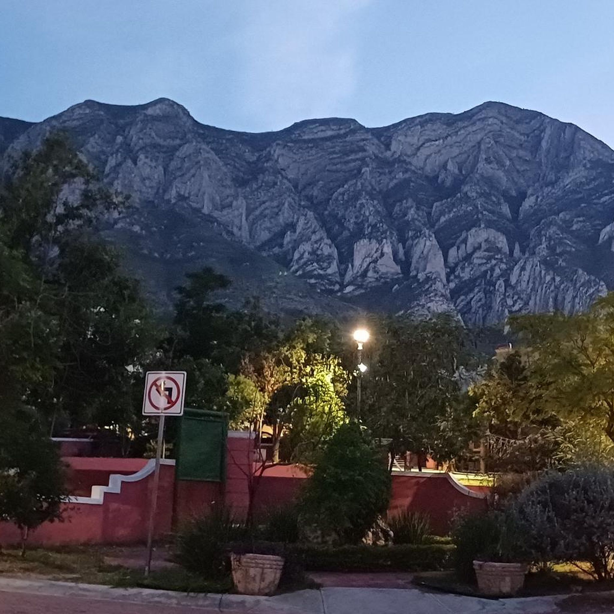
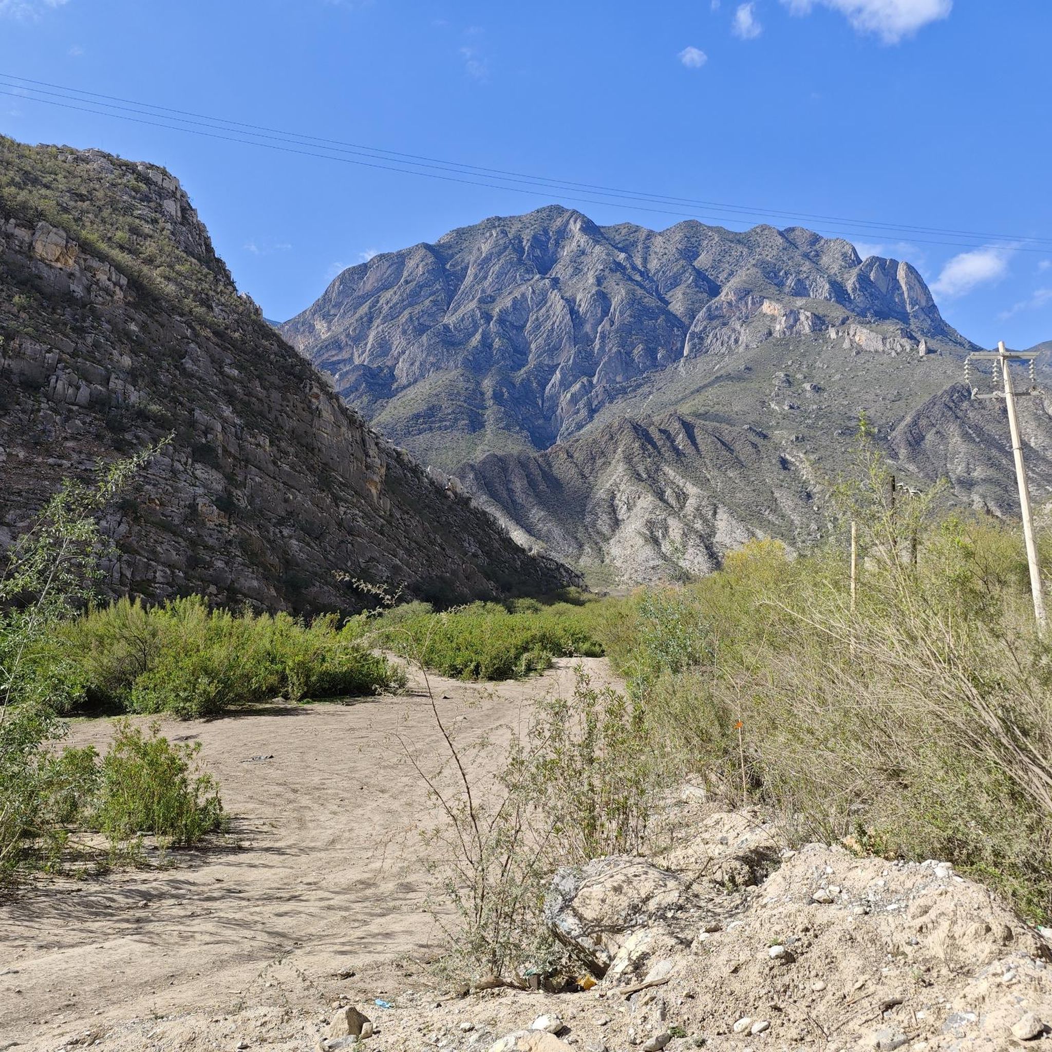
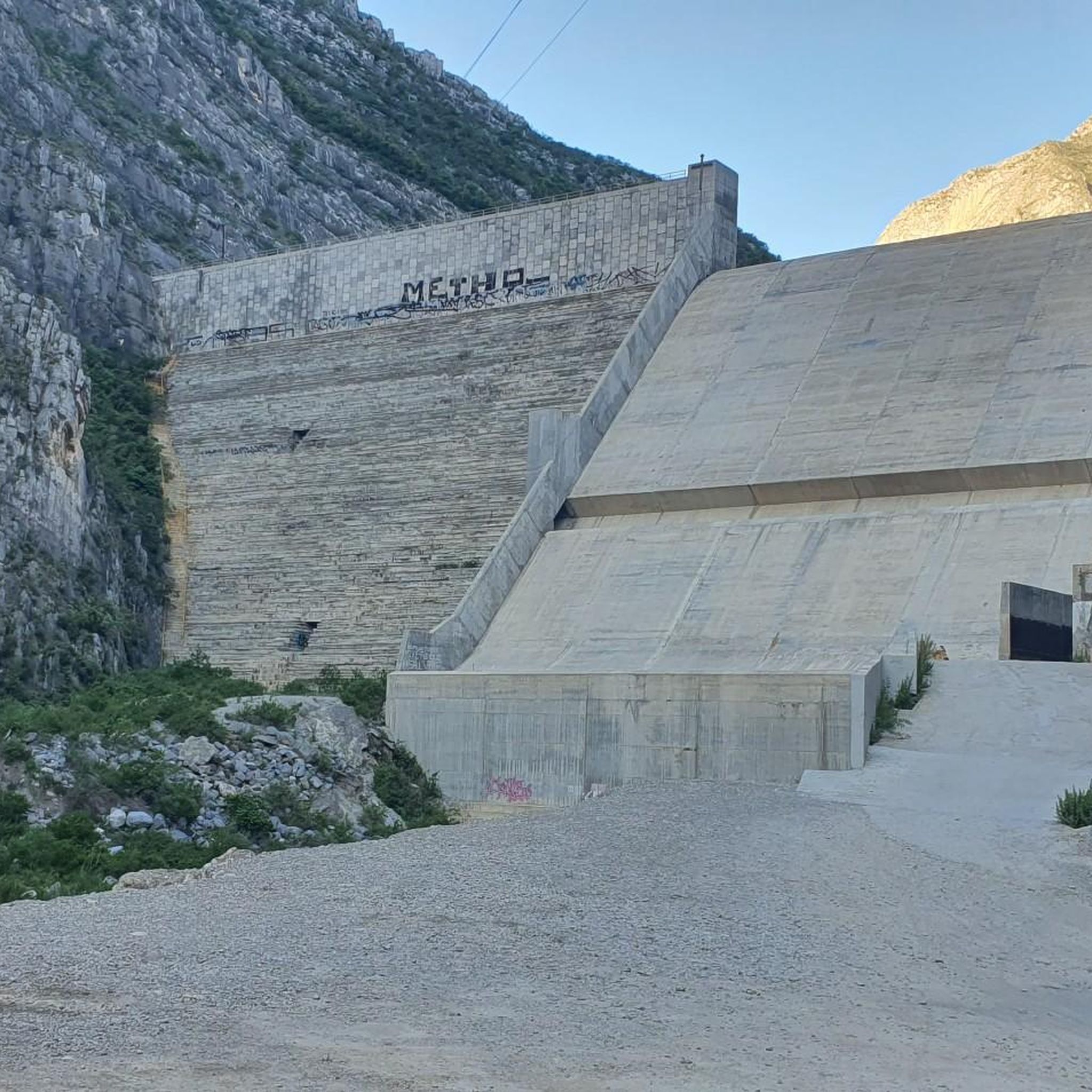
Tips from the Community

Very enjoyable quiet walk
1
0


This path runs below the overcrowded main path. Although it has more ups and downs, the landscape is very beautiful and far less frequented.
0
0

View on Monterrey from the El Pinal (1500hm).
2
0
Frequently Asked Questions
How many hiking trails are available in Santa Catarina?
Santa Catarina offers a variety of hiking experiences, with over 15 routes documented on komoot. These trails cater to different skill levels, including 5 easy, 8 moderate, and 2 difficult options, ensuring there's something for everyone.
Are there easy hiking trails suitable for families in Santa Catarina?
Yes, Santa Catarina features several easy trails perfect for families. For instance, the View of San Pedro Garza García loop from Reserva Natural Chipinque is an easy 5.5 km route. Another accessible option is the Cerro La Florida loop from Reserva Natural Chipinque, which is 5.3 km long. These trails are generally less strenuous and offer pleasant walks through natural settings.
Can I bring my dog on hikes in Santa Catarina?
While many natural areas in Santa Catarina are dog-friendly, it's always best to check specific park or trail regulations before heading out. Some protected areas, especially national parks like Aparados da Serra or Serra Geral, may have restrictions to protect wildlife. Always keep your dog on a leash and clean up after them.
Are there any trails with waterfalls in Santa Catarina?
Santa Catarina is rich in waterfalls. The Serra Geral mountain range and the Highlands (Serra Catarinense) are particularly known for dramatic cliffs and cascading waterfalls. While specific komoot routes may not explicitly list waterfalls, areas like Canyon Itaimbezinho and Fortaleza Canyon often feature impressive water features, and the region boasts notable falls like Cascata Avenal and Cascata Rio Digre.
What kind of landscapes can I expect to see while hiking in Santa Catarina?
Hiking in Santa Catarina offers incredibly diverse landscapes. You can explore stunning coastal trails leading to secluded beaches, lush Atlantic forests with rich biodiversity, and dramatic mountain ranges featuring impressive canyons like Itaimbezinho and Fortaleza. The highlands also present cooler climates with green hills and numerous waterfalls, alongside unique Araucaria moist forests.
Are there any challenging or advanced hiking routes in Santa Catarina?
For experienced hikers seeking a challenge, Santa Catarina offers more strenuous options. The Rio do Boi Trail, for example, is known for its demanding route through narrow canyons and riverbeds. While not explicitly listed as 'difficult' in the komoot data, routes with significant elevation gain, such as the El Aire Pass loop from Parque Ecológico Chipinque (12.9 km with 680m elevation gain), provide a good workout. The Pico Paraná hike at Morro da Igreja is also noted for experienced hikers.
What is the best time of year to go hiking in Santa Catarina?
The best time to hike in Santa Catarina generally depends on the region you plan to visit. Coastal areas are pleasant during spring and autumn, avoiding the peak summer heat and crowds. For mountain and canyon regions like Serra Geral, the drier months (typically April to September) offer clearer skies and more comfortable temperatures for hiking, though winter can bring cooler weather to the highlands.
Are there circular hiking routes available in Santa Catarina?
Yes, many trails in Santa Catarina are designed as loops, allowing you to start and end at the same point. Examples include the popular View of San Pedro Garza García – El Aire Pass loop from Chipinque, a moderate 8.6 km route, and the Pico Horcones loop from Los Nogales, a 4.6 km moderate hike. These circular routes are convenient for day trips.
What are some notable natural attractions or landmarks to look out for?
Santa Catarina is home to many impressive natural landmarks. The dramatic **Canyon Itaimbezinho** and **Fortaleza Canyon** in the Serra Geral mountain range are must-sees. On the coast, **Lagoinha do Leste** offers isolated beauty, while **Morro da Igreja** provides panoramic views and access to the iconic **Pedra Furada**. The **Serra do Rio do Rastro** is also a breathtaking mountain road with incredible viewpoints. You can also explore the unique **Araucárias National Park** to see the distinctive Paraná pine trees.
What do other hikers enjoy the most about hiking in Santa Catarina?
The hiking trails in Santa Catarina are highly rated by the komoot community, with an average score of 4.9 stars from over 80 reviews. Hikers often praise the region's diverse terrain, from coastal paths to dense Atlantic forests and dramatic mountain scenery, as well as the panoramic views and the variety of options available for different ability levels.
Is public transport available to reach hiking trailheads in Santa Catarina?
Public transport options vary significantly depending on the specific trailhead. Major cities like Florianópolis have bus services that can take you to some popular coastal trailheads. However, reaching more remote areas, especially in national parks or mountain regions like the Serra Geral, often requires a private vehicle or organized tours. It's advisable to research specific transport options for your chosen trail in advance.
What are the parking options like at Santa Catarina's hiking trails?
Parking availability at trailheads in Santa Catarina can range from designated parking lots at popular parks to roadside parking in more remote areas. For well-known spots like those around Florianópolis or within national parks, you might find paid parking or limited free spaces. It's always recommended to arrive early, especially on weekends, and to check if any specific permits or fees are required for parking or trail access.
Are there any long-distance hiking options in Santa Catarina?
While komoot's listed routes are primarily day hikes, Santa Catarina's diverse landscape lends itself to longer treks. The region's extensive network of trails, particularly in the Serra Geral and coastal areas, could be combined for multi-day adventures. The state's natural parks and protected areas offer opportunities for extended exploration, though these would require careful planning for logistics, accommodation, and supplies.

Get inspired with the komoot mobile app


Explore more
Browse the best Hikes in other regions.
