The 11 Most Amazing Peaks around Naila
Best mountain peaks around Naila are found in a region characterized by the Franconian Forest and its proximity to the Fichtelgebirge mountains. Naila is situated in a low mountain range with dense forests and rolling terrain. This geographical setting provides access to extensive hiking trails and elevated viewpoints. The area offers opportunities for outdoor activities and scenic exploration.
Best mountain peaks around Naila
- The most popular mountain peaks is Prinz-Luitpold Tower on Döbraberg, a viewpoint that provides a beautiful…
Last updated: October 10, 2026
Prinz-Luitpold Tower on Döbraberg
Highlight • Viewpoint
Translated by Google •
Tip by

Frankenwarte Observation Tower
Highlight • Monument
Translated by Google •
Tip by

Sign up now to discover places like this
Get recommendations on the best single tracks, peaks, & plenty of other exciting outdoor places.
Döbraberg
Highlight • Summit
Translated by Google •
Tip by

Ahornberg Summit Viewpoint
Highlight • Summit
The scope and implementation are described in detail at the following link:
lj-reuthlas.de/m_landmachen_19.html
Translated by Google •
Tip by

Eulenburg Hill (678 m)
Highlight • Summit
Translated by Google •
Tip by

Sign up for free to discover even more peaks around Naila.
Already have an account?
Start today with a free account
Your next adventure awaits.




Tips from the Community

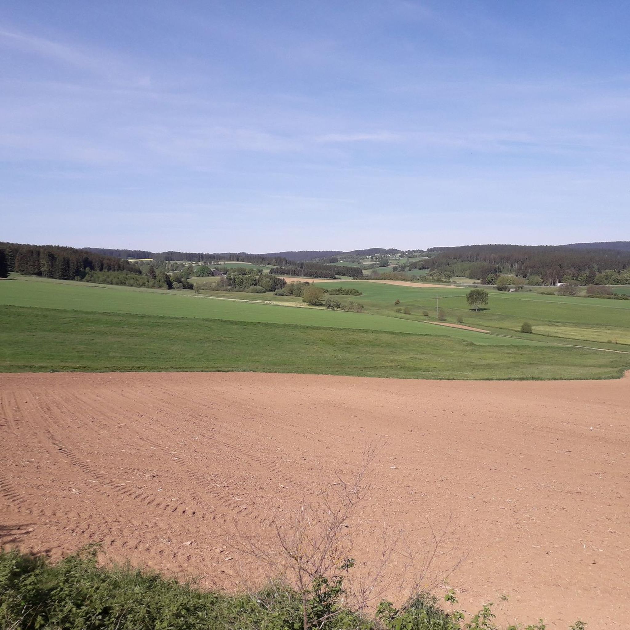
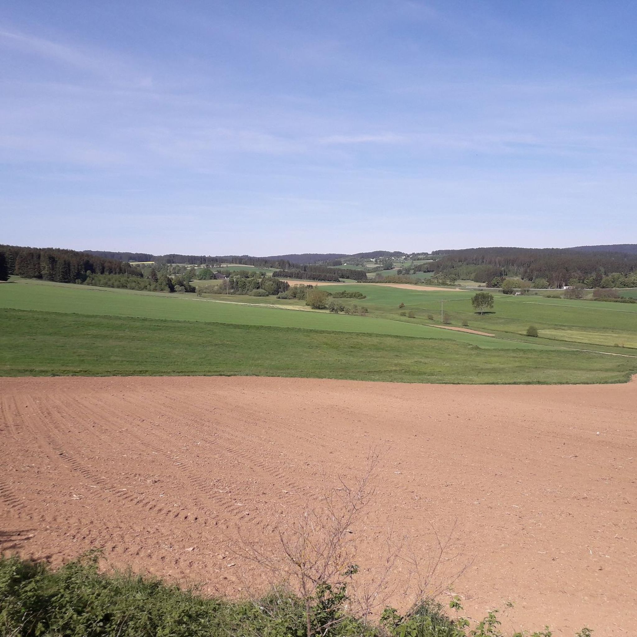
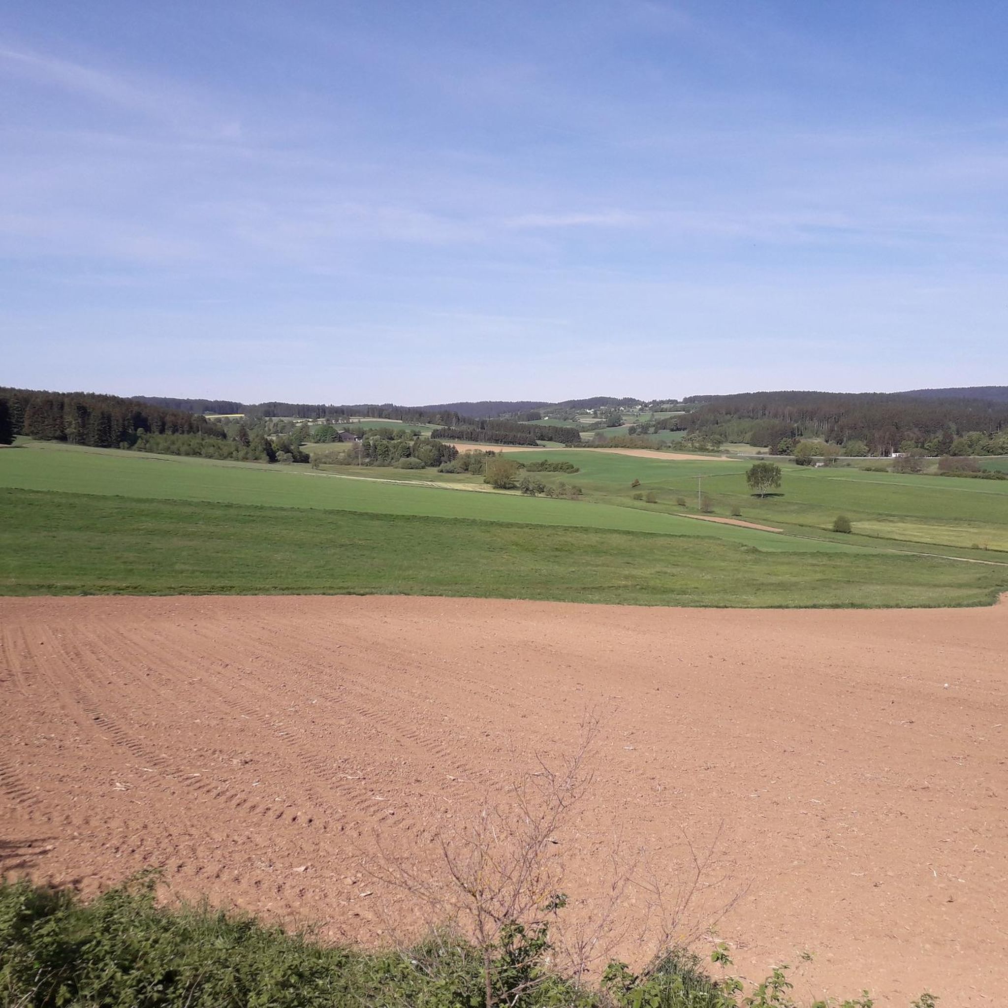
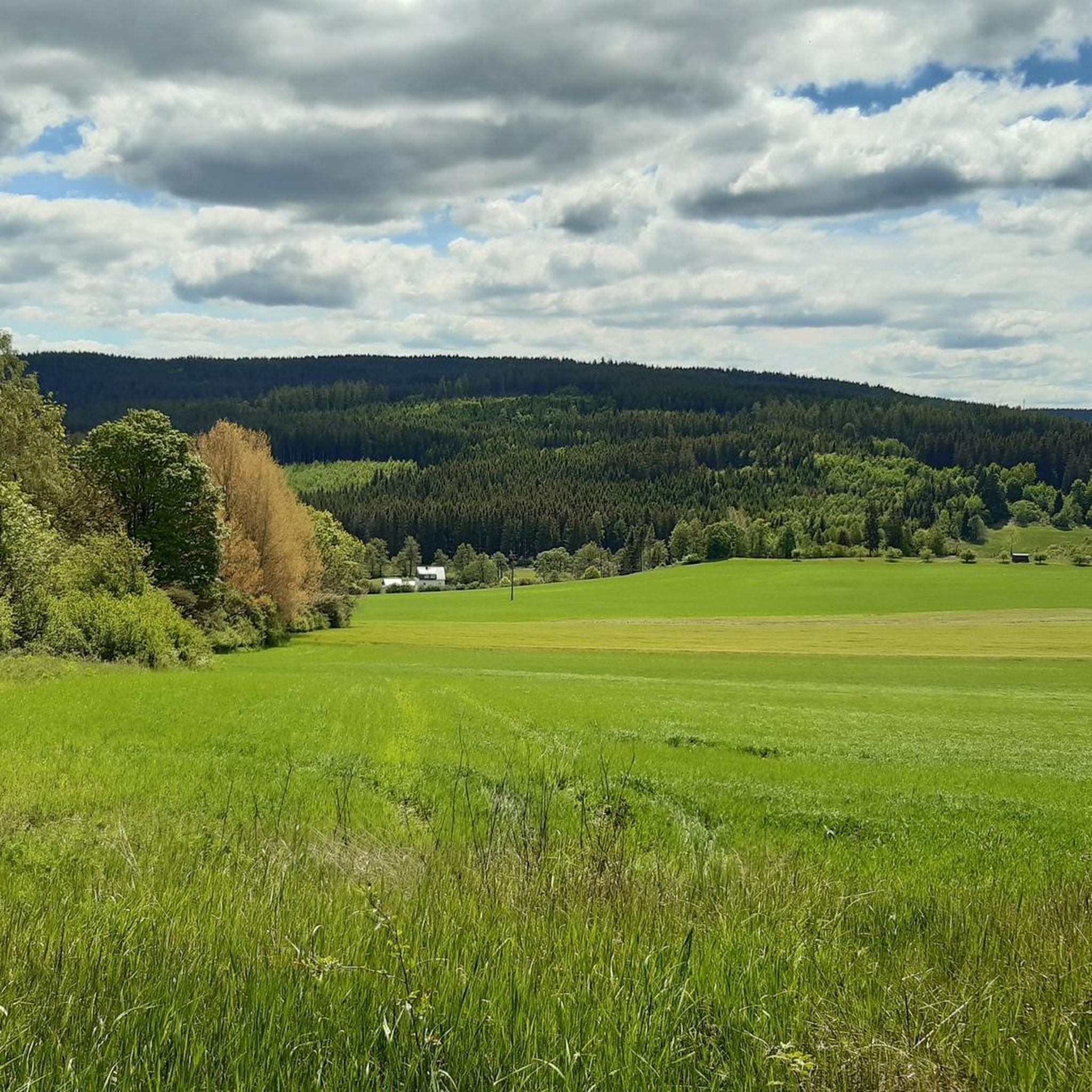
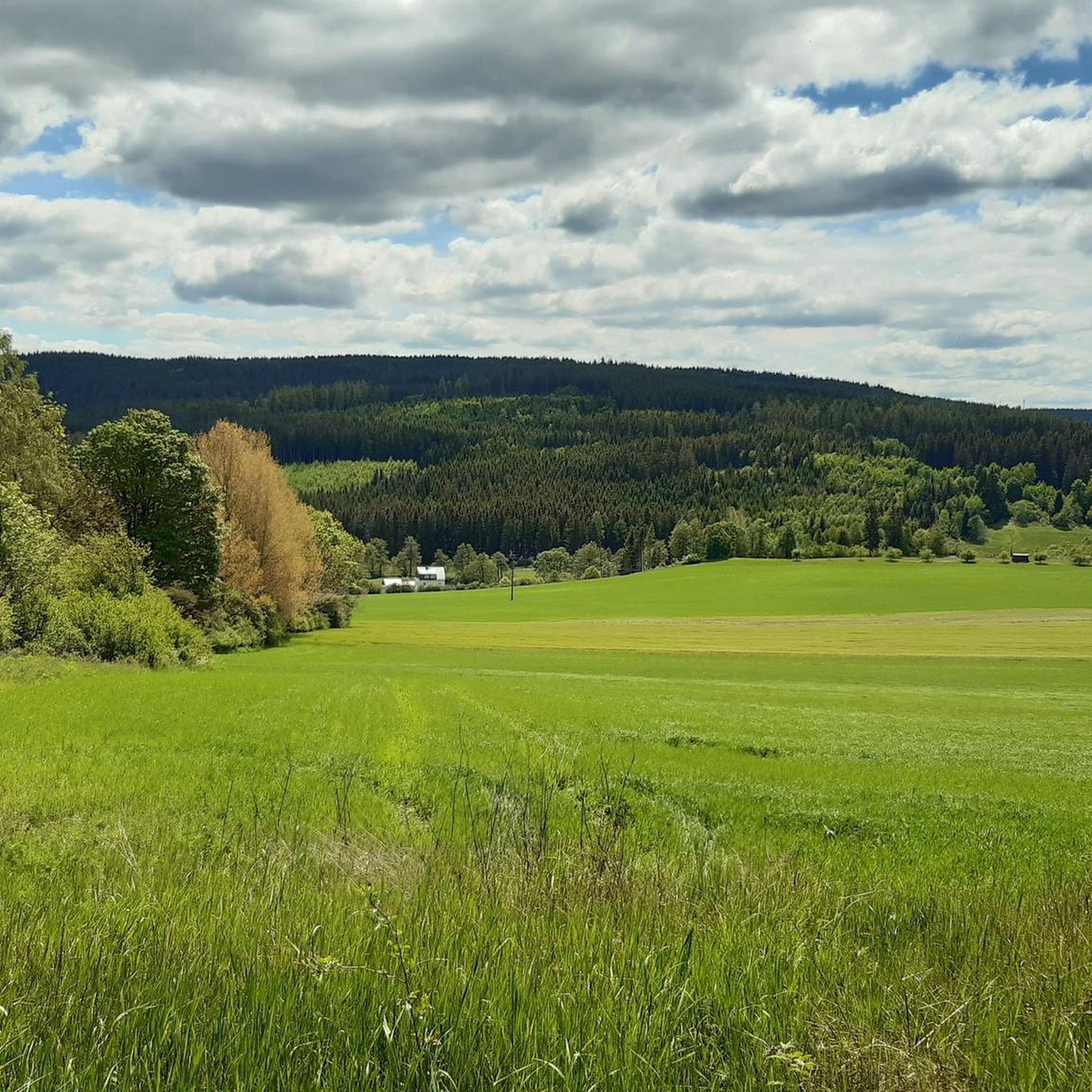
A beautiful "summit" in beautiful weather with a magnificent distant view into the Frankenwald and the Fichtelgebirge.
0
0

The Frankenwarte (Frankenwarte) stands atop the 679-meter-high Hirschhügel (Hirschhügel). The eight-and-a-half-meter-high, round stone tower offers a panoramic view to the northeast, to the edge of the Höllental valley, to Lichtenberg and Bad Steben, and to the west to the hills near Nordhalben. To the south, Geroldsgrün, the 729-meter-high Spitzberg, and the 758-meter-high Schneidberg can be seen, and hidden behind them, the highest peak in the Franconian Forest, the 794-meter-high Döbraberg. To the southeast, the view extends to the Fichtel Mountains. The Frankenwarte was built and is maintained by the Franconian Forest Association. Plans to build an observation tower on the hill existed as early as 1930. However, the Frankenwarte was not inaugurated until August 12, 1951. In 2020, panoramic panels were installed on the parapet of the viewing platform, illustrating the towns and landscape features visible from here.
13
0

Easy to see from the A9, especially when the cross is lit. I've always wanted to go up there. The facility is beautiful. Unfortunately, the transmission mast also has to be there. You can see the Döbraberg very well to the west, recognizable by its sphere from the military position. Towards the (south)east you have the Fichtelgebirge in front of you. The Ochsenkopf with its transmission tower and Schneeberg with its former military tower are particularly easy to recognize.
1
1
Numerous hiking trails in the region lead past here. The Franconian Forest Association provides information in the entrance area about the special features of the tower and the region. There are plaques at the top to help you find your way around.
5
1
There used to be a manor and a tower for transmitting messages here. The towers for transmitting messages were u.A. also around the Plassenburg in Kulmbach. Often used as a warning signal of enemy attacks.
0
0

my home territory. Around the Döbraberg you can cross-country ski in winter on a groomed trail. Otherwise there are many forest and trail paths for biking. The view from the mountain rescue hut is unique. Here you can also stay overnight on 4 pitches with a tent. You can register via the Franconian Forest Tourism Portal
5
0

Beautiful panoramic view with a summit cross plus book and hut to shelter and have a snack.
0
0

The Frankenwarte is an observation tower of the Frankenwaldverein. It is located on the Hirschhügel hill near Hirschberglein, a district of Geroldsgrün in the Franconian Forest. Planning for the construction of the observation tower began in 1930 and was discontinued due to the war. The Franconian Forest Association acquired the site, the 8.5 m high tower was completed and inaugurated in 1951 as the Frankenwarte. Renovations were carried out in the 1980s. The hill is also of natural historical importance with its nutrient-poor grassland. Source: Wikipedia
5
1
Frequently Asked Questions
What are the most popular mountain peaks and viewpoints around Naila?
The region around Naila, situated in the Franconian Forest, offers several popular elevated points. Among them, the Prinz-Luitpold Tower on Döbraberg is highly regarded for its expansive views over the Franconian Forest, Fichtelgebirge, and Thuringian Forest. The Döbraberg itself is the highest peak in the Franconian Forest, offering great regional views and a well-developed cycle path network. Another favorite is the Frankenwarte Observation Tower, located on the Hirschhügel, which provides panoramic views with panels illustrating visible towns and landscape features.
Are there family-friendly mountain peaks or viewpoints near Naila?
Yes, the region offers several options suitable for families. The Döbraberg, as the highest peak in the Franconian Forest, is considered family-friendly, especially with its well-developed cycle path network. Additionally, the Ahornberg Summit Viewpoint is an accessible option with a small hut for shelter and a summit book, making it a pleasant destination for a family outing.
What is the best time to visit the mountain peaks around Naila?
The best time to visit the mountain peaks and viewpoints around Naila is generally from spring to autumn. During these seasons, the weather is most favorable for hiking and outdoor activities, and the views are clear. The Prinz-Luitpold Tower on Döbraberg, for instance, is typically closed during the winter months and reopens every year on May 1st.
What kind of outdoor activities can I do near the mountain peaks around Naila?
The region around Naila is excellent for various outdoor activities. You can enjoy extensive hiking on numerous well-maintained trails throughout the Franconian Forest. Cycling is also very popular, with options for mountain biking, gravel biking, and road cycling. For detailed routes, you can explore MTB Trails around Naila, Gravel biking around Naila, and Road Cycling Routes around Naila.
Are there specific hiking trails or routes recommended for beginners around Naila's peaks?
The Franconian Forest, where Naila is located, offers a wide range of hiking trails suitable for various fitness levels, including options for beginners. Many trails provide moderate challenges and immersive wilderness experiences. While specific beginner mountain climbs are not highlighted, the extensive network of paths, such as those around the Döbraberg Walking and Ski Center, are generally accessible for those new to hiking.
Where can I find parking for mountain trails near Naila?
A significant parking facility for hikers is available at the Döbraberg Walking and Ski Center. This large car park serves as a starting point for numerous walking trails and, in winter, for cross-country ski trails. It's located shortly after the village of Döbra when coming from Schwarzenbach a. W.
What natural features can I expect to see around Naila's mountain peaks?
The region is characterized by the Franconian Forest, featuring dense spruce and beech forests, rolling terrain, and picturesque valleys. From elevated points like the Prinz-Luitpold Tower on Döbraberg and the Frankenwarte Observation Tower, you can enjoy stunning panoramic views of these forested hills, distant mountain ranges like the Fichtelgebirge and Thuringian Forest, and open meadows. The area also offers opportunities to observe local wildlife.
Are there opportunities for winter sports near Naila's mountain peaks?
Yes, in winter, the region around Naila transforms into a destination for winter sports, particularly cross-country skiing. The Döbraberg Walking and Ski Center is a key hub, offering groomed cross-country ski trails of various lengths (6 km, 8 km, 15 km classic; 5 km skating). The Döbraberg, being the highest mountain in the Franconian Forest, often has good snow conditions in midwinter.
What makes the Ahornberg Summit Viewpoint unique?
The Ahornberg Summit Viewpoint, at 673 meters, is notable for its eight-meter-high summit cross, which is widely visible and lit during Christmas time. It offers views towards the Döbraberg (recognizable by its radar station sphere) and the Fichtelgebirge, including the Ochsenkopf and Schneeberg. A summit book and a small hut provide a sheltered retreat for visitors.
Can I find cafes or refreshments near the mountain trails around Naila?
While specific cafes directly on every trail are not detailed, the region is generally well-equipped for visitors. The Döbraberg, for example, has a small, wooden summit hut next to the Prinz Luitpold lookout tower, which can serve as a shelter. For more substantial refreshments, you would typically find options in the nearby villages and towns surrounding the Franconian Forest.
What is the significance of the Prinz-Luitpold Tower?
The Prinz-Luitpold Tower on Döbraberg is an iconic lookout tower, sometimes referred to as the 'Eiffel Tower of the Franconian Forest.' Inaugurated in 1902, this 18-meter-high structure offers a breathtaking panoramic view stretching almost 120 km on clear days, encompassing the Franconian Forest, Fichtelgebirge, Thuringian Forest, Erzgebirge, and the Coburger Land. It stands on the Döbraberg, the highest point in the Franconian Forest.
Most popular routes around Naila
Most popular attractions around Naila

Get inspired with the komoot mobile app


Explore more
See even more amazing summits around Naila with these guides:
