The 20 Most Amazing Peaks around Lauterhofen
Mountain peaks around Lauterhofen are characterized by rolling hills and picturesque landscapes, offering diverse terrain for outdoor exploration. The region features elevated areas and viewpoints with natural beauty and historical significance. These locations provide opportunities for hiking and experiencing the local environment. Lauterhofen's surroundings are ideal for those seeking varied outdoor experiences.
Best mountain peaks around Lauterhofen
- The most popular mountain peaks is View of Happurger See from Hohler Fels, a viewpoint that offers magnificent vistas of the Happurg…
Last updated: October 10, 2026
View of Happurger See from Hohler Fels
Highlight • Viewpoint
Translated by Google •
Tip by

Moss-covered rock formations on the Hochberg
Highlight • Natural Monument
Translated by Google •
Tip by

Sign up now to discover places like this
Get recommendations on the best single tracks, peaks, & plenty of other exciting outdoor places.
View from the Mühlkoppe
Highlight • Viewpoint
Translated by Google •
Tip by

Arzberg Tower
Highlight • Viewpoint
Translated by Google •
Tip by

Heinzburg Ruins on Schlossberg
Highlight • Historical Site
Translated by Google •
Tip by

Sign up for free to discover even more peaks around Lauterhofen.
Already have an account?
Start today with a free account
Your next adventure awaits.
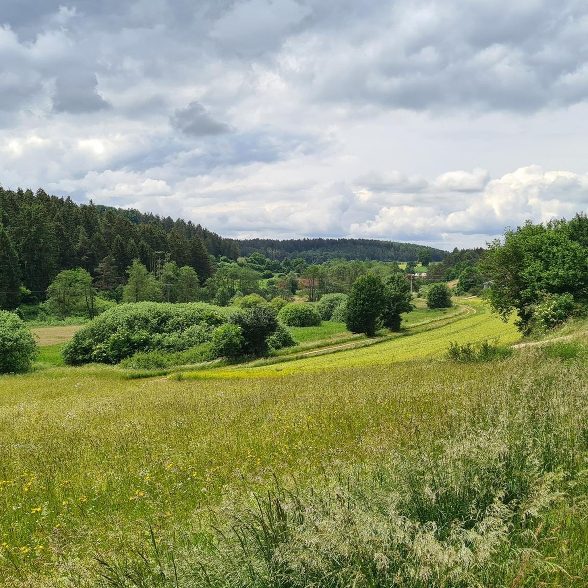
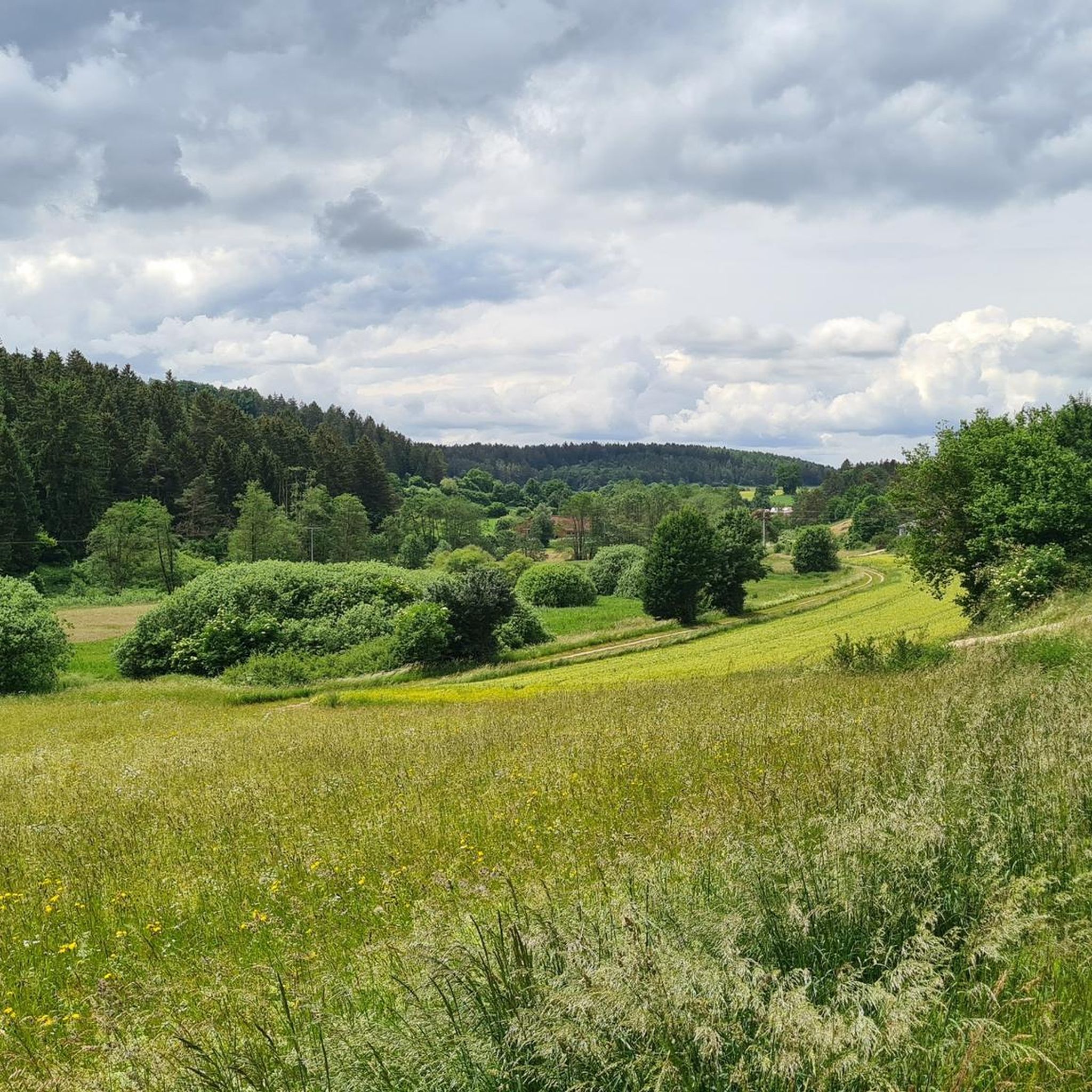
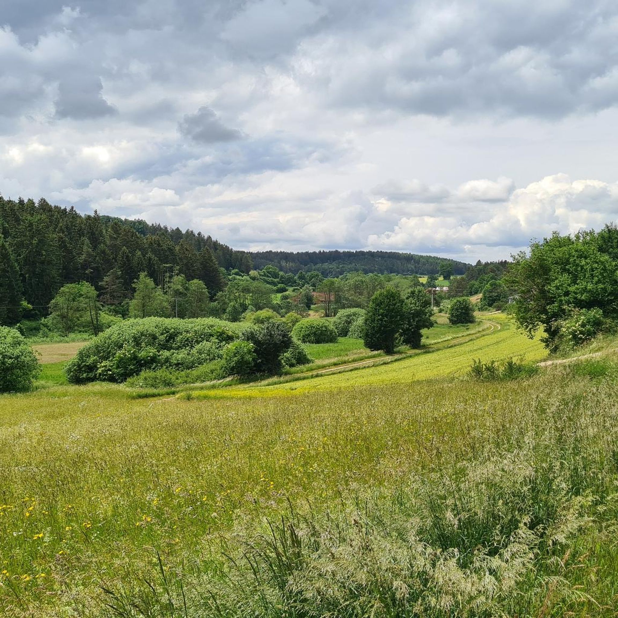
Tips from the Community

Magnificent section of the route, a fantastic highlight for mountain bikers
4
0

Great view from the tower (the key can be borrowed for a fee from the Edelweißhütte, about 1 kilometer away). There is also a table with benches right in front of the beautiful tower.
8
0
Wonderful vantage point with a bench. Further ahead - towards the edge of the rock - there is another small summit cross.
6
0
Magnificent boulders overgrown with moss in the quiet forest.
3
1

Beautiful cross and an additional highlight on the Mühlkoppe.
6
0
On the Schlossberg, a summit of the Dillberg ridge, there is an impressive, round wall and ditch system. The ditches are used by MTB learners, so a beautiful trail system has emerged here.
6
1
On the Schlossberg Heinzburg there is a larger wall and ditch system. The ditches are used by MTB learners, so a beautiful trail system has emerged here.
7
1

There are many impressive large moss covered stones and the artwork "High Mountain Shoes", 2 red high heels carved out of wood.
3
0
Frequently Asked Questions
What are some notable elevated areas and viewpoints to explore around Lauterhofen?
The region around Lauterhofen offers several elevated areas and viewpoints with unique features. You can visit the View of Happurger See from Hohler Fels, which provides magnificent vistas of the Happurg reservoir. Another popular spot is the Arzberg Tower, offering panoramic views over the Frankenalb. The View from the Mühlkoppe is also appreciated for its views of the Högenbachtal and Pommelsbrunn. Beyond these, the Houbirg near Happurg is known for its Celtic oppidum remains, and Buchenberg is part of the scenic Frankenalb Panorama Route.
Are there historical sites or ancient ruins to discover on these elevated areas?
Yes, the region is rich in history. The Houbirg, for instance, is home to an abandoned Celtic oppidum with substantial wall remains. You can also find prehistoric sites and a tunnel complex there. The Moss-covered rock formations on the Hochberg are part of an archaeological circular trail with information boards about Celtic history. Additionally, the Heinzburg Ruins on Schlossberg feature an impressive wall and ditch system, hinting at a former castle.
What kind of natural features can I expect to see on the mountain peaks around Lauterhofen?
You'll encounter diverse natural beauty, including scenic viewpoints overlooking reservoirs like the Happurg See from Hohler Fels. The Hohler Fels itself is a spacious cave, offering a unique natural resting spot. The Moss-covered rock formations on the Hochberg provide a picturesque landscape, and the Buchenberg area features natural limestone formations like the Steinerne Rinne.
Are there family-friendly hiking options around Lauterhofen's elevated areas?
Many trails in the region are suitable for families. For example, the archaeological circular trail on the Hochberg, featuring Moss-covered rock formations, offers varied terrain and opportunities for children to play and explore. The trails leading to the Arzberg Tower are generally easy to navigate, making it a popular destination for all ages.
What outdoor activities can I do near these mountain peaks?
The area around Lauterhofen is excellent for various outdoor activities. You can find numerous hiking trails, including moderate and difficult options like the 'Field Cross with Rest Area – Sculpture at Haus am Habsberg loop' or the 'Jurasteig – Forest Cemetery at Habsberg loop'. For runners, there are several routes such as the 'Running loop from Lauterhofen'. Cyclists can explore road cycling routes like the 'Lauterach Valley Cycle Path – View of Burg Kastl loop'. You can find more details on these activities in the hiking guide, running guide, and road cycling guide for Lauterhofen.
What is the best time of year to visit the mountain peaks and elevated areas around Lauterhofen?
The rolling hills and picturesque landscapes around Lauterhofen are enjoyable throughout much of the year. Spring and autumn offer pleasant temperatures and vibrant scenery, ideal for hiking and exploring historical sites. Summer is also popular, though some viewpoints like Hohler Fels can get busy on weekends. Winter hiking is possible, but check local conditions as some trails might be slippery.
Are there any places to rest or have a picnic with a view?
Yes, many viewpoints are equipped with benches or designated resting spots. The Hohler Fels offers a spacious cave that serves as a great resting spot with scenic views of the Happurg reservoir. Similarly, the View from the Mühlkoppe has a bench, inviting visitors to linger and enjoy the panorama. The Habsberg area also features a 'Feldkreuz mit Rastplatz' (field cross with resting place).
How long do hikes around Lauterhofen's elevated areas typically take?
Hiking durations vary depending on the route and your pace. You can find shorter, easy loops like the 'Running loop from Trautmannshofen' at 4.4 km, or more challenging, longer routes such as the 'Jurasteig – Forest Cemetery at Habsberg loop' which is over 21 km. Many moderate hikes, like the 'Field Cross with Rest Area – Sculpture at Haus am Habsberg loop', are around 11 km, offering a good half-day or full-day excursion.
What do visitors enjoy most about the mountain peaks and elevated areas in this region?
Visitors particularly appreciate the diverse experiences offered. Many enjoy the magnificent views from spots like Hohler Fels and the panoramic vistas from the Arzberg Tower. The combination of natural beauty, historical insights from Celtic settlements, and varied hiking trails makes the region appealing. The komoot community has shared over 4800 photos and given more than 4400 upvotes, highlighting the area's popularity.
Are there any challenging hikes for experienced trekkers?
Yes, for those seeking more challenging routes, the region offers options. The View from the Mühlkoppe is categorized as challenging, and some tips mention the need for sure-footedness on trails like the archaeological circular trail on the Hochberg. Longer and more difficult hiking routes are also available, such as the 'Jurasteig – Forest Cemetery at Habsberg loop' which is over 21 km and rated as difficult.
Can I find cafes or refreshments near the hiking trails?
While specific cafes directly on every trail are not detailed, the Arzberg Tower is a popular hiking and cycling destination, and you can often get the tower key from the Edelweißhütte in Deckersberg on weekends, suggesting amenities in the vicinity. It's always a good idea to check local information for specific opening times and availability of refreshments along your chosen route.
Most popular routes around Lauterhofen
Most popular attractions around Lauterhofen

Get inspired with the komoot mobile app


Explore more
See even more amazing summits around Lauterhofen with these guides:
