The 15 Most Amazing Peaks around Niederdürenbach
Best mountain peaks around Niederdürenbach are found within a landscape characterized by rolling hills, forests, and vineyards, rather than towering summits. This municipality in the Ahrweiler district features a maximum elevation of 543 meters, with an average elevation of 346 meters. The surrounding Eifel region offers diverse terrain for hiking, including scenic views and historical landmarks. Visitors can explore natural features like volcanic cones and Eifel lakes.
Best mountain peaks around Niederdürenbach
- The most popular mountain peaks is View from…
Last updated: July 6, 2026
View from the Landskrone summit
Highlight • Viewpoint
Translated by Google •
Tip by

Gänsehalsturm Observation Tower
Highlight • Viewpoint
Translated by Google •
Tip by

Sign up now to discover places like this
Get recommendations on the best single tracks, peaks, & plenty of other exciting outdoor places.
Sign up for free
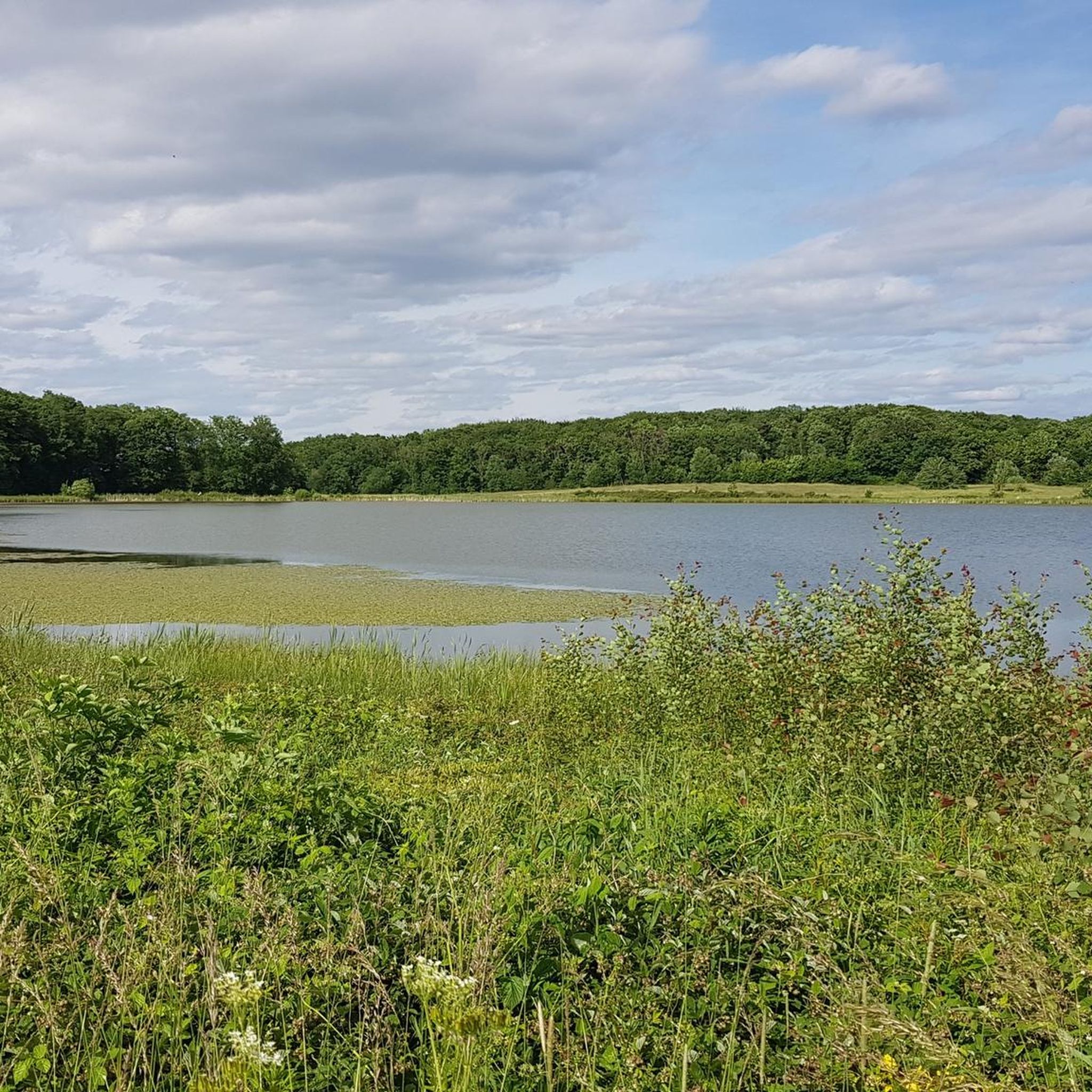
View of Krufter Waldsee from Teufelskanzel
Highlight • Viewpoint
Translated by Google •
Tip by

Weiselstein Observation Tower
Highlight • Viewpoint
Translated by Google •
Tip by

View of Ettringen and Lake Laach from Hochstein
Highlight • Viewpoint
Translated by Google •
Tip by

Sign up for free to discover even more peaks around Niederdürenbach.
Sign up for free
Already have an account?
Start today with a free account
Your next adventure awaits.
Login or Signup
Tips from the Community

NOTE: The observation tower was closed at the end of October 2025. It is unclear when the tower will reopen.
1
0

🎨📷Wonderful panoramic views like here on the dream path 🥾🥾 4 mountains tour ⛰️👍🏻🎨📷
4
0

You should not miss this magnificent all-round view!
8
0

In autumn, the valley is sometimes hidden in fog, especially when the weather is inversion.
8
0

From up here you have a great view of the Ahr Valley.
5
0

Juniper tower - built in 1995 by the "Naturfreunde Oberes Vinxtbachtal" regulars' table
3
0

On the relaxation lounger you can look down over the steep meadow and across to the Hochsimmer. A nice break!
4
0

The path is tough, but so is the view. The Landskrone is also visible from afar, for orientation. Only on New Year's Eve should you think twice whether you want to go here... because many people have the idea, fireworks are sometimes shot across, and if something happens then it could take a while for help to arrive (fortunately that didn't happen to us back then).
7
1
Frequently Asked Questions
What kind of "mountain peaks" can I expect around Niederdürenbach?
Niederdürenbach is characterized by rolling hills, forests, and vineyards, rather than towering mountain peaks. The highest point in the immediate area reaches 543 meters. You'll find numerous viewpoints, historical sites, and natural features that offer scenic vistas and rewarding hikes, typical of the Eifel region's diverse landscape.
Are there any prominent viewpoints or summits with historical significance?
Yes, the View from the Landskrone summit is a significant spot. It offers views towards the Eifel and the Rhineland, and is home to the ruins of Landskron Castle, a high medieval hill fort with a rich history.
What are some other popular observation points in the area?
The Weiselstein Observation Tower provides a breathtaking panoramic view stretching from the Siebengebirge to the Westerwald, especially rewarding after a hike through juniper heaths. Another popular spot is the View of Ettringen and Lake Laach from Hochstein, offering great views of Ettringen and the Eastern Eifel.
Is the Gänsehalsturm Observation Tower currently accessible?
The Gänsehalsturm Observation Tower was closed at the end of October 2025. It is currently unclear when the tower will reopen to visitors.
What natural features can I explore near Niederdürenbach?
Beyond the viewpoints, you can visit the Rodder Maar, a nature reserve with a loop trail around a water lily pond. The Königssee, a former basalt quarry now filled with spring water, offers a tranquil spot. Further afield, the Wolfsschlucht (Wolf's Gorge) features a deep canyon carved by the Tönissteiner Bach and a striking waterfall.
Are there any specific viewpoints offering views of lakes?
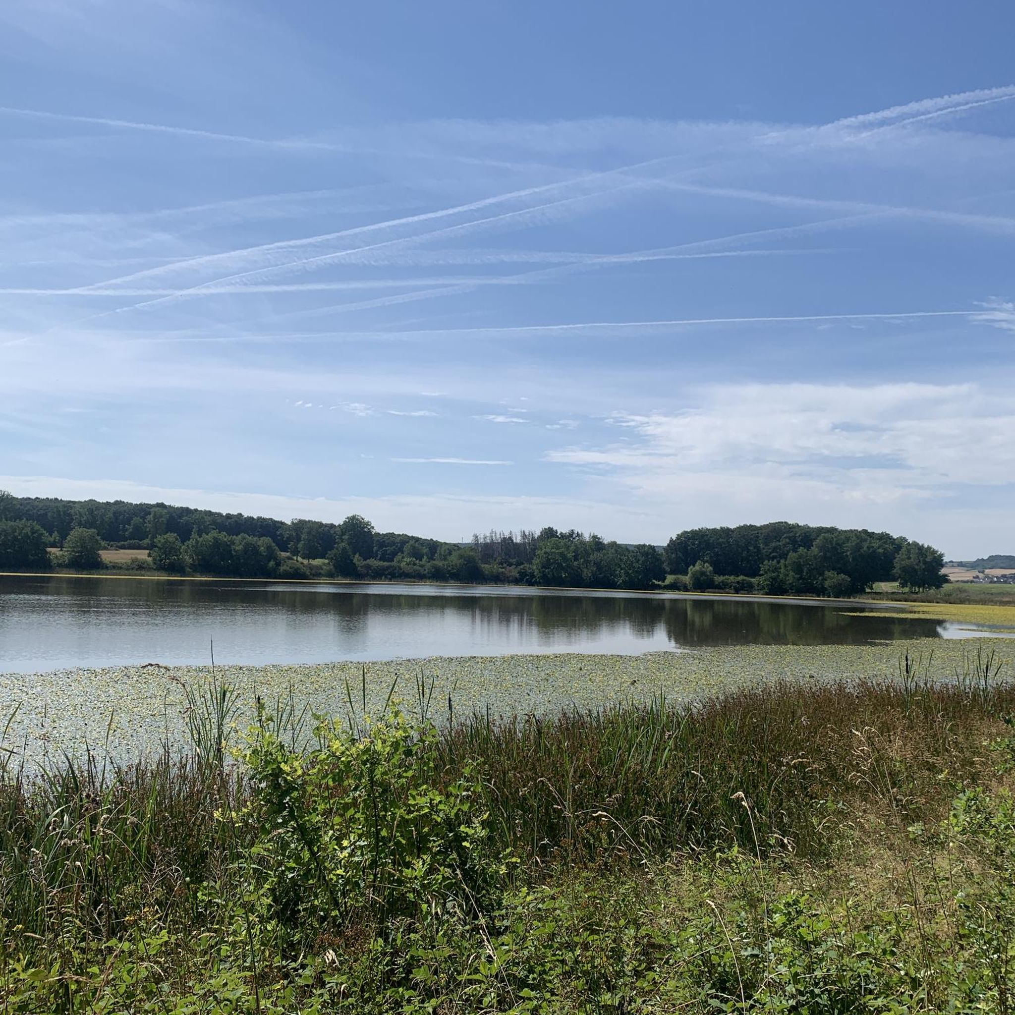
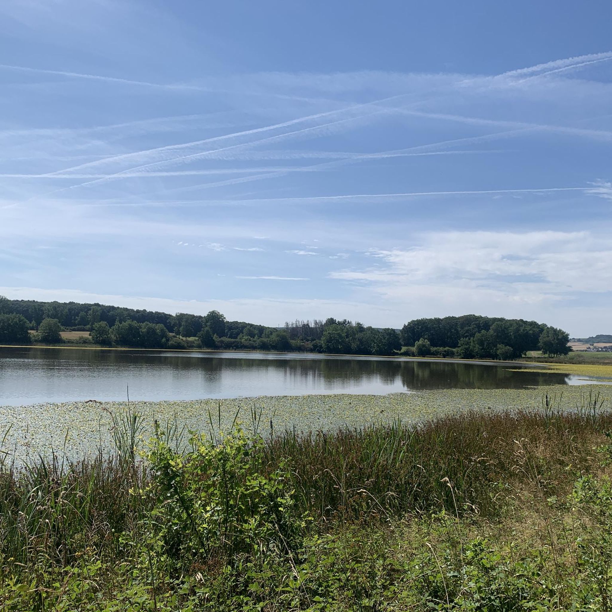
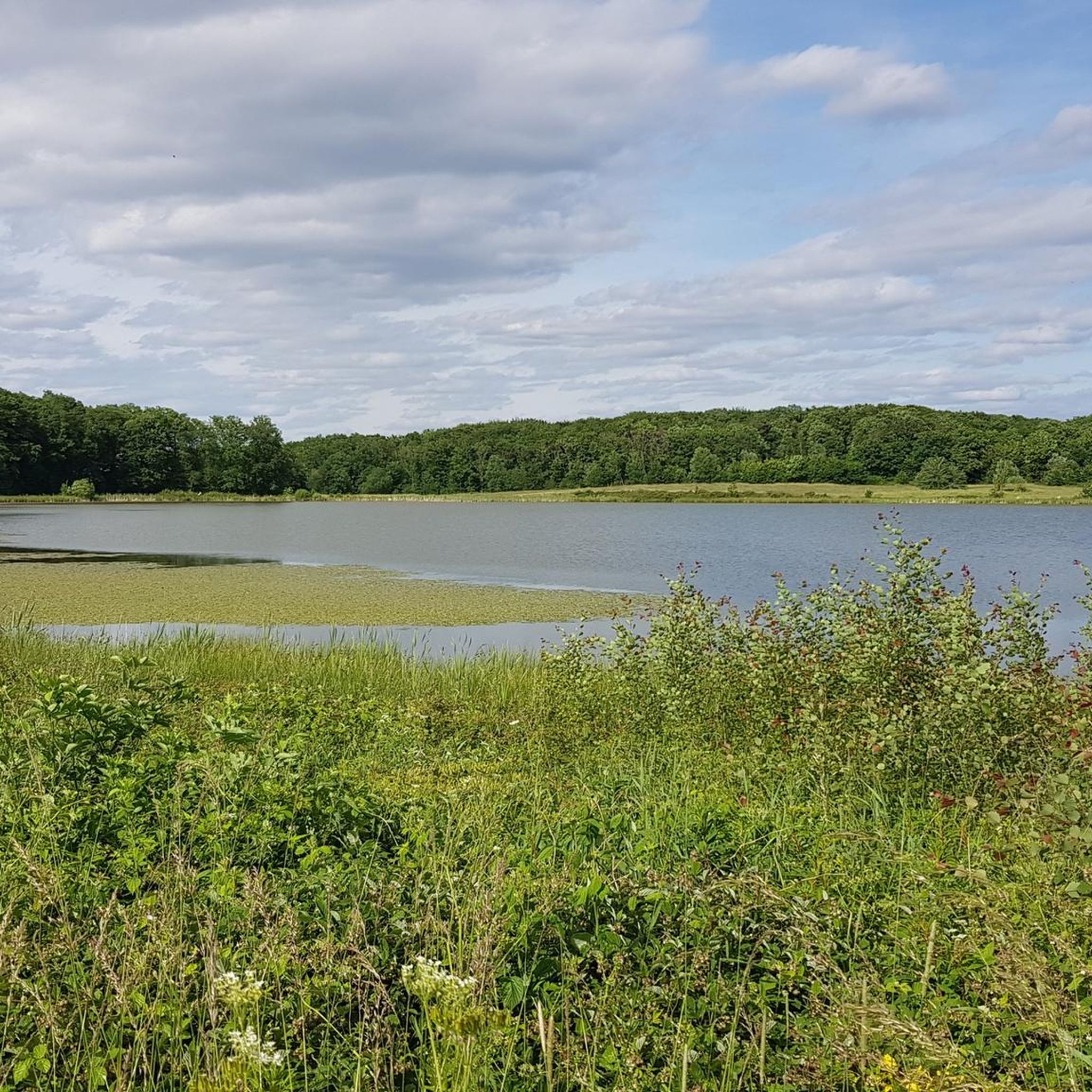
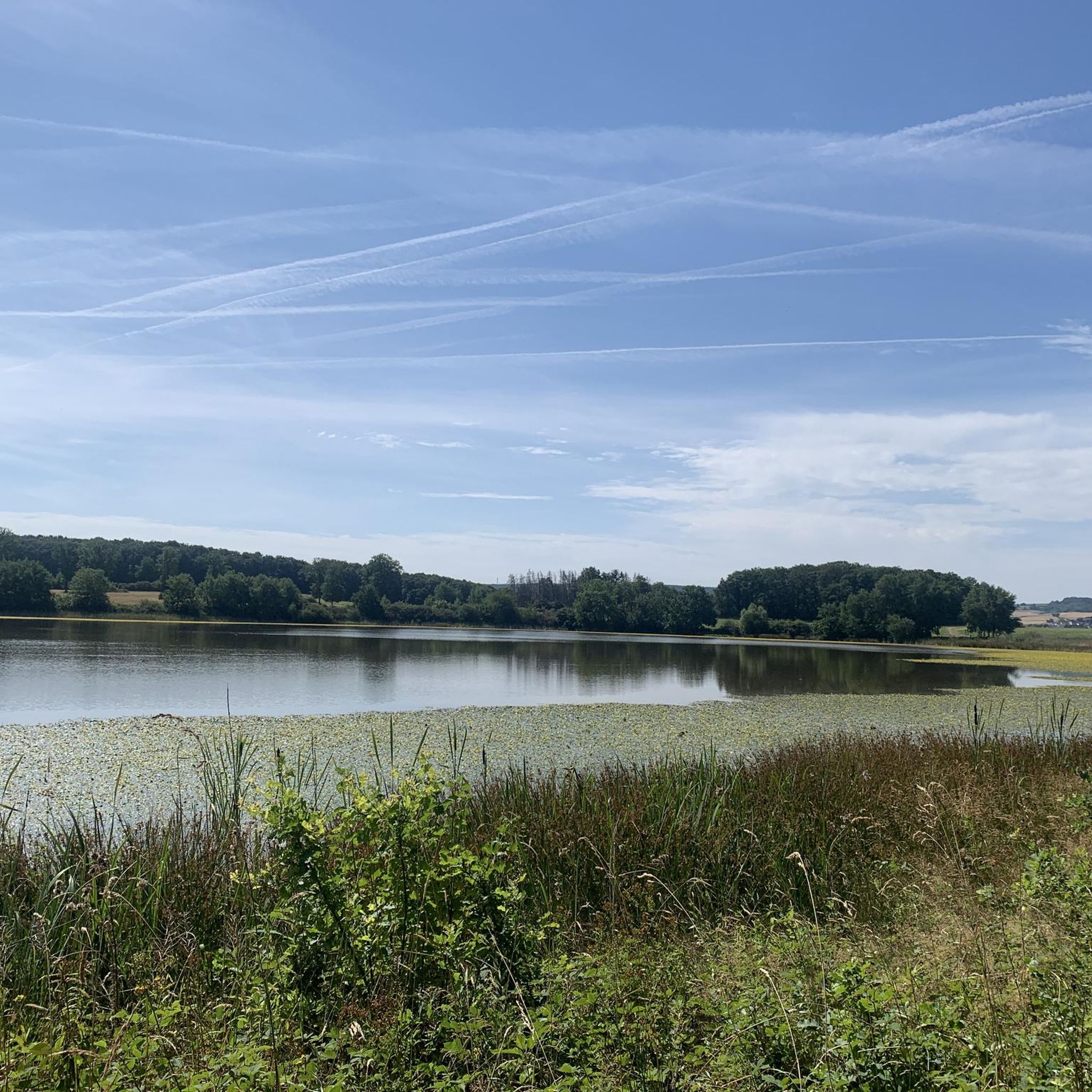
Yes, the View of Krufter Waldsee from Teufelskanzel is a rocky outcrop that provides a fabulous view over Kruft and the surrounding area, including a very idyllic small forest lake. You can also get views of the Laacher See from the View of Ettringen and Lake Laach from Hochstein.
What outdoor activities can I do near these viewpoints and hills?
The region offers diverse opportunities for outdoor activities. You can find numerous routes for gravel biking, cycling, and running. For example, there are gravel biking routes like the 'Lake Laach – Lake Laach loop from Wassenach' and cycling routes such as the 'Rodder Maar – View of Olbrück Castle loop from Brohltal'. Running trails include the 'Auf Mötschert – Rodder Maar loop from Oberdürenbach'. You can explore more options on the Gravel biking around Niederdürenbach, Cycling around Niederdürenbach, and Running Trails around Niederdürenbach guide pages.
Is the Hohe Acht, the highest peak in the Eifel, accessible from Niederdürenbach?
While the Hohe Acht (746.9 meters) is the highest point in the broader Eifel mountains, it is not directly within Niederdürenbach. It is located further afield in the Eifel region. You can find more information about the Hohe Acht on Wikipedia.
Are there any historical castles or ruins to see in the area?
Yes, the ruins of Olbrück Castle, built around 1050, are a significant historical landmark in the Brohltal region. While not a natural peak, it stands prominently and can be viewed from various hiking routes, including those near the Rodder Maar.
What do visitors enjoy most about the viewpoints around Niederdürenbach?
Visitors particularly appreciate the panoramic views, especially from spots like the Weiselstein Observation Tower, which offers a gigantic 360-degree vista. The combination of historical sites like Landskron Castle with stunning natural scenery also makes for a rewarding experience.
What is the best time of year to visit Niederdürenbach for hiking and exploring?
The region is beautiful throughout the year. Spring offers blooming landscapes, especially during rapeseed blossom in late April/early May, which is particularly stunning from viewpoints like Teufelskanzel. Summer is ideal for longer hikes, while autumn brings vibrant fall colors to the forests and vineyards. Even winter can offer unique, tranquil experiences, though some facilities might have reduced hours.
Are there family-friendly hiking options around Niederdürenbach?
Yes, many of the trails around Niederdürenbach are suitable for families, offering diverse landscapes of forests, Eifel lakes, and scenic views without extreme difficulty. The loop trail around Rodder Maar, for instance, is a pleasant and accessible option for all ages.
Most popular routes around Niederdürenbach
Most popular attractions around Niederdürenbach

Get inspired with the komoot mobile app


Explore more
See even more amazing summits around Niederdürenbach with these guides:
