The best road cycling routes around Hardert
4.5
(358)
4,100
riders
86
rides
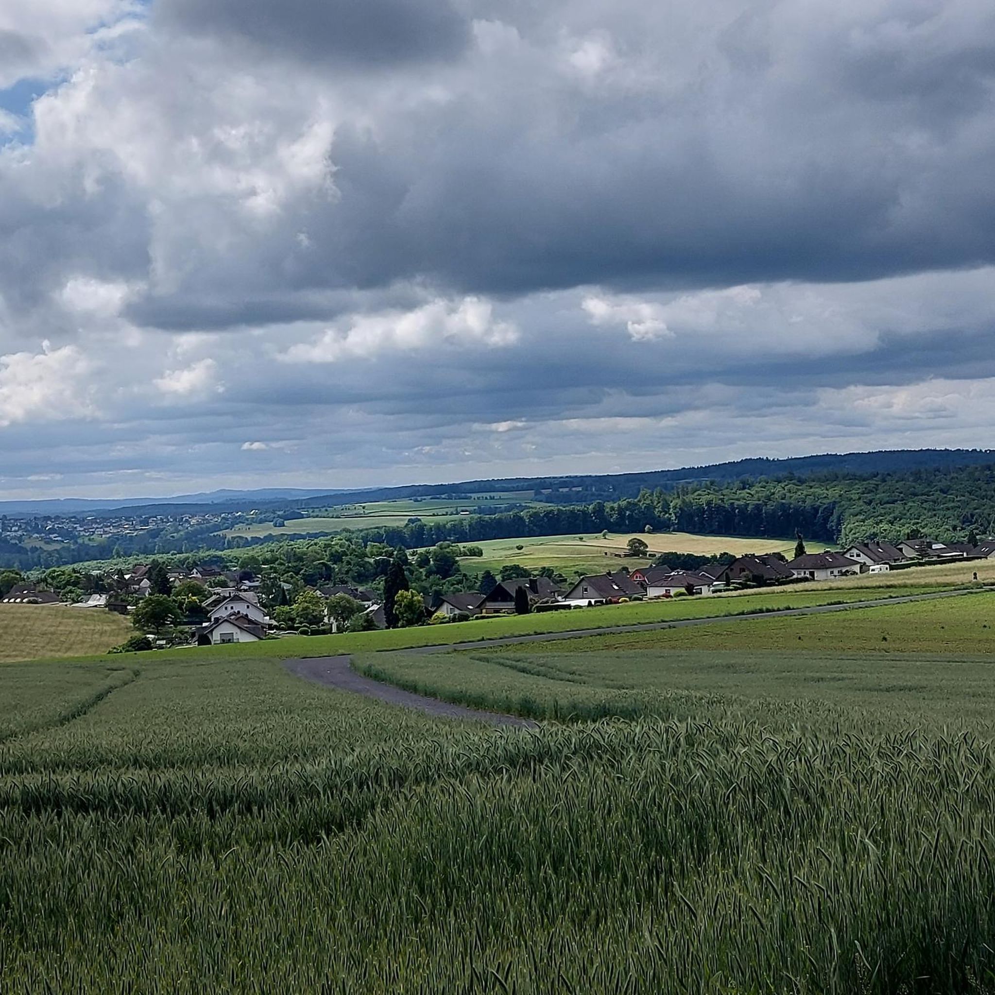
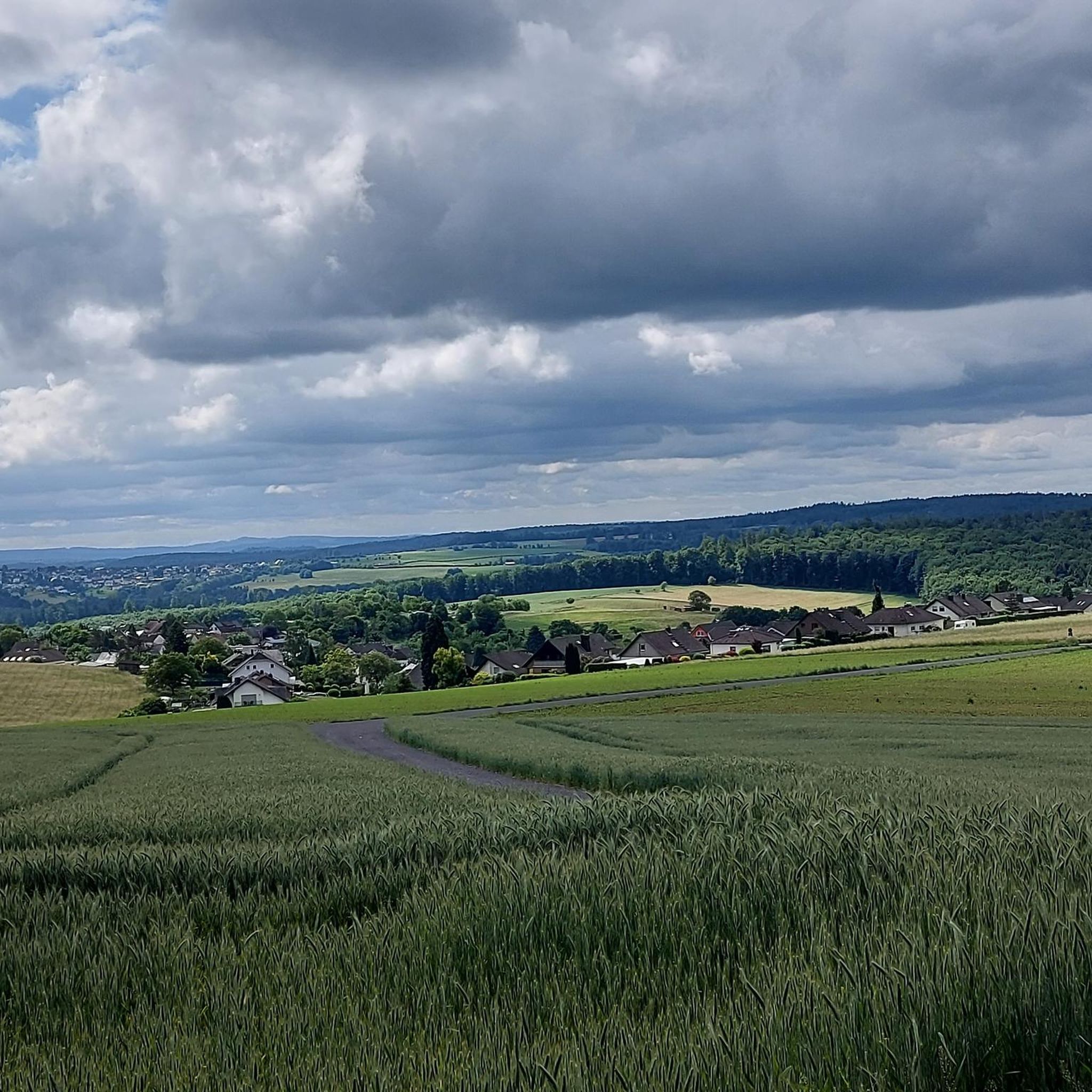
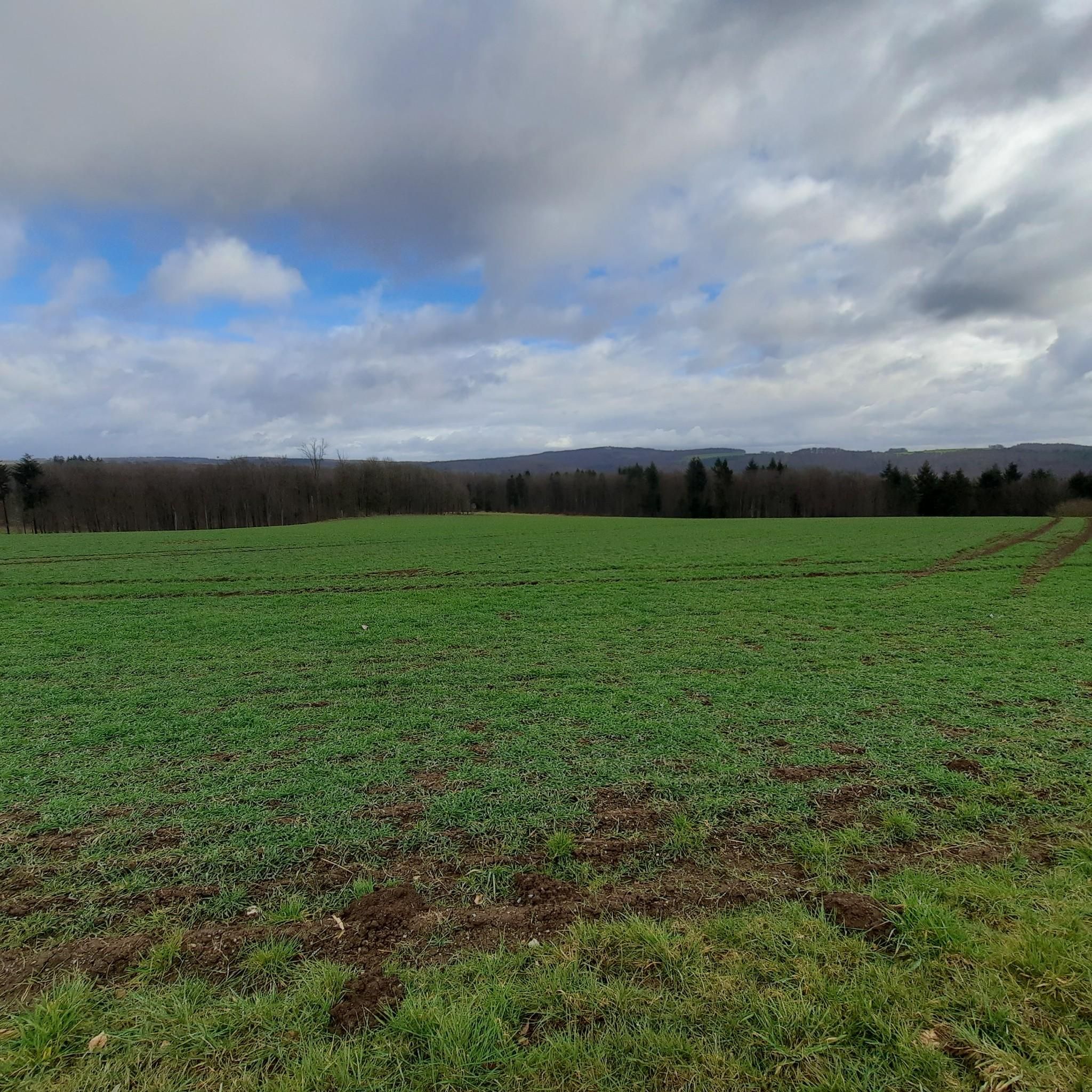
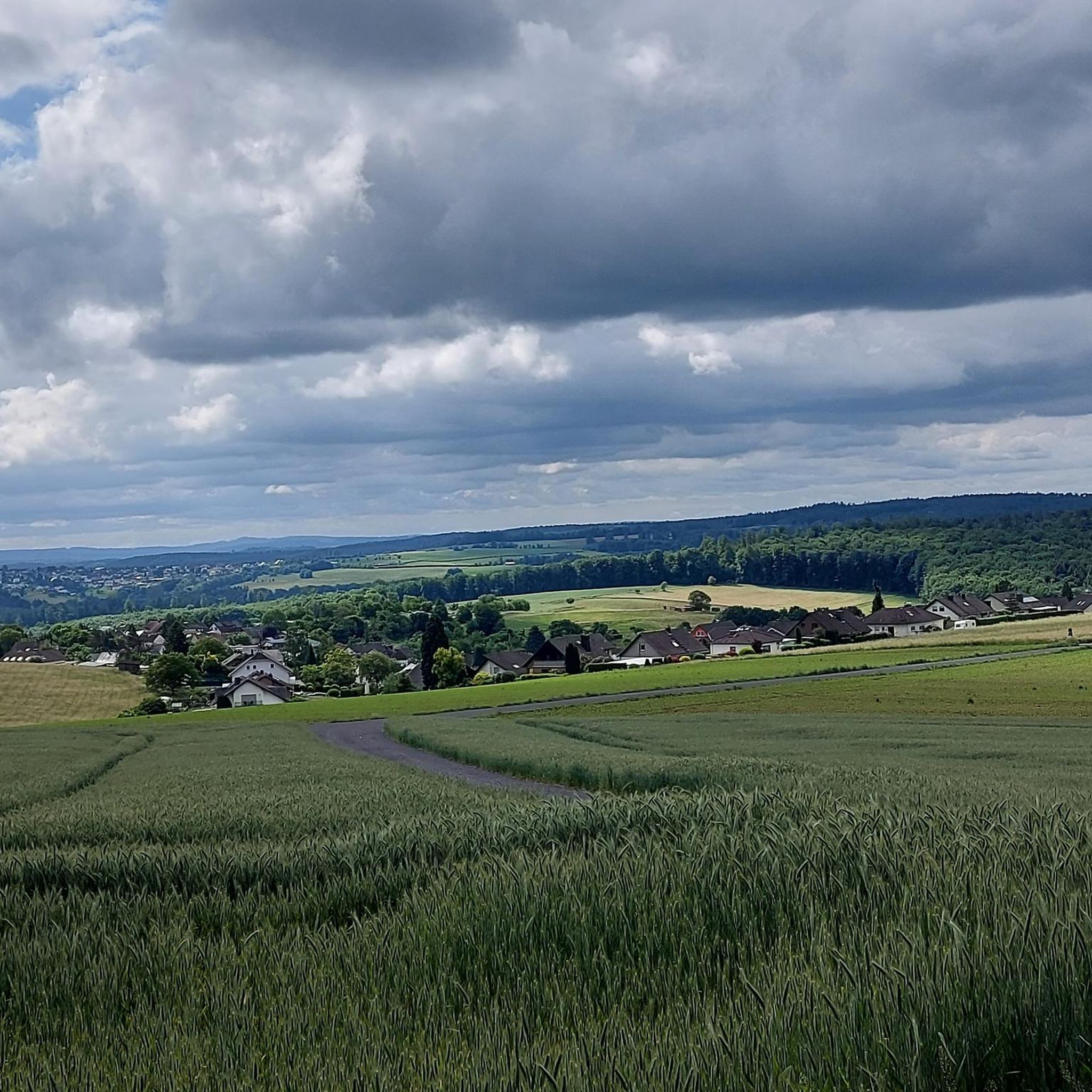
Road cycling routes around Hardert are set within the Rhine-Westerwald Nature Park, characterized by rolling hills, expansive forests, and scenic meadows. The region offers diverse terrain, including paved surfaces and significant elevation changes, catering to various cycling preferences. Proximity to the Rhine River provides routes along its banks, while the low mountain ranges of the Westerwald present more challenging ascents. Cyclists can explore idyllic brook valleys and discover natural features like impressive sequoia trees.
Best road cycling routes around Hardert
…Last updated: July 19, 2026
4.7
(9)
60
riders
77.4km
03:39
1,000m
1,000m
Hard road ride. Very good fitness required. Mostly well-paved surfaces and easy to ride.
4.3
(4)
55
riders
66.2km
03:02
730m
730m
Moderate road ride. Good fitness required. Some segments of this route may be unpaved and difficult to ride.

Sign up for free
4.8
(5)
30
riders
53.8km
02:22
530m
530m
Moderate road ride. Good fitness required. Mostly well-paved surfaces and easy to ride.
2.0
(1)
19
riders
34.8km
01:44
520m
520m
Moderate road ride. Good fitness required. Mostly well-paved surfaces and easy to ride.
9
riders
52.6km
02:18
470m
470m
Moderate road ride. Good fitness required. Mostly well-paved surfaces and easy to ride.
Get access to more routes and recommendations from other explorers.
Sign up for free
Already have an account?
Our route recommendations are based on thousands of hikes, rides, and runs completed by other people on komoot.
Start today with a free account
Your next adventure awaits.
Login or Signup
Tips from the Community

Very idyllic for letting your soul dangle.
0
0

Anticipation of visiting the castle ruins
0
0

There used to be infrastructure there; it would be nice if it were still there.
0
0

A magnificent church building. The interior was also accessible for a short prayer service.
0
0
A beautiful historical ensemble. You can still easily imagine life in prehistoric times here.
0
0

"On Palm Sunday, March 25, 1945, the town was bombed and half destroyed during the Allied advance. The town suffered 71 casualties at that time. More than 50 houses were completely destroyed, and many of the remaining houses suffered significant damage. One day later, on March 26, 1945, Dierdorf was occupied by US Army troops after brief skirmishes with the retreating remnants of the Wehrmacht. According to American sources, 67 Martin B-26 "Marauder" bombers flew the air raid on Dierdorf. They dropped a total of 272 bombs over the target area in eight waves. Each bomb weighed 450 kg." https://de.wikipedia.org/wiki/Dierdorf
0
0
<< Owl Tower >> "Remains of the listed city fortifications, built after 1357, are still preserved on the Holzbach dam. The "Untertorturm," later renamed the "Owl Tower," is an approximately 27-meter-high round tower, a typical medieval defense tower. It also served as a dungeon. Today, a fire brigade museum is located there. With remnants of the city wall, it testifies to the medieval importance of the settlement, which was granted city rights by Charles IV in 1357." https://www.tourenplaner-rheinland-pfalz.de/de/punkt/historische-staette/eulenturm/56629324/
0
0

Small parking lot for 2-3 cars and a rest area.
1
0
Frequently Asked Questions
How many road cycling routes are available around Hardert?
Hardert offers a wide selection of road cycling routes, with over 80 different tours available. These routes cater to various skill levels, from easy rides to more challenging ascents through the region's rolling hills.
What kind of terrain can I expect on road cycling routes in Hardert?
The region around Hardert, nestled within the Rhine-Westerwald Nature Park, features diverse terrain. You'll find mostly paved surfaces suitable for road cycling, but also significant elevation changes due to the rolling hills and low mountain ranges of the Westerwald. Some routes may include short unpaved segments. The proximity to the Rhine River also allows for routes along its banks, offering flatter sections.
Are there routes suitable for beginners or less experienced road cyclists?
Yes, Hardert offers several easier road cycling routes. While the area is known for its rolling hills, you can find paths that traverse idyllic brook valleys with less strenuous climbs. Look for routes with moderate difficulty ratings if you prefer a more relaxed ride.
What are some challenging road cycling routes for experienced riders?
For experienced road cyclists seeking a challenge, routes with significant elevation gain are available. An example is the Wiedbahn Tunnel and Bridge – Burg Ehrenstein Ruins loop from Rengsdorf, which covers 48.8 miles (78.5 km) and features over 1000 meters of elevation gain, making it a demanding option.
Can I find family-friendly road cycling options in Hardert?
While many routes involve rolling hills, families can find suitable options by choosing routes that stick to flatter sections, such as those along the Rhine River or through wider valleys. It's advisable to check the elevation profile of a route before setting out with children to ensure it matches their ability.
What are the best times of year for road cycling in Hardert?
The best times for road cycling in Hardert are generally spring, summer, and early autumn. During these seasons, the weather is typically mild, and the landscapes are vibrant. Summer offers longer daylight hours, while spring and autumn provide pleasant temperatures and beautiful scenery with blooming flowers or colorful foliage. Winter conditions can be challenging due to colder temperatures and potential ice or snow.
Are there any notable attractions or viewpoints along the road cycling routes?
Absolutely. Road cycling routes around Hardert often pass by or offer views of significant attractions. You might encounter historic churches, picturesque vineyards, or even catch a glimpse of the magnificent Sayn Castle. The region also boasts natural features like impressive sequoia trees and lively streams. For panoramic views, consider routes that pass by viewpoints like Viewpoint Almblick.
Where can I park my car when going road cycling in Hardert?
Parking options are available in and around Hardert, particularly near popular starting points for routes. Many routes, like the Eulenturm (Lower Tower) Dierdorf – Seifen Train Station loop from Hardert, often start from accessible locations where parking can be found. It's recommended to check specific route details for suggested parking areas.
Are there circular road cycling routes available?
Yes, many road cycling routes in Hardert are designed as circular loops, allowing you to start and end at the same point. This is convenient for those traveling by car. Examples include the Sayntal – Isenburg Castle Ruins loop from Oberhonnefeld, which offers a scenic circular journey.
What do other road cyclists say about the routes in Hardert?
The road cycling routes in Hardert are highly regarded by the komoot community, with an average rating of 4.7 stars from over 300 reviews. Cyclists often praise the varied terrain, the beautiful natural landscapes including forests and meadows, and the well-maintained paved roads. The mix of challenging climbs and scenic valley rides is frequently highlighted.
What natural features can I discover while road cycling in Hardert?
While road cycling, you can explore the diverse natural features of the Rhine-Westerwald Nature Park. This includes expansive forests, rolling hills, and scenic meadows. Keep an eye out for idyllic brook valleys and impressive sequoia trees. The region's proximity to the Rhine River also means you can enjoy views of the river landscape on certain routes.
Are there any historical sites accessible by road bike?
Yes, the Hardert region is rich in history. Beyond the natural beauty, you can cycle past historic churches like St. Mary Magdalene or St. Peter's Church. The area is also near the German Limes Cycle Route, offering a chance to explore remnants of Roman frontier fortifications. Routes like the Eulenturm (Lower Tower) Dierdorf – Reichenstein Castle Ruins loop from Rüscheid can lead you past historical points of interest.
Most popular attractions around Hardert

Get inspired with the komoot mobile app


Explore more
Browse the best Road cycling routes in other regions.
