The 16 Most Amazing Peaks around Harscheid
Best mountain peaks around Harscheid are found within the scenic, hilly landscapes of Rhineland-Palatinate, a region situated at an elevation of 419 meters. This area is recognized for its extensive hiking opportunities and varied terrain. While not featuring towering peaks, the region offers numerous elevated areas and trails that provide rewarding experiences for hikers. Visitors can explore well-maintained routes that cater to various fitness levels, offering panoramic views from elevated points.
Best mountain peaks around Harscheid
- The most popular mountain…
Last updated: July 1, 2026
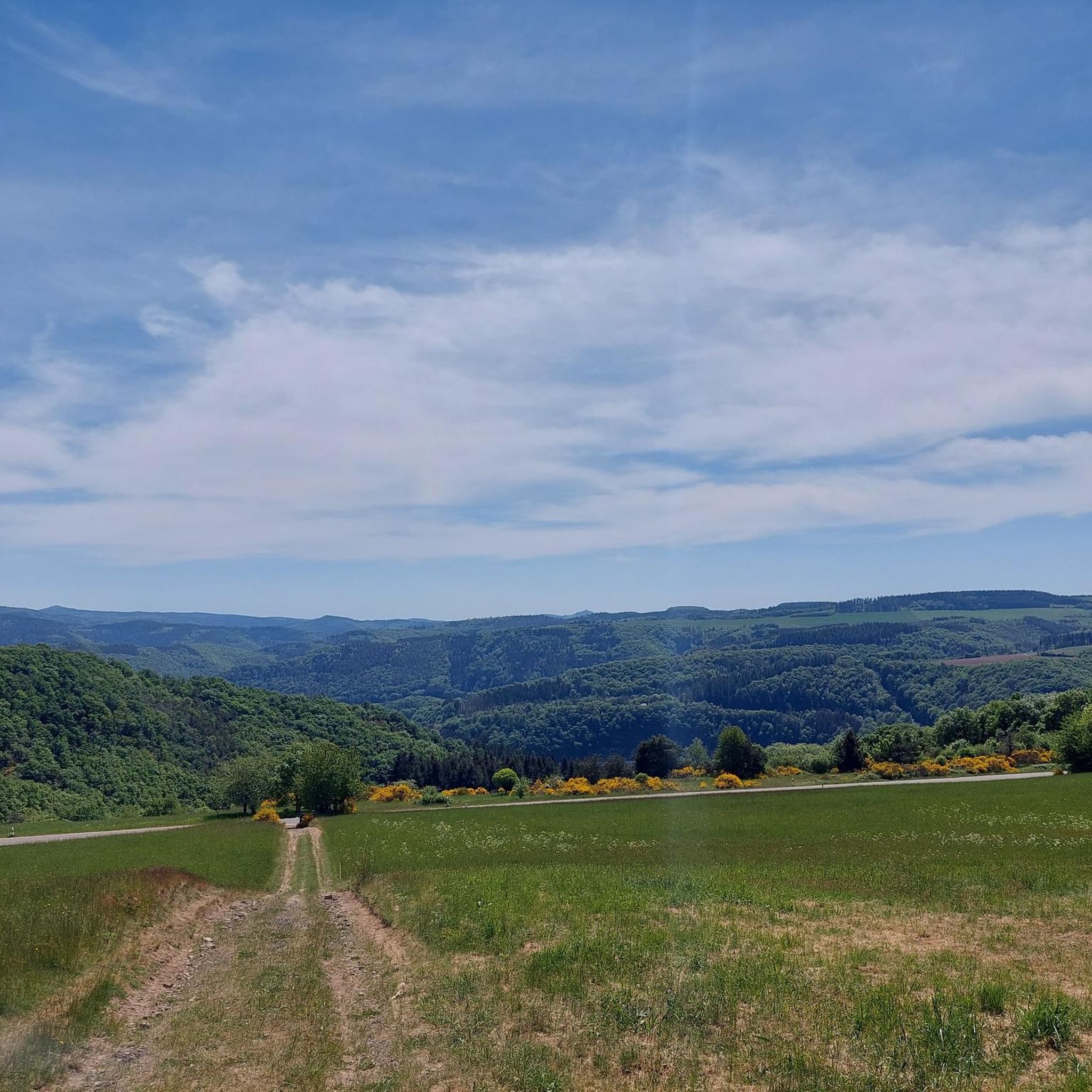
View from Schrock
Highlight • Viewpoint
Translated by Google •
Tip by

Teufelsley summit
Highlight • Summit
Translated by Google •
Tip by
Sign up now to discover places like this
Get recommendations on the best single tracks, peaks, & plenty of other exciting outdoor places.
Sign up for free
St Michael's Chapel on the Michelsberg
Highlight • Religious Site
Translated by Google •
Tip by

Steinerberg Viewpoint
Highlight • Viewpoint
Translated by Google •
Tip by

Engelsley Summit Cross
Highlight • Summit
Translated by Google •
Tip by

Sign up for free to discover even more peaks around Harscheid.
Sign up for free
Already have an account?
Start today with a free account
Your next adventure awaits.
Login or Signup
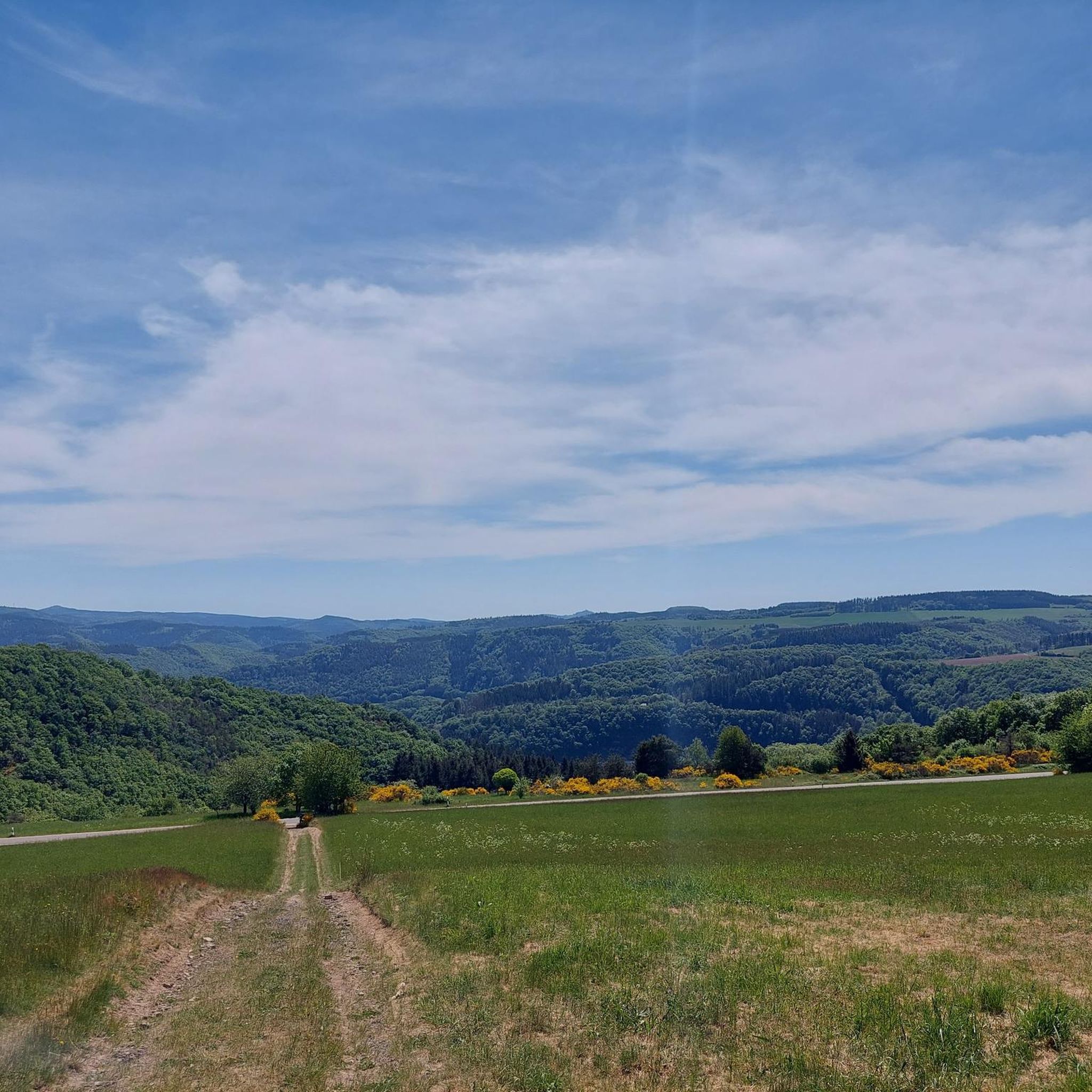
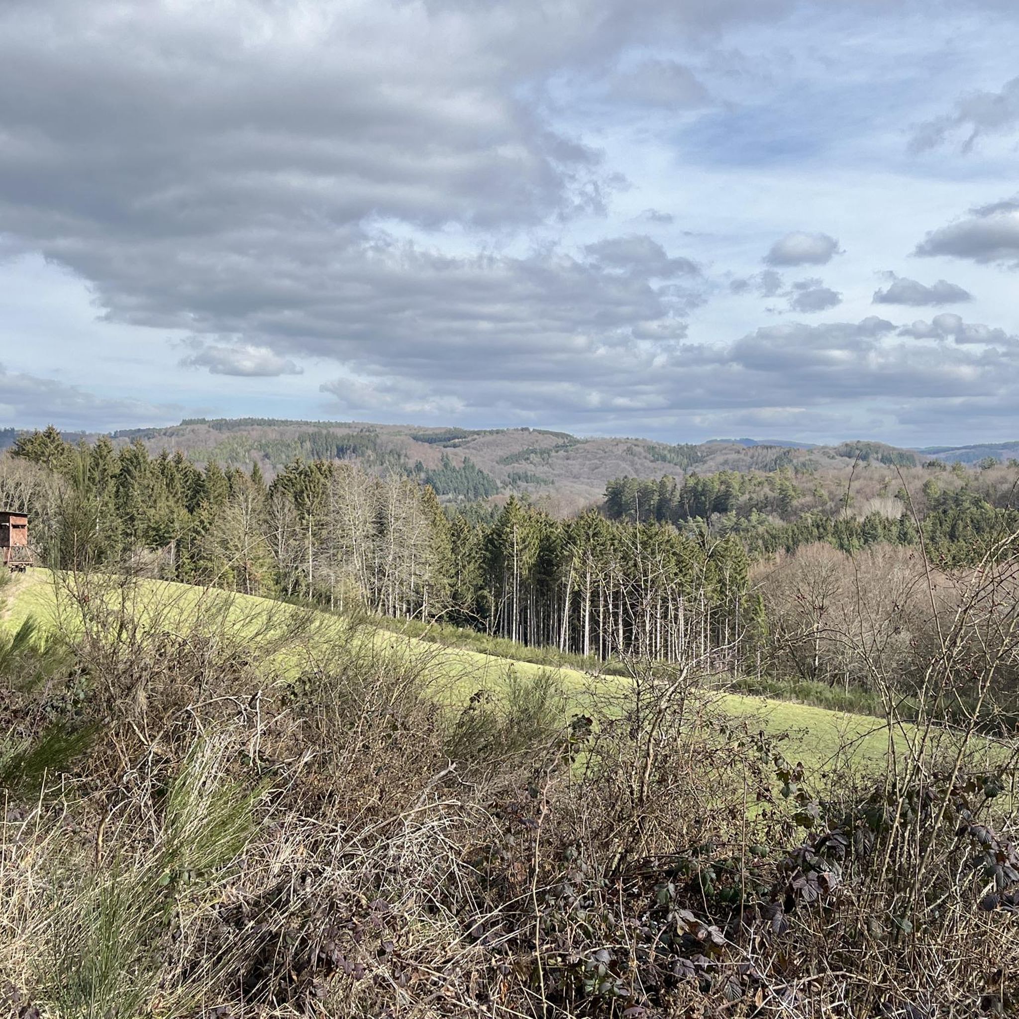
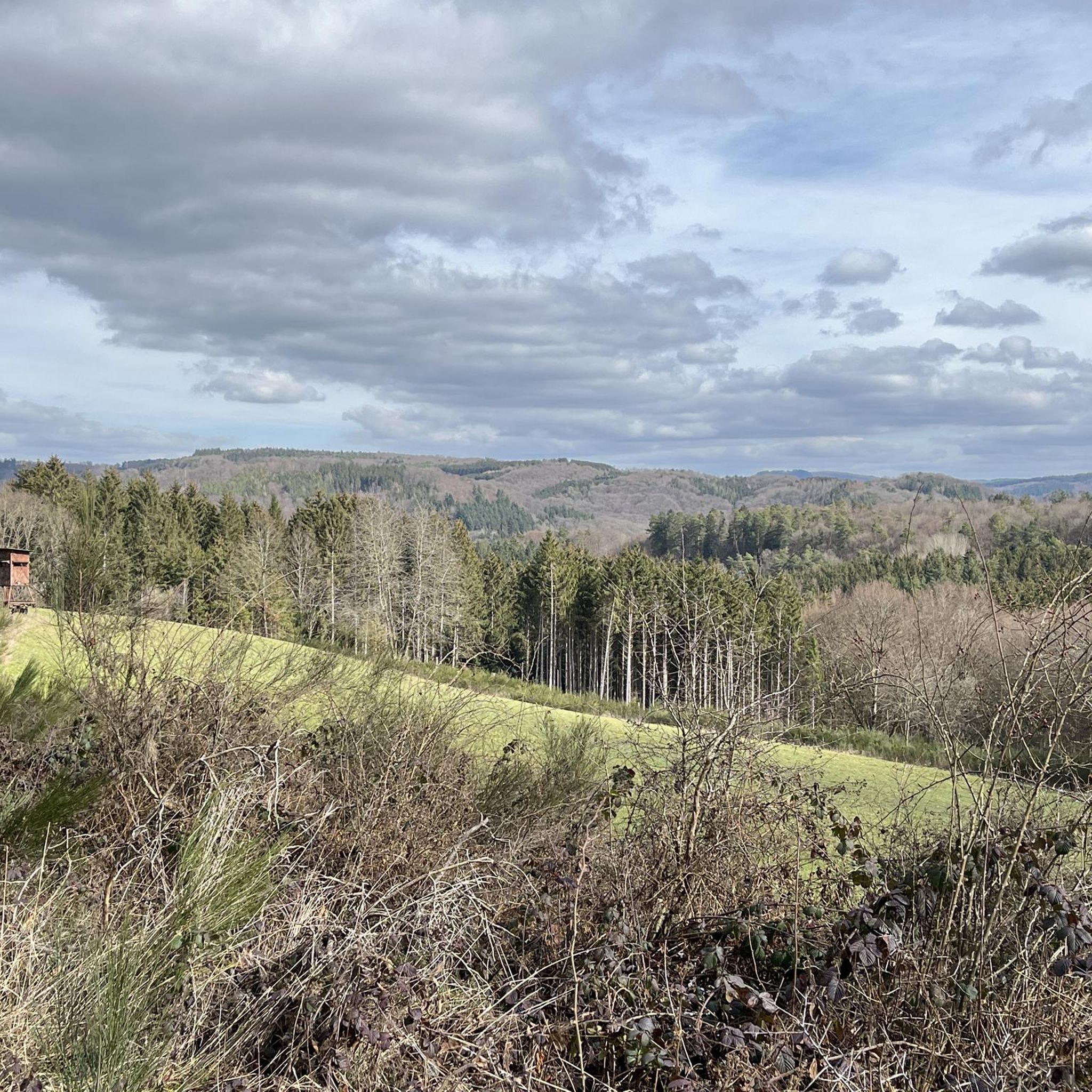
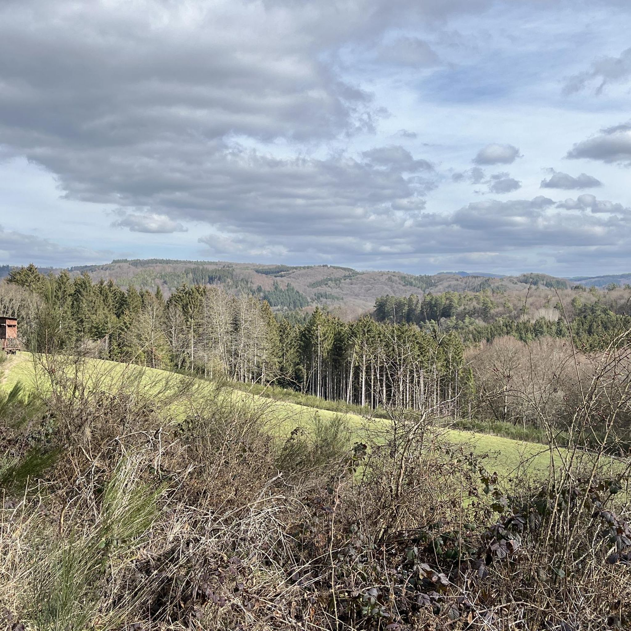
Tips from the Community

It is assumed that the first chapel was built on the Michelsberg as early as the beginning of the 14th century. A missal dated 1456 was written for the "Michaelskapelle auf dem Mahlberg", although this place name refers to the earlier name of the Michelsberg. Of the chapel, which was finally built around 1500, only the late Gothic choir with its net vault remains today. The transverse rectangular nave with a three-storey west tower in front of it was built in the late 17th century and renovated between 1857 and 1860 after large parts of it had burned down in a lightning strike in 1836. The tower roof was added in 1869. As part of its renovation in 1934 and 1935, an observation platform was also created in the tower. The chapel was systematically repaired between 1953 and 1961. The roofs were re-covered, the exterior and interior plastering was renewed and the stucco ceiling of the nave was repaired. The open staircase on the south side, which leads to the portal of the church, was also rebuilt as part of the renovation. Source: Wikipedia
6
0
From the Steinerberg you have a beautiful panoramic view over the heights of the Ahrgebirge. I also definitely recommend a stop at the cozy Steinerberghaus. The opening hours and further information can be found here: https://www.steinerberghaus.de/
6
0

Really alpine trail with easier climbing sections, not always very stable rock and sometimes finding the way requires a bit of intuition.
4
0

Beautiful place on the meadow to rest with a beautiful view 👍 In 1911 the Steinerberghaus began as a simple refuge for the Eifel Association. Ten years later it was already an excursion restaurant with overnight accommodation. To mark the 100th birthday of the Steinerberghaus, a sundial by the Bonn sculptor Anton Schmitz was inaugurated. The special thing about this clock: it is tilted parallel to the earth's axis and directed north in the shape of a globe. It therefore represents the exact image of our planet and is illuminated by the sun at the same angle as it. A map of the Earth was also carved into the surface of this massive basalt ball. That's why you can not only read the time here, but also where in the world the sun is setting or rising. Source: 111 places in the Eifel that you have to see
6
0

The chapel, built around 1500, is the end of a pilgrimage route.
8
1

A great hiking area on and around the michelsberg. The views are enormous
10
2

Follow the Way of the Cross, which takes you in a spiral around the Michelsberg uphill to St. Michael. The plateau offers very nice views of the Eifel and invites you to linger - maybe with a picnic.
8
1

At 588 meters above sea level, the Michelsberg is the highest point in the area of the city of Bad Münstereifel. The view extends far to the southeast as far as the Vulkaneifel with the Hoher Acht, Nürburg, Hochkelberg and Aremberg. To the west you look over the arable hills of the Kalkeifel to the moors of the High Fens and the forests of the Eifel National Park. The Michelsberg was already used by the Romans as a strategically located vantage point. Later it served the Franks as a pagan place of worship and court. With the construction of a chapel around 1500, the mountain received its importance as a place of pilgrimage for the veneration of Michael and its current name. (Source: Eifel.info)
11
0
Frequently Asked Questions
What kind of elevated areas or 'mountain peaks' can I expect to find around Harscheid?
Harscheid is known for its scenic hilly landscapes and extensive hiking opportunities rather than towering mountain peaks in the traditional sense. You'll discover numerous elevated areas, viewpoints, and challenging trails that offer rewarding experiences and panoramic views over the Rhineland-Palatinate region.
Which elevated points offer the best panoramic views near Harscheid?
For breathtaking vistas, consider visiting the Teufelsley summit, which provides a fantastic panoramic view over the Ahr valley and the Siebengebirge. Another excellent spot is the View from Schrock, offering similar views but with a steeper, less crowded ascent. The View of Saffenburg and the Ahr Valley also provides beautiful scenery of the forests, village, river, and ruins.
Are there any challenging climbs or trails to reach these elevated points?
Yes, some elevated points require good fitness and sure-footedness. For instance, the final meters to the Teufelsley summit have an almost alpine character, requiring sturdy footwear and clear hands. Reaching the Engelsley Summit Cross involves navigating a ridge with slate rocks, demanding sure-footedness and suitable footwear. The ascent to the View from Schrock is also quite steep.
What historical or cultural sites can be found on elevated areas near Harscheid?
The St Michael's Chapel on the Michelsberg is a notable historical site. Located on the highest elevation in the Bad Münstereifel city area at 588 meters, this chapel has a rich history, with its tower used as a measurement point in the past. The Michelsberg itself was once a strategically located vantage point for Romans and a pagan place of worship for Franks.
What outdoor activities can I do near the elevated areas around Harscheid?
The region around Harscheid is excellent for various outdoor activities. You can find numerous routes for hiking, mountain biking, and touring cycling. For hiking, explore trails like the 'Mountain trail over the Spicherley – Ruppenberg Trail loop from Schuld'. Mountain bikers can enjoy routes such as the 'Auwälder Forest Trail – Ahr Cycle Path (Ahr-Radweg) loop from Schuld'. Cyclists have options like the 'View of Kreuzberg Castle – View of the Ahr River loop from Schuld'. You can find more details on these activities in the Hiking around Harscheid, MTB Trails around Harscheid, and Cycling around Harscheid guides.
Are there family-friendly walking routes or easy trails near Harscheid's elevated points?
While some trails to elevated points are challenging, the broader Harscheid region offers routes suitable for various fitness levels. For easier walks, look for trails described as 'easy' in the Hiking around Harscheid guide, such as the 'Bench with a view of Nürburg – Meadow Trails on the Ahrsteig loop from Sierscheid'.
What is the best time of year to visit the elevated areas around Harscheid?
The region's scenic hilly landscapes and hiking trails are enjoyable across multiple seasons. Spring and autumn offer pleasant temperatures and beautiful foliage, making them ideal for hiking. Summer is also suitable, though some steeper ascents might be more strenuous. Always check local weather forecasts before heading out.
What do visitors enjoy most about the elevated areas and trails near Harscheid?
Visitors frequently praise the fantastic panoramic views, especially over the Ahr valley and the Siebengebirge, from spots like the Teufelsley summit. The challenging nature of some trails, like the ridge walk to Engelsley Summit Cross, is also appreciated by those seeking a more adventurous experience. The serene natural environment and the opportunity for immersion in the hilly terrain are consistent highlights.
Are there any specific tips for hiking to the more challenging elevated points?
For challenging routes, such as those leading to Teufelsley summit or Engelsley Summit Cross, it is crucial to wear sturdy footwear and ensure you have good basic fitness and sure-footedness. Some sections may require using your hands for balance or climbing. Hiking poles can also be very helpful on steep ascents and descents, as noted by visitors to the View from Schrock.
Can I find places to eat or stay near the hiking areas in Harscheid?
While specific cafes, pubs, or accommodations directly at every trailhead are not detailed, Harscheid and the surrounding villages in the Rhineland-Palatinate region offer options for refreshments and lodging. It's advisable to check local listings for cafes, pubs, and guesthouses in nearby towns like Schuld or Bad Münstereifel, especially after a long hike.
How accessible are the elevated areas around Harscheid by public transport or car?
Harscheid is a village in Rhineland-Palatinate, and while specific public transport details to every trailhead are not provided, the region is generally accessible. For car users, parking is typically available near trailheads or in the villages. For public transport, it's recommended to research bus connections to Harscheid or nearby towns and then plan your route to the desired elevated points.
Are permits required for hiking or accessing elevated areas near Harscheid?
Generally, permits are not required for hiking on public trails and accessing natural elevated areas in the Harscheid region. However, always respect local regulations, private property, and nature reserve guidelines. If you plan to visit specific attractions or private lands, it's wise to check for any specific access requirements.
Most popular routes around Harscheid
Most popular attractions around Harscheid

Get inspired with the komoot mobile app


Explore more
See even more amazing summits around Harscheid with these guides:
