The best road cycling routes around Blankenheim
4.5
(57)
1,025
riders
93
rides
Road cycling routes around Blankenheim traverse the diverse landscapes of the Eifel region, characterized by rolling heights, wide fields, and lush forests. The area features varied topography with both challenging ascents and gentler gradients, particularly along the Ahr Valley. Cyclists can explore picturesque natural settings that combine scenic beauty with different terrain types. The region's network of routes includes paths along former railway lines, offering smooth surfaces suitable for road cycling.
Best road cycling routes around Blankenheim
- The most popular road cycling route is Schwanenweiher Blankenheim – Col de Ripsdorf loop from Freilingen, a 16.8 miles (27.0 km) trail that takes 1 hour 27 minutes to complete. This moderate route offers a scenic loop through the Eifel landscape.
- Another top favourite among local road cyclists is Ahr bridge at Ahrdorf station – Insul Tunnel loop from Freilingen, a moderate 36.8 miles (59.3 km) path. This route follows the Ahr river, passing through the Insul Tunnel and offering views of the valley.
- Local road cyclists also love the Kerpen Castle – Hillesheim City Wall loop from Freilingen, a 34.3 miles (55.2 km) trail leading through the Eifel region, often completed in about 2 hours 43 minutes.
- Road cycling around Blankenheim is defined by the rolling Eifel heights, the picturesque Ahr Valley, and extensive forests. The network offers options for different ability levels, from moderate to difficult.
- The routes in Blankenheim are highly rated by the komoot community with an average score of 4.5 stars from over 50 reviews. More than 1,000 road cyclists have used komoot to explore Blankenheim's varied terrain.
Last updated: July 15, 2026
4.9
(10)
170
riders
27.5km
01:29
470m
470m
Moderate road ride. Good fitness required. Mostly well-paved surfaces and easy to ride.
4.8
(4)
83
riders
55.7km
02:20
420m
420m
Moderate road ride. Good fitness required. Mostly well-paved surfaces and easy to ride.

Sign up for free
4.8
(6)
52
riders
54.7km
02:41
560m
560m
Moderate road ride. Good fitness required. Some segments of this route may be unpaved and difficult to ride.
5.0
(1)
37
riders
61.3km
02:51
740m
750m
Moderate road ride. Good fitness required. Some segments of this route may be unpaved and difficult to ride.
35
riders
48.0km
02:41
840m
840m
Moderate road ride. Good fitness required. Some segments of this route may be unpaved and difficult to ride.
Get access to more routes and recommendations from other explorers.
Sign up for free
Already have an account?
Our route recommendations are based on thousands of hikes, rides, and runs completed by other people on komoot.
Start today with a free account
Your next adventure awaits.
Login or Signup
Popular around Blankenheim
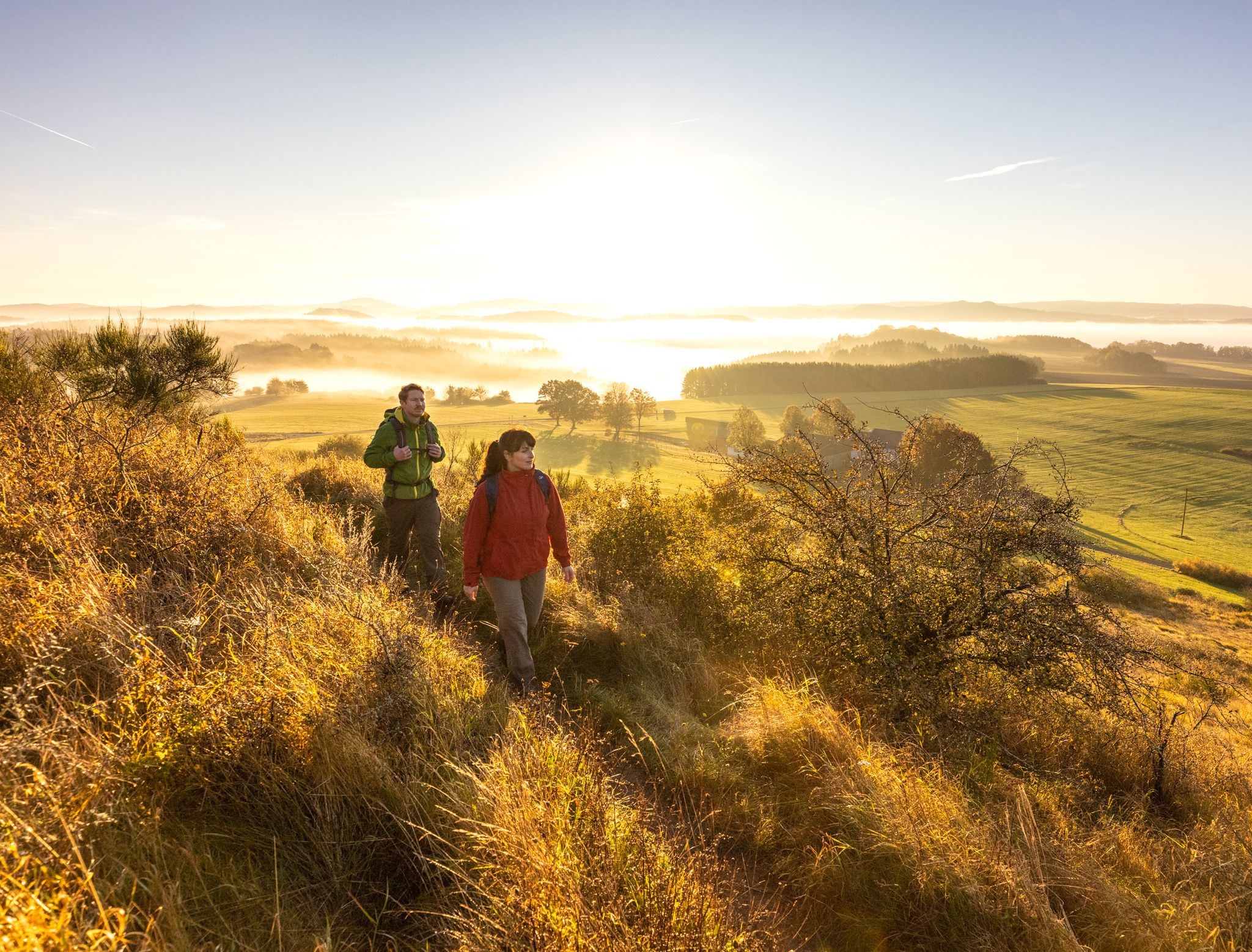
The 15 stages of the Eifelsteig Trail — Between rocks and water
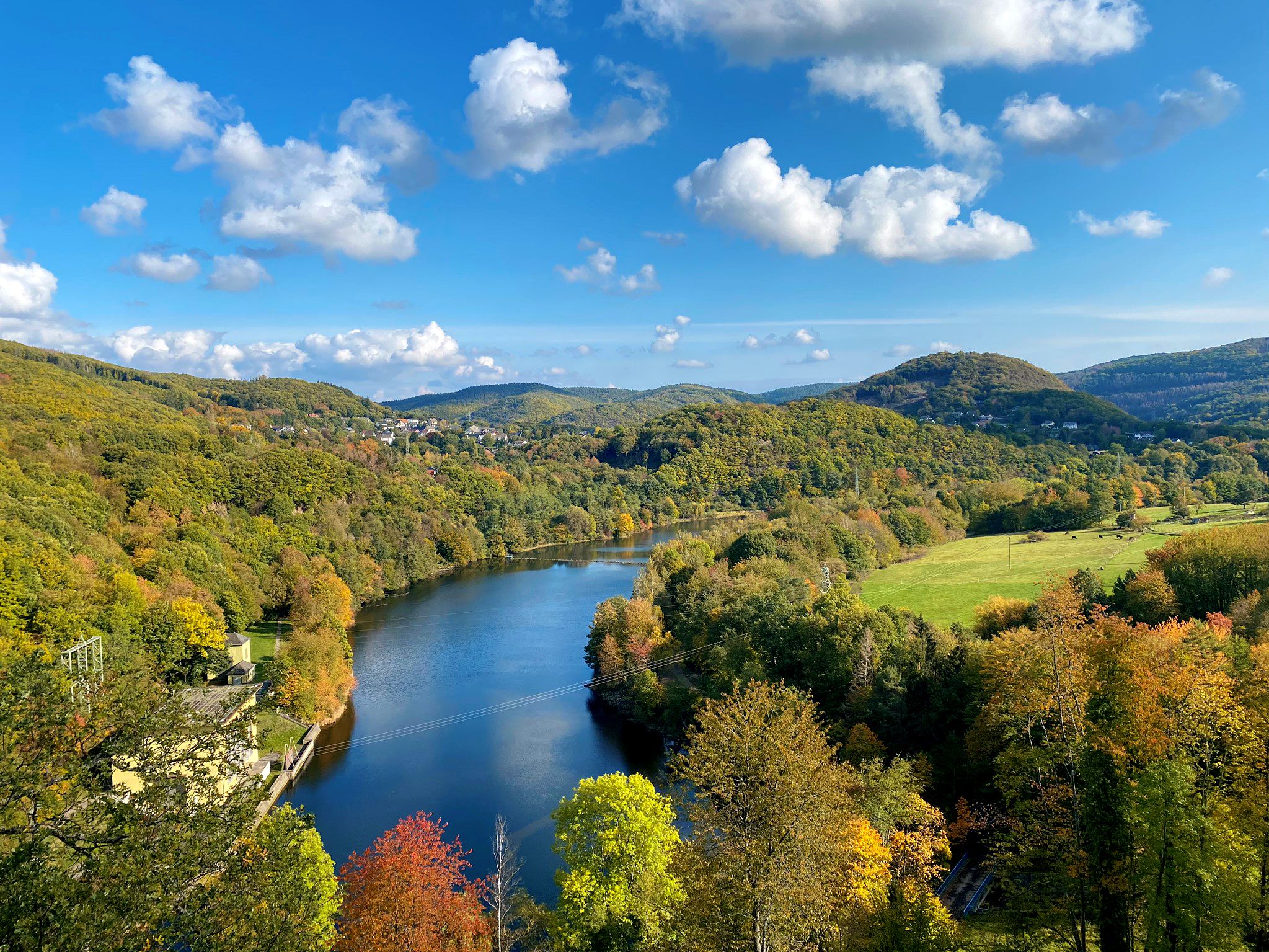
Idyllic valleys and picturesque waterways – Eifel Peak Route Cycle Path
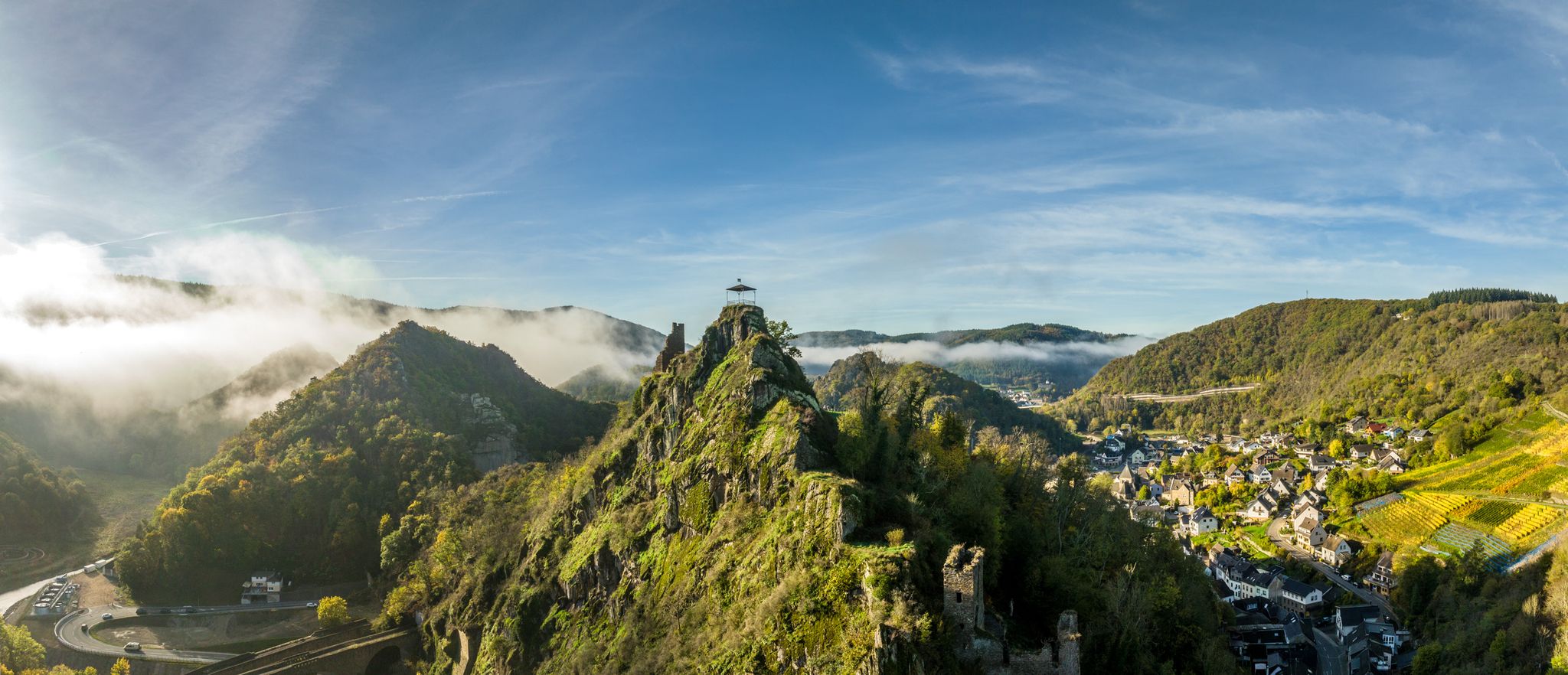
Zwischen Weinbergen und schroffen Felsen – Wandern im Ahrtal
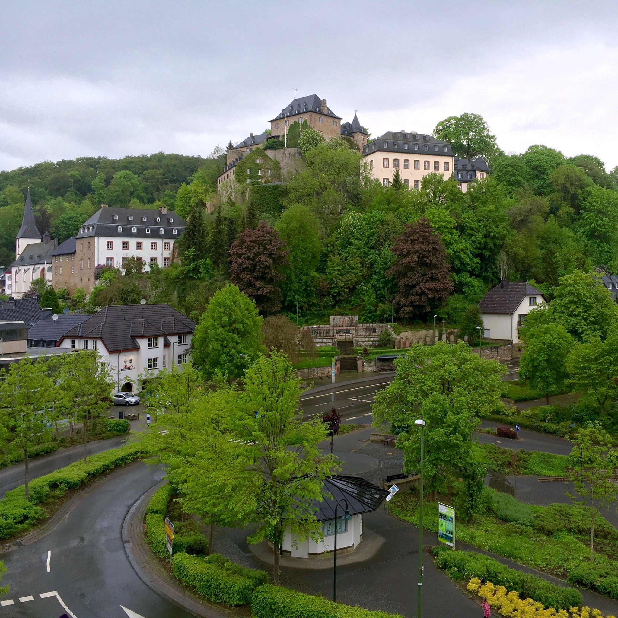
Hiking around Blankenheim
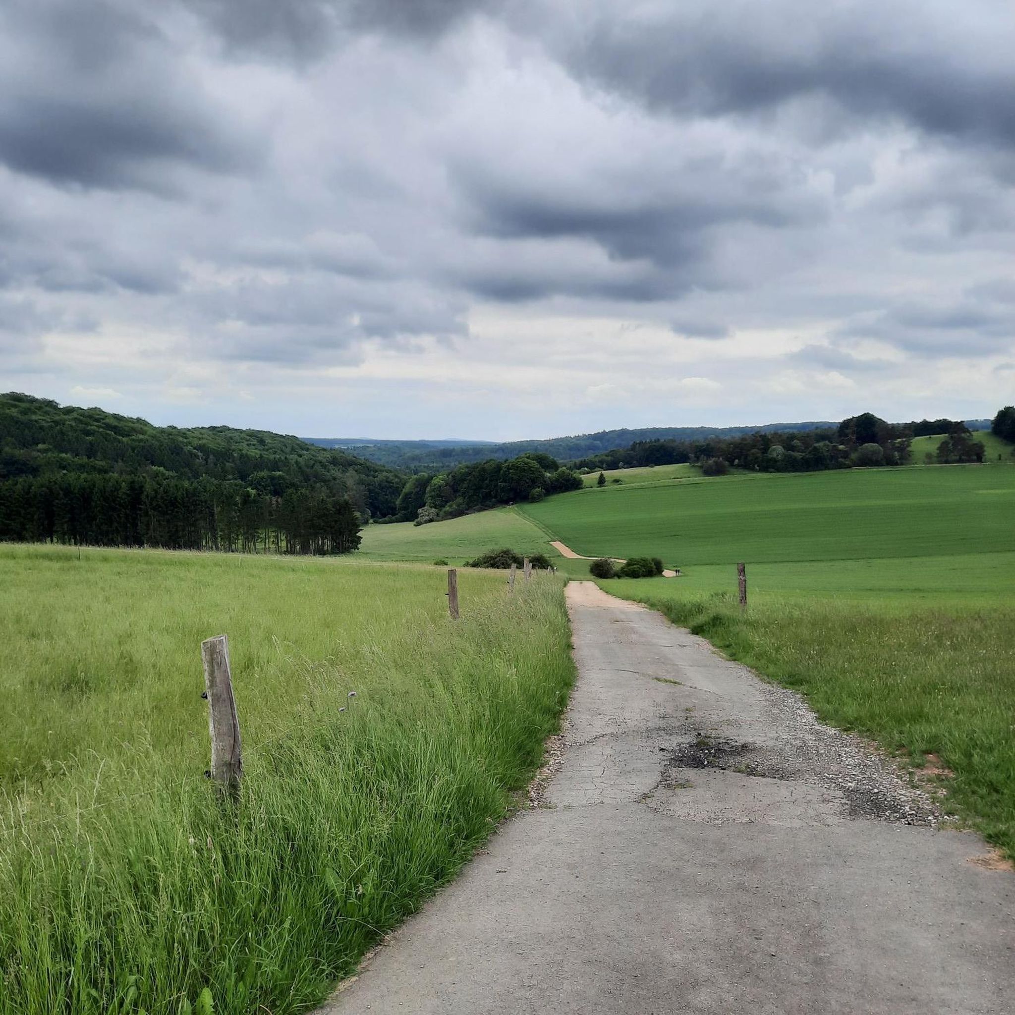
Cycling around Blankenheim
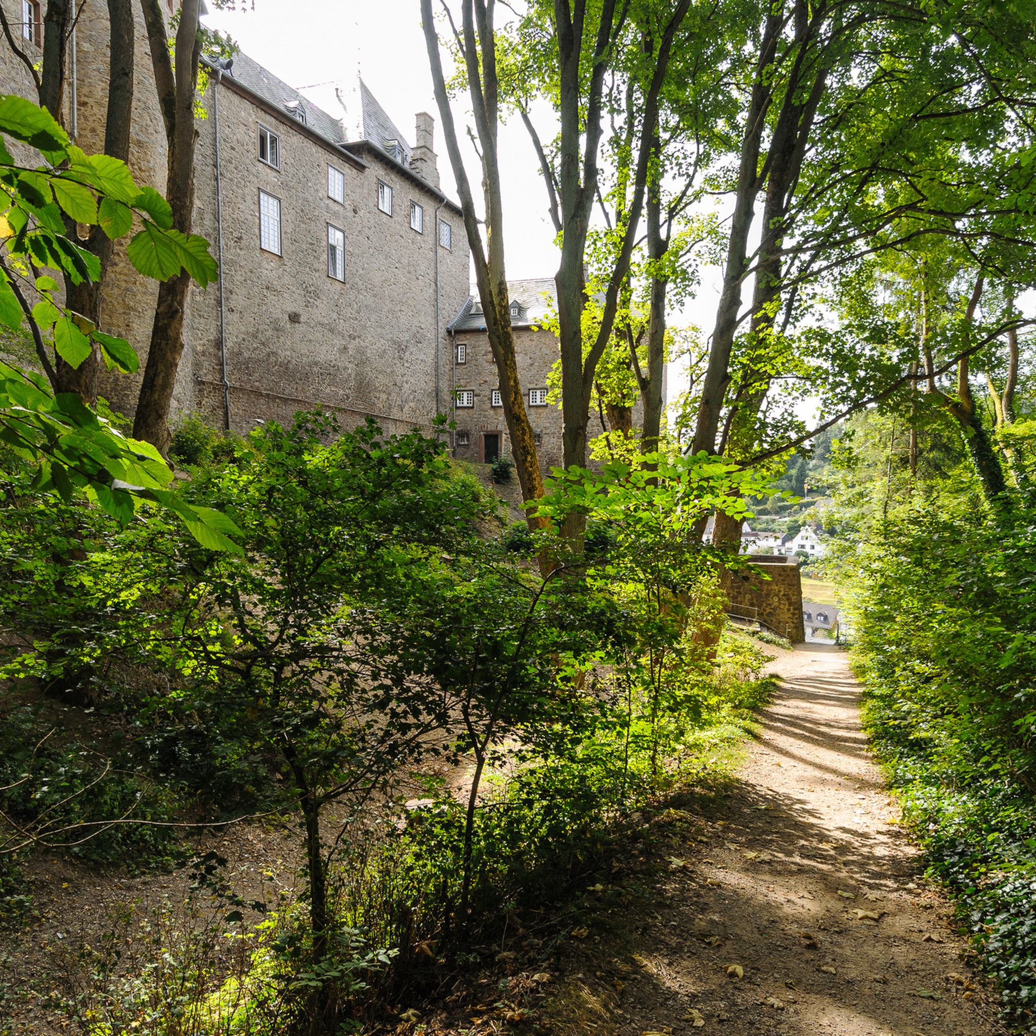
MTB Trails around Blankenheim
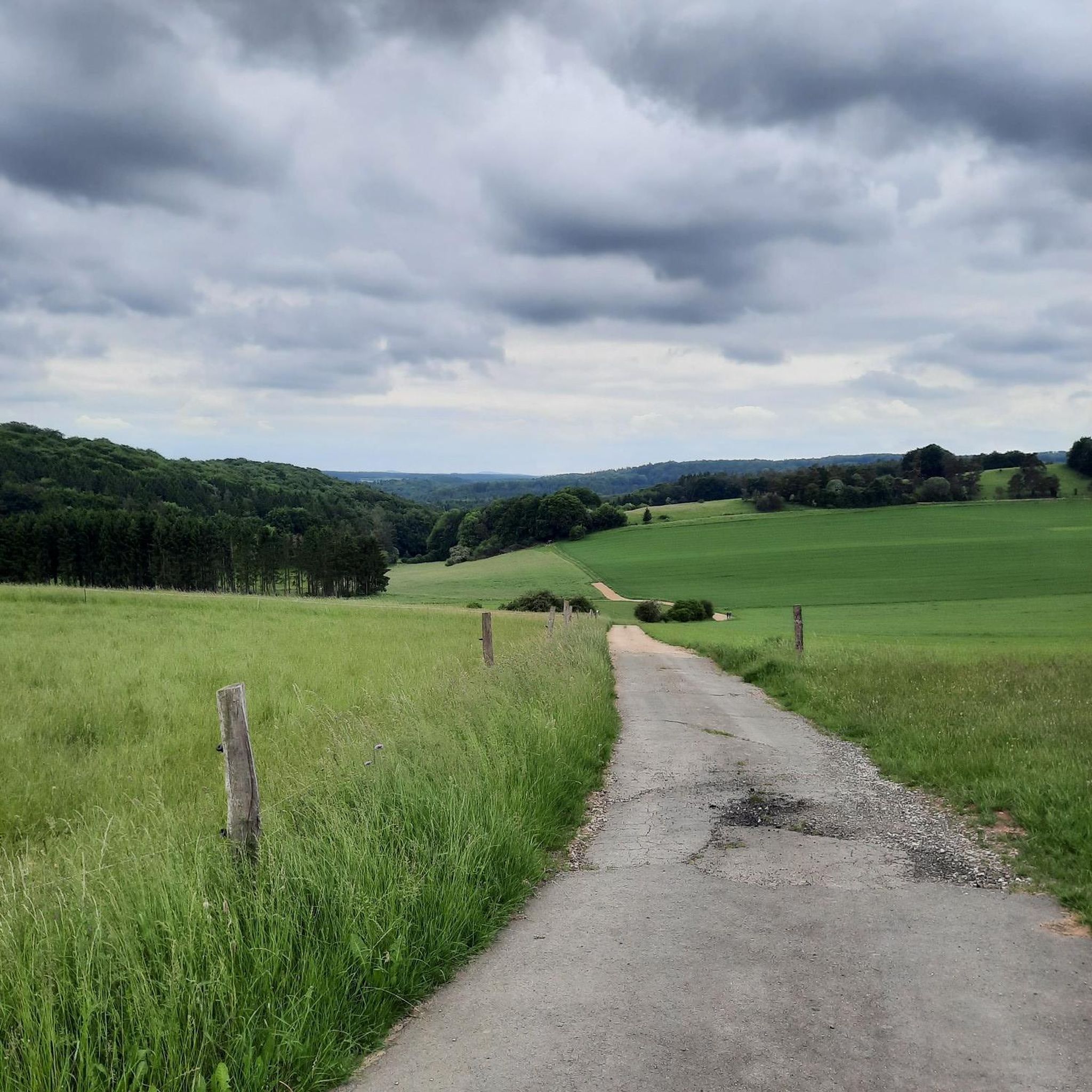
Running Trails around Blankenheim

Gravel biking around Blankenheim
Mountain Hikes around Blankenheim
Other adventures around Blankenheim


Tips from the Community

As so often, this former monastery is also represented multiple times in the komoot system, for the original see =>> https://www.komoot.com/de-de/highlight/834765
1
0

Small rest area directly on the main road at the edge of Ripsdorf. Beautiful panoramic views across the fields from here…
0
0

The scenery is very beautiful. A gravel bike is safer on the surface in autumn and when it's raining.
0
0

Nice change on the cycle path along the Ahr
0
0


The bike path is newly paved and in perfect condition! Top!
1
0

After the outdoor pool closed, the Weiherpark in the North Rhine-Westphalian municipality was left to its own devices – a barely used and inaccessible brownfield site with dilapidated structures emerged near the town center. A park is now being created at the confluence of the Ahr and Giesenbach rivers that blends into the landscape and connects Blankenheim with the surrounding nature. The vision: a spacious, species-rich valley landscape in the immediate vicinity of the town center. The Weiherpark has been rebuilt and redesigned over decades. After the swimming pool closed in 2015, large parts of it remained unused; only the Swan Pond in the center of the park remained accessible. The ideas and wishes of the residents were incorporated into the redevelopment plans. Existing and unused facilities will be demolished and landscaped; The subsequently remodeled terrain will connect to the neighboring valleys, bringing nature directly into the town. The renaturalized Weiherpark will be accessible and accessible for everyone. Thanks to the exposure of the Giesenbach stream, its confluence with the Ahr will become an integral part of the park, creating a connection to the Ahr source in the nearby historic town center. Source: https://die-gruene-stadt.de/ein-gruenes-tal-kehrt-zurueck/
5
0
Frequently Asked Questions
What types of road cycling routes can I find around Blankenheim?
Blankenheim offers a diverse range of road cycling routes, from moderate to difficult, traversing the rolling Eifel heights, wide fields, and lush forests. You'll find paths with challenging ascents and descents, as well as gentler gradients, particularly along the picturesque Ahr Valley. The area features over 100 routes, catering to various skill levels.
Are there any easy or beginner-friendly road cycling routes in Blankenheim?
Yes, while many routes offer a challenge, Blankenheim does have options suitable for beginners or those preferring a less strenuous ride. The region's network includes paths along former railway lines, which provide smooth surfaces and gentle gradients. For example, parts of the Ahr Cycle Path, which originates in Blankenheim, are known for their accessibility.
What are some of the most scenic viewpoints or natural attractions along the road cycling routes?
Road cycling routes around Blankenheim offer numerous scenic spots. You can enjoy panoramic views from the Eifel heights, explore unique ecological sights in the Lampertstal juniper conservation area, or cycle past the beautiful Dreimühlen Waterfall. Routes around Lake Freilingen also provide lovely views and recreational opportunities.
Can I find long-distance road cycling routes starting from Blankenheim?
Absolutely. Blankenheim is a great starting point for longer rides. The Ahr Cycle Path, for instance, begins here and stretches all the way to the Rhine. For a challenging long-distance option, consider the Kermeter Climb from Rur Dam – Serpentines to Rurberg loop from Blankenheim (Wald), which covers nearly 100 km with significant elevation gain.
What historical landmarks or cultural sites can I explore while road cycling in Blankenheim?
Blankenheim is rich in history. You can cycle past the impressive Kerpen Castle (Eifel), or visit the historic Grafenburg Castle which towers above Blankenheim. The charming old town center, with its medieval half-timbered houses and the Ahr spring, is also worth exploring. The remains of a Roman villa nearby add another historical dimension.
Are there circular road cycling routes available in the Blankenheim area?
Yes, many of the road cycling routes around Blankenheim are designed as loops, allowing you to start and finish in the same location. Popular circular routes include the Schwanenweiher Blankenheim – Col de Ripsdorf loop from Freilingen and the Kerpen Castle – Hillesheim City Wall loop from Freilingen.
What is the best season for road cycling in Blankenheim?
The Eifel region, including Blankenheim, is generally best for road cycling from spring through autumn. During these seasons, the weather is typically mild, and the landscapes are vibrant. Summer offers long daylight hours, while spring and autumn provide pleasant temperatures and beautiful foliage. Winter cycling is possible but may require more preparation due to colder temperatures and potential for ice or snow.
Are there places to stop for refreshments or accommodation along the road cycling routes?
Yes, the region is well-equipped with amenities for cyclists. Especially along popular routes like the Ahr Cycle Path, you'll find cafes, pubs, and accommodation options. The historic town centers and villages along the routes, such as Blankenheim itself, offer various places to refuel and rest. For example, the Nohner Mill Café is a notable stop.
What do other road cyclists enjoy most about cycling in Blankenheim?
The komoot community highly rates road cycling in Blankenheim, with an average score of 4.5 stars from over 50 reviews. Cyclists often praise the diverse terrain, from challenging Eifel heights to the picturesque Ahr Valley, and the well-maintained network of routes. The combination of scenic beauty, historical landmarks, and varied difficulty levels makes it a favorite destination.
Can I reach Blankenheim's road cycling routes using public transport, and is parking available?
Blankenheim is accessible by public transport, though options might vary depending on your starting point. For those traveling by car, parking is generally available in and around Blankenheim, especially near popular trailheads or in the town center. It's advisable to check specific parking availability for your chosen starting point.
Are there any routes that follow river valleys or former railway lines for a smoother ride?
Yes, the Ahr Valley is a prime example, with the Ahr Cycle Path offering gentler gradients along former railway lines. This provides a smooth surface ideal for road cycling, allowing for a more relaxed ride through picturesque scenery. The Ahr bridge at Ahrdorf station – Insul Tunnel loop from Freilingen is a great example of a route that follows the Ahr river.
Most popular routes around Blankenheim
Most popular attractions around Blankenheim

Get inspired with the komoot mobile app


Explore more
Browse the best Road cycling routes in other regions.
