The best MTB trails in Santa Rita
5.0
(1)
41
riders
3
rides
Mountain biking in Santa Rita offers a diverse landscape, transitioning from cactus-dotted desert at lower elevations to cool pine forests higher up. The region is characterized by rugged terrain, sharp peaks, and deep canyons, often featuring perennial streams. This "Sky Island" range provides varied conditions for mountain bikers, with significant elevation changes across its routes.
Best mountain bike trails in Santa Rita
- The most popular mountain bike trail is Science Station Viewpoint – Coconut Water loop from Jardim Cidade Universitária…
Last updated: July 11, 2026
18
riders
Moderate mountain bike ride. Good fitness required. Suitable for all skill levels.
5.0
(1)
9
riders
46.1km
03:01
320m
320m
Moderate mountain bike ride. Good fitness required. Suitable for all skill levels.

Sign up for free
8
riders
78.0km
05:14
650m
650m
Hard mountain bike ride. Very good fitness required. Suitable for all skill levels.
4
riders
73.9km
05:14
630m
630m
Hard mountain bike ride. Very good fitness required. Suitable for all skill levels.
2
riders
40.1km
02:22
250m
250m
Moderate mountain bike ride. Good fitness required. Suitable for all skill levels.
Our route recommendations are based on thousands of hikes, rides, and runs completed by other people on komoot.
Start today with a free account
Your next adventure awaits.
Login or Signup

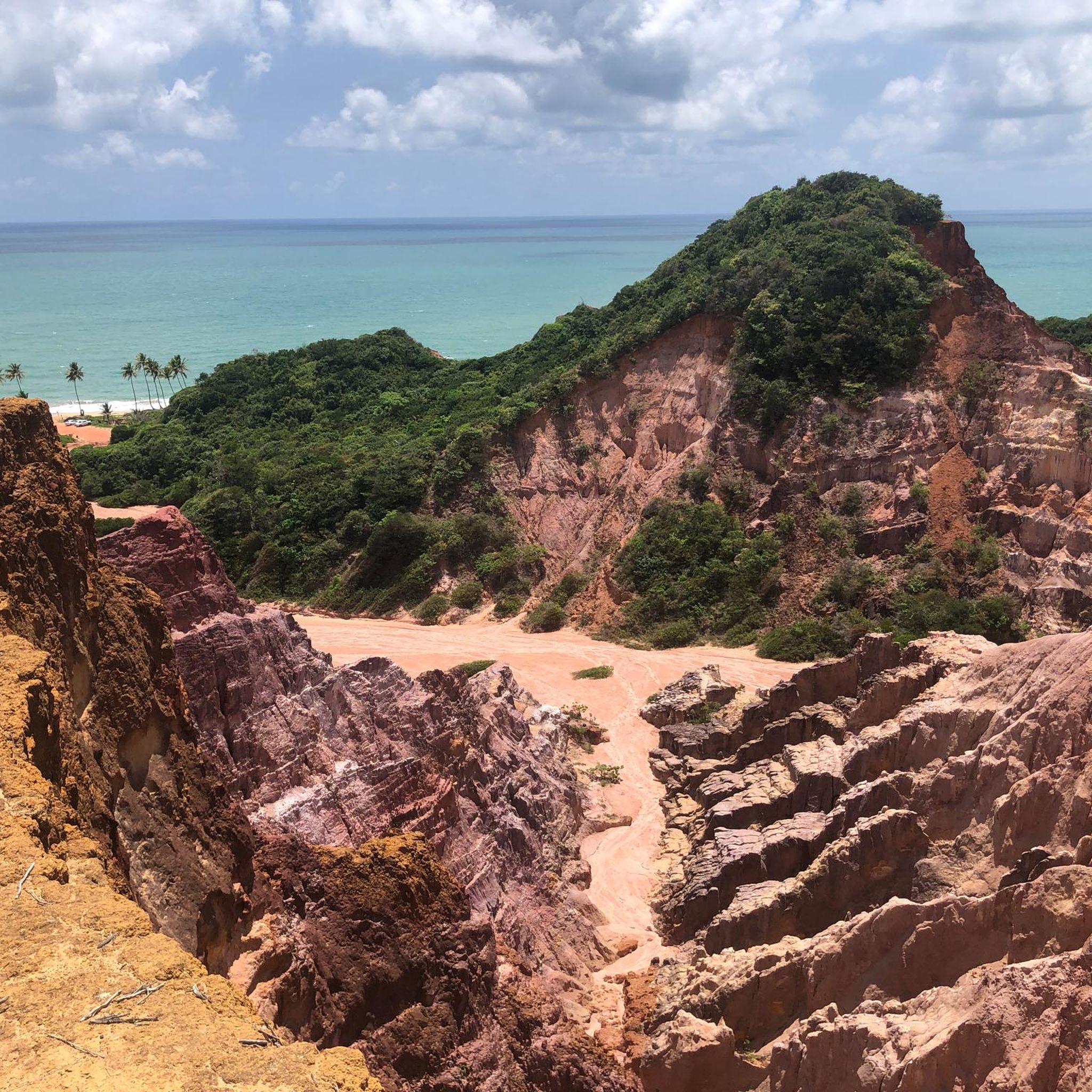
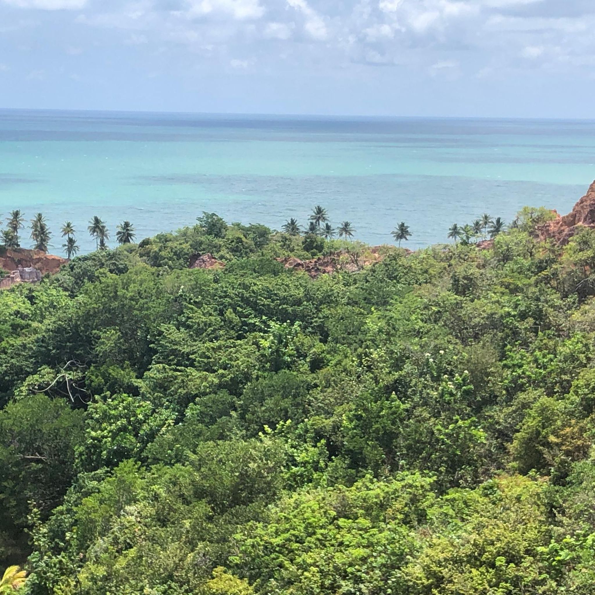
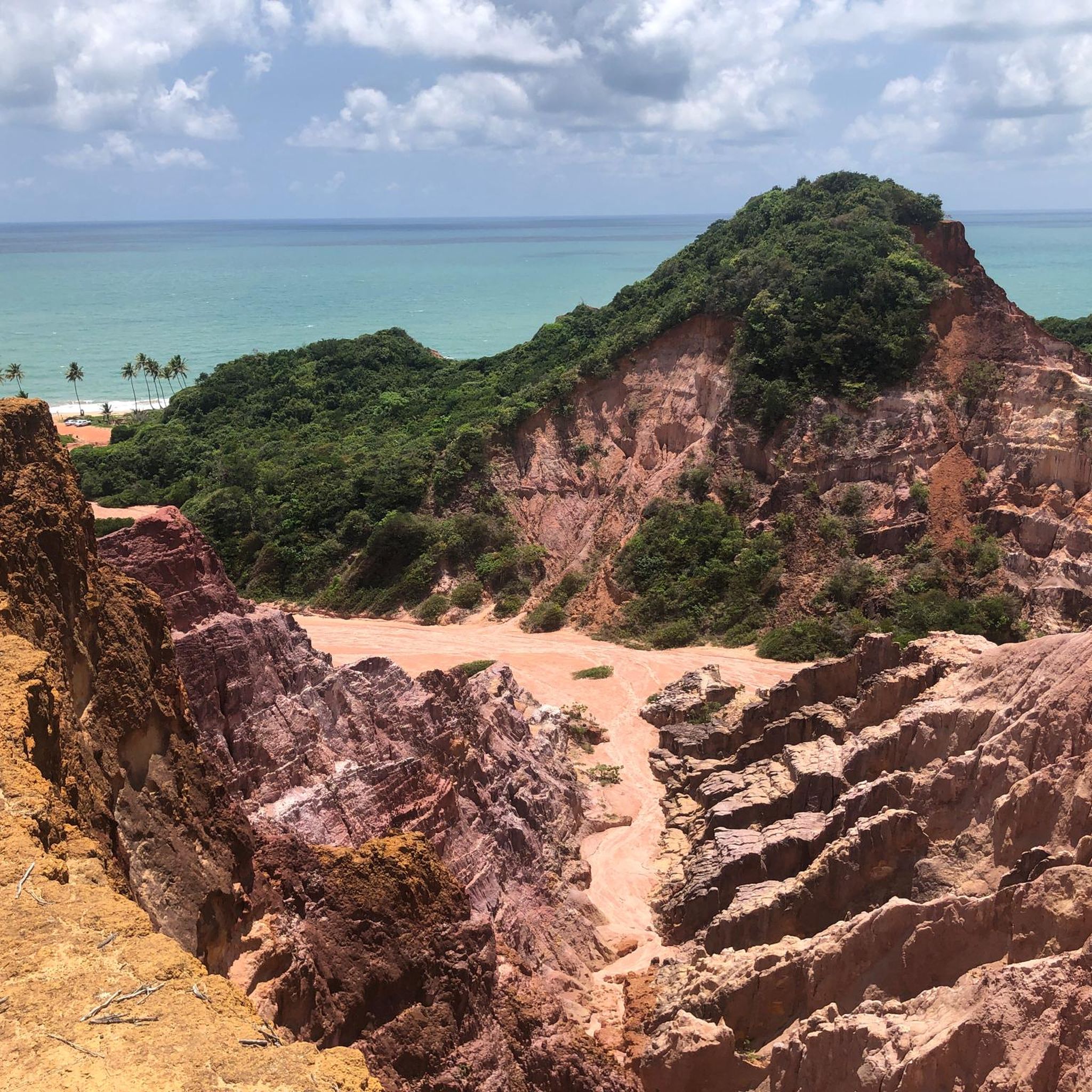
Tips from the Community


Open all seasons 24 hours a day in any weather. By bike or on foot it is always special.
0
0
Fantastic bike path that runs along the Atlantic Ocean in the center of the Brazilian city of Joao Pessoa. The path that passes through the edges of Cape Branco/Tambaù - Bessa - Ponta da Seixa winds through coconut trees and very hot beaches, offering truly exciting scenarios for colors, sea and nature. On the opposite side of the beach there are craft shops, restaurants and the inevitable hotels. This portion of the bike path offers a beautiful mountain bike tour under a sun that really doesn't joke around during the hottest hours.
0
0
Fantastic bike path that runs along the Atlantic Ocean in the center of the Brazilian city of Joao Pessoa. The path that passes through the edges of Cape Branco/Tambaù - Bessa - Ponta da Seixa winds through coconut trees and very hot beaches, offering truly exciting views of colors, ocean and nature. On the opposite side of the sea there are craft shops, restaurants and the inevitable hotels. This portion of the bike path offers a beautiful mountain bike tour under a sun that really doesn't joke around during the hottest hours.
0
0
Frequently Asked Questions
What kind of terrain can I expect when mountain biking in the Santa Rita Mountains?
The Santa Rita Mountains offer a highly varied landscape. You'll experience a dramatic transition from cactus-dotted desert at lower elevations to cooler pine forests higher up. The terrain is rugged, with sharp peaks and deep canyons, often featuring perennial streams. Expect significant elevation changes and a mix of gradual climbs through high desert grasslands, shady curves with oaks and sycamores, and steep ascents into higher elevations.
Are there mountain bike trails suitable for beginners or families in Santa Rita?
While the provided routes are rated moderate to difficult, the Santa Rita Mountains generally offer a range of trails. Some sections of the Arizona Trail, for example, are described as moderate difficulty singletracks. For families or beginners, it's best to look for trails specifically marked as 'green' (easy) or those with minimal elevation gain. Always check individual trail descriptions for suitability.
What are some notable natural features or landmarks I might see on a mountain bike ride?
The Santa Rita Mountains are rich in natural beauty. You might encounter the distinctive Elephant Head rock formation, especially on trails like the Elephant Head Trail. Madera Canyon is known for its riparian forest and perennial water flow. The region is also a prime example of a 'Sky Island' ecosystem, showcasing diverse flora and fauna as you ascend from desert scrub to pine forests. Mount Wrightson, the highest peak, offers sweeping high-altitude vistas.
Are there any circular mountain bike routes in the Santa Rita Mountains?
Yes, there are several circular routes available. For instance, you could explore the Science Station Viewpoint – Coconut Water loop from Jardim Cidade Universitária, a moderate 27.6-mile ride. Another option is the Praia Barra De Gramame – Science Station Viewpoint loop from Cabo Branco, which is 28.6 miles long and also rated moderate.
What is the best time of year to go mountain biking in the Santa Rita Mountains?
The 'Sky Island' nature of the Santa Rita Mountains means conditions vary significantly with elevation. Lower desert trails are best enjoyed in the cooler months, from late fall through spring, to avoid extreme summer heat. Higher elevation trails, particularly those in the pine forests, offer a cooler escape during the summer. Be mindful of the rainy season, as some trails, especially those with river crossings, can become challenging.
How long are the mountain bike trails in Santa Rita?
The trails vary significantly in length. For example, the Science Station Viewpoint loop from Mandacaru is a challenging 47.9-mile route. Other options include the 27.6-mile Science Station Viewpoint – Coconut Water loop from Jardim Cidade Universitária, or the 28.6-mile Praia Barra De Gramame – Science Station Viewpoint loop from Cabo Branco. There are also shorter sections of trails like the AZT - Oak Tree trail, which is about 3 miles long.
What do other mountain bikers say about the trails in Santa Rita?
The mountain bike routes in Santa Rita are highly regarded by the komoot community, holding an average score of 5.0 stars from over 1 review. Users often appreciate the diverse landscape, from desert to pine forests, and the challenging yet rewarding nature of the rides. Many enjoy the significant elevation changes and the unique 'Sky Island' experience.
Are there any historical sites or points of interest near the mountain bike trails?
Yes, the Santa Rita Mountains are home to some interesting historical sites. Kentucky Camp, constructed in 1904, was once the headquarters for the Santa Rita Water Company and now features surviving buildings and adobe ruins. It's a popular spot for various outdoor activities, including mountain biking and exploring backroads.
What kind of wildlife might I encounter while mountain biking in Santa Rita?
The 'Sky Island' ecosystem supports a rich biodiversity. Madera Canyon is particularly famous for birdwatching, home to over 230 bird species, including rare hummingbirds and the elegant trogon. As you move through different elevations, you might see various desert animals at lower altitudes and forest creatures higher up. Always be aware of your surroundings and respect wildlife.
Are there any cafes or places to eat near the mountain bike trails?
While the Santa Rita Mountains offer a remote outdoor experience, Madera Canyon, a popular area within the range, has some visitor facilities. For more extensive dining options, you would typically need to head to nearby towns or communities surrounding the Coronado National Forest. It's always a good idea to pack sufficient water and snacks for your ride.
How many mountain bike trails are available in the Santa Rita Mountains?
Komoot currently lists a selection of mountain bike routes in the Santa Rita Mountains, with over 3 routes detailed in this guide. These range in difficulty from moderate to difficult, offering diverse experiences for riders.
What is the difficulty level of mountain biking in Santa Rita?
Mountain biking in Santa Rita offers a range of difficulties. The routes highlighted in this guide are primarily rated as moderate to difficult, featuring significant elevation changes and rugged terrain. For example, the Praia da Pesca – Science Station Viewpoint loop from 401 is a difficult 45.9-mile route. However, the region also contains sections of multi-use trails, like parts of the Arizona Trail, that are considered moderate.
Most popular routes in Santa Rita

Get inspired with the komoot mobile app


Explore more
Browse the best MTB trails in other regions.
