The best walks and hikes around Haslach an der Mühl
4.6
(2267)
12,152
hikers
73
hikes
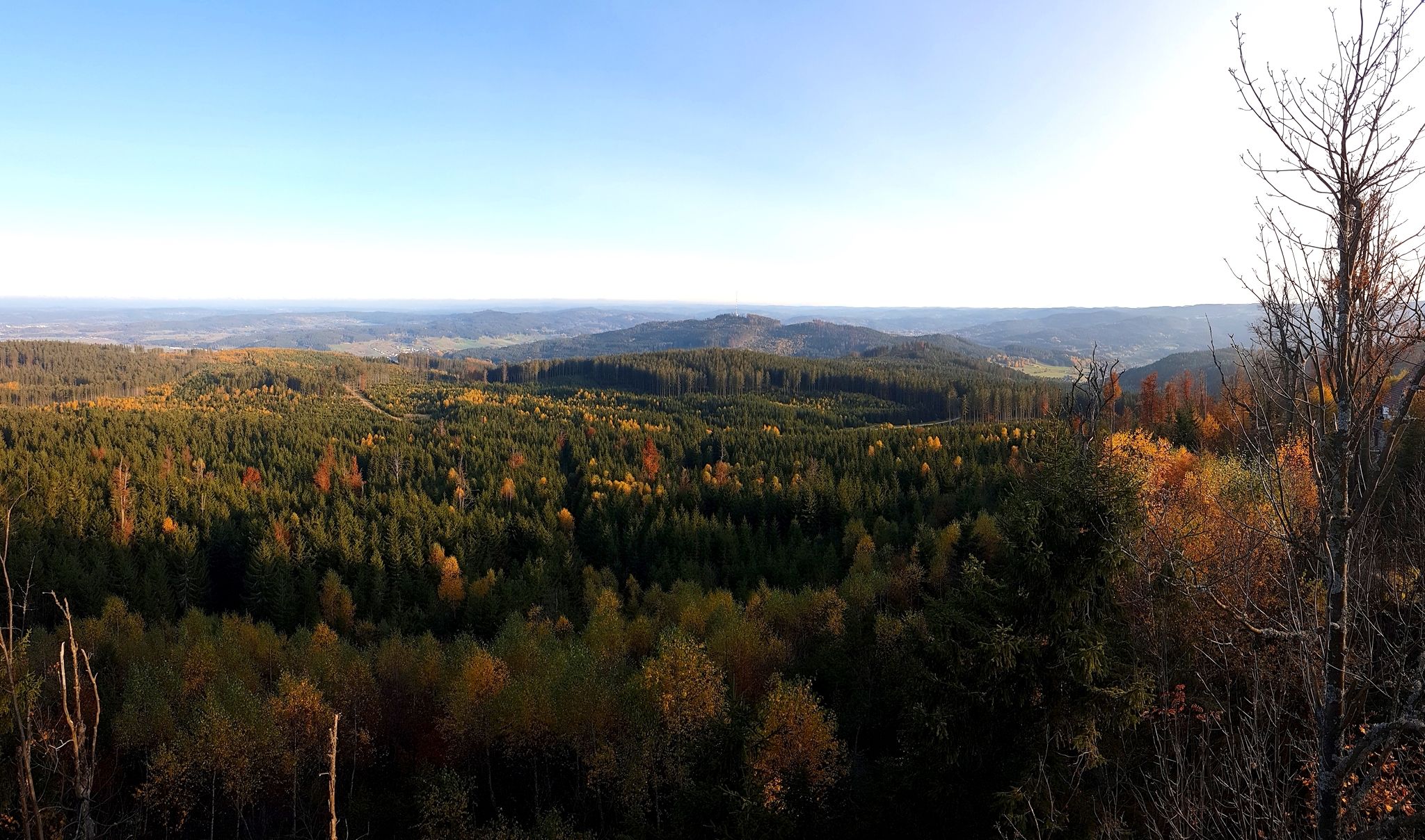
Hiking around Haslach an der Mühl offers diverse terrain in the Upper Mühlviertel, characterized by its location at the confluence of the Große and Steinerne Mühl rivers. The region features rolling hills, dense forests, and river valleys, providing a natural setting for outdoor activities. Trails often follow the courses of these rivers, leading through green meadows and wooded areas. The landscape includes access to the edge of the Bohemian Forest, offering varied hiking experiences.
Best hiking trails around Haslach an…
Last updated: October 28, 2026
4.6
(45)
206
hikers
13.2km
03:39
230m
230m
Moderate hike. Good fitness required. Easily walkable paths.
4.6
(48)
205
hikers
11.6km
03:15
220m
220m
Moderate hike. Good fitness required. Easily walkable paths.

4.8
(24)
191
hikers
5.88km
01:38
70m
70m
Moderate hike. Mostly walkable paths. Sure-footedness required.
4.8
(21)
155
hikers
Moderate hike. Good fitness required. Easily walkable paths.
4.7
(20)
89
hikers
Moderate hike. Good fitness required. Easily walkable paths.
Get access to more routes and recommendations from other explorers.
Already have an account?
Our route recommendations are based on thousands of hikes, rides, and runs completed by other people on komoot.
Start today with a free account
Your next adventure awaits.


Other adventures around Haslach an der Mühl

Tips from the Community

Very nice section of the flood channel!
0
0
Beautiful old boundary stone with a detailed information board.
0
0
Probably one of the most beautiful sections on the Schwarzenbergischen Schwemmkanal.
0
0
Beautiful hiking trail between Helfenberg and Haslach. Sometimes the deer fly spoils the pleasure of walking here...
0
0
Unfortunately, the Notarquelle does not provide drinking water...
0
0

A hike of approximately 1 1/2 hours; hiking boots are required.
0
0

Imperial and Royal Land of Upper Austria, Year 1788
0
0

Frequently Asked Questions
How many hiking trails are available around Haslach an der Mühl?
There are over 70 hiking trails around Haslach an der Mühl, offering a wide range of options for different skill levels and preferences. You'll find everything from leisurely river walks to more demanding routes through forested hills.
What kind of terrain and difficulty can I expect on hikes in Haslach an der Mühl?
The region offers diverse terrain, from gentle river valleys along the Große and Steinerne Mühl rivers to more challenging ascents in the surrounding hills and towards the edge of the Bohemian Forest. You can find easy walks, moderate trails, and a few more difficult routes, with options for various fitness levels.
Are there any family-friendly hiking trails in Haslach an der Mühl?
Yes, Haslach an der Mühl offers several family-friendly options. The Naturerlebnisweg Steinerne Mühl is a particularly good choice, being an easy 4 km circular path designed for sensory engagement with nature, featuring interactive stations and even a natural bathing area in summer.
Can I find circular hiking routes in the area?
Many of the hiking routes around Haslach an der Mühl are circular, allowing you to start and end at the same point. Examples include the popular Zaglmühle Waterfall – Along the Große Mühl loop from Auberg or the shorter Zaglmühle – Zaglmühle Waterfall loop from Haslach an der Mühl.
Are there any hikes that feature waterfalls?
Absolutely! The scenic Zaglmühle Waterfall is a prominent natural attraction in the area, and several hiking loops incorporate it. You can explore routes like the Along the Große Mühl – Zaglmühle Waterfall loop from Haslach an der Mühl to experience this beautiful feature.
What are some notable natural features or landmarks to see while hiking?
Beyond the Zaglmühle Waterfall, you can explore the picturesque Große and Steinerne Mühl rivers, which define the local geography. The Viewpoint at Die Bayerische Au with view of the Moldau Reservoir offers expansive vistas, and you can also find various summit crosses like the Summit Cross Kugelberg for panoramic views.
What is the best time of year for hiking in Haslach an der Mühl?
The region is beautiful for hiking throughout the warmer months, from spring to autumn, when the river valleys are lush and the forests are vibrant. Winter also offers opportunities for scenic walks, such as the 4.5 km easy circular Haslacher Rundumweg, which provides views of Haslach from all sides.
Are there any long-distance hiking trails that pass through or near Haslach an der Mühl?
Yes, Haslach an der Mühl is connected to significant long-distance trails. The Nordwaldkammweg, an easy long-distance trail, has sections passing through or near the town. Additionally, the Große Mühl Hiking Trail W1, a medium-difficulty 25 km trail, ends in Haslach an der Mühl, offering picturesque views along the river.
What do other hikers enjoy most about the trails in Haslach an der Mühl?
The trails in Haslach an der Mühl are highly rated by the komoot community, with an average score of 4.8 stars. Hikers often praise the diverse landscapes, the tranquility of the river valleys, the well-maintained paths, and the natural beauty of features like the Zaglmühle Waterfall.
Are there any opportunities for wild swimming or other water activities after a hike?
Yes, after a hike, you can cool off at the Freizeitzentrum Kranzling, which offers a natural swimming area with a large sunbathing lawn. The Naturerlebnisweg Steinerne Mühl also features a natural bathing area in summer.
Are the hiking trails in Haslach an der Mühl suitable for dogs?
Most hiking trails in the region are generally dog-friendly, but it's always recommended to keep your dog on a leash, especially in nature reserves or areas with livestock. Ensure you carry enough water for your pet, particularly on longer routes.
Are there any viewpoints offering panoramic vistas of the region?
Yes, the region offers several viewpoints. For instance, the Heiligenwasser Chapel – View of Haslach from Rest Area loop from Haslach an der Mühl provides excellent views of the town. For broader panoramas, consider routes that ascend mountains like the Hochwechsel or Sonnstein, which offer breathtaking views over the entire valley.
Most popular routes around Haslach an der Mühl
Most popular attractions around Haslach an der Mühl

Get inspired with the komoot mobile app


Explore more
Browse the best Hikes in other regions.
