The 9 Most Amazing Peaks around Brockscheid
Best mountain peaks around Brockscheid are found within the Vulkaneifel region, characterized by its volcanic history and unique geological features. This area offers numerous elevated points and natural formations that provide panoramic views of the surrounding landscape. Visitors can explore extinct volcanoes, crater lakes, and historical sites situated on prominent hills. The region serves as a starting point for various outdoor activities, including hiking and exploring its distinct topography.
Best mountain peaks around Brockscheid
- The most popular mountain peaks is…
Last updated: July 1, 2026
Dronke Tower on the Mäuseberg
Highlight • Viewpoint
Translated by Google •
Tip by

Maarkreuz Schalkenmehren
Highlight • Viewpoint
Translated by Google •
Tip by

Sign up now to discover places like this
Get recommendations on the best single tracks, peaks, & plenty of other exciting outdoor places.
Sign up for free
Millstone Cave at Nerother Kopf
Highlight • Cave
The millstone cave consists of lava boards and is an artificial cave in the Vulkaneifel, Rhineland-Palatinate. It was created by the production of …
Translated by Google •
Tip by

Windsborn Crater summit
Highlight • Viewpoint
Translated by Google •
Tip by

Freudenkoppe Castle Ruins
Highlight • Castle
Translated by Google •
Tip by
Sign up for free to discover even more peaks around Brockscheid.
Sign up for free
Already have an account?
Start today with a free account
Your next adventure awaits.
Login or Signup
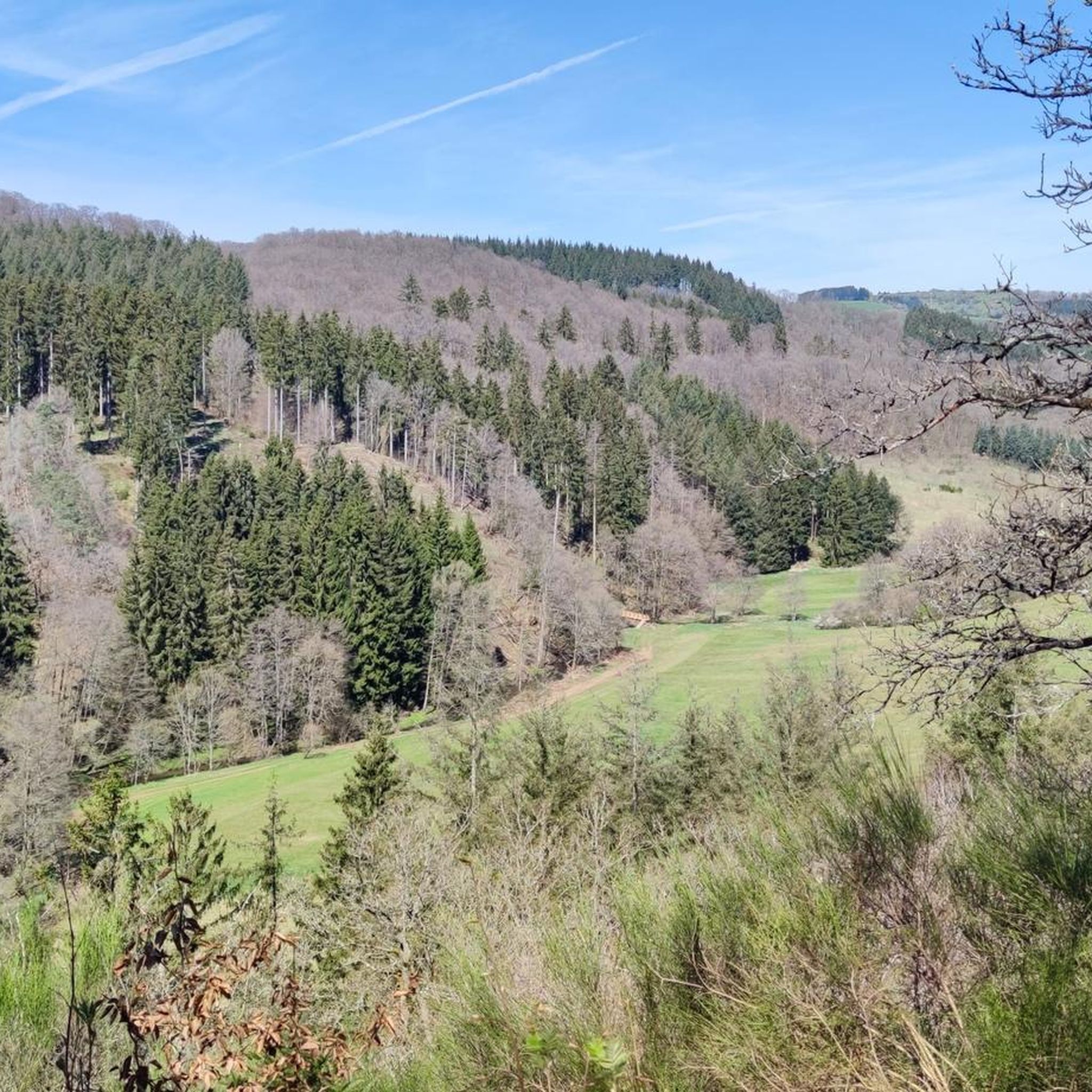
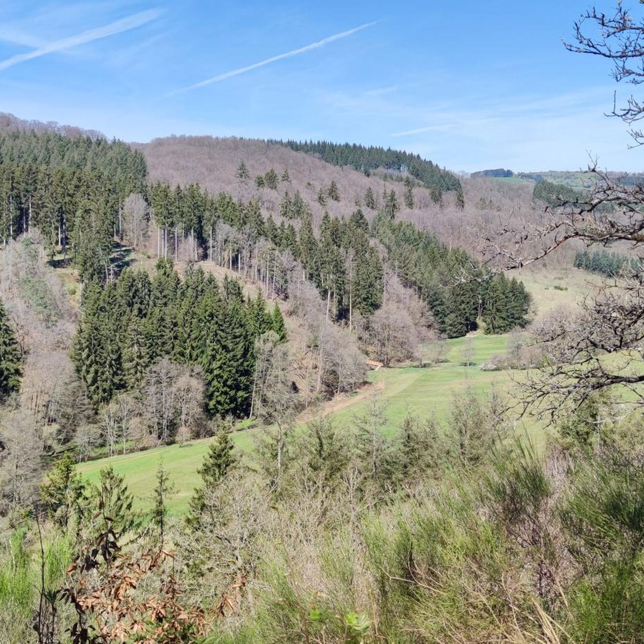
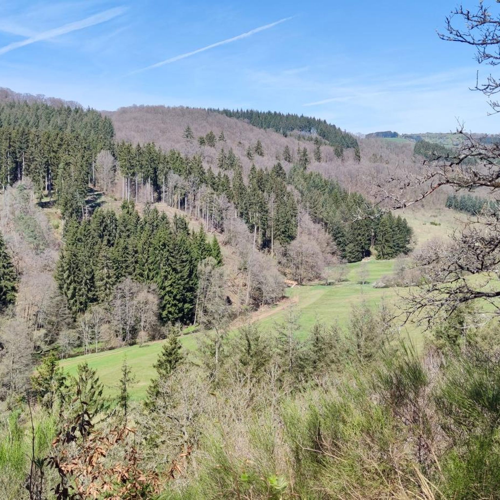
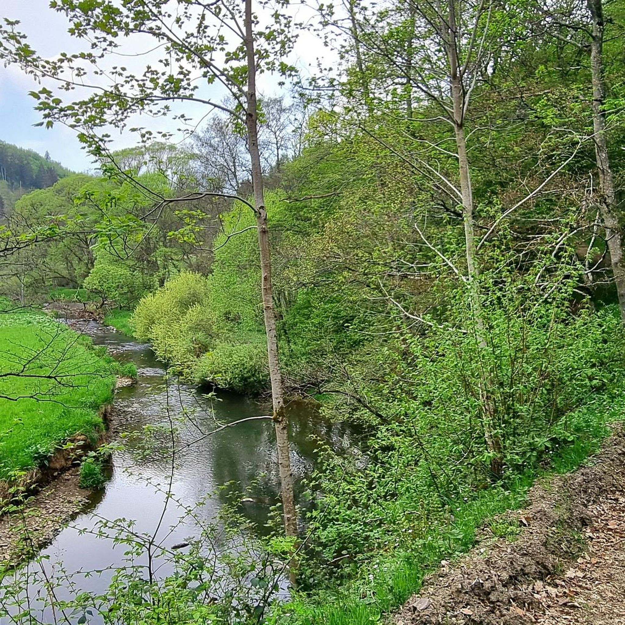

Tips from the Community

The steep climb to the castle is quite difficult. A real calf biter! But once at the top you forget it all. Beautiful ruin and the cave is more than worth it.
5
0

You just have to go up to this summit cross, it's a pity that there is no summit book.
4
0

Nice view with markers for orientation. The tower, which was built in 1902, is only 11m high, but stands on top of the 560m high Mauseberg and is thus 166m above the Gemünder Maar, guaranteeing a magnificent view of the surrounding area.
14
0
Beautiful view with an information board for orientation. The tower, built in 1902, is only eleven meters high, but stands at the top of the 560-meter-high Mäuseberg and is thus 166 meters above the Gemünder Maar. This guarantees a magnificent view over the surrounding area.
19
1
Very nice place and viewing point at the Maarkreuz above the Schalkenmehrener Maar. With its inscription "You are called the Maar Cross, for the salvation of us and this country. Emergency year 1932", the cross commemorates severe thunderstorms and the resulting damage and crop failures.
12
0

Very well preserved ruin. Exploring them with children is a very special experience. Especially nice in late spring when the trees all around are fresh green.
8
0
The Nerother Kopf is an extinct volcano of recent date. It was formed about 15,000 years ago when the earth broke up here and glowing magma welled up from the depths of the earth. At that time, a fracture zone formed in the earth rock, which formed the origin of the volcanic chain "West Eifel". https://www.neroth.de/tourismus/nerother-kopf
6
0
The Millstone Cave is located at the summit of the Neroth Head, a wooded hill of volcanic origin east of Neroth. The entrance is just below the Freudenkoppe castle ruins at an altitude of about 640 m and can be reached via a hiking trail. The cave is 18 meters deep and its vault up to 10 meters high. It is walkable, but unlit (torch required). Wikipedia
5
0
Frequently Asked Questions
What are some of the most unique mountain peaks and elevated sites to visit near Brockscheid?
The region offers several distinct elevated sites. The Freudenkoppe Castle Ruins, located on a 610-meter high basalt cone, features the remains of a medieval hilltop castle. Another notable spot is the Windsborn Crater summit, which offers views down to one of the few volcanic crater lakes north of the Alps.
Where can I find the best panoramic views of the Vulkaneifel landscape?
For breathtaking panoramic views, visit the Dronke Tower on the Mäuseberg. This almost 11-meter high observation tower provides expansive vistas of the volcanic Eifel, including the Dauner Maare (Gemündener Maar, Weinfelder Maar, and Schalkenmehrener Maar). On clear days, you can even see as far as the Hunsrück mountains.
Are there any historical sites on the mountain peaks around Brockscheid?
Yes, the Freudenkoppe Castle Ruins on the Nerother Kopf are a significant historical site. This medieval hilltop castle was built between 1337 and 1340. Additionally, the Millstone Cave at Nerother Kopf is an artificial cave carved out of lava rock, dating back to the 13th century, and holds historical importance as the founding place of the 'Nerother Wandervogel' youth club.
What kind of natural features can I expect to see on the peaks near Brockscheid?
The region is characterized by its volcanic history. You'll encounter extinct volcanoes, such as the Nerother Kopf, and unique crater lakes. The Windsborn Crater summit, for example, overlooks a shallow crater lake formed approximately 30,000 years ago. The area also features dense beech forests and diverse geological formations.
Are there family-friendly mountain peaks or elevated viewpoints suitable for children?
While many trails can be enjoyed by families, the Maarkreuz — View of the Schalkenmehren Maar is a particularly family-friendly viewpoint. It offers a relaxing place to rest with fantastic views of the Schalkenmehrener Maar and the volcanic landscape. The area near the Weinfelder Maar, accessible from Mäuseberg, also features a petting zoo, adding to its family appeal.
What outdoor activities can I do near the mountain peaks around Brockscheid?
The region is excellent for various outdoor activities. You can explore numerous hiking trails, including sections of the Eifelsteig, or enjoy challenging routes for mountain biking. For more detailed hiking options, refer to the Hiking around Brockscheid guide. If you're looking for more strenuous climbs, the Mountain Hikes around Brockscheid guide offers challenging routes like the 'Keep of Oberburg Castle loop'.
Are there challenging hiking trails for experienced hikers in the Brockscheid area?
Yes, the Vulkaneifel region offers challenging paths, particularly around the Mäuseberg and Nerother Kopf. Some routes leading to the Dronke Tower on the Mäuseberg are steep and demanding. The Mountain Hikes around Brockscheid guide lists several difficult routes, such as the 'Wäschebach Suspension Bridge loop from Manderscheid'.
What is the best time of year to hike the peaks around Brockscheid?
The Vulkaneifel region is beautiful year-round. Spring and autumn offer pleasant temperatures and vibrant scenery, with spring bringing blooming flora and autumn showcasing colorful foliage. Summer is also popular, though trails can be busier. Winter hiking is possible, but some paths might be more challenging due to weather conditions.
What makes the Nerother Kopf a significant peak to visit?
The Nerother Kopf is an extinct volcano, standing at 651.7 meters, making it one of the higher points in the Vulkaneifel. It's significant for its natural beauty and historical importance, hosting the Freudenkoppe Castle Ruins and the fascinating Millstone Cave, which provides insight into the region's geological and industrial past.
Can I find circular walking routes around the mountain peaks near Brockscheid?
Yes, the region is well-suited for circular walks. Many paths traverse the Vulkaneifel, connecting various natural attractions and villages. For example, the Hiking around Brockscheid guide includes routes like the 'Lieser Valley – Manderscheid Rock Trail loop from Brockscheid' and the 'Holzmaar Viewing Platform – View of the Holzmaar loop from Udler'.
What do visitors enjoy most about the mountain peaks and elevated sites in the Brockscheid region?
Visitors particularly appreciate the stunning panoramic views, especially from spots like the Dronke Tower. The unique volcanic landscape, including the maars and crater lakes, is a major draw. The combination of natural beauty with historical sites like the Freudenkoppe Castle Ruins and the Millstone Cave also makes for a rich and varied experience.
Are there opportunities for road cycling near the mountain peaks of Brockscheid?
Yes, the area around Brockscheid offers several road cycling routes. You can find options ranging from easy to difficult, allowing you to explore the scenic Vulkaneifel by bike. For detailed routes, check the Road Cycling Routes around Brockscheid guide, which includes routes like the 'Mosel-Maare Cycle Path – Maare-Moselle Cycle Path loop'.
Most popular routes around Brockscheid
Most popular attractions around Brockscheid

Get inspired with the komoot mobile app


Explore more
See even more amazing summits around Brockscheid with these guides:
