The 17 Most Amazing Peaks around Hörscheid
Best mountain peaks around Hörscheid are found within the Vulkaneifel district of Rhineland-Palatinate, Germany. The region features a modest elevation profile, with the highest point directly within Hörscheid being die Kapp at 590 meters above sea level. This area is characterized by its volcanic landscape, maars, and varied topography, offering numerous hiking opportunities. Exploring the wider Vulkaneifel region provides access to more pronounced mountain experiences and notable natural features.
Best mountain peaks around Hörscheid
- The most popular mountain peaks is…
Last updated: July 1, 2026
Dronke Tower on the Mäuseberg
Highlight • Viewpoint
Translated by Google •
Tip by

Maarkreuz Schalkenmehren
Highlight • Viewpoint
Translated by Google •
Tip by

Sign up now to discover places like this
Get recommendations on the best single tracks, peaks, & plenty of other exciting outdoor places.
Sign up for free
Millstone Cave at Nerother Kopf
Highlight • Cave
The millstone cave consists of lava boards and is an artificial cave in the Vulkaneifel, Rhineland-Palatinate. It was created by the production of …
Translated by Google •
Tip by

Freudenkoppe Castle Ruins
Highlight • Castle
Translated by Google •
Tip by
Ernstberg
Highlight • Volcano
Translated by Google •
Tip by

Sign up for free to discover even more peaks around Hörscheid.
Sign up for free
Already have an account?
Start today with a free account
Your next adventure awaits.
Login or Signup
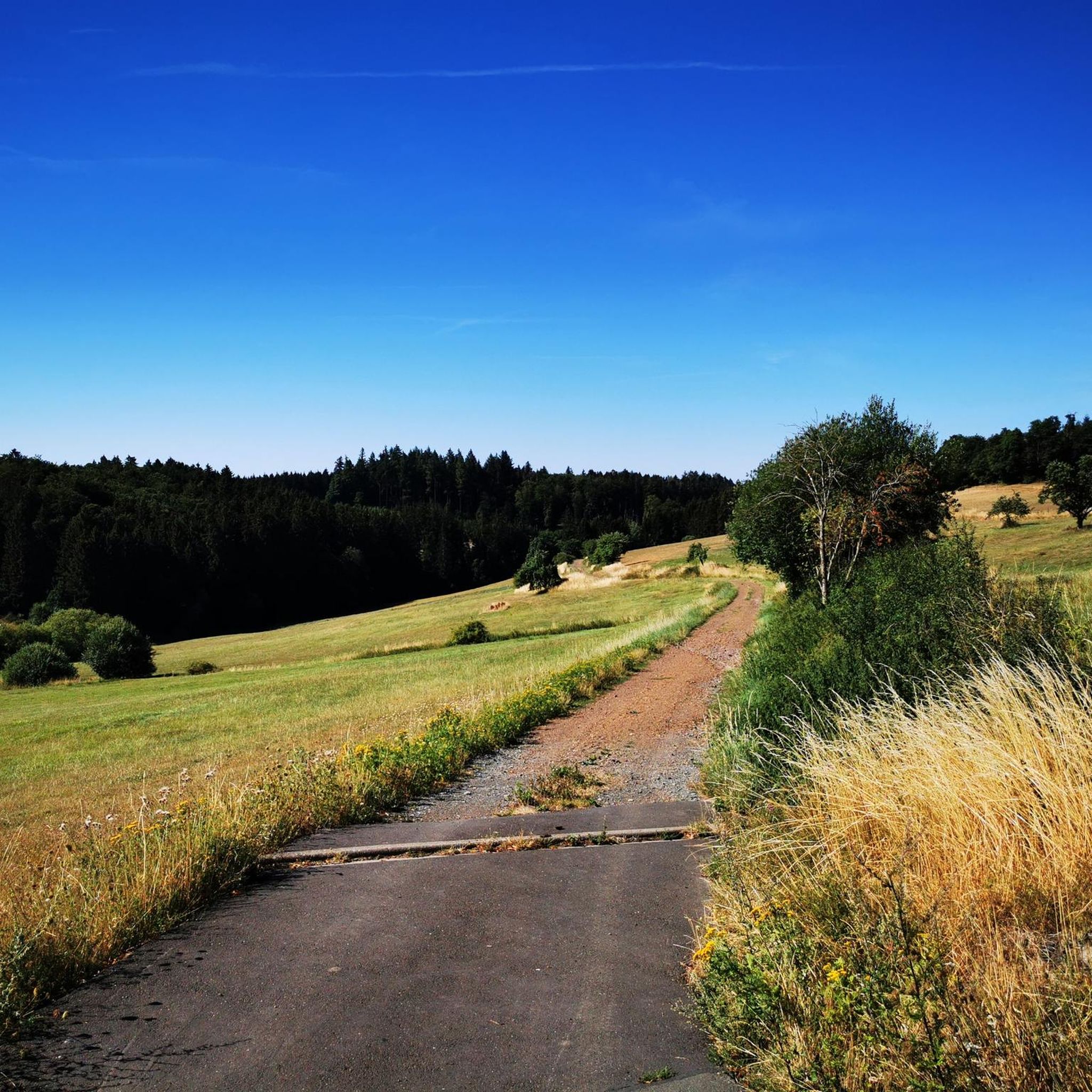
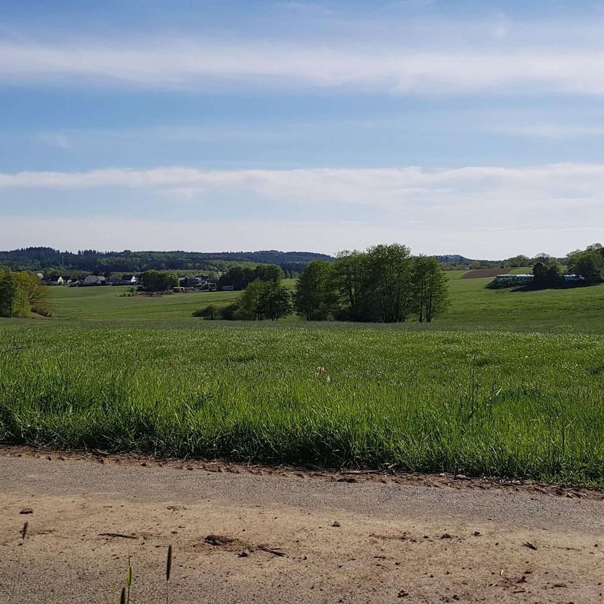
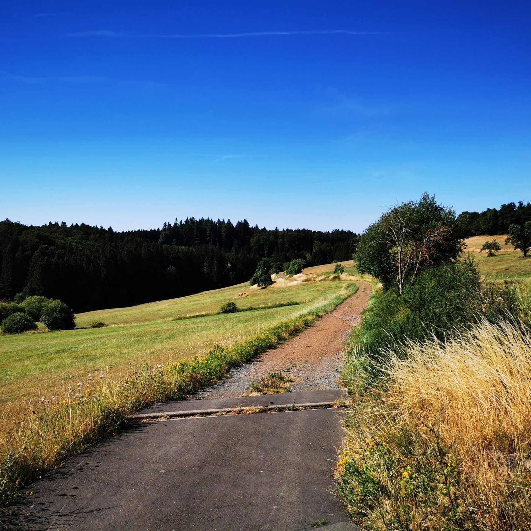
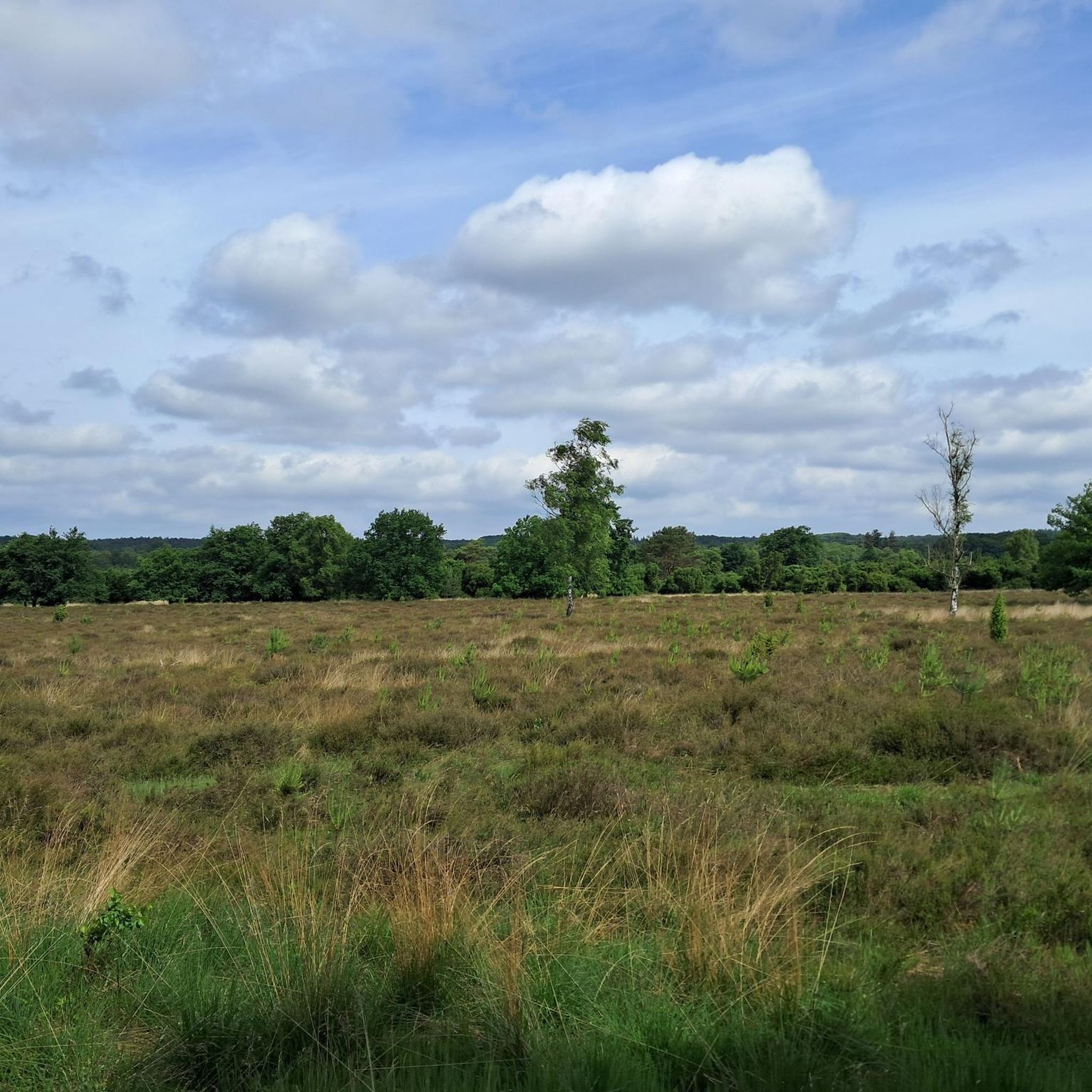
Tips from the Community

The 699 meter high Ernstberg is the highest elevation in the Eifel after the Hohe Acht. Since the summit is covered in forest, you unfortunately don't have a clear view of the surrounding landscape of the Volcanic Eifel from up here. About 500 meters away and about 60 meters lower is the Eifel-Blick Ernstberg, which offers us a wonderful panorama in clear weather.
3
1
The Ernstberg is an old Pleistocene stratovolcano with a distinctive ring-shaped arrangement of welding slag and basalt deposits. Its summit consists of welding slag, which builds up a crater wall that is open to the east. This is where the basalt masses flowed out, forming a semicircle on the eastern slope of the mountain; from the Middle Ages until around 1930, millstones were quarried at the foot of the mountain. Source: Wikipedia
4
0
After the climb to the summit of the Ernstberg, the benches offer a well-deserved breather.
3
0

Strenuous climb to a lot of rocks in the forest, a beautiful piece of unspoilt nature.
2
0

The steep climb to the castle is quite difficult. A real calf biter! But once at the top you forget it all. Beautiful ruin and the cave is more than worth it.
5
0

Nice view with markers for orientation. The tower, which was built in 1902, is only 11m high, but stands on top of the 560m high Mauseberg and is thus 166m above the Gemünder Maar, guaranteeing a magnificent view of the surrounding area.
14
0
Beautiful view with an information board for orientation. The tower, built in 1902, is only eleven meters high, but stands at the top of the 560-meter-high Mäuseberg and is thus 166 meters above the Gemünder Maar. This guarantees a magnificent view over the surrounding area.
19
1
Very nice place and viewing point at the Maarkreuz above the Schalkenmehrener Maar. With its inscription "You are called the Maar Cross, for the salvation of us and this country. Emergency year 1932", the cross commemorates severe thunderstorms and the resulting damage and crop failures.
12
0
Frequently Asked Questions
What are some notable mountain peaks to visit around Hörscheid?
The region around Hörscheid, within the Vulkaneifel, offers several interesting peaks. You can explore the ruins of Freudenkoppe Castle Ruins on a 610-meter basalt cone, or hike up Ernstberg, the highest volcano in the Western Eifel. For panoramic views, visit the Dronke Tower on the Mäuseberg.
What natural features can I expect to see on the peaks around Hörscheid?
The Vulkaneifel region is characterized by its volcanic landscape. On peaks like Ernstberg, you'll find forested slopes with interesting rock formations. You can also discover maars (volcanic lakes) from viewpoints such as the Dronke Tower on the Mäuseberg, which offers views of the Gemündener Maar, or the Maarkreuz overlooking the Schalkenmehren Maar.
Are there any historical sites on the peaks near Hörscheid?
Yes, the area features several historical sites. The Freudenkoppe Castle Ruins, dating back to the 14th century, stand on a basalt cone and offer a glimpse into medieval history. Nearby, the Millstone Cave at Nerother Kopf is an artificial cave created by millstone production, with a history stretching back before the castle's construction.
What is the highest point directly within the municipality of Hörscheid?
The highest elevation located directly within the municipality of Hörscheid is **die Kapp**, standing at 590 meters above sea level. While it's the local high point, the wider Vulkaneifel region offers more prominent peaks and attractions.
Are there family-friendly mountain walks around Hörscheid?
Yes, some areas offer family-friendly options. The Maarkreuz — View of the Schalkenmehren Maar is noted as family-friendly, providing a relaxing place to rest with views of the maar. When planning, look for trails with easier difficulty ratings.
What kind of views can I expect from the mountain peaks?
From various viewpoints, you can expect expansive vistas of the volcanic landscape. The Dronke Tower on the Mäuseberg provides panoramic views of the Gemündener Maar and the surrounding Eifel. Similarly, the Maarkreuz offers a fantastic view of the Schalkenmehren Maar and the vast volcanic landscape.
What outdoor activities can I do near the mountain peaks around Hörscheid?
Beyond exploring the peaks themselves, the area around Hörscheid offers various outdoor activities. You can find numerous running trails, as well as options for gravel biking and road cycling. Many trails lead through the forested slopes of the peaks, suitable for hiking and mountain biking.
Are there challenging hikes for experienced visitors?
Yes, some trails leading to and around the peaks can be challenging. For example, the paths leading up to the Dronke Tower on the Mäuseberg are described as very beautiful but steep, suitable for those looking for a challenge. The Freudenkoppe Castle Ruins and Millstone Cave at Nerother Kopf are also part of challenging routes.
What do komoot users particularly enjoy about the peaks around Hörscheid?
Komoot users appreciate the diverse experiences offered by the peaks. They enjoy the well-preserved keep and impressive masonry of the Freudenkoppe Castle Ruins, the unique rock formations and forested slopes of Ernstberg, and the panoramic views from the Dronke Tower on the Mäuseberg. The combination of natural beauty and historical sites is a major draw.
What is the best time to visit the mountain peaks around Hörscheid?
The Vulkaneifel region offers beauty in all seasons. Spring and autumn are particularly pleasant for hiking, with mild temperatures and vibrant foliage. However, the views from spots like the Dronke Tower on the Mäuseberg are rewarding year-round. If visiting Ernstberg, a view might be possible from the summit when trees have no leaves.
Are there dog-friendly trails on the peaks around Hörscheid?
While specific dog-friendly designations for individual peaks are not always listed, many natural trails in the Vulkaneifel region are suitable for walks with dogs, provided they are kept on a leash. It's always a good idea to check local regulations or signage at trailheads.
Where can I find accommodation or places to eat near the mountain peaks?
Hörscheid is a small municipality, but the wider Vulkaneifel region offers various options for accommodation, cafes, and pubs. Nearby towns and villages will provide more choices for dining and lodging, allowing you to explore the peaks during the day and relax in the evening.
Most popular routes around Hörscheid
Most popular attractions around Hörscheid

Get inspired with the komoot mobile app


Explore more
See even more amazing summits around Hörscheid with these guides:
