The 11 Most Amazing Peaks around Hilter
Best mountain peaks around Hilter are found within the Teutoburg Forest, a region characterized by hills, picturesque valleys, and dense forests. This area offers numerous elevated points that provide scenic views and recreational opportunities. It is a popular destination for hikers seeking to explore the natural beauty of the landscape. The municipality of Hilter serves as a gateway to these diverse outdoor experiences.
Best mountain peaks around Hilter
- The most popular mountain peaks is Beutling Observation Tower, a viewpoint…
Last updated: July 1, 2026
Dissen telecommunications tower
Highlight • Viewpoint
Translated by Google •
Tip by

Hermannsturm on the Dörenberg
Highlight • Viewpoint
Translated by Google •
Tip by

Sign up now to discover places like this
Get recommendations on the best single tracks, peaks, & plenty of other exciting outdoor places.
Sign up for free
Beutling Observation Tower
Highlight • Viewpoint
Translated by Google •
Tip by

Hankenüll
Highlight • Summit
Translated by Google •
Tip by

Grafensundern Forest Trail
Highlight • Trail
Translated by Google •
Tip by

Sign up for free to discover even more peaks around Hilter.
Sign up for free
Already have an account?
Start today with a free account
Your next adventure awaits.
Login or Signup

Other adventures around Hilter

Tips from the Community


Real bean coffee, homemade cakes and
0
0

A beautiful observation tower offering a fantastic panoramic view. 144 steps lead to the covered platform. Below the tower, there's a shelter, trash cans, and several picnic benches with tables.
0
0

View over the Teutoburg Forest
0
0
Brilliant view from the Beutling observation tower
0
0

Stunningly beautiful views over the beautiful landscape
0
0

Given this height, it is not surprising that there is also a tower with transmitting and receiving antennas here.
0
0
The hike from Oesede Süd - Brunnen car park - to the Hermannsturm on the Dörenberg and further on the ridge path towards Achter de Welt, from there to the Baumanns Knollen refuge and then towards the Varusturm is also nice.
0
0
Frequently Asked Questions
What are the most scenic viewpoints among the mountain peaks around Hilter?
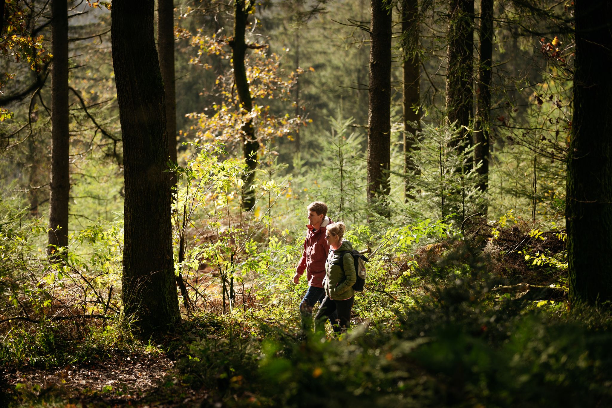
The region offers several excellent viewpoints. The Beutling Observation Tower provides a beautiful panoramic view after climbing 144 steps to its covered platform. Another popular spot is the Dissen telecommunications tower, which offers breathtaking views of the Teutoburg Forest from its 25-meter viewing platform. For views stretching towards Osnabrück, visit Hermannsturm on the Dörenberg, especially beautiful during sunset.
Are there family-friendly mountain hikes around Hilter?
Yes, the area around Hilter offers options suitable for families. The Dörenberg, for instance, is accessible via well-marked hiking trails and is considered suitable for families. The Beutling Observation Tower is also listed as family-friendly, though some trails leading to it can be steep. The general character of the Teutoburg Forest with its picturesque valleys and dense forests makes it an enjoyable destination for all ages.
What is the highest mountain peak directly within the municipality of Hilter?
The highest elevation specifically within the municipality of Hilter is Hohnangel, reaching 262 meters above sea level. It offers panoramic views of the surrounding Teutoburg Forest landscape.
What is the best time of year to hike the mountain peaks near Hilter?
The best seasons for hiking the mountain peaks around Hilter are spring and autumn. In spring, the meadows and forests are in full bloom, offering vibrant scenery. Autumn provides a picturesque backdrop of colorful foliage, making for stunning views and pleasant hiking conditions.
Are there any historical sites or natural monuments to see on the mountain peaks?
Yes, the Hankenüll is noted as a historical site and a natural monument, offering a blend of history and natural beauty. Additionally, the Schafberg, a popular hiking spot near Hilter, is home to an ancient oak known as 'Dicke Marie', which is a natural monument.
What kind of outdoor activities can I do near the mountain peaks around Hilter?
Beyond hiking, the region around Hilter offers diverse outdoor activities. You can explore numerous road cycling routes, challenging MTB trails, and various running trails. These routes often incorporate the scenic hilly terrain and forest paths of the Teutoburg Forest.
Which mountain peaks offer views of the city of Osnabrück?
From the summit of the Dörenberg, you can enjoy spectacular views stretching across the surrounding countryside all the way to the city of Osnabrück. The Hermannsturm on the Dörenberg specifically offers views over Georgsmarienhütte up to Osnabrück. The Grafensundern Forest Trail also provides magnificent views towards the north of Osnabrück and the Wiehengebirge.
Are there any challenging hikes for experienced hikers in the Hilter area?
While many trails are accessible, some routes leading to highlights like the Beutling Observation Tower are described as very steep. The ascent to Hankenüll, especially via the Noller gorge, is also noted as quite exhausting, particularly for mountain biking, suggesting a challenging climb for hikers as well.
What is the Dörenberg known for?
The Dörenberg is known as the highest mountain in the southern part of the Teutoburg Forest. It offers spectacular views that extend across the countryside to Osnabrück. Its summit is home to the Hermannsturm, a popular viewpoint, and it's accessible via well-marked hiking trails suitable for various skill levels.
Can I visit the Dissen telecommunications tower year-round?
Yes, the Dissen telecommunications tower is open and accessible year-round. It is located at 266 meters in the heart of the Teutoburg Forest and offers a panoramic view from its 25-meter viewing platform.
What makes the Grafensundern Forest Trail noteworthy?
The Grafensundern Forest Trail is a beautiful hiking path that leads to the Grafensundern, which at 314.9 meters, is the second highest mountain in the Iburg Forest. It offers magnificent views towards the north of Osnabrück and the Wiehengebirge, making it a rewarding experience for hikers.
Most popular attractions around Hilter

Get inspired with the komoot mobile app


Explore more
See even more amazing summits around Hilter with these guides:
