The best MTB trails around Hauroth
4.5
(1292)
3,322
riders
286
rides
Mountain bike trails around Hauroth are set within a diverse natural landscape characterized by rolling hills, picturesque vineyards, and extensive forests. The region is situated near the Moselle and Rhine Rivers, offering varied terrain for cycling. It is part of the broader Eifel landscape, featuring a mix of elevations suitable for mountain biking. This area provides a compelling destination for outdoor enthusiasts seeking varied routes.
Best mountain bike trails around Hauroth
- The most popular mountain bike trail is The Rausch…
Last updated: June 30, 2026
4.7
(45)
80
riders
40.2km
03:10
520m
520m
Hard mountain bike ride. Good fitness required. Advanced riding skills necessary. Some portions of the route may require you to push your bike.
4.6
(16)
61
riders
27.6km
02:00
440m
440m
Moderate mountain bike ride. Good fitness required. Advanced riding skills necessary.

Sign up for free
4.7
(17)
27
riders
Moderate mountain bike ride. Good fitness required. Advanced riding skills necessary.
4.8
(9)
33
riders
Moderate mountain bike ride. Good fitness required. Advanced riding skills necessary.
4.8
(6)
21
riders
41.9km
03:23
740m
740m
Moderate mountain bike ride. Good fitness required. Advanced riding skills necessary.
Get access to more routes and recommendations from other explorers.
Sign up for free
Already have an account?
Our route recommendations are based on thousands of hikes, rides, and runs completed by other people on komoot.
Start today with a free account
Your next adventure awaits.
Login or Signup
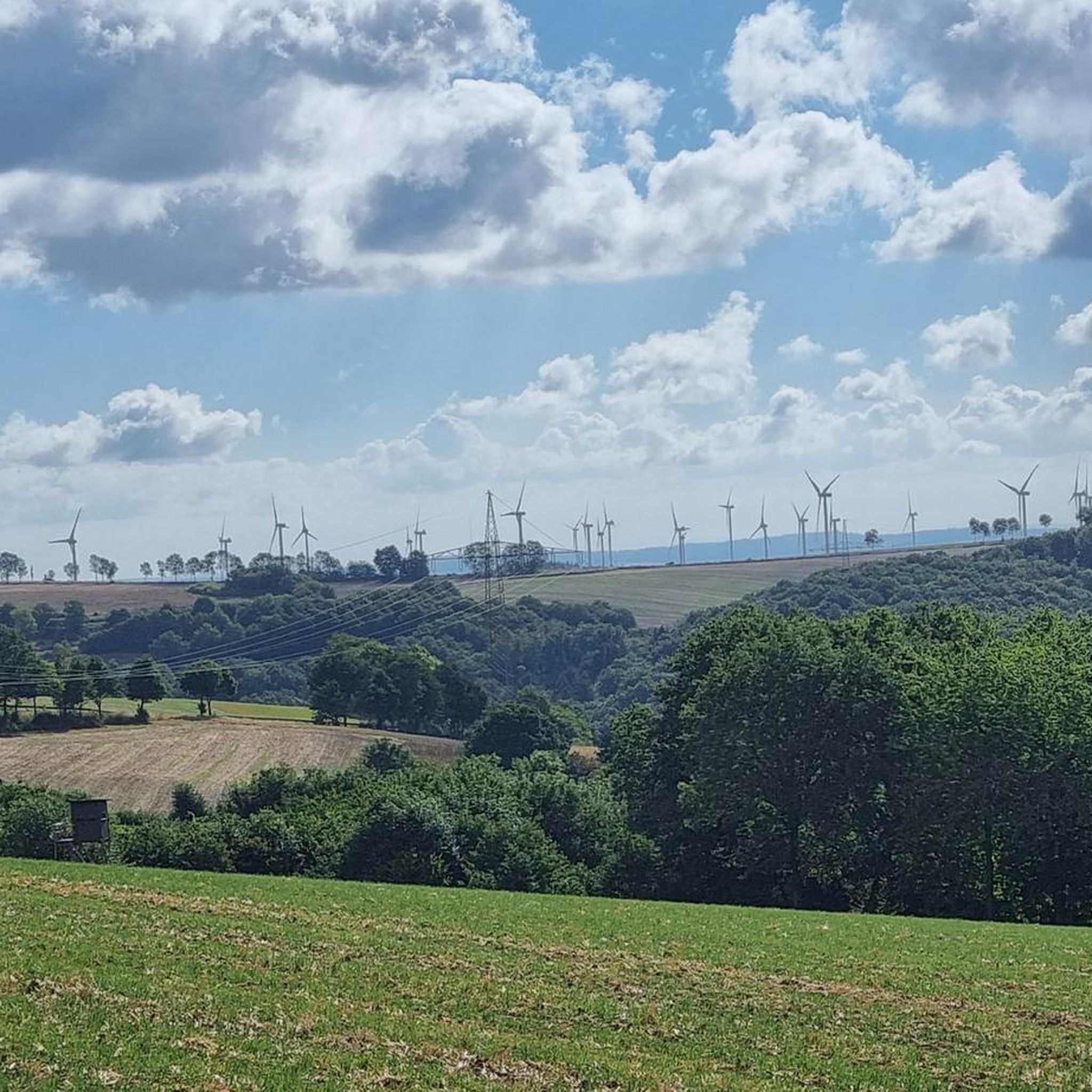
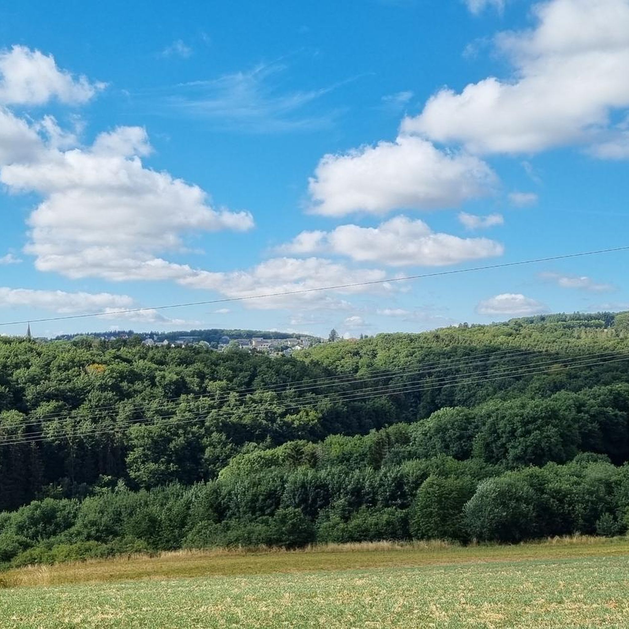
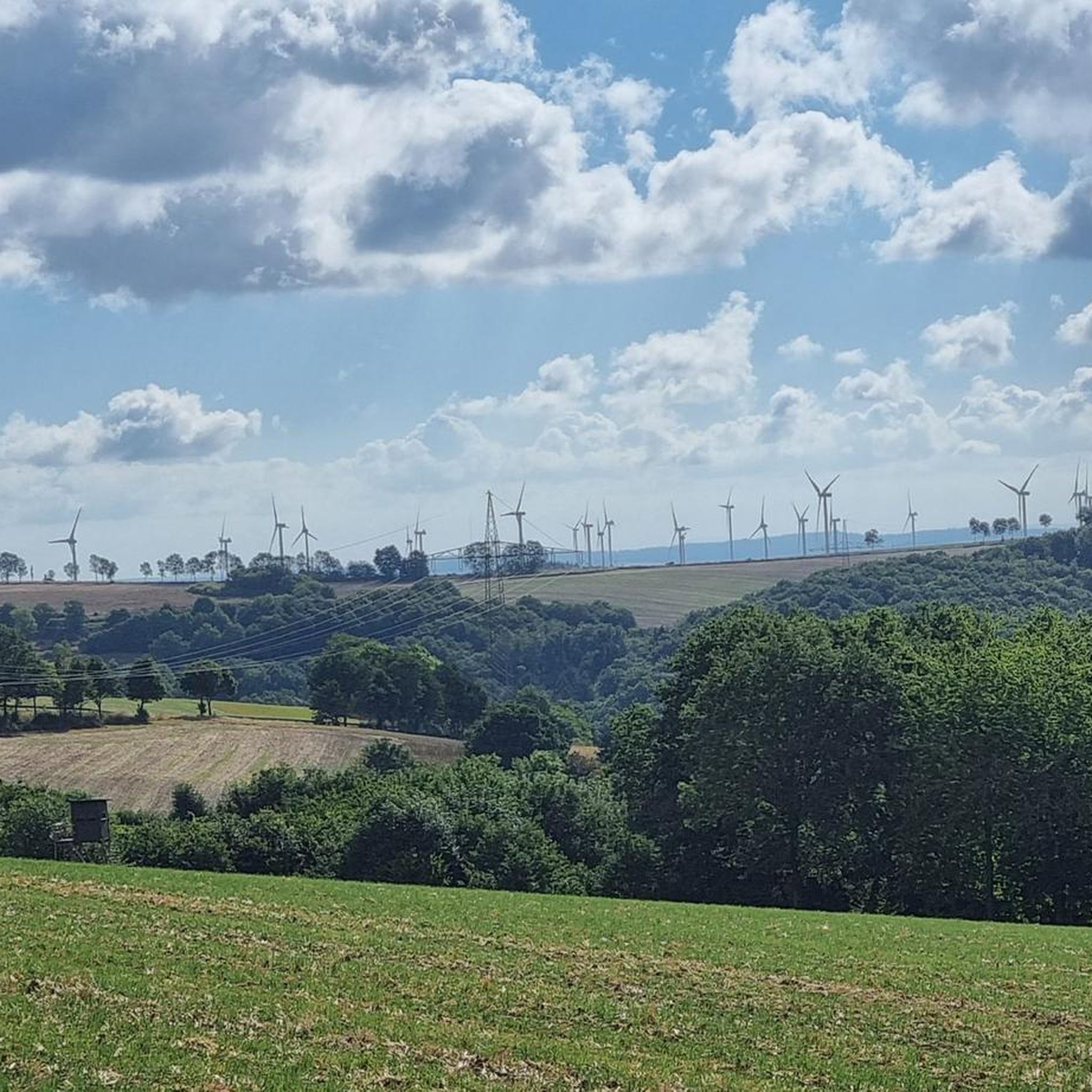

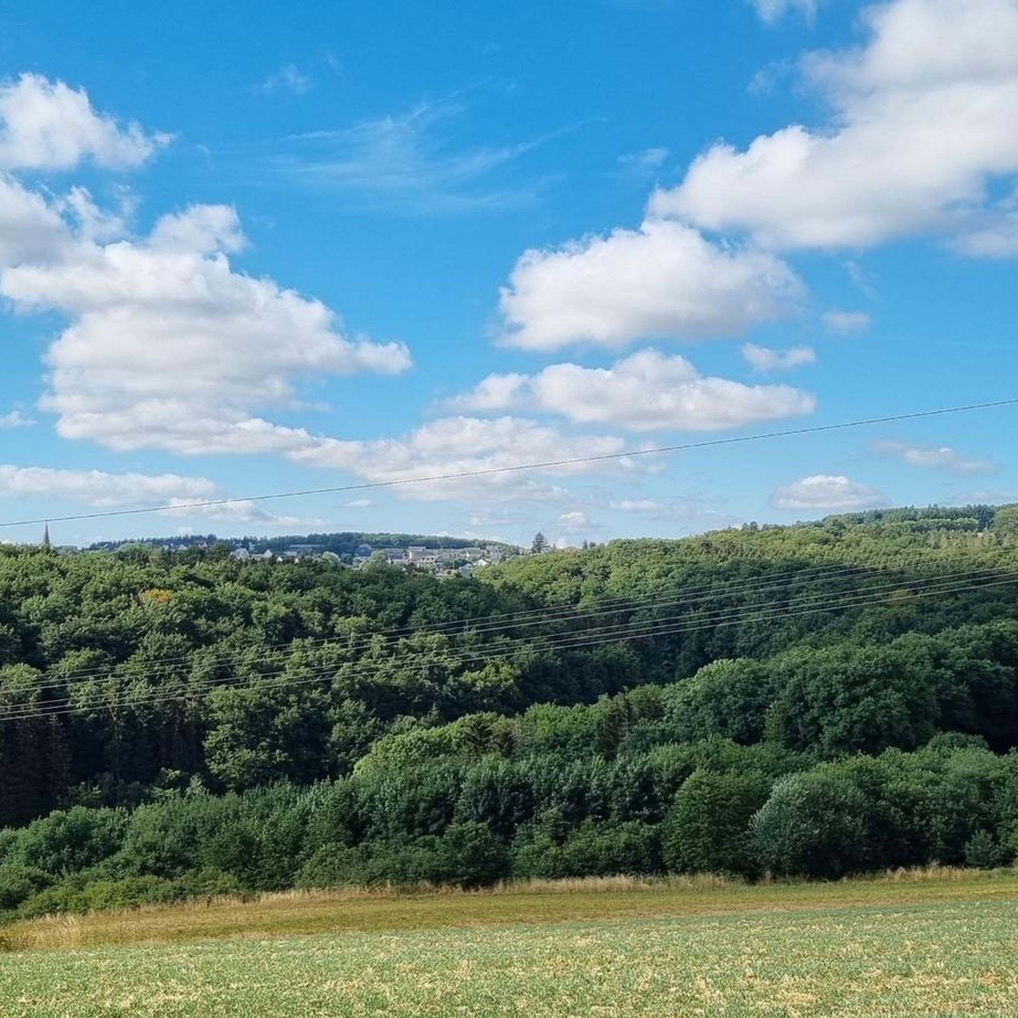
Tips from the Community

One of the most beautiful views in Monreal. In the foreground, you can see the upper castle bridge and the café Zum alten Pfarrhaus, the church Heiligste Dreifaltigkeit, and the overlying castle ruins Löwen- and Philippsburg, very picturesquely situated on the Elzbach. Wonderful!
2
0
The Stellwerk, a wine tavern and restaurant, has been located in the old train station in Monreal since 1992. Here, hearty, freshly prepared dishes and regional as well as international wines are offered in a cozy atmosphere.
2
0

What can I say, a very beautiful bridge, especially with nice paths ☀️👍🏽
1
0

The Ulmen Maar lies 420 meters above sea level today, covers an area of 5.5 hectares, and is 36 meters deep. The bubbles at the maar's edge demonstrate that volcanism is still active. They bear witness to a turbulent past—but rest assured, there's no eruption in sight! A wall of various rocks and ash, up to 20 meters thick, surrounds the cone. For those interested, these testimonies to this explosive past are beautifully displayed in St. Matthias Church. This unique wall, with its different colored layers and rounded inclusions, is worth seeing for more than just geologists. The slopes of the maar basin are covered with a beautiful forest, which can be explored on a circular walk. A detour to the medieval castle ruins, from which the Crusaders once launched their campaigns, is recommended. The view from the crater rim over the maar and the Eifel beyond will take your breath away. Whether after a sweaty hike or a long drive, the blue of the Ulmer Eifel lake is all too tempting in summer. However, bathing in the maar is prohibited because it is designated as a nature and water protection area.
6
0

It's a really beautiful lake
1
0
As Fränky already writes great restaurant can be recommended
2
0
Highly recommended. If you're looking for a quieter experience, it's best to go during the week. It's packed on weekends.
0
0

Frequently Asked Questions
How many mountain bike trails are available around Hauroth?
There are over 290 mountain bike routes in the Hauroth area, offering a wide range of options for different skill levels and preferences.
What kind of terrain can I expect on mountain bike trails around Hauroth?
The region around Hauroth features a diverse landscape with rolling hills, picturesque vineyards, and extensive forests. You'll encounter varied elevations characteristic of the Eifel region, providing both challenging climbs and enjoyable descents.
Are there mountain bike trails suitable for beginners in Hauroth?
Yes, Hauroth offers a good selection of trails for less experienced riders. There are over 50 easy mountain bike routes, allowing beginners to enjoy the scenic landscape at a comfortable pace.
What are some challenging mountain bike routes for experienced riders near Hauroth?
For experienced riders seeking a challenge, consider the Pommerbach Valley – Obermühle Near Urmersbach loop from Laubach. This difficult 14.88-mile (24.0 km) route features demanding ascents and descents through the Pommerbach Valley.
Can I find circular mountain bike routes in the Hauroth area?
Yes, many of the mountain bike routes around Hauroth are designed as loops, allowing you to start and finish at the same point. An example is the Rest Area An der Elz – Oberelz With Reutisch House loop from Bermel, a moderate 12.75-mile (20.5 km) trail.
What interesting natural sights or landmarks can I see while mountain biking near Hauroth?
While mountain biking, you can explore several natural and historical attractions. The Ulmener Maar, a natural volcanic lake, is nearby. You might also encounter the impressive The Rausch Waterfall or enjoy panoramic views from the Boos Eifel Observation Tower. The magnificent Eltz Castle is also within a few kilometers of Hauroth.
What do other mountain bikers say about the trails in Hauroth?
The mountain bike trails in Hauroth are highly rated by the komoot community, with an average score of 4.6 stars from over 1100 reviews. Riders often praise the varied terrain, from rolling hills and vineyards to dense forests, and the well-maintained paths suitable for different skill levels.
Is Hauroth a good destination for family-friendly mountain biking?
Hauroth can be a great destination for family-friendly mountain biking, especially given the availability of over 50 easy routes. The diverse landscape offers scenic rides that can be enjoyed by various age groups, though specific trail suitability for very young children may vary.
Are there any specific viewpoints or scenic spots along the mountain bike trails?
Yes, the region offers several scenic spots. The Boos Eifel Observation Tower provides fantastic panoramic views of the Eifel landscape. Additionally, the Calmont, Europe's steepest vineyard, offers breathtaking views of the Moselle valley, which can be a dramatic backdrop for your ride.
What is the best time of year to go mountain biking in Hauroth?
The best time to go mountain biking in Hauroth is typically during spring and summer. The weather is generally more favorable, allowing for comfortable rides through the vineyards and forests. Autumn also offers beautiful scenery with changing foliage.
Are there any trails that pass through nature reserves near Hauroth?
Yes, some trails lead through protected areas. For instance, the Bridge Over the Elz – Hochbermel Nature Reserve loop from Urmersbach is a moderate 22.39-mile (36.0 km) trail that takes you through the Hochbermel Nature Reserve, offering a chance to experience the local flora and fauna.
What are the typical distances and elevations for mountain bike trails in Hauroth?
Trail distances vary widely, from shorter easy loops to longer, more challenging routes. For example, a moderate trail like Bergkrone Mine Tunnel – View of Kötterichen loop from Kalenborn covers about 13.19 miles (21.2 km) with around 340 meters of elevation gain, while more difficult routes can have significantly more climbing.
Most popular attractions around Hauroth

Get inspired with the komoot mobile app


Explore more
Browse the best MTB trails in other regions.
