The best road cycling routes in Blumenau
48
riders
5
rides
Road cycling in Blumenau offers diverse terrain, from rolling hills and farmlands to wooded areas, providing varied backdrops for rides. The region features routes that traverse along rivers like the Itajaí-Açu and through scenic valleys. Cyclists can find both relatively flat sections and demanding climbs with significant elevation changes. Blumenau is also a gateway to the European Valley Circuit, a renowned cycling route covering approximately 300 km.
Best road cycling routes in Blumenau
- The most popular road cycling route is…
Last updated: July 10, 2026
11
riders
50.2km
02:09
340m
340m
Moderate road ride. Good fitness required. Mostly well-paved surfaces and easy to ride.
5
riders
47.3km
02:04
250m
250m
Moderate road ride. Good fitness required. Mostly well-paved surfaces and easy to ride.

Sign up for free
9
riders
66.1km
02:50
410m
410m
Moderate road ride. Good fitness required. Some segments of this route may be unpaved and difficult to ride.
6
riders
29.2km
01:18
270m
270m
Easy road ride. Great for any fitness level. Mostly well-paved surfaces and easy to ride.
2
riders
125km
05:30
1,030m
1,030m
Hard road ride. Very good fitness required. Mostly well-paved surfaces and easy to ride.
Our route recommendations are based on thousands of hikes, rides, and runs completed by other people on komoot.
Start today with a free account
Your next adventure awaits.
Login or Signup
Popular around Blumenau

Tips from the Community

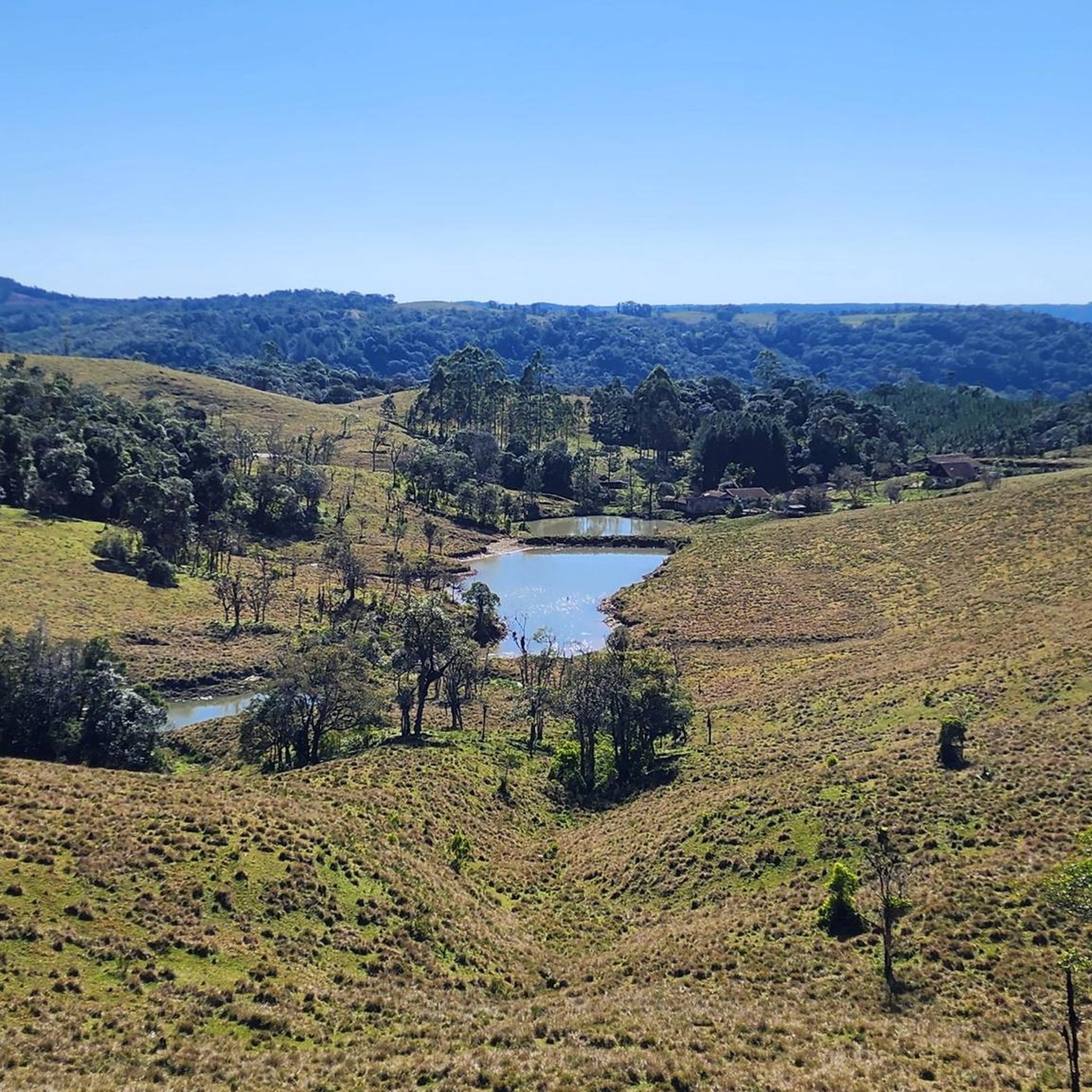
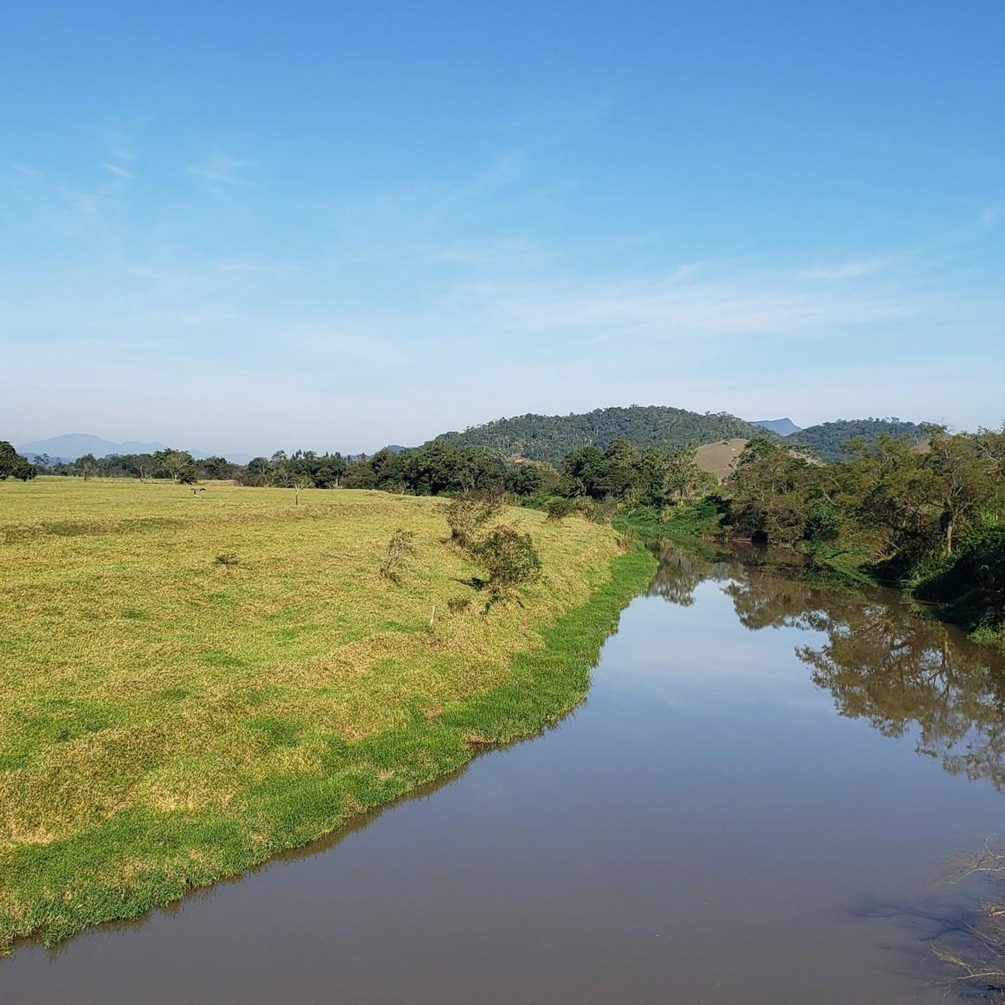
Beautiful view of the Rio dos Cedros river.
0
0
Frequently Asked Questions
What kind of terrain can I expect on road cycling routes in Blumenau?
Blumenau offers a diverse topography for road cycling, featuring rolling hills, farmlands, and wooded areas. Routes often traverse along rivers like the Itajaí-Açu and through scenic valleys. You'll find a mix of relatively flat sections and demanding climbs with significant elevation changes, catering to various fitness levels.
Are there any easy road cycling routes suitable for beginners or families in Blumenau?
Yes, Blumenau has options for easier rides. For instance, the Roadbike loop from Blumenau is an easy 29.2 km route with moderate elevation gain, perfect for a more relaxed experience. The region's network includes routes suitable for different ability levels, including those looking for less challenging terrain.
Are there any challenging road cycling routes for experienced riders in Blumenau?
Absolutely. For experienced cyclists seeking a challenge, the Mirante Claus Feldmann – Bosque Heinrich Feldmann loop from McDonald's is a difficult 124.6 km route with over 1000 meters of elevation gain, typically taking around 5 hours 30 minutes to complete. This route offers a significant test of endurance and climbing ability.
What are some scenic viewpoints or attractions along the road cycling routes in Blumenau?
Many routes offer beautiful scenery as they pass through river valleys and rural landscapes. You might encounter views like the Molha River Valley. The region also features charming German-influenced architecture in the city and tranquil natural beauty in the surrounding areas. The Tapyoka Restaurant and Waterfall is also a notable spot.
Is Blumenau part of a larger cycling network or circuit?
Yes, Blumenau is a key part of or a gateway to the European Valley Circuit (Circuito Vale Europeu). This renowned cycling tourism route covers approximately 300 km with a cumulative elevation gain of 5000m, passing through nine municipalities with German and Italian colonial characteristics. It is well-signaled, making navigation straightforward for cyclists.
What is the best time of year for road cycling in Blumenau?
Blumenau's climate allows for cycling throughout much of the year, but the best season generally avoids the peak of summer heat and heavy rains. Spring and autumn offer milder temperatures and pleasant conditions for exploring the region's diverse terrain. It's always a good idea to check the local weather forecast before heading out.
Are there any circular road cycling routes in Blumenau?
Yes, many of the road cycling routes in Blumenau are designed as loops, allowing you to start and end at the same point. Examples include the View of the Rio dos Cedros loop from Centro and the View of the Rio dos Cedros loop from Indaial, which offer scenic rides through river valleys and rural landscapes.
Are there places to eat or rest along the road cycling routes in Blumenau?
The region has cycling-friendly establishments. The Tapyoka Restaurant and Waterfall is highlighted as a meeting place for cyclists, indicating a supportive community and infrastructure. Many routes pass through or near towns where you can find cafes and restaurants to refuel and rest.
What is the elevation gain like on road cycling routes in Blumenau?
The elevation gain varies significantly across routes in Blumenau. You can find routes with moderate climbs, such as the View of the Rio dos Cedros loop from Centro with about 340 meters of ascent. For a more significant challenge, the Mirante Claus Feldmann – Bosque Heinrich Feldmann loop from McDonald's features over 1000 meters of elevation gain.
Can I combine road cycling with other outdoor activities in the Blumenau region?
Absolutely. The region offers diverse outdoor exploration opportunities. For example, Parque Ecológico Spitzkopf, just 20 km from downtown Blumenau, features a 914-meter-high hill with hiking trails, diverse wildlife, plant species, and waterfalls, which can complement a cycling trip with additional outdoor exploration.
How long do road cycling routes in Blumenau typically take to complete?
The duration of routes varies based on distance and difficulty. An easier route like the Roadbike loop from Blumenau (29.2 km) might take around 1 hour 20 minutes. Longer, more challenging routes, such as the Mirante Claus Feldmann – Bosque Heinrich Feldmann loop from McDonald's (124.6 km), can take up to 5 hours 30 minutes or more.
Are there any specific historical or cultural points of interest along the cycling routes?
While cycling, you can enjoy the charming German-influenced architecture in Blumenau itself. For specific historical sites, you might find attractions like the Carl Weege Immigrant House Museum in the broader region, offering a glimpse into the area's colonial past.
Most popular routes in Blumenau
Most popular attractions in Blumenau

Get inspired with the komoot mobile app


Explore more
Browse the best Road cycling routes in other regions.
