The best road cycling routes in Cuítiva
5.0
(58)
503
riders
10
rides
Road cycling in Cuítiva offers diverse routes across high-altitude landscapes in the Sugamuxi Province of Boyacá, Colombia. The region is situated on the Altiplano Cundiboyacense, with elevations ranging from 2,727 meters (8,947 ft) to 3,200 meters (10,500 ft), providing constant elevation changes and challenging climbs. Its mountainous topography and proximity to Lake Tota create varied cycling conditions and scenic vistas.
Best road cycling routes in Cuítiva
- The most popular road cycling route is El Guiol Grocery Store loop from Pesca…
Last updated: November 1, 2026
4.9
(20)
95
riders
49.2km
02:05
360m
360m
Moderate road ride. Good fitness required. Mostly well-paved surfaces and easy to ride.
5.0
(22)
80
riders
63.2km
03:43
1,020m
1,020m
Hard road ride. Very good fitness required. Some segments of this route may be unpaved and difficult to ride.

5.0
(2)
71
riders
79.9km
05:11
1,390m
1,390m
Hard road ride. Very good fitness required. Some segments of this route may be unpaved and difficult to ride.
5.0
(4)
64
riders
55.0km
03:20
580m
580m
Moderate road ride. Good fitness required. Some segments of this route may be unpaved and difficult to ride.
5.0
(1)
45
riders
57.5km
03:25
1,320m
1,320m
Hard road ride. Very good fitness required. Mostly well-paved surfaces and easy to ride.
Get access to more routes and recommendations from other explorers.
Already have an account?
Our route recommendations are based on thousands of hikes, rides, and runs completed by other people on komoot.
Tips from the Community

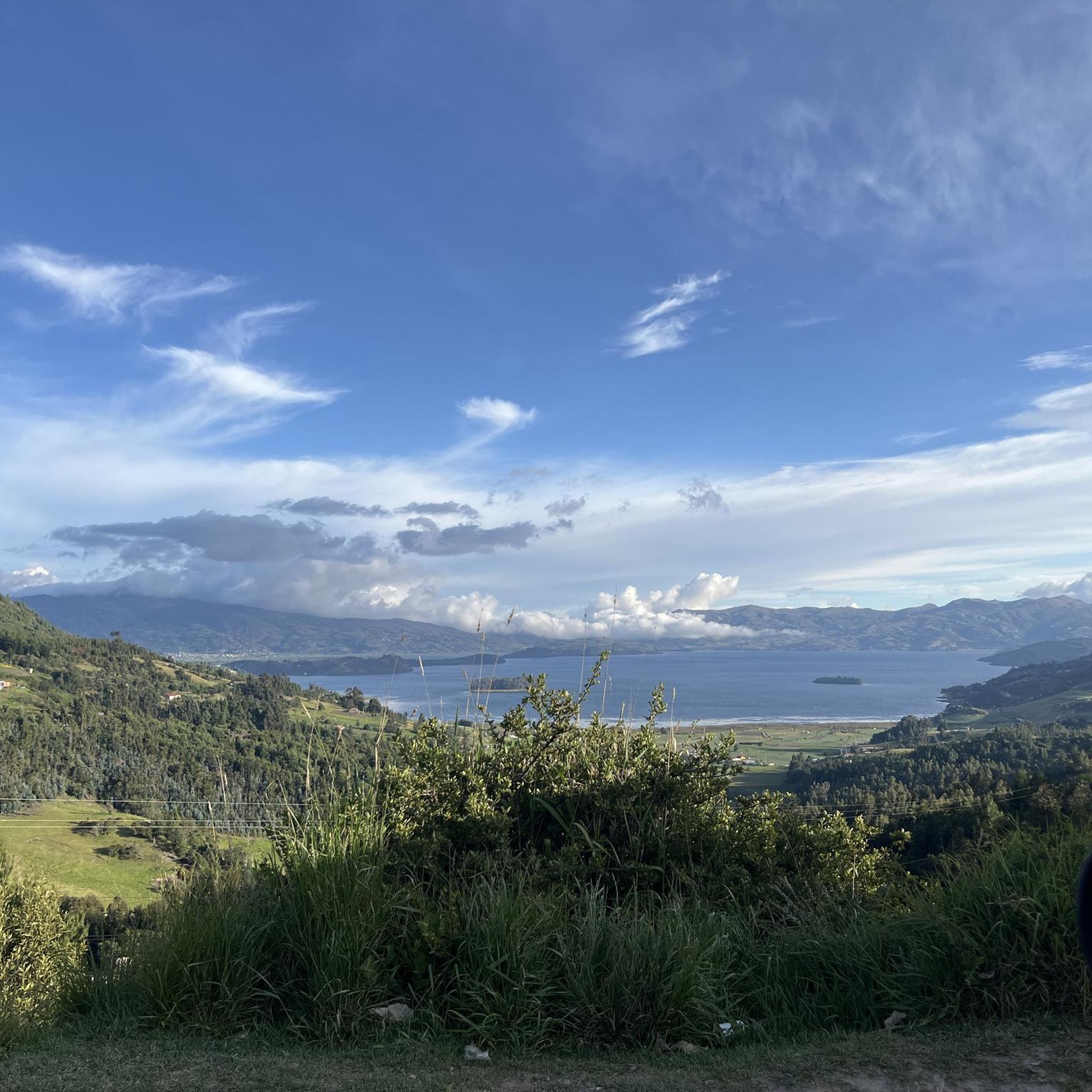
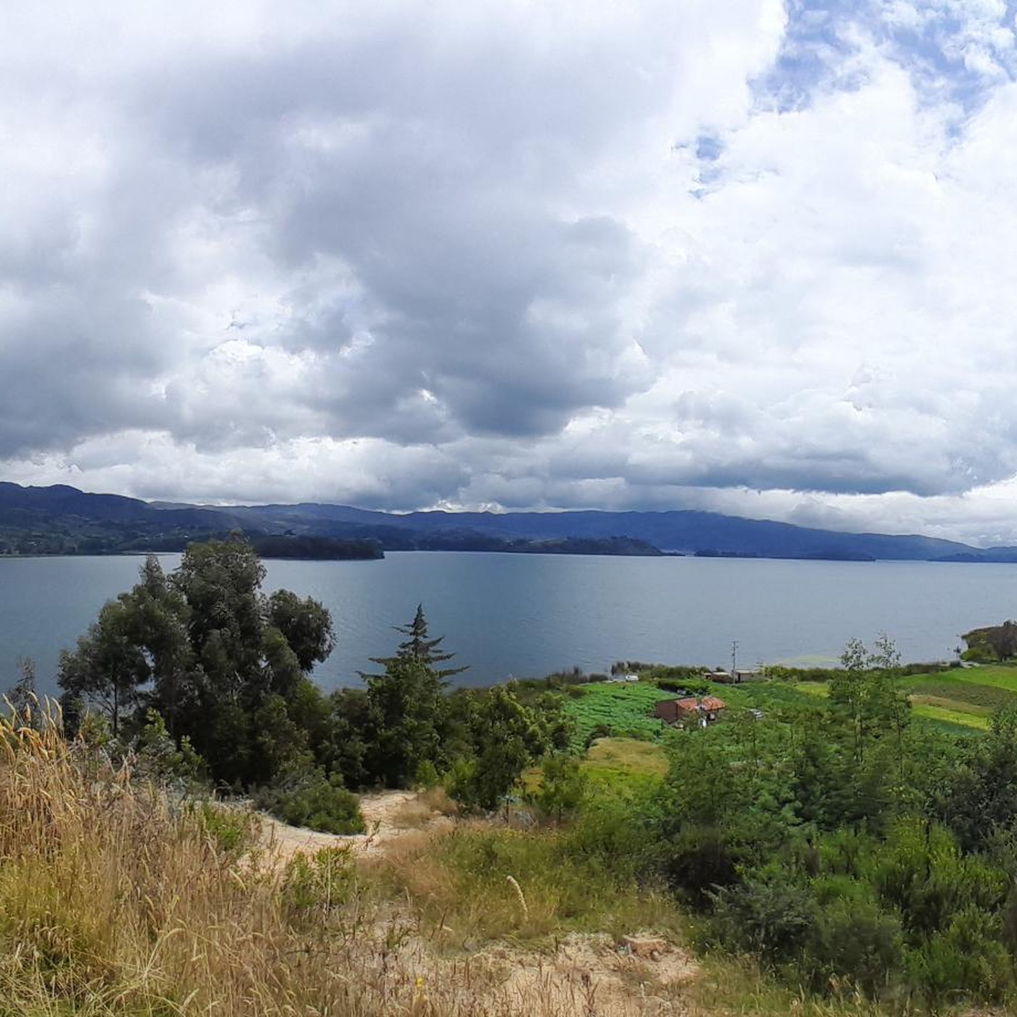
Beautiful panoramic view of the Tota lagoon. Lake located at 3000 meters above sea level.
0
0
Meeting point to go out by bike
0
0
Grocery store. Excellent attention. Special for thirsty cyclists coming down from Torá Lagoon
0
0
Mythical port very visited by road and mountain cyclists. Elevation of 2900 meters above sea level. Completely paved section from Firavitoba. From Paipa there are still some segments to be paved.
1
0


This climb starts in Sogamoso and will take you to Tota Lake (unless you want to take the other way) the segment is about 16km at 5%.
0
0
Frequently Asked Questions
What kind of terrain and elevation can I expect on road cycling routes in Cuítiva?
Cuítiva is situated on the Altiplano Cundiboyacense at a high altitude, with elevations ranging from 2,727 meters (8,947 ft) to 3,200 meters (10,500 ft). This means you can expect significant elevation changes, challenging climbs, and descents, making it ideal for cyclists seeking an invigorating experience. The mountainous topography and proximity to Lake Tota provide diverse and scenic cycling conditions.
Are there road cycling routes in Cuítiva suitable for different fitness levels?
Yes, Cuítiva offers a variety of road cycling routes catering to different abilities. You'll find options ranging from easy to difficult. For example, routes like El Guiol Grocery Store loop from Pesca are considered moderate, while others like Lake Tota – Alto del Crucero loop from Iza are more challenging with significant elevation gains.
What natural features or landmarks can I see while road cycling in Cuítiva?
Road cycling in Cuítiva offers stunning views of natural features and landmarks. You can expect to ride alongside the magnificent Lake Tota, Colombia's largest and highest-altitude lake. Many routes also feature climbs to viewpoints like Alto del Crucero, offering expansive vistas of the surrounding mountainous landscape. The region also provides access to unique high-altitude páramos ecosystems.
Are there many circular road cycling routes available in Cuítiva?
Yes, the road cycling routes in Cuítiva are predominantly circular loops, allowing you to start and finish at the same point. Examples include the Alto del Crucero – Lake Tota loop from Iza and the El Guiol Grocery Store – Alto de Curies loop from Iza, which are popular choices among local cyclists.
What do other road cyclists enjoy most about road cycling in Cuítiva?
The road cycling experience in Cuítiva is highly rated by the komoot community, with an average score of 4.97 stars from over 50 reviews. Cyclists often praise the region's high-altitude landscapes, the challenging yet rewarding climbs, and the breathtaking views, especially around Lake Tota. The diverse terrain and serene environment contribute to a memorable cycling adventure.
When is the best time of year for road cycling in Cuítiva?
Given Cuítiva's high-altitude location on the Altiplano Cundiboyacense, weather conditions can vary. Generally, the drier seasons are preferred for road cycling in the Colombian Andes, offering more predictable weather and clearer skies. However, due to the elevation, be prepared for cooler temperatures, especially in the mornings and evenings, and potential for sudden weather changes regardless of the season.
Are there any places to stop for refreshments or a break along the road cycling routes?
While specific cafes directly on every route might vary, the region has small towns and rural areas where you can find local establishments. For instance, the Cyclists' Stop in Pesca is a known spot. Cuítiva itself offers a quiet, rural charm, and you can find places to rest and refuel in the town or nearby villages like Iza and Pesca, which are common starting points for routes.
What are the typical distances and durations for road cycling routes in Cuítiva?
The road cycling routes in Cuítiva vary in length and duration depending on their difficulty and elevation profile. You can find routes ranging from approximately 30 miles (49 km) like the El Guiol Grocery Store loop from Pesca, which takes around 2 hours, to longer and more demanding options such as the Lake Tota – Alto del Crucero loop from Hotel Decameron - Refugio Santa Ines, covering about 35 miles (57 km) and taking over 3 hours due to significant climbs.
Is Cuítiva a good base for exploring other cycling areas in Boyacá?
Absolutely. Cuítiva's location in the Sugamuxi Province of Boyacá makes it an excellent base. Boyacá is renowned in Colombia for its cycling routes, offering diverse road cycling adventures across its mountainous regions. From Cuítiva, you have access to challenging mountain roads and the picturesque Lake Tota, allowing you to explore a wider network of routes in the department.
Are there any unique natural attractions near Cuítiva that I can visit after a ride?
Beyond the cycling routes, Cuítiva and its surroundings offer unique natural attractions. You can explore the stunning páramos, which are high-altitude ecosystems unique to the Andes. The presence of natural thermal hot springs in the region also provides a relaxing way to unwind and recover after a demanding ride, adding a therapeutic element to your trip.
What is the general condition of the roads for cycling in Cuítiva and Boyacá?
In the Boyacá department, where Cuítiva is located, many road cycling routes feature mostly well-paved surfaces. While specific conditions can vary, the region is known for its cycling infrastructure, catering to various fitness levels. However, as with any mountainous region, be prepared for potential variations in road quality, especially on less-traveled rural roads.
Most popular routes in Cuítiva
Most popular attractions in Cuítiva

Get inspired with the komoot mobile app


Explore more
Browse the best Road cycling routes in other regions.
