The best road cycling routes in Gachantivá
4.9
(50)
732
riders
19
rides
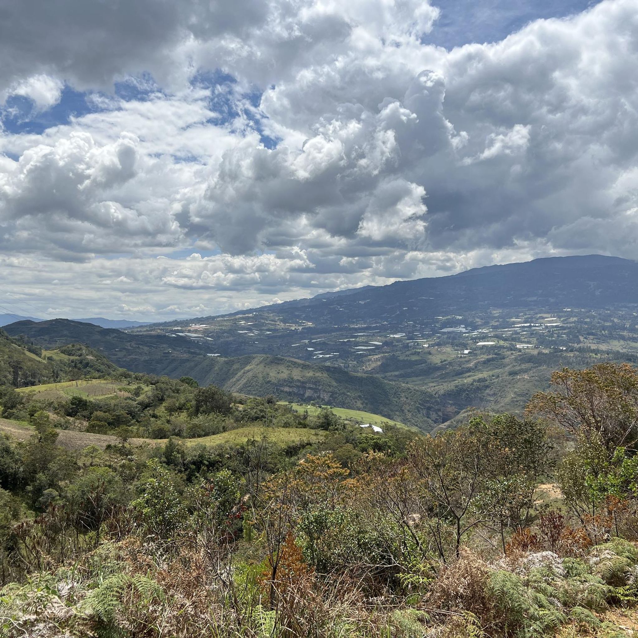
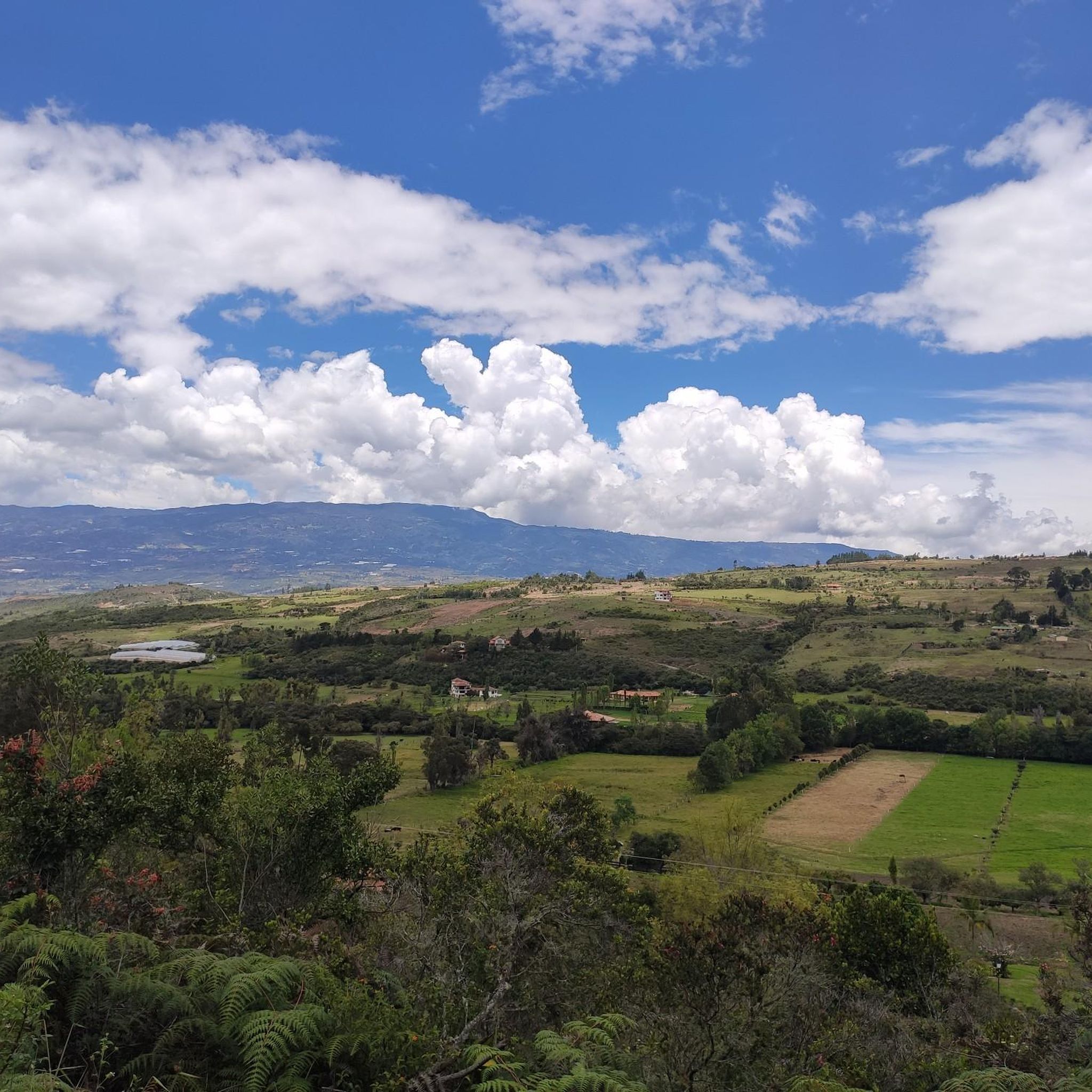
Road cycling in Gachantivá, Colombia, is characterized by diverse terrain and impressive mountain landscapes within the Altiplano Boyacense. The region offers a mix of paved, gravel, and dirt roads, providing varied experiences for cyclists. Routes often feature significant elevation gains, traversing rural areas and agricultural landscapes. This area is known for its natural beauty and cultural heritage, making it suitable for outdoor activities amidst abundant flora and fauna.
Best road cycling routes in Gachantivá
- The most popular road cycling route…
Last updated: November 1, 2026
100
riders
139km
07:33
2,780m
2,780m
Hard road ride. Very good fitness required. Some segments of this route may be unpaved and difficult to ride.
5.0
(5)
104
riders
79.8km
04:10
1,440m
1,440m
Hard road ride. Very good fitness required. Mostly well-paved surfaces and easy to ride.

73
riders
40.6km
01:59
560m
560m
Moderate road ride. Good fitness required. Mostly well-paved surfaces and easy to ride.
5.0
(2)
30
riders
55.2km
02:52
940m
940m
Hard road ride. Very good fitness required. Mostly well-paved surfaces and easy to ride.
34
riders
55.4km
02:45
860m
860m
Moderate road ride. Good fitness required. Mostly well-paved surfaces and easy to ride.
Get access to more routes and recommendations from other explorers.
Already have an account?
Our route recommendations are based on thousands of hikes, rides, and runs completed by other people on komoot.


Tips from the Community

Good start, ideally choose a day with good weather and little truck traffic, because between the dual carriageway and Samacá, the road narrows. Nice landscapes, and a VERY pedalable slope.
0
0

This is where you can really see the changing tone of the mountains and its elevation drops to 2000 meters above sea level, it is the descent from the toll to Sachica, the municipality near Villa de Leyva, farmland, vineyards and clay for the manufacture of materials and clay pottery.
0
0


great climb towards Chiquinquirá. continuous slope. another option not to do the classic to Raquira from Villa de Leyva
0
0
Frequently Asked Questions
What kind of terrain can I expect on road cycling routes in Gachantivá?
Gachantivá, nestled in the Altiplano Boyacense, offers diverse terrain for road cycling. You'll encounter a mix of paved, gravel, and dirt roads, providing varied experiences. Routes often feature significant elevation gains, traversing rural areas and agricultural landscapes, with breathtaking mountain views.
Are there routes suitable for different fitness levels?
Yes, Gachantivá caters to various fitness levels, though many routes involve considerable elevation changes. The guide features 5 moderate and 15 difficult routes. For example, the Alto El Espino loop from Villa de Leyva is a moderate option, while routes like Descent from Samacá to Sáchica – Alto de Sote loop from Villa de Leyva are more challenging with extensive climbs.
What natural features or landmarks can I see along the cycling routes?
The region is rich in natural beauty and cultural heritage. You can explore impressive mountain landscapes and natural water features. While cycling, you might pass by points of interest such as the historic Plaza Mayor of Villa de Leyva or the charming town of Villa de Leyva itself, which is often a starting point for many routes.
What do other road cyclists enjoy most about cycling in Gachantivá?
The road cycling routes in Gachantivá are highly rated by the komoot community, with an average score of 4.9 stars from over 50 reviews. Cyclists often praise the impressive mountain landscapes, the varied road surfaces that offer a mix of challenge and adventure, and the opportunity to experience rural life amidst abundant flora and fauna.
Are there any loop routes available for road cycling?
Yes, many road cycling routes in Gachantivá are designed as loops, offering a convenient way to start and end your ride in the same location. Examples include the challenging Descent from Samacá to Sáchica – Alto de Sote loop from Villa de Leyva and the moderate Alto El Espino loop from Villa de Leyva.
What is the best time of year for road cycling in Gachantivá?
Gachantivá's climate, typical of the Altiplano Boyacense, generally offers pleasant conditions. While specific seasonal recommendations depend on personal preference for temperature and rainfall, the region is known for its natural beauty year-round. It's advisable to check local weather forecasts closer to your planned trip for optimal conditions.
Can I find cafes or accommodation suitable for cyclists in Gachantivá or nearby?
While Gachantivá is a smaller municipality, the broader Boyacá department, especially towns like Villa de Leyva (a common starting point for routes), is well-equipped for tourists. You can expect to find various cafes, restaurants, and accommodation options that cater to visitors, including cyclists, in these more established tourist centers.
How many road cycling routes are there in Gachantivá?
There are 20 road cycling routes available in Gachantivá on komoot, offering a wide range of distances and difficulties to explore the region's diverse landscapes.
Are there any routes that pass through agricultural areas or offer insights into rural life?
Many routes in Gachantivá traverse rural areas and agricultural landscapes, providing a unique glimpse into local life. The region is known as the 'Capital de la Mora del Oriente Colombiano' (Eastern Colombian Blackberry Capital), suggesting pleasant rides through agricultural fields and charming rural settings.
What are some of the longer, more challenging road cycling routes in the area?
For experienced cyclists seeking a challenge, routes like the Descent from Samacá to Sáchica – Alto de Sote loop from Villa de Leyva, spanning 85.5 miles (137.7 km) with significant elevation, or the La Cabrera Hill – Colina Arboledas loop from Villa de Leyva, at 88.4 miles (142.3 km), offer extensive climbs and descents through varied terrain.
Is it possible to combine cycling with exploring cultural sites?
Absolutely. Gachantivá and its surroundings offer cultural and historical sites that can enrich your cycling trip. You can visit the Parish Temple, the House of Culture, or the central park in Gachantivá. Nearby Villa de Leyva also boasts historical buildings and attractions like the Matarredonda Bridge, which can be integrated into your itinerary.
Most popular attractions in Gachantivá

Get inspired with the komoot mobile app


Explore more
Browse the best Road cycling routes in other regions.
