The best road cycling routes in Motavita
4.5
(78)
1,250
riders
34
rides
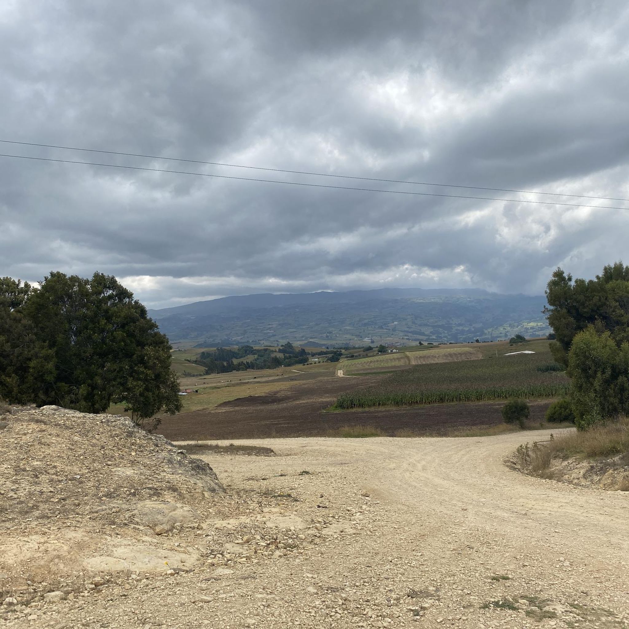
Road cycling in Motavita, situated at an elevation of 2,690 meters (8,830 feet) in the Boyacá Department of Colombia, offers routes characterized by significant elevation gains and diverse Andean landscapes. The region's terrain includes winding roads through agricultural lands and hills, providing a challenging environment for cyclists. Motavita's proximity to Tunja, the capital of Boyacá, allows access to a network of roads that traverse varied topography.
Best road cycling routes in Motavita
- The most popular road cycling route is El…
Last updated: November 1, 2026
4.6
(14)
100
riders
47.7km
02:15
530m
530m
Moderate road ride. Good fitness required. Mostly well-paved surfaces and easy to ride.
4.5
(2)
69
riders
61.4km
03:00
880m
880m
Moderate road ride. Good fitness required. Mostly well-paved surfaces and easy to ride.

4.5
(6)
59
riders
58.8km
03:10
1,030m
1,030m
Hard road ride. Very good fitness required. Some segments of this route may be unpaved and difficult to ride.
4.1
(13)
68
riders
32.5km
01:26
310m
310m
Moderate road ride. Good fitness required. Mostly well-paved surfaces and easy to ride.
5.0
(3)
57
riders
70.4km
03:39
1,210m
1,210m
Hard road ride. Very good fitness required. Mostly well-paved surfaces and easy to ride.
Get access to more routes and recommendations from other explorers.
Already have an account?
Our route recommendations are based on thousands of hikes, rides, and runs completed by other people on komoot.



Tips from the Community

A place of passage, the store and the restaurant seem a bit expensive to me. Just for reference point, 5 photos and on.
0
0


Emblematic tourist site where one of the battles of Simón Bolívar was fought. You have to go down and visit it, free to the public.
0
0


How can you enter the velodrome?
0
0

Frequently Asked Questions
How many road cycling routes are available in Motavita?
Motavita and its surrounding area offer over 35 road cycling routes, catering to various skill levels. You'll find a good mix of moderate and challenging ascents through the Andean landscapes.
What is the typical difficulty level for road cycling routes in Motavita?
Road cycling in Motavita is characterized by significant elevation gains due to its high-altitude Andean setting. Most routes are classified as moderate or difficult, providing a rewarding challenge for cyclists. For example, the La Cumbre Ascent via Sámaca – Puerto 1 loop from Tunja is a difficult 41.8-mile path known for substantial ascents.
What kind of terrain can I expect on Motavita's road cycling routes?
The terrain around Motavita features diverse Andean landscapes, including winding roads through agricultural lands and hills. Cyclists can expect well-paved roads in some sections, with the possibility of more challenging unpaved segments depending on the specific route. The routes offer panoramic views of mountains, valleys, and agricultural fields.
Are there any beginner-friendly road cycling routes in Motavita?
While many routes involve significant climbs, there are a few easier options available. Approximately 4 routes are classified as easy, allowing less experienced cyclists to enjoy the scenic beauty of the region without overly strenuous efforts. These routes still offer a taste of the Andean environment.
What landmarks or scenic viewpoints can I find along the road cycling routes?
Many routes offer breathtaking vistas of the Andean mountains and agricultural valleys. You might pass through rural villages and agricultural areas, experiencing the local charm. The Alto de Sote – Nairo Quintana Monument loop from Tunja, for instance, leads through agricultural areas and past local landmarks, including a monument dedicated to the famous Colombian cyclist Nairo Quintana.
What is the best time of year to go road cycling in Motavita?
Motavita's high-altitude climate means temperatures are generally mild year-round, but weather can be variable. The region experiences distinct wet and dry seasons. For the most comfortable cycling conditions, consider visiting during the drier months, typically December to March and July to August, when you're more likely to have clear skies and less rain.
Is parking available for cyclists near the starting points of routes?
As Motavita is a smaller municipality, specific dedicated cycling parking facilities might be limited. However, given its proximity to Tunja, you can often find parking in Tunja or in the central areas of Motavita, especially if starting a loop route from the town. Always check local regulations for parking availability.
Can I reach Motavita's cycling routes using public transport?
Motavita is well-connected to Tunja, the capital of Boyacá, by local bus services. While bringing a bike on public transport can sometimes be challenging depending on the bus type and operator, it is often possible for shorter distances. From Tunja, you can easily access routes that start or pass through Motavita.
Are there any circular road cycling routes starting from or near Motavita?
Yes, many of the road cycling routes in the area are designed as loops, allowing you to start and finish in the same location. Examples include the moderate El Barne Roundabout – Puerto 1 loop from Tunja, which is a popular 30.1-mile circuit.
What do other road cyclists say about cycling in Motavita?
The road cycling routes in Motavita are highly rated by the komoot community, with an average score of 4.4 stars from nearly 60 reviews. Cyclists often praise the challenging climbs, the stunning Andean scenery, and the rewarding sense of accomplishment after tackling the high-altitude terrain.
Are there any cafes or restaurants near the cycling routes in Motavita?
Motavita, being a rural town, offers local eateries and cafes where you can refuel. Given its agricultural economy, you can expect authentic local cuisine. For a wider selection, the nearby city of Tunja, just 8.5 kilometers away, provides numerous options for cafes, restaurants, and accommodation.
What is the elevation gain like on Motavita's road cycling routes?
Due to Motavita's high-altitude location in the Andes, significant elevation gains are a defining characteristic of its road cycling routes. For instance, the difficult Puente de Boyacá – Tunja Velodrome loop from Tunja involves over 1,000 meters of ascent, providing a substantial climbing challenge.
Most popular attractions in Motavita

Get inspired with the komoot mobile app


Explore more
Browse the best Road cycling routes in other regions.
