The best MTB trails in Zipaquirá
4.7
(46)
249
riders
14
rides
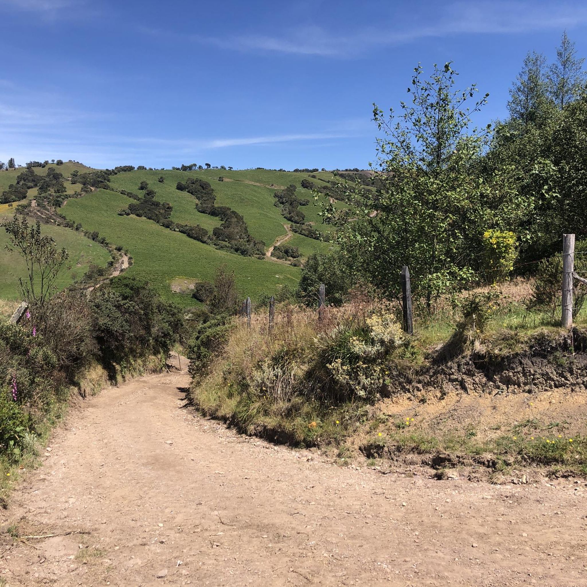
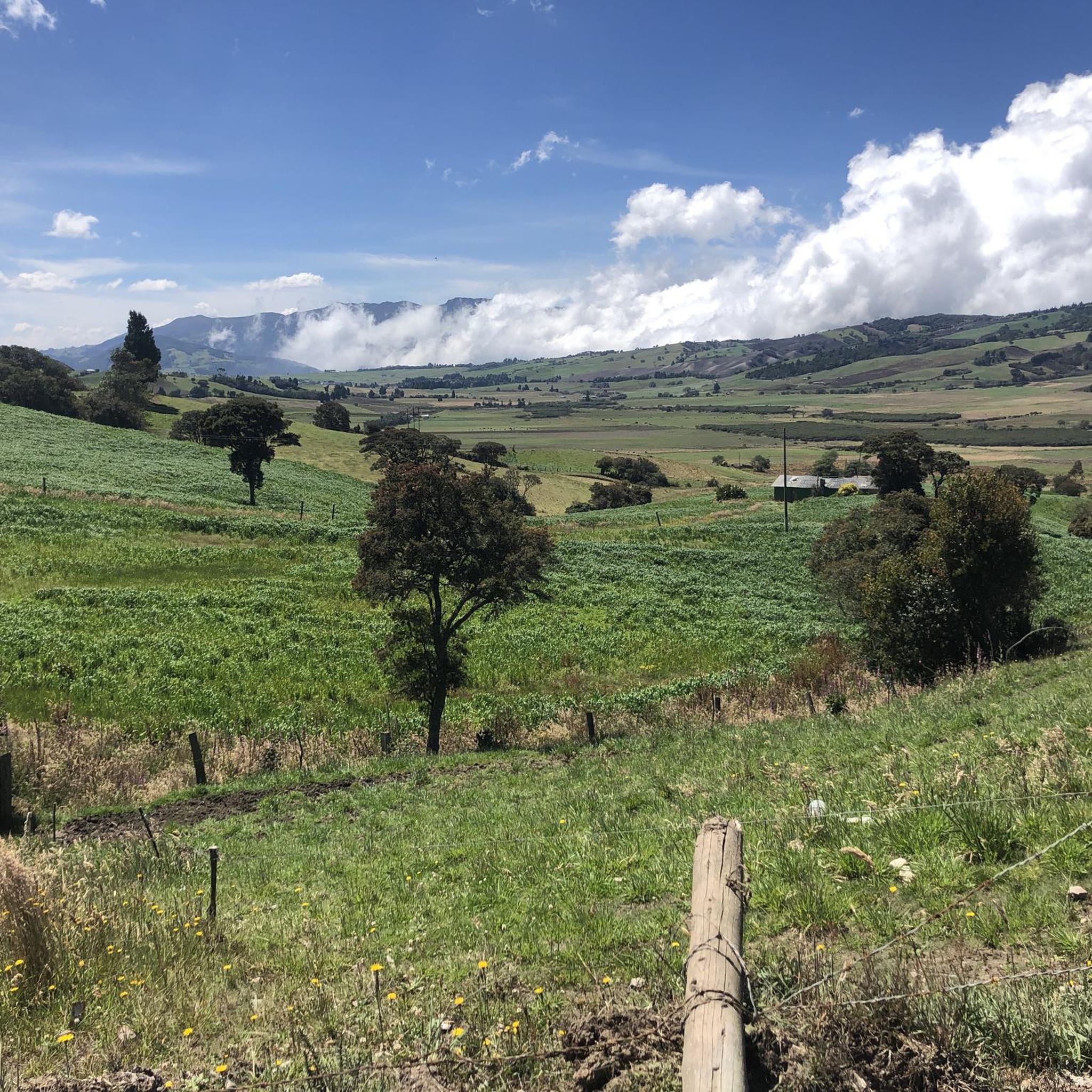
Mountain biking in Zipaquirá offers diverse landscapes within the Altiplano Cundiboyacense, part of the Eastern Cordillera of the Andes. The region features mountainous terrain with significant elevation changes, providing challenging and scenic rides. Riders can expect varied environments, from high-altitude paths at an average of 2,640 meters (8,660 ft) to unique desert-like landscapes nearby. This area is known for its natural features and has hosted national mountain biking competitions.
Best mountain bike trails in Zipaquirá
- The most popular mountain bike…
Last updated: August 22, 2026
4.9
(7)
68
riders
52.1km
02:55
330m
330m
Moderate mountain bike ride. Good fitness required. Suitable for all skill levels.
4.9
(14)
36
riders
63.1km
04:20
950m
950m
Hard mountain bike ride. Very good fitness required. Suitable for all skill levels.

Sign up for free
4.5
(2)
25
riders
98.6km
07:48
1,980m
1,980m
Hard mountain bike ride. Very good fitness required. Suitable for all skill levels.
4.2
(5)
25
riders
29.5km
01:59
480m
480m
Moderate mountain bike ride. Good fitness required. Suitable for all skill levels.
4.4
(7)
16
riders
38.3km
02:57
940m
940m
Hard mountain bike ride. Very good fitness required. Suitable for all skill levels.
Get access to more routes and recommendations from other explorers.
Sign up for free
Already have an account?
Our route recommendations are based on thousands of hikes, rides, and runs completed by other people on komoot.
Start today with a free account
Your next adventure awaits.
Login or Signup
Tips from the Community


Excellent place, a bike ride through the Zipaquira salt cathedral... if you go from Bogotá you should leave with time... from Usme cycling between 25 to 28 km/h with 2 stops, it took us 3 hours and 20 minutes...
0
0


Go up in good physical condition and willing to take on any type of terrain.
1
0

Old train station where there is a big train station especially on weekends when the tourist pays his respects.
0
0


Suffer going up and only joy when you arrive.
0
0

technical ascent is gauge when the footprint plate begins it is called the screw
0
0
Frequently Asked Questions
How many mountain bike trails are available in Zipaquirá?
Zipaquirá is a recognized hub for cycling, offering a wide network of routes. There are over 190 documented mountain bike routes in the area, with 15 specific trails detailed in this guide, catering to various skill levels.
What are the typical difficulty levels for mountain bike trails in Zipaquirá?
The mountain bike trails in Zipaquirá range from moderate to difficult. This guide features 9 moderate routes and 6 difficult routes, often involving significant elevation gains due to the mountainous terrain.
What kind of terrain can I expect on mountain bike trails in Zipaquirá?
Riders can expect diverse terrain, from mountainous paths within the Eastern Cordillera of the Andes to unique desert-like landscapes. The average altitude is 2,640 meters (8,660 ft), contributing to challenging and scenic rides.
Are there any circular mountain bike routes in Zipaquirá?
Yes, many mountain bike routes in Zipaquirá are loops. For example, the Cajicá–Yerbabuena – Alto de San Jorge loop and the Alto de San Jorge – Alto de San Jorge loop are popular options that bring you back to your starting point.
What landmarks or natural features can I see while mountain biking in Zipaquirá?
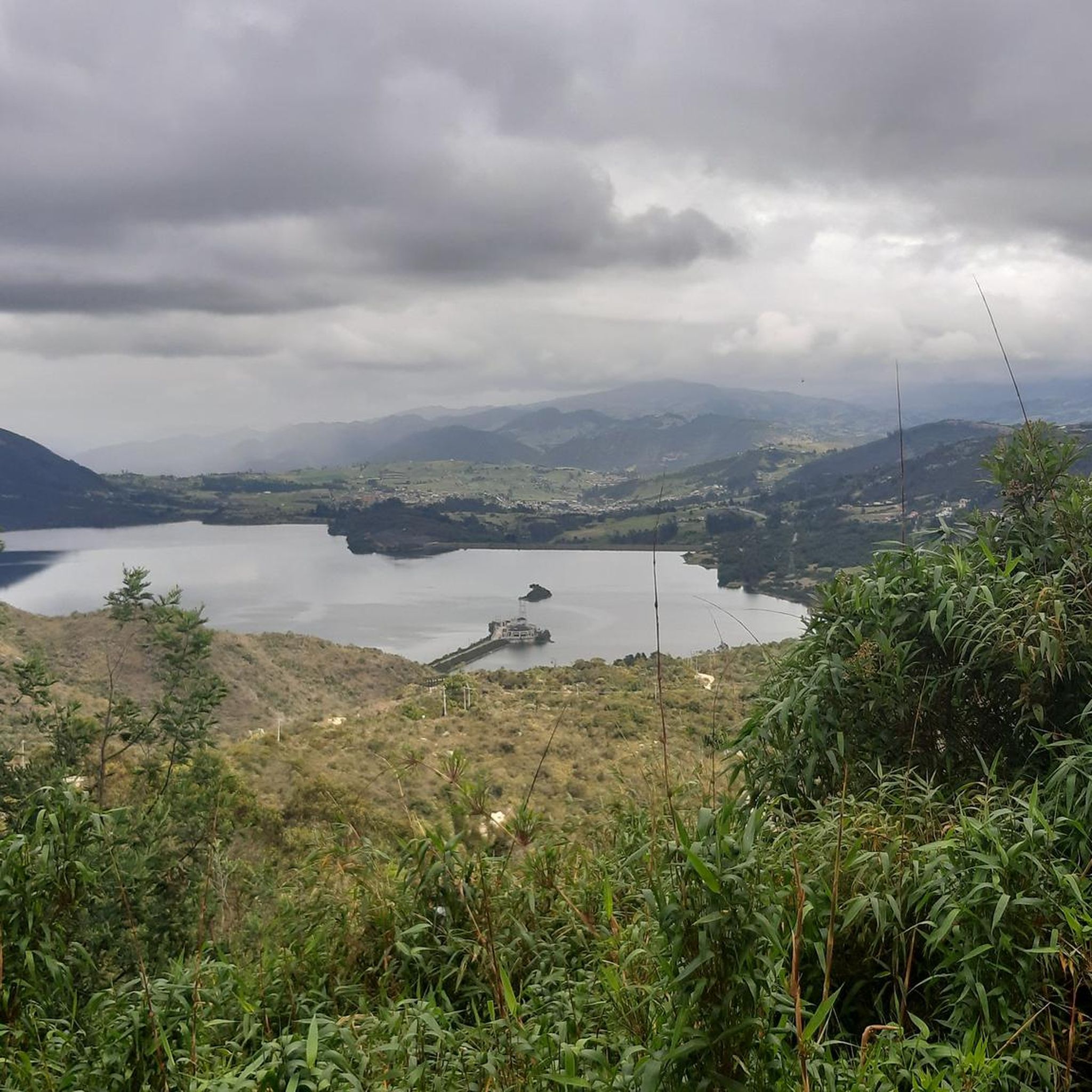
Beyond the trails, you can encounter several notable features. The iconic Salt Cathedral is a significant landmark. Natural attractions include the Embalse de Neusa and the unique 'Desierto de la Tatacoita' (Desierto de Checua). Along the routes, you might pass viewpoints like Neusa Viewpoint / Alto del Borracho or challenging climbs such as Alto de Canicas and Patiguapos Climb (San Jorge).
What is the best time of year to go mountain biking in Zipaquirá?
Zipaquirá's average altitude of 2,640 meters (8,660 ft) above sea level ensures a consistently cool climate throughout the year, making for pleasant riding conditions in most seasons. It's always advisable to check local weather forecasts before heading out.
How accessible is Zipaquirá for mountain biking, especially from Bogotá?
Zipaquirá is highly accessible, particularly from Bogotá, which is approximately an hour away. This makes it a convenient destination for day trips or longer stays for mountain biking enthusiasts.
Are there any family-friendly mountain bike trails in Zipaquirá?
While many trails in Zipaquirá require good to very good fitness and feature significant elevation, some moderate routes might be suitable for families with older children or those with prior mountain biking experience. Always check the specific trail details for distance and elevation before setting out.
What do other mountain bikers enjoy most about mountain biking in Zipaquirá?
The area is highly rated by the komoot community, with an average score of 4.7 stars from over 40 reviews. Riders often praise the diverse landscapes, challenging climbs, and the scenic beauty of the mountainous terrain and unique natural features.
Are there any specific trails that offer views of the distinctive salt flats?
Yes, the Salt Flats loop from Estación Zipaquirá is a moderate 23.1-mile (37.2 km) trail that specifically leads through the area's distinctive salt flats, offering unique scenery.
What is the longest mountain bike trail mentioned in this guide?
The longest mountain bike trail highlighted in this guide is the Laguna del Tablazo – View of Canicas Valley loop from Estación Zipaquirá. This difficult route spans 61.5 miles (98.9 km) and involves substantial elevation gain.
Most popular attractions in Zipaquirá

Get inspired with the komoot mobile app


Explore more
Browse the best MTB trails in other regions.
