The best road cycling routes in El Cerrito
4.9
(10)
167
riders
4
rides
Road cycling routes in El Cerrito traverse a landscape characterized by abundant green spaces and hilly terrain, offering panoramic views of the San Francisco Bay Area. The city's elevated areas provide scenic overlooks, while its network connects to larger regional parks. This environment presents opportunities for both accessible rides and challenging routes with significant elevation changes.
Best road cycling routes in El Cerrito
- The most popular road cycling route is Santa Elena Sign – Hacienda El Paraíso loop from Palmira…
Last updated: October 31, 2026
4.8
(4)
36
riders
50.4km
02:15
390m
390m
Moderate road ride. Good fitness required. Some segments of this route may be unpaved and difficult to ride.
5.0
(1)
20
riders
45.4km
01:56
350m
350m
Moderate road ride. Good fitness required. Mostly well-paved surfaces and easy to ride.

5.0
(1)
14
riders
59.1km
02:29
380m
380m
Moderate road ride. Good fitness required. Mostly well-paved surfaces and easy to ride.
15
riders
77.8km
03:09
390m
390m
Moderate road ride. Good fitness required. Mostly well-paved surfaces and easy to ride.
19
riders
33.2km
01:18
90m
90m
Easy road ride. Mostly well-paved surfaces and easy to ride.
Our route recommendations are based on thousands of hikes, rides, and runs completed by other people on komoot.


Tips from the Community

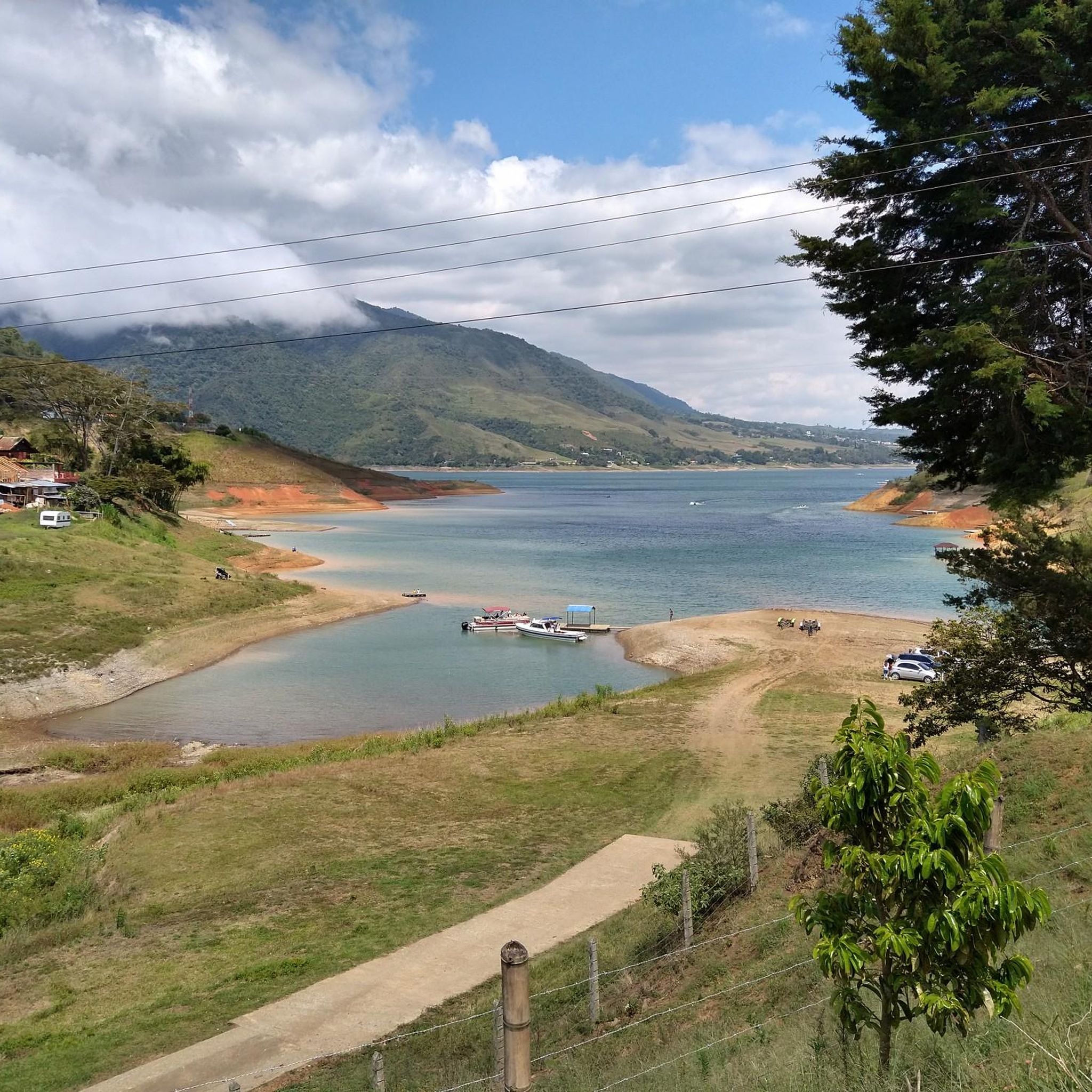
It is a municipality of Colombia located in the department of Valle del Cauca. The Municipality is known culturally, touristically and economically because the Hacienda El Paraíso is located in its jurisdiction, the place where the events of the novel María, a masterpiece by Valle del Cauca writer Jorge Isaacs, took place. Part of its territory also belongs to the Las Hermosas National Natural Park. It is located to the east of Cali, the capital of the department, about 47 km away.
0
0

Short, steep and demanding climb at the end
0
0
Frequently Asked Questions
How many road cycling routes are available in El Cerrito?
El Cerrito offers a selection of road cycling routes, with a total of 4 routes detailed in this guide. These routes provide various options for exploring the area's unique terrain.
What kind of terrain can I expect on El Cerrito road cycling routes?
Road cycling in El Cerrito features a diverse landscape characterized by abundant green spaces and hilly terrain. You can expect routes with significant elevation changes, offering panoramic views of the San Francisco Bay Area, as well as flatter, more accessible paths.
What are the typical difficulty levels for road cycling routes in El Cerrito?
The road cycling routes in El Cerrito range from easy to moderate difficulty. For example, the Maracaibo – Fuente de Agua loop from Palmira is an easy option, while routes like the Santa Elena Sign – Hacienda El Paraíso loop from Palmira are moderate, featuring notable elevation gains.
Are there fully paved road cycling routes in El Cerrito?
Yes, for those seeking fully paved and relatively flat options, the Ohlone Greenway (also known as the "BART Path") is an excellent choice. This multi-use path runs beneath the BART tracks, providing an accessible route that connects into Albany and Berkeley. You can find more information about it on the El Cerrito city website.
Where can I find challenging road cycling routes with significant elevation gain?
For more experienced road cyclists, the hilly terrain around El Cerrito offers challenging rides with substantial ascents. Routes in the area, particularly those leading towards Grizzly Peak, feature steep grades and significant elevation changes, rewarding cyclists with spectacular panoramic views of the entire Bay Area. The Ginebra loop from Palmira is one such route with considerable elevation.
What scenic viewpoints can I find along El Cerrito road cycling routes?
Many of El Cerrito's elevated areas and parks, such as the Hillside Natural Area and Cerrito Vista Park, offer picturesque vistas of the San Francisco Bay, the Golden Gate Bridge, and Mount Tamalpais. The highlight La Quisquina is a notable viewpoint in the region.
Are there any interesting landmarks or attractions to see while road cycling?
Yes, El Cerrito's routes can take you past several points of interest. You might encounter the Cathedral of Our Lady of the Rosary of Palmar or the Santa Elena Clock Tower. The region also features charming settlements like El Castillo Village and Guacarí.
Is public transport accessible for road cyclists in El Cerrito?
Yes, El Cerrito is well-served by public transport, particularly BART. The Ohlone Greenway, a multi-use path, runs directly beneath the BART tracks, providing convenient non-motorized access to BART stations and connecting to similar paths in neighboring cities.
Are there family-friendly road cycling options in El Cerrito?
For families or those new to cycling, the Ohlone Greenway (BART Path) offers a relatively flat and accessible paved route. It's a great option for casual cycling and provides a safe environment away from vehicle traffic.
What do other road cyclists enjoy most about road cycling in El Cerrito?
The road cycling routes in El Cerrito are highly rated by the komoot community, with an average score of 4.9 stars. Reviewers often praise the stunning panoramic views of the San Francisco Bay, the challenging hilly terrain, and the connectivity to larger regional parks like Tilden and Wildcat Canyon for extended adventures.
What is the best time of year for road cycling in El Cerrito?
El Cerrito generally offers pleasant cycling conditions throughout much of the year. Spring and fall often provide mild temperatures and clear skies, ideal for enjoying the Bay views. Summers are typically warm but often tempered by coastal breezes, while winters are mild but can bring rain.
Are there any circular road cycling routes in El Cerrito?
Yes, many of the road cycling routes in El Cerrito are designed as loops, allowing you to start and end at the same point. Examples include the Hacienda El Paraíso – Santa Elena Sign loop from Palmira and the Hacienda El Paraíso – Marin Sport loop from El viejo juancho.
Most popular routes in El Cerrito
Most popular attractions in El Cerrito

Get inspired with the komoot mobile app


Explore more
Browse the best Road cycling routes in other regions.
