The best road cycling routes in San Pedro
4.8
(68)
367
riders
16
rides
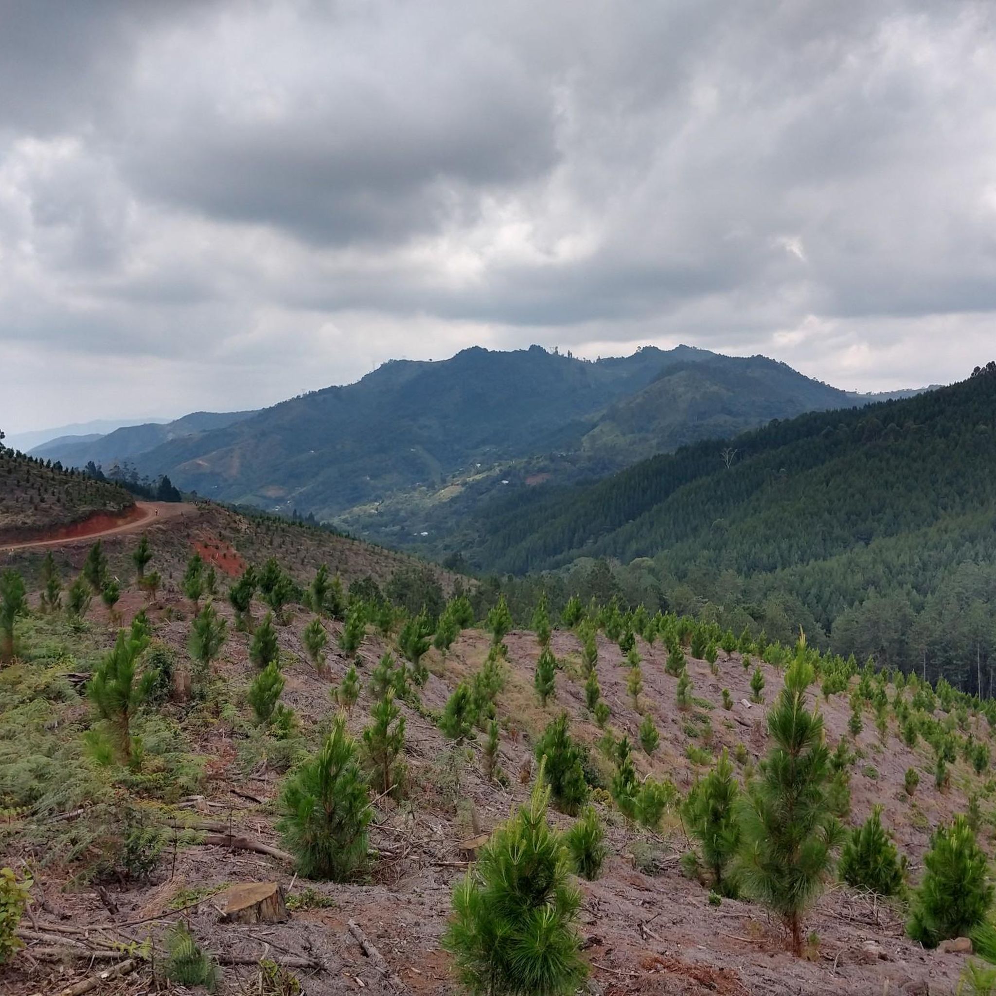
Road cycling in San Pedro offers varied terrain, from fertile valleys to rolling hills. The region is characterized by agricultural landscapes and river systems, providing diverse backdrops for rides. Routes often feature moderate climbs, with some reaching over 700 meters in elevation gain, suitable for cyclists seeking undulating paths.
Best road cycling routes in San Pedro
- The most popular road cycling route is La Habana Church loop from Buga, a 17.8 miles (28.7 km) trail that takes 1 hour…
Last updated: September 5, 2026
4.3
(6)
56
riders
30.7km
01:31
460m
460m
Moderate road ride. Good fitness required. Mostly well-paved surfaces and easy to ride.
5.0
(6)
48
riders
58.9km
02:20
210m
210m
Moderate road ride. Good fitness required. Mostly well-paved surfaces and easy to ride.

Sign up for free
4.8
(18)
38
riders
Moderate road ride. Good fitness required. Mostly well-paved surfaces and easy to ride.
5.0
(3)
38
riders
86.8km
03:53
710m
710m
Moderate road ride. Good fitness required. Mostly well-paved surfaces and easy to ride.
5.0
(1)
34
riders
Moderate road ride. Good fitness required. Mostly well-paved surfaces and easy to ride.
Get access to more routes and recommendations from other explorers.
Sign up for free
Already have an account?
Our route recommendations are based on thousands of hikes, rides, and runs completed by other people on komoot.
Start today with a free account
Your next adventure awaits.
Login or Signup
Popular around San Pedro


Tips from the Community

EXCELLENT IN ALL CASES
0
0


It is a safe, wide, well-signposted route in perfect conditions. On this route from the hill we can say to the city of Cali, the township of Rozo, the Alfonzo Bonilla Aragón International Airport, and the city of Palmira.
0
0
It is a municipality and town, located in the western region of Colombia, in the center of the department of Valle del Cauca, surrounded by the green of its cane fields at 3° 45' 55 N latitude, and 76° 20' 1. West longitude. San Juan Bautista de Guacarí limits to the north with the municipality of Guadalajara de Buga, to the east with Ginebra, to the south with the Municipality of El Cerrito, and to the west with Yotoco and Vijes. Guacarí is located approximately 45 km from Cali, the departmental capital.
0
0
It is a municipality of Colombia located in the department of Valle del Cauca. The Municipality is known culturally, touristically and economically because the Hacienda El Paraíso is located in its jurisdiction, the place where the events of the novel María, a masterpiece by Valle del Cauca writer Jorge Isaacs, took place. Part of its territory also belongs to the Las Hermosas National Natural Park. It is located to the east of Cali, the capital of the department, about 47 km away.
0
0

It is a good and beautiful place
0
0
Frequently Asked Questions
What kind of terrain can I expect on road cycling routes in San Pedro?
San Pedro offers a diverse road cycling landscape, characterized by fertile valleys, agricultural areas, and rolling hills. You'll find routes with moderate climbs, some reaching over 700 meters in elevation gain, providing undulating paths through river systems and rural scenery.
How many road cycling routes are available in San Pedro?
There are over 15 road cycling routes available in San Pedro, catering to various skill levels. The komoot community has explored 17 distinct routes in the region.
Are there road cycling routes suitable for beginners in San Pedro?
Yes, San Pedro offers several routes suitable for beginners. Out of the total routes, 5 are classified as easy, providing a gentle introduction to road cycling in the region's scenic agricultural valleys.
What are some popular moderate road cycling routes in San Pedro?
Many road cyclists enjoy moderate routes in San Pedro. For example, the Loop via Rozo – Marin Sport loop from Buga is a popular 60.1 km path traversing agricultural areas with gentle ascents. Another option is the Concrete Bench in Park – Río Cuancua loop from Estación del Ferrocarril de Tuluá, a 47.8 km trail through river valleys.
Are there challenging road cycling routes for advanced riders in San Pedro?
Yes, for advanced riders seeking more challenging climbs, San Pedro has routes with significant elevation gain. There are 3 routes classified as difficult, offering more strenuous options through the region's rolling hills and valleys.
What do other road cyclists say about the routes in San Pedro?
The road cycling routes in San Pedro are highly rated by the komoot community, with an average score of 4.85 stars from over 59 reviews. Cyclists often praise the varied terrain, from agricultural valleys to river systems, and the well-maintained paths.
Are there any family-friendly road cycling options in San Pedro?
While specific 'family-friendly' designations aren't always applied to road cycling, the easier routes with less elevation gain and traffic, often found in the agricultural valleys, could be suitable for families with older children or those comfortable with road riding. Always check route details for specific conditions.
What is the typical length of road cycling routes in San Pedro?
Route lengths in San Pedro vary significantly. You can find shorter loops like the La Habana Church loop from Buga, which is 28.7 km, to longer rides such as the La Habana Church loop from Estación del Ferrocarril de Tuluá, spanning 85.8 km.
Are there loop routes available for road cycling in San Pedro?
Yes, many of the road cycling routes in San Pedro are designed as loops, allowing you to start and finish at the same point. Examples include the View of the Lush Green Valley – Bugalagrande loop from Estación del Ferrocarril de Tuluá and the Loop via Rozo – Marin Sport loop from Buga.
What kind of scenery can I expect while road cycling in San Pedro?
Road cycling in San Pedro offers picturesque views of agricultural valleys, lush river systems, and rolling hills. The routes often pass through rural scenery, providing a tranquil backdrop for your ride.
Where can I find parking or public transport access for road cycling routes in San Pedro?
Many routes in San Pedro start from towns like Buga or Estación del Ferrocarril de Tuluá, which typically offer parking facilities. For public transport, local bus services might connect to these starting points, but it's advisable to check specific schedules and routes for bicycle transport options.
Most popular routes in San Pedro

Get inspired with the komoot mobile app


Explore more
Browse the best Road cycling routes in other regions.
