The best walks and hikes in Santa Cruz
4.7
(55)
616
hikers
6
hikes
Hiking in Santa Cruz offers diverse landscapes, from towering redwood forests to rugged coastal bluffs and sandy beaches. The region features varied terrain, including dense woodlands, river valleys, and marine terraces. Elevation changes are present, ranging from gentle coastal paths to more undulating forest trails. The compact geography allows for easy transitions between different environments.
Best hiking trails in Santa Cruz
- The most popular hiking route is Main Crater of Irazú Volcano – View of Irazú Volcano Crater loop from…
Last updated: November 1, 2026
4.5
(27)
250
hikers
Easy hike. Easily walkable paths.
5.0
(5)
129
hikers
17.5km
06:01
810m
810m
Hard hike. Very good fitness required. Mostly walkable paths. Sure-footedness required.

4.8
(6)
76
hikers
6.89km
02:49
570m
570m
Moderate hike. Good fitness required. Easily walkable paths.
4.9
(9)
83
hikers
6.96km
02:30
320m
320m
Moderate hike. Good fitness required. Mostly walkable paths. Sure-footedness required.
5.0
(4)
12
hikers
Easy hike. Easily walkable paths.
Our route recommendations are based on thousands of hikes, rides, and runs completed by other people on komoot.
Start today with a free account
Your next adventure awaits.
Popular around Santa Cruz

Tips from the Community

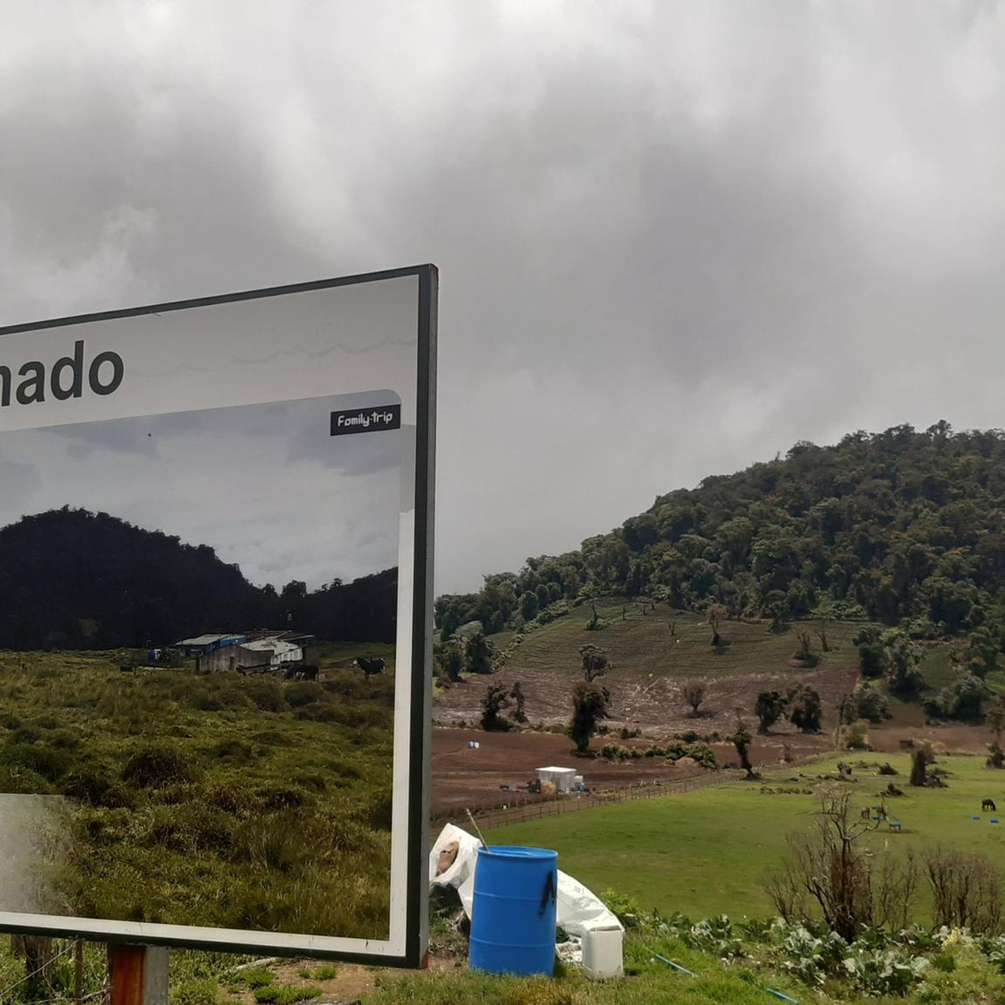
To get here, you can enter Prusia Park and walk along the Cabeza de Vaca Trail, but you'll have to pay a toll to use the access route through Finca Hacienda Retes. Alternatively, you can exit the park through the main entrance and take the first turn on the right onto an asphalt road, also paying a toll. Continue up a steep hill and you'll reach the Cabeza de Vaca Trail again.
0
0
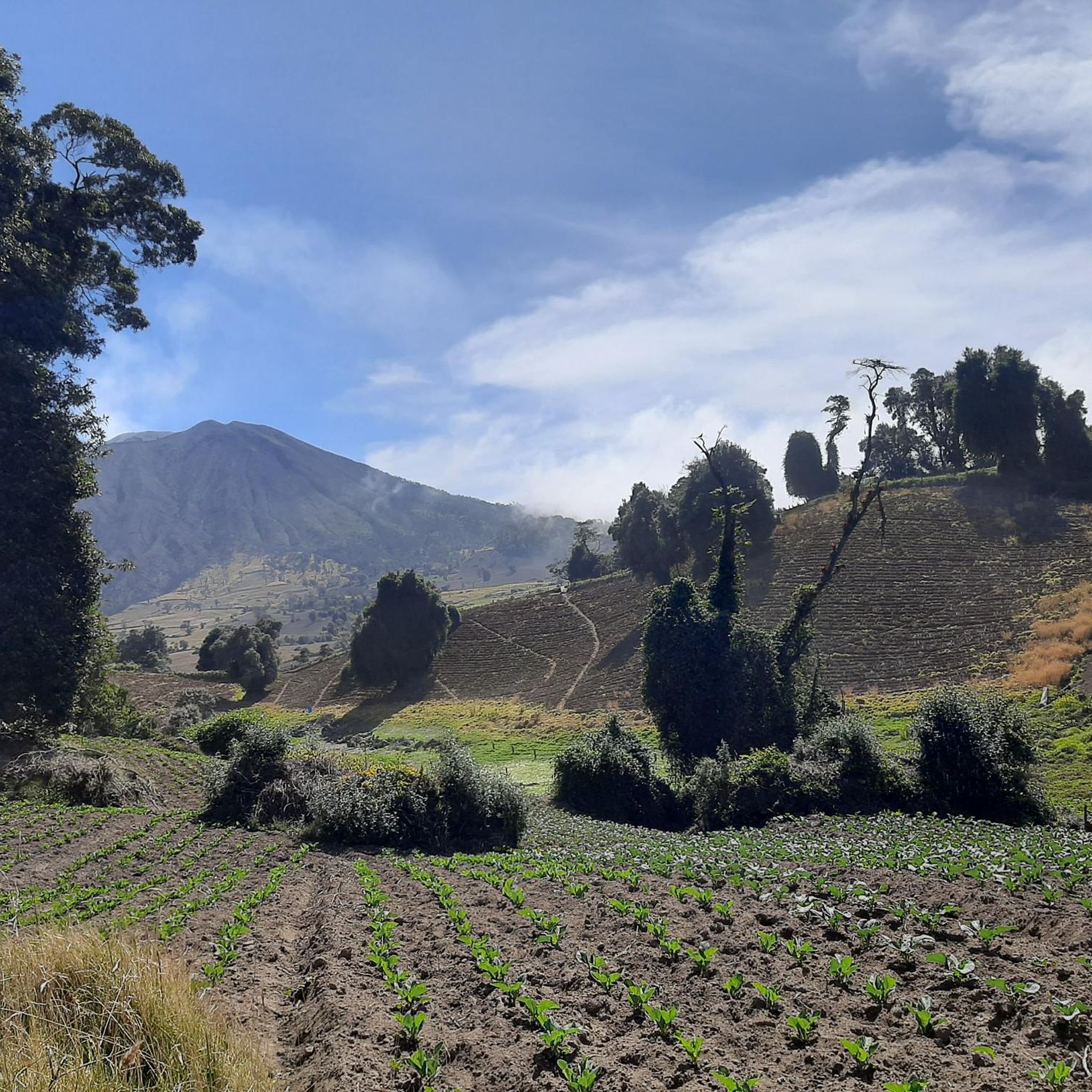
This trail offers spectacular views of Cartago province. Please note that to continue inside the park, you must return along this same trail.
0
0
If you plan to use either of these two trails, keep in mind that you must return along the same route. A few years ago, you could enter and exit the park using these trails, but currently, you can only exit through Cabeza de Vaca. However, you will have to pay a toll of ¢1,000 ($2) for the Hacienda Retes farm. It should be noted that at least on this occasion, we were offered "free" coffee or sweet water.
0
0

Here you can buy souvenirs and there is also a small café/bakery
0
0

A very beautiful viewpoint. We used the short circular trail to acclimatize/prepare for Cerro Chirripó, as you're at a very high altitude. Due to the altitude, it can be chilly and windy; we were there in April, and a sweater was sufficient. I can definitely recommend visiting the volcano in the morning. Between 8 and 10 a.m., there are hardly any people there, and the sky is usually still clear at this time. Clouds usually move up the mountain from mid-morning onward. The view is magnificent; however, the turquoise lakes aren't visible during the dry season; they're probably only full during the rainy season. There's a small restaurant that leaves nothing to be desired; all in all, it's fantastic.
0
0

A visit worth it for volcano lovers. Recommended in the morning
0
0

Very windy but beautiful.
0
0
Very windy but beautiful.
1
0
Frequently Asked Questions
What types of landscapes can I expect to see while hiking in Santa Cruz?
Santa Cruz offers an incredibly diverse range of landscapes. You can hike through magnificent redwood forests, explore rugged coastal bluffs with dramatic ocean views, or stroll along sandy beaches. The region also features varied forest ecosystems, including oak woodlands and riparian areas.
Are there any easy hiking trails suitable for beginners or casual walkers in Santa Cruz?
Yes, Santa Cruz has several easy trails perfect for beginners or those looking for a relaxed walk. For example, the Main Crater of Irazú Volcano – View of Irazú Volcano Crater loop from Irazú Volcano National Park is an easy 4.4 km route. Another gentle option is the Hiking loop from Cooperativa, which is just 1.4 km.
Can I find trails with waterfalls in the Santa Cruz area?
Yes, the region offers opportunities to see waterfalls. For instance, The Forest of Nisene Marks State Park is known for trails that lead to Maple Falls. You can also find a specific highlight for a Waterfall in the area.
What are some notable natural features or landmarks to look out for on Santa Cruz hikes?
Santa Cruz is rich in natural landmarks. You can visit the iconic Main Crater of Irazú Volcano, explore the vast Irazú Volcano National Park, or wander through the unique Eucalyptus Forest, Hacienda Retes, Prusia. Coastal areas like Natural Bridges State Beach are famous for their natural arch formations.
Are there any longer or more challenging hikes available in Santa Cruz?
While many trails are easy, there are options for those seeking a moderate challenge. The Hiking loop from Parque Nacional Volcán Turrialba is a moderate 6.9 km path with significant elevation gain, offering a more strenuous experience.
What do other hikers say about the trails in Santa Cruz?
The hiking trails in Santa Cruz are highly regarded by the komoot community, with an average rating of 4.8 stars from over 40 reviews. Hikers often praise the diverse scenery, from volcanic landscapes to lush forests, and the variety of routes available for different skill levels.
Are there any circular hiking routes in Santa Cruz?
Yes, several circular routes are available, allowing you to start and end at the same point. Examples include the Main Crater of Irazú Volcano – View of Irazú Volcano Crater loop from Irazú Volcano National Park and the View of Irazú Volcano Crater – Main Crater of Irazú Volcano loop from Patio de Agua.
Can I find trails that offer views of the ocean or coastline in Santa Cruz?
Absolutely. Santa Cruz's coastline is renowned for its dramatic ocean views. Wilder Ranch State Park, for instance, offers over 34 miles of trails that traverse coastal terraces and rugged bluffs, providing breathtaking vistas of the Pacific Ocean and opportunities to spot marine wildlife.
Are there any trails in Santa Cruz that go through redwood forests?
Yes, Santa Cruz is famous for its magnificent redwood forests. Henry Cowell Redwoods State Park and The Forest of Nisene Marks State Park both offer extensive trail networks winding through towering redwoods, providing a serene and awe-inspiring hiking experience.
How many hiking routes are available in the Santa Cruz region?
There are several hiking routes documented in the Santa Cruz region, offering a variety of experiences. Currently, you can explore six distinct routes, ranging from easy strolls to moderate ascents.
Are there any trails that pass by historical sites or unique geological features?
Many trails in Santa Cruz offer more than just natural beauty. For example, Pogonip features 19th-century limekilns, and The Forest of Nisene Marks State Park has remnants of an old sawmill and the epicenter of the 1989 Loma Prieta earthquake. The volcanic areas also present unique geological formations.
Most popular routes in Santa Cruz
Most popular attractions in Santa Cruz

Get inspired with the komoot mobile app


Explore more
Browse the best Hikes in other regions.
