The best running trails in Sierra
4.7
(13)
309
runners
14
runs
Jogging in Sierra offers a diverse landscape for runners. The region is characterized by varied terrain, including forested paths and elevated viewpoints, providing a mix of challenges and scenic beauty. Runners can expect moderate climbs and descents across its trails, making for engaging running experiences.
Best jogging routes in Sierra
- The most popular jogging route is Running loop from Santa Elena, a 5.1 miles (8.2 km) trail that takes 56 minutes to complete. This route features moderate elevation changes…
Last updated: July 17, 2026
4.2
(5)
38
runners
8.21km
00:56
230m
230m
Moderate run. Good fitness required. Mostly paved surfaces. Suitable for all skill levels.
4.0
(3)
31
runners
7.50km
00:52
210m
210m
Moderate run. Good fitness required. Mostly paved surfaces. Suitable for all skill levels.

Sign up for free
18
runners
7.21km
00:55
210m
210m
Moderate run. Good fitness required. Mostly paved surfaces. Suitable for all skill levels.
12
runners
10.3km
01:10
290m
290m
Moderate run. Good fitness required. Mostly paved surfaces. Suitable for all skill levels.
5.0
(1)
12
runners
7.22km
00:49
180m
180m
Moderate run. Good fitness required. Mostly paved surfaces. Suitable for all skill levels.
Get access to more routes and recommendations from other explorers.
Sign up for free
Already have an account?
Our route recommendations are based on thousands of hikes, rides, and runs completed by other people on komoot.
Start today with a free account
Your next adventure awaits.
Login or Signup
Popular around Sierra
Tips from the Community

Compared to the other trails in the reserve, we were able to hike here for 3.5 hours without seeing other people 🌴🌳 🐛
0
0
Frequently Asked Questions
How many running routes are available in Sierra?
There are over 14 dedicated running routes in Sierra, offering a diverse range of experiences. The region is known for its varied terrain, including forested paths and elevated viewpoints.
What is the typical difficulty level of running trails in Sierra?
Most running trails in Sierra are rated as moderate, with 12 out of 14 routes falling into this category. These routes feature moderate elevation changes and varied terrain, providing an engaging experience for most runners. There are also 2 more challenging routes for those seeking a greater test.
Are there any beginner-friendly jogging trails in Sierra?
While many routes are moderate, the varied terrain of Sierra offers options suitable for different ability levels. For a balanced experience with moderate elevation, consider the Running loop from Cañitas, which is 4.7 miles (7.5 km) long.
What kind of scenery can I expect on Sierra's jogging routes?
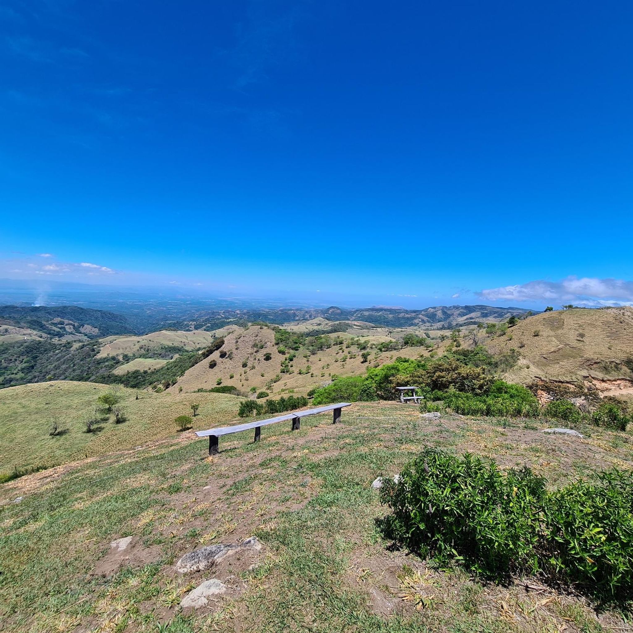
Sierra's jogging routes are renowned for their natural beauty, featuring forested paths, elevated viewpoints, and often leading through cloud forest reserves. You can experience stunning vistas, such as the View of the Pacific Ocean from Cerro Pinocho, or explore unique natural features like the Strangler Fig Tree.
Are there any running routes in Sierra that pass by waterfalls?
Yes, several areas in Sierra offer the chance to see waterfalls. For example, the Waterfall in Monteverde Cloud Forest Reserve is a notable attraction that can be incorporated into your running plans or visited nearby.
What do other runners enjoy most about jogging in Sierra?
The running routes in Sierra are highly rated by the komoot community, with an average score of 4.7 stars from over 10 reviews. Runners frequently praise the region's diverse landscapes, the engaging moderate climbs and descents, and the beautiful natural surroundings, especially the cloud forest experiences.
Are there any loop jogging trails in Sierra?
Yes, many of Sierra's running paths are convenient loops. A popular option is the View of Caño Negro loop from Reserva Bosque Nuboso Santa Elena, a 4.5 miles (7.2 km) trail that takes you through a cloud forest reserve.
What are some longer running routes in Sierra?
For a longer run, consider the Monteverde Sunset Viewpoint loop from Santa Elena. This route covers 6.4 miles (10.3 km) and offers significant elevation changes, making it a good option for those looking for a more extended workout.
Can I find routes that offer elevated viewpoints in Sierra?
Absolutely. Sierra is known for its elevated viewpoints. The Monteverde Sunset Viewpoint loop from Barrio Monteverde is a great choice, offering scenic vistas along its 4.5 miles (7.2 km) path.
Are there any trails that go through cloud forests in Sierra?
Yes, the region is famous for its cloud forests. The View of Caño Negro loop from Reserva Bosque Nuboso Santa Elena is an excellent example, leading you directly through a lush cloud forest environment.
What is the best time of year to go running in Sierra?
Sierra offers good running conditions year-round due to its moderate climate. However, the dry season (typically December to April) is often preferred for clearer trails and less humidity, while the green season (May to November) brings lush landscapes and occasional rain showers, which can be refreshing.
Most popular routes in Sierra
Most popular attractions in Sierra

Get inspired with the komoot mobile app


Explore more
Browse the best Running Trails & Routes in other regions.
